Old Map Company
Shop
Blog
Gallery
Cart (
0
)
0
Old Map Company
Shop
Blog
Gallery
Contact Us
All items
LIGHTHOUSE PLANS
BIRD'S EYE VIEWS
IRELAND MAPS
NAUTICAL CHARTS
CONNECTICUT MAPS
CALIFORNIA MAPS
MAINE MAPS
MASSACHUSETTS MAPS
MICHIGAN MAPS
NEW HAMPSHIRE MAPS
NEW JERSEY MAPS
NEW YORK MAPS
PENNSYLVANIA MAPS
FLORIDA MAPS + CHARTS
RHODE ISLAND MAPS
PRINTS + POSTERS
WISCONSIN MAPS
VERMONT MAPS
MARYLAND MAPS
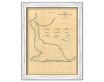
Edgartown Harbor and Cotemy Bay, Martha's Vineyard, Massachusetts 1871 Nautical Chart
$44.00
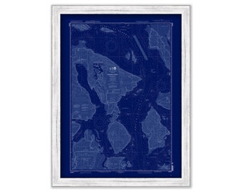
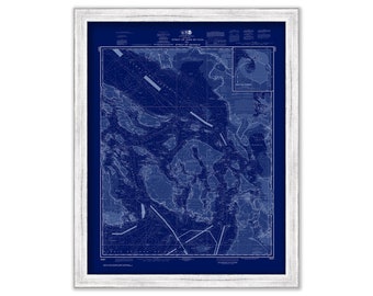
ROSARIO STRAIT-Northern Part, Washington - 2010 Nautical Chart Blueprint
$26.00
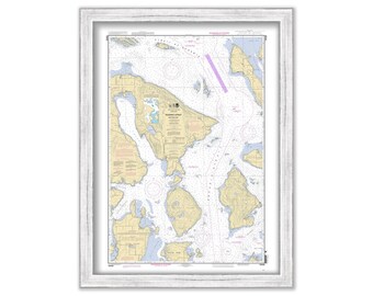
ROSARIO STRAIT-Northern Part, Washington - 2010 Nautical Chart
$26.00
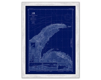
TRAVERSE BAY, Michigan - 2014 Nautical Chart Blueprint
$26.00
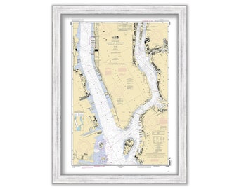
NEW YORK HARBOR - Hudson and East River - 2010 Nautical Chart
$30.00
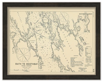
BATH to BOOTHBAY, Maine 1909 - Nautical Chart by Geo. Eldridge
$26.00
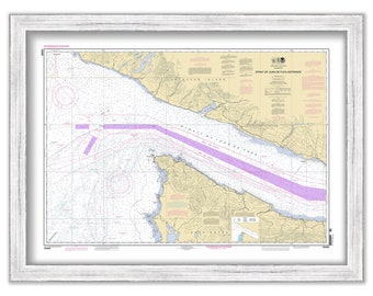
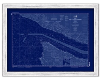
Strait of Georgia and Strait of Juan De Fuca, Washington - 2017 Nautical Chart Blueprint
$26.00
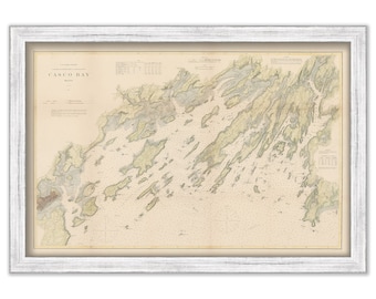
Casco Bay, Maine Nautical Chart 1870 - Colored land - U.S. Coast Survey
$44.00
Strait of Juan De Fuca, Washington - 2013 Nautical Chart
$26.00
Strait of Juan De Fuca, Washington - 2013 Nautical Chart Blueprint
$26.00
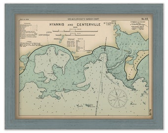
Hyannis and Centerville, Massachusetts - Nautical Chart by George W. Eldridge Colored Version
$50.00
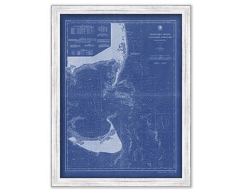
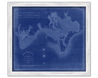
Nantucket Sound Eastern Approaches, Massachusetts - 1900 Nautical Chart Blueprint
$26.00
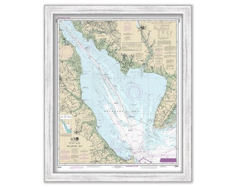
DELAWARE BAY, Delaware and New Jersey - 2017 Nautical Chart
$38.00
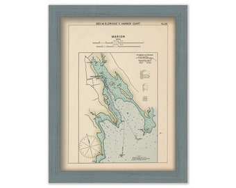
Marion, Massachusetts - Nautical Chart by George W. Eldridge Colored Version 0335
$50.00
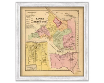
REHOBOTH BEACH/Lewes and Rehoboth, Delaware - 1868 Map
$40.00
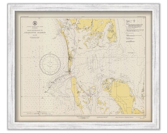
BOCA GRANDE, Florida 1947 Nautical Chart
$38.00
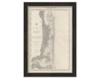
LONG BEACH ISLAND, New Jersey 1879 Nautical Chart
$44.00
PLYMOUTH, KINGSTON and DUXBURY Harbors, Massachusetts - 2010 Nautical Chart Blueprint
$26.00
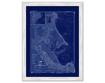
HYANNIS HARBOR, Massachusetts - 1826 Nautical Chart Blueprint
$26.00
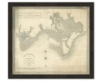
HYANNIS HARBOR, Massachusetts - 1826 Nautical Chart
$26.00
1
...
3
4
5
6
7
8
9
...
57
0 items in your cart
Close
Keep shopping! :)
Legal imprint
Close