Old Map Company
Shop
Blog
Gallery
Cart (
0
)
0
Old Map Company
Shop
Blog
Gallery
Contact Us
All items
LIGHTHOUSE PLANS
BIRD'S EYE VIEWS
IRELAND MAPS
NAUTICAL CHARTS
CONNECTICUT MAPS
CALIFORNIA MAPS
MAINE MAPS
MASSACHUSETTS MAPS
MICHIGAN MAPS
NEW HAMPSHIRE MAPS
NEW JERSEY MAPS
NEW YORK MAPS
PENNSYLVANIA MAPS
FLORIDA MAPS + CHARTS
RHODE ISLAND MAPS
PRINTS + POSTERS
WISCONSIN MAPS
VERMONT MAPS
MARYLAND MAPS
WARREN RIVER, Rhode Island - Nautical Chart 1932
$30.00
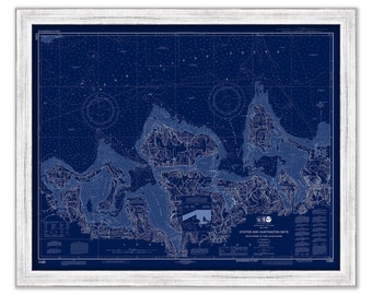
OYSTER and HUNTINGTON BAYS, Long Island, New York - Nautical Chart Blueprint published in 2014
$44.00
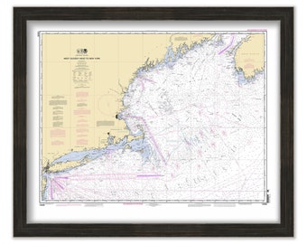
West Quoddy Head to New York - 2012 Nautical Chart
$26.00
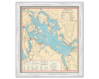
LAKE WINNIPESAUKEE, New Hampshire 1967 Nautical Chart
$38.00
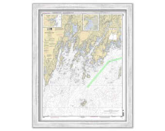
Long Island Sound Nautical Chart - Norwalk Islands to Southwest ledge
$53.00
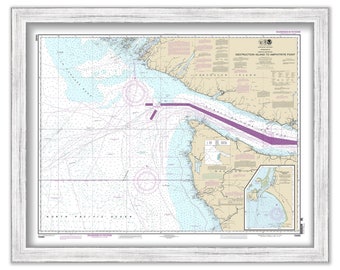
Approaches to Strait of Juan De Fuca, Washington - 2013 Nautical Chart Blueprint
$26.00
Approaches to Strait of Juan De Fuca, Washington - 2013 Nautical Chart
$26.00
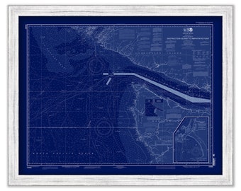
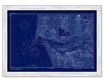
COLUMBIA RIVER, Washington/Oregon - 2012 Nautical Chart Blueprint
$26.00
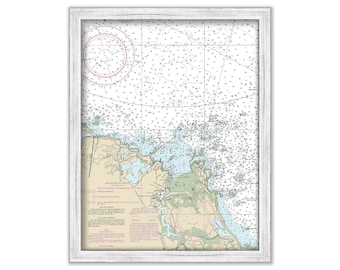
HAMPSTEAD BAY, Long Island, New York - Nautical Chart published in 1934
$44.00
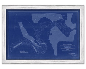
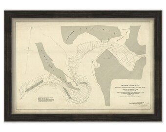
CHATHAM HARBOR SURVEY, Massachusetts - 1890 Nautical Chart Blueprint
$26.00
CHATHAM HARBOR SURVEY, Massachusetts - 1890 Nautical Chart
$26.00
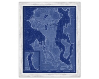
SEATTLE to BREMERTON, Washington - 2019 Nautical Chart Blueprint
$26.00
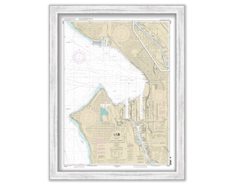
SEATTLE HARBOR, Washington - 2012 Nautical Chart
$26.00
MONHEGAN ISLAND and Muscongus Bay, Maine - Nautical Chart 2011
$44.00
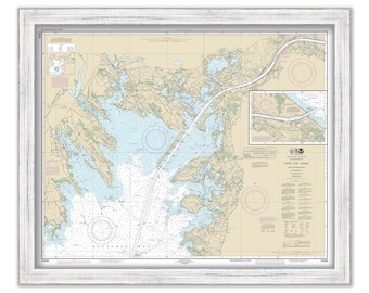
CAPE COD CANAL and Approaches, Massachusetts - 2017 Nautical Chart
$44.00
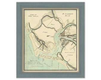
CHARLESTON HARBOR, South Carolina - Circa 1800 Nautical Chart
$26.00
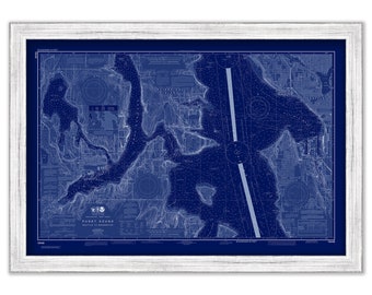
Seattle Harbor and Lake Washington, Washington - 1948 Nautical Chart Blueprint
$26.00
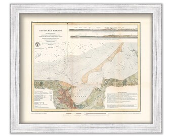
NANTUCKET HARBOR, Massachusetts 1866 Colored Nautical Chart
$44.00
COHASSET HARBOR, Massachusetts - Nautical Chart 2018
$38.00
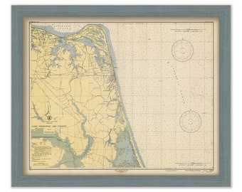
VIRGINIA BEACH, Virginia - 1946 Nautical Chart
$26.00
1
2
3
4
5
6
7
8
...
57
0 items in your cart
Close
Keep shopping! :)
Legal imprint
Close