Old Map Company
Shop
Blog
Gallery
Cart (
0
)
0
Old Map Company
Shop
Blog
Gallery
Contact Us
All items
LIGHTHOUSE PLANS
BIRD'S EYE VIEWS
IRELAND MAPS
NAUTICAL CHARTS
CONNECTICUT MAPS
CALIFORNIA MAPS
MAINE MAPS
MASSACHUSETTS MAPS
MICHIGAN MAPS
NEW HAMPSHIRE MAPS
NEW JERSEY MAPS
NEW YORK MAPS
PENNSYLVANIA MAPS
FLORIDA MAPS + CHARTS
RHODE ISLAND MAPS
PRINTS + POSTERS
WISCONSIN MAPS
VERMONT MAPS
MARYLAND MAPS
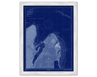
Vineyard Haven and Oak Bluffs, Martha's Vineyard, Massachusetts - 1961 Nautical Chart Blueprint
$26.00
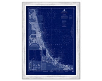
CHICAGO LAKE FRONT, Illinois - 2020 Nautical Chart Blueprint
$26.00
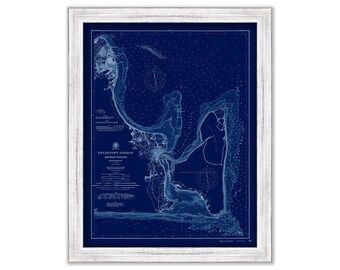
Edgartown, Martha's Vineyard, Massachusetts 1894 Nautical Chart Blueprint
$44.00
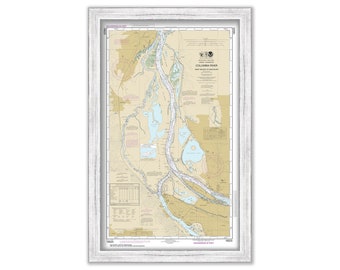
PORTLAND, Oregon - Nautical Chart published in 2016
$38.00
NEHALEM RIVER, Oregon - 2012 Nautical Chart
$26.00
NAHANT and LYNN, Massachusetts 1909 Nautical Chart by Geo. Eldridge Colored Version
$39.00
Cape Cod to Cape Ann - Nautical Chart - George W. Eldridge Chart D - 1902
$37.00
SAVANNAH, GEORGIA - Circa 1800 Map
$26.00
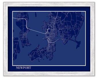
NEWPORT, Rhode Island - Contemporary Map Poster Blueprint
$26.00
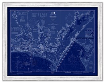
BEAUFORT INLET, North Carolina - 2015 Nautical Chart Blueprint
$38.00
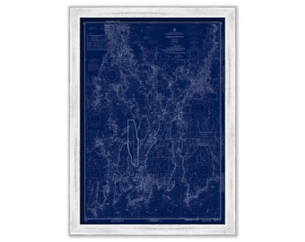
NARRAGANSETT BAY, Rhode Island - Blueprint Nautical Chart by NOAA 1972
$44.00
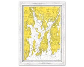
NARRAGANSETT BAY, Rhode Island - Nautical Chart by NOAA 1972
$44.00
Narragansett Bay and Newport Harbor, Rhode Island - Nautical Chart by NOAA 1972
$40.00
St CROIX, VIRGIN ISLANDS - 1923 Nautical Chart
$44.00
CHATHAM Harbor and PLEASANT BAY, Massachusetts - Nautical Chart 1971
$38.00
SAINT LAWRENCE RIVER, New York - The Thousand Islands 2019 Nautical Chart
$37.00
LAKE of the WOODS, Minnesota - 1955 Nautical Chart Blueprint
$38.00
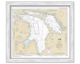
LAKE HURON - 2016 Nautical Chart
$26.00
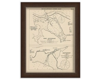
Port Jefferson, New York and Southport, Connecticut - Nautical Chart by George W. Eldridge 1901
$42.00
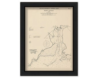
New Haven, Connecticut - Nautical Chart by George W. Eldridge 1901
$42.00
1
...
4
5
6
7
8
9
10
...
57
0 items in your cart
Close
Keep shopping! :)
Legal imprint
Close