Old Map Company
Shop
Blog
Gallery
Cart (
0
)
0
Old Map Company
Shop
Blog
Gallery
Contact Us
All items
LIGHTHOUSE PLANS
BIRD'S EYE VIEWS
IRELAND MAPS
NAUTICAL CHARTS
CONNECTICUT MAPS
CALIFORNIA MAPS
MAINE MAPS
MASSACHUSETTS MAPS
MICHIGAN MAPS
NEW HAMPSHIRE MAPS
NEW JERSEY MAPS
NEW YORK MAPS
PENNSYLVANIA MAPS
FLORIDA MAPS + CHARTS
RHODE ISLAND MAPS
PRINTS + POSTERS
WISCONSIN MAPS
VERMONT MAPS
MARYLAND MAPS
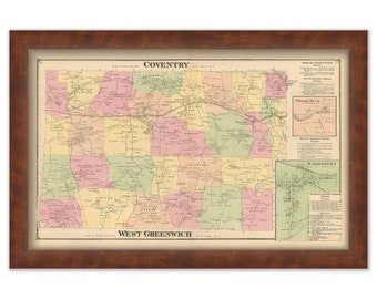
COVENTRY and WEST GREENWICH, Rhode Island 1870 Map
$50.00
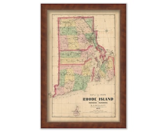
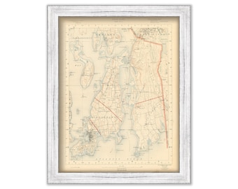
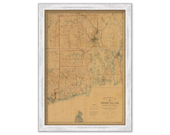
RHODE ISLAND State Map 1870
$50.00
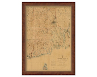
RHODE ISLAND 1891 MAP
$44.00
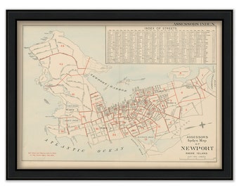
NEWPORT, Rhode Island 1893 Assessors Map
$50.00
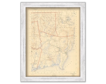
NEWPORT, Tiverton, Little Compton, Middletown and Portsmouth, Rhode Island 1891 Topographic Map - Replica or Genuine Original
$44.00
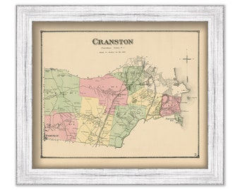
CRANSTON, Rhode Island 1870 Map
$39.00
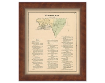
WOONSOCKET, Rhode Island 1870 Map
$39.00
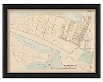
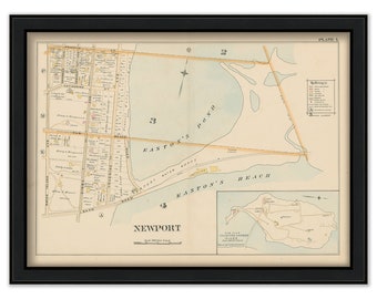
NEWPORT, Rhode Island 1893 Map-Plate G
$50.00
NEWPORT, Rhode Island 1893 Map-Plate L
$50.00
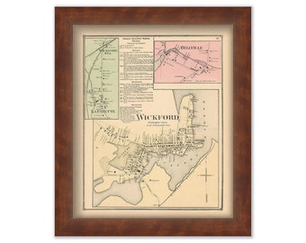
WICKFORD, Rhode Island 1870 Map
$39.00
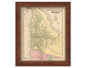
Village of WARREN, Rhode Island 1870 Map
$39.00
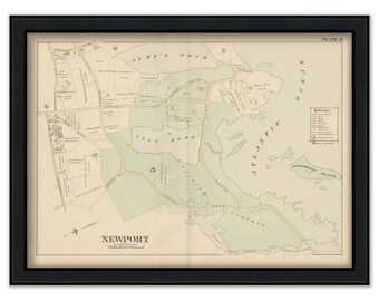
NEWPORT, Rhode Island 1893 Map-Plate D
$50.00
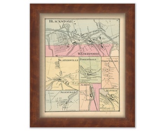
Village of WATERFORD, Rhode Island 1870 Map
$39.00
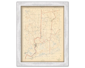
Westerly, Richmond, Hopkinton, Exeter and Charlestown, Rhode Island 1891 Topographic Map - Replica or Genuine Original
$44.00
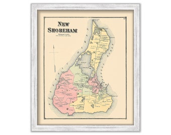
BLOCK ISLAND, Rhode Island 1870 ( New Shoreham )
$44.00
South Kingston, North Kingston, Narragansett, Exeter and Charlestown, Rhode Island 1891 Topographic Map - Replica or Genuine Original
$44.00
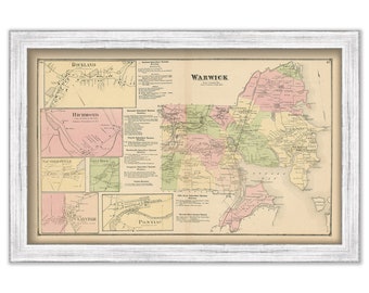
WARWICK, Rhode Island 1870 Map
$50.00
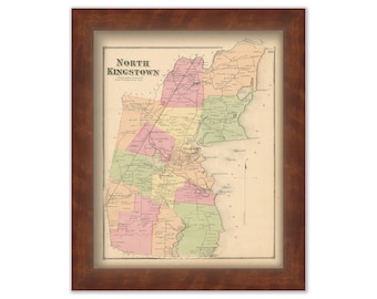
NORTH KINGSTOWN, Rhode Island 1870 Map
$39.00
RHODE ISLAND and Providence Plantations 1891 Map
$44.00
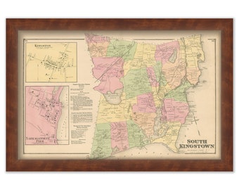
SOUTH KINGSTOWN, Rhode Island 1870 Map
$50.00
1
2
3
4
5
0 items in your cart
Close
Keep shopping! :)
Legal imprint
Close