Old Map Company
Shop
Blog
Gallery
Cart (
0
)
0
Old Map Company
Shop
Blog
Gallery
Contact Us
All items
LIGHTHOUSE PLANS
BIRD'S EYE VIEWS
IRELAND MAPS
NAUTICAL CHARTS
CONNECTICUT MAPS
CALIFORNIA MAPS
MAINE MAPS
MASSACHUSETTS MAPS
MICHIGAN MAPS
NEW HAMPSHIRE MAPS
NEW JERSEY MAPS
NEW YORK MAPS
PENNSYLVANIA MAPS
FLORIDA MAPS + CHARTS
RHODE ISLAND MAPS
PRINTS + POSTERS
WISCONSIN MAPS
VERMONT MAPS
MARYLAND MAPS
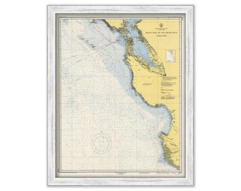
SAN FRANCISCO to Point Sur, California 1948 Nautical Chart
$38.00
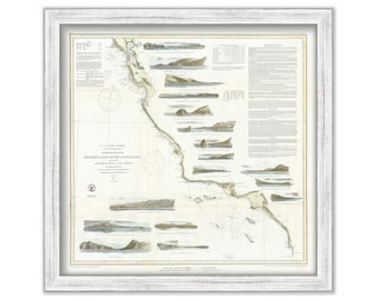
Western Coast of the United States - San Diego to San Francisco, California - 1853 Nautical Chart
$44.00
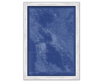
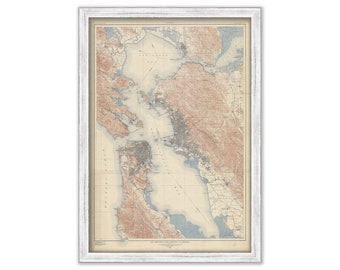
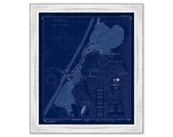
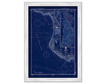
SAN FRANCISCO and VICINITY, California 1915 Map Blueprint
$50.00
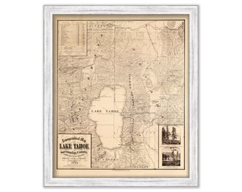
LAKE TAHOE, California/Nevada 1874 Topographical Map
$44.00
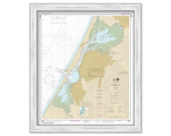
HUMBOLDT BAY, California 2016 Nautical Chart
$44.00
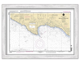
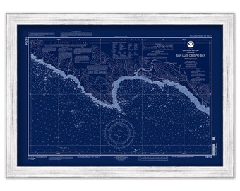
San Luis Obispo Bay, California 2004 Nautical Chart
$38.00
SAN PEDRO CHANNEL, California - 2017 Nautical Chart Blueprint
$44.00
SAN FRANCISCO and VICINITY, California 1915 Map
$38.00
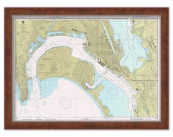
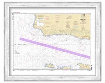
SAN DIEGO BAY, California - Nautical Chart 1984
$38.00
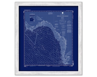
Tampa Bay to Cape San Blas, Florida - 2006 Nautical Chart Blueprint
$26.00
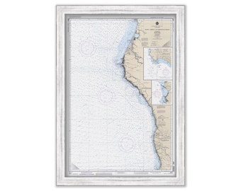
Point Arena to Trinidad Head, California - 1991 Nautical Chart
$44.00
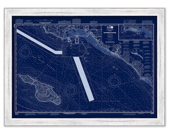
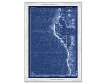
Point Arena to Trinidad Head, California - 1991 Nautical Chart Blueprint
$44.00
HUMBOLDT BAY, California 2016 Nautical Chart Blueprint
$44.00
San Luis Obispo Bay, California 2004 Nautical Chart Blueprint
$38.00
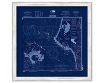
Saint George Reef and Crescent City Harbor, California 2011 Nautical Chart Blueprint
$40.00
Santa Cruz Island to Purisima Point, California 2009 Nautical Chart Blueprint
$44.00
Santa Cruz Island to Purisima Point, California 2009 Nautical Chart
$44.00
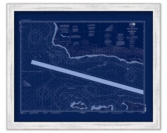
Pyramid Point to Cape Sebastian, California 2012 Nautical Chart
$44.00
ESTERO BAY, California - 2003 Nautical Chart Blueprint
$44.00
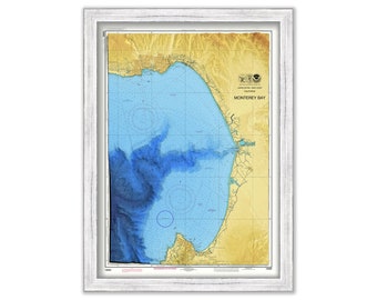
MONTEREY BAY, California - Nautical Chart - Enhanced Bathymetric Data Rendering
$48.00
1
2
3
0 items in your cart
Close
Keep shopping! :)
Legal imprint
Close