Old Map Company
Shop
Blog
Gallery
Cart (
0
)
0
Old Map Company
Shop
Blog
Gallery
Contact Us
All items
LIGHTHOUSE PLANS
BIRD'S EYE VIEWS
IRELAND MAPS
NAUTICAL CHARTS
CONNECTICUT MAPS
CALIFORNIA MAPS
MAINE MAPS
MASSACHUSETTS MAPS
MICHIGAN MAPS
NEW HAMPSHIRE MAPS
NEW JERSEY MAPS
NEW YORK MAPS
PENNSYLVANIA MAPS
FLORIDA MAPS + CHARTS
RHODE ISLAND MAPS
PRINTS + POSTERS
WISCONSIN MAPS
VERMONT MAPS
MARYLAND MAPS
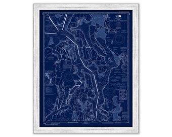
SEATTLE and PUGET SOUND, Washington - Blueprint Nautical Chart published in 2017
$44.00
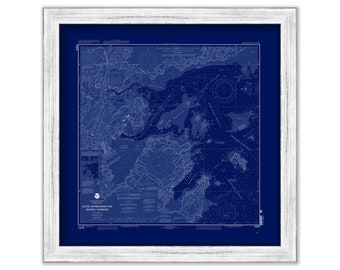
Salem, Marblehead and Beverly Harbors - 2010 Nautical Chart Blueprint
$38.00
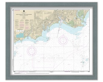
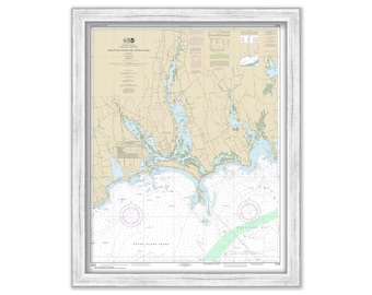
FAIRFIELD, SOUTHPORT and BRIDGEPORT, Connecticut - Nautical Chart published in 2016
$26.00
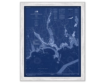
WESTPORT, Massachusetts - 2016 Nautical Chart Blueprint
$44.00
MONMOUTH SHORE, New Jersey - 1888 Topographical Map Blueprint
$25.00
WESTPORT, Massachusetts - 2016 Nautical Chart
$44.00
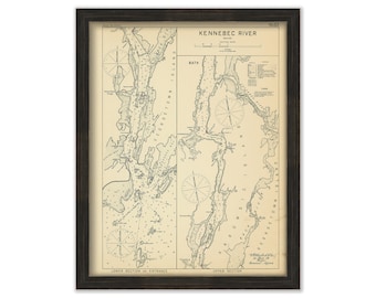
KENNEBEC RIVER, Maine - 1909 Nautical Chart by Geo. Eldridge
$26.00
SAN FRANCISCO BAY, California - Nautical Chart published in 2013
$26.00
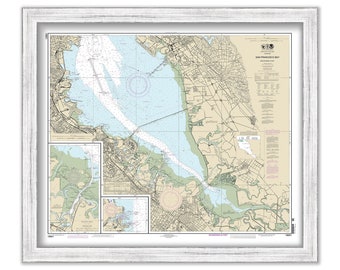
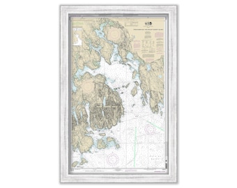
MOUNT DESERT ISLAND and Frenchman Bay, Maine 2013 Nautical Chart
$40.00
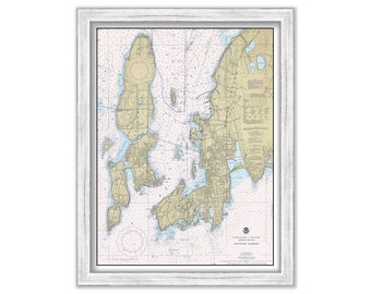
NEWPORT HARBOR, Rhode Island - 1981 Nautical Chart
$38.00
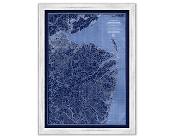
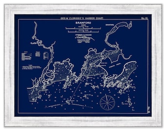
Branford, Connecticut - Blue Print - Nautical Chart by George W. Eldridge 0316BP
$44.00
BOSTON, Massachusetts - Map Poster Blueprint
$26.00
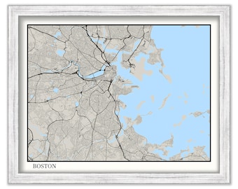
BOSTON, Massachusetts - Contemporary Map Poster
$26.00
EDGARTOWN Harbor, MARTHA'S VINEYARD, Massachusetts 1961 Nautical Chart Blueprint
$44.00
NORTH RIVER, Massachusetts - Minimalist Map on Blue
$26.00
NORTH RIVER, Massachusetts - Minimalist Map Blueprint
$26.00
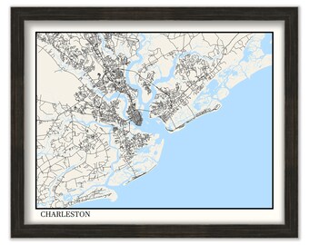
CHARLESTON, South Carolina - Minimalist Map on Blue
$26.00
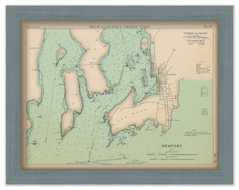
Newport Rhode Island - Nautical Chart by George W. Eldridge 1901 Colored Version
$50.00
CHARLESTON, South Carolina - Minimalist Map on Blue
$26.00
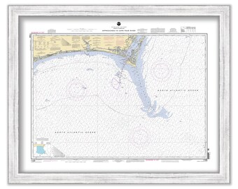
CAPE FEAR RIVER, North Carolina - 2004 Nautical Chart
$38.00
1
...
6
7
8
9
10
11
12
...
57
0 items in your cart
Close
Keep shopping! :)
Legal imprint
Close