Old Map Company
Shop
Blog
Gallery
Cart (
0
)
0
Old Map Company
Shop
Blog
Gallery
Contact Us
All items
LIGHTHOUSE PLANS
BIRD'S EYE VIEWS
IRELAND MAPS
NAUTICAL CHARTS
CONNECTICUT MAPS
CALIFORNIA MAPS
MAINE MAPS
MASSACHUSETTS MAPS
MICHIGAN MAPS
NEW HAMPSHIRE MAPS
NEW JERSEY MAPS
NEW YORK MAPS
PENNSYLVANIA MAPS
FLORIDA MAPS + CHARTS
RHODE ISLAND MAPS
PRINTS + POSTERS
WISCONSIN MAPS
VERMONT MAPS
MARYLAND MAPS
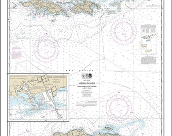
VIRGIN ISLANDS - St Thomas, St Croix, St John, Virgin Gorda, Tortola and Josh Van Dyke - 2013 Nautical Chart
$38.00
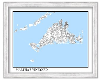
MARTHA'S VINEYARD, Massachusetts - Contemporary Map Poster
$44.00
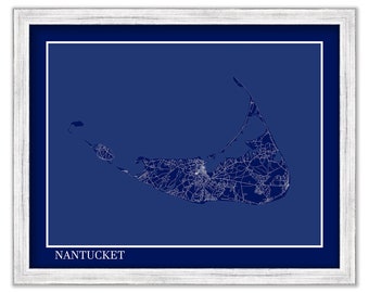
NANTUCKET, Massachusetts - Contemporary Map Poster Blueprint
$37.00
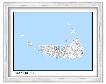
NANTUCKET, Massachusetts - Contemporary Map Poster
$26.00
DELAWARE BAY, Delaware and New Jersey - 2017 Nautical Chart Blueprint
$30.00
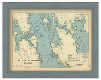
BATH to BOOTHBAY, Maine 1909 - Nautical Chart by Geo. Eldridge Colored Version
$44.00
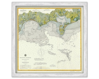
Hyannis Harbor, Massachusetts 1896 Nautical Chart
$44.00
TILLAMOOK BAY, Oregon - 2012 Nautical Chart Blueprint
$26.00
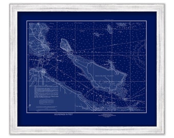
MACKINAC ISLAND, Michigan - 2014 Nautical Chart Blueprint
$37.00
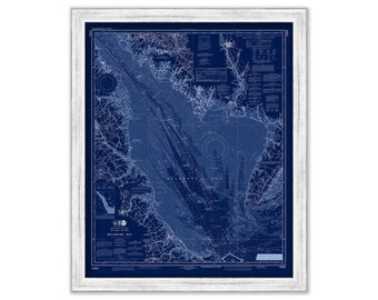
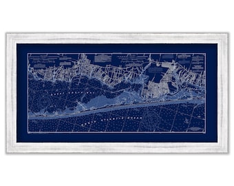
Great South Beach, Long Island, New York 2003 NOAA Chart Blueprint
$44.00
KEWEENAW WATERWAY, Michigan - 2013 Nautical Chart
$37.00
TAMPA BAY and St PETERSBURG, Florida - Nautical Chart Blueprint 2015
$38.00
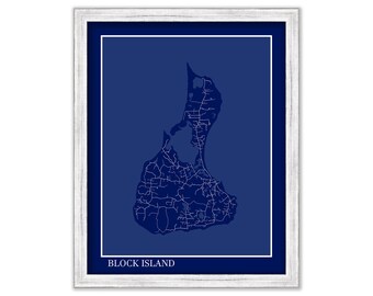
BLOCK ISLAND, Rhode Island - Contemporary Map Poster Blueprint
$26.00
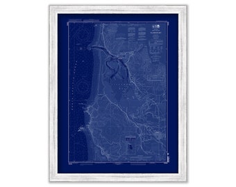
CHATHAM Harbor and PLEASANT BAY, Massachusetts - 1971 Nautical Chart Blueprint
$26.00
SAINT CLAIR RIVER, Michigan - 2018 Nautical Chart
$38.00
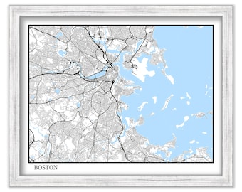
BOSTON, Massachusetts - Contemporary Map Poster
$26.00
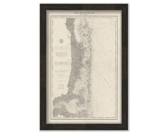
LONG BEACH ISLAND, New Jersey 1879 Nautical Chart
$44.00
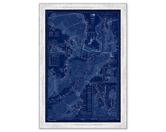
PAMLICO RIVER, North Carolina - 2012 Nautical Chart
$37.00
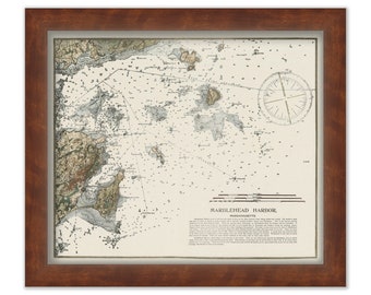
MARBLEHEAD HARBOR, Massachusetts Nautical Chart
$44.00
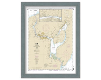
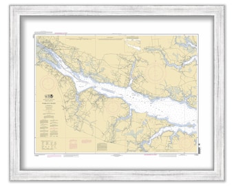
NIANTIC BAY and VICINITY, Connecticut - Nautical Chart published in 2011
$40.00
1
...
9
10
11
12
13
14
15
...
57
0 items in your cart
Close
Keep shopping! :)
Legal imprint
Close