Old Map Company
Shop
Blog
Gallery
Cart (
0
)
0
Old Map Company
Shop
Blog
Gallery
Contact Us
All items
LIGHTHOUSE PLANS
BIRD'S EYE VIEWS
IRELAND MAPS
NAUTICAL CHARTS
CONNECTICUT MAPS
CALIFORNIA MAPS
MAINE MAPS
MASSACHUSETTS MAPS
MICHIGAN MAPS
NEW HAMPSHIRE MAPS
NEW JERSEY MAPS
NEW YORK MAPS
PENNSYLVANIA MAPS
FLORIDA MAPS + CHARTS
RHODE ISLAND MAPS
PRINTS + POSTERS
WISCONSIN MAPS
VERMONT MAPS
MARYLAND MAPS
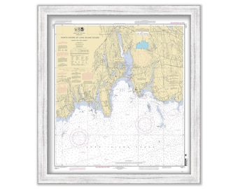
NIANTIC BAY and VICINITY, Connecticut - Nautical Chart published in 2011
$40.00
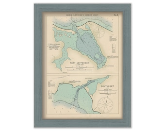
Port Jefferson, New York and Southport, Connecticut - Nautical Chart by George W. Eldridge Colored Version
$50.00
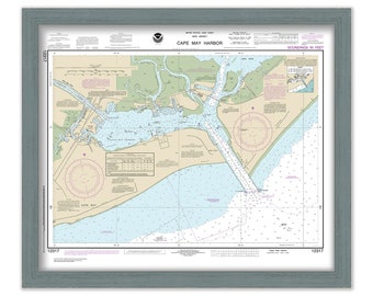
CAPE MAY HARBOR, New Jersey 2017 Nautical Chart
$30.00
PAMILICO SOUND, North Carolina - 2017 Nautical Chart
$37.00
DELAWARE RIVER, New Jersey - 1888 Topographical Map
$25.00
DELAWARE RIVER, New Jersey - 1888 Topographical Map Blueprint
$25.00
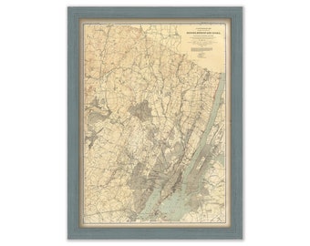
BERGEN, HUDSON and ESSEX Counties, New Jersey - 1888 Topographical Map
$38.00
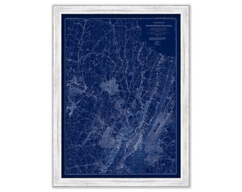
BERGEN, HUDSON and ESSEX Counties, New Jersey - 1888 Topographical Map Blueprint
$38.00
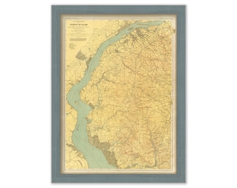
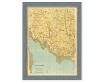
DELAWARE BAY SHORE, New Jersey - 1888 Topographical Map
$25.00
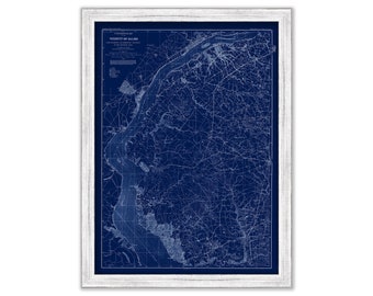
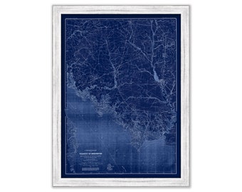
DELAWARE BAY SHORE, New Jersey - 1888 Topographical Map Blueprint
$25.00
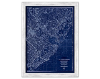
EGG HARBOR and VICINITY, New Jersey - 1888 Topographical Map Blueprint
$25.00
CAPE MAY, New Jersey - 1888 Topographical Map Blueprint
$25.00
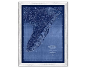
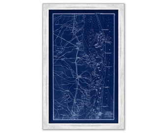
LONG BEACH ISLAND, New Jersey 1878 Blueprint Nautical Chart/Map
$25.00
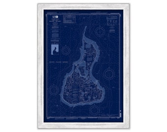
BLOCK ISLAND, Rhode Island - 2013 Nautical Chart Blueprint
$44.00
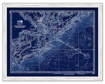
CHARLESTON HARBOR, South Carolina - Nautical Chart Blueprint 2015
$44.00
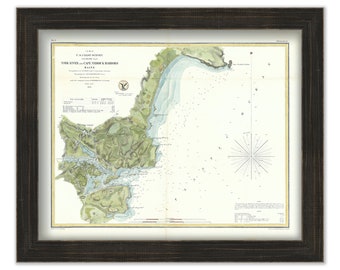
York River to Cape Neddick 1854 Colored Nautical Chart
$39.00
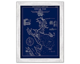
Wareham River, Massachusetts - Blue Print - Nautical Chart by George W. Eldridge 1901
$44.00
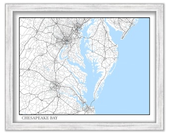
CHESAPEAKE BAY, Maryland/Virginia - Map Poster
$26.00
GALVESTON BAY, Texas - 1919 Nautical Chart
$26.00
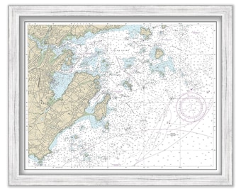
MARBLEHEAD HARBOR, Massachusetts - Nautical Chart 2013
$37.00
1
...
10
11
12
13
14
15
16
...
57
0 items in your cart
Close
Keep shopping! :)
Legal imprint
Close