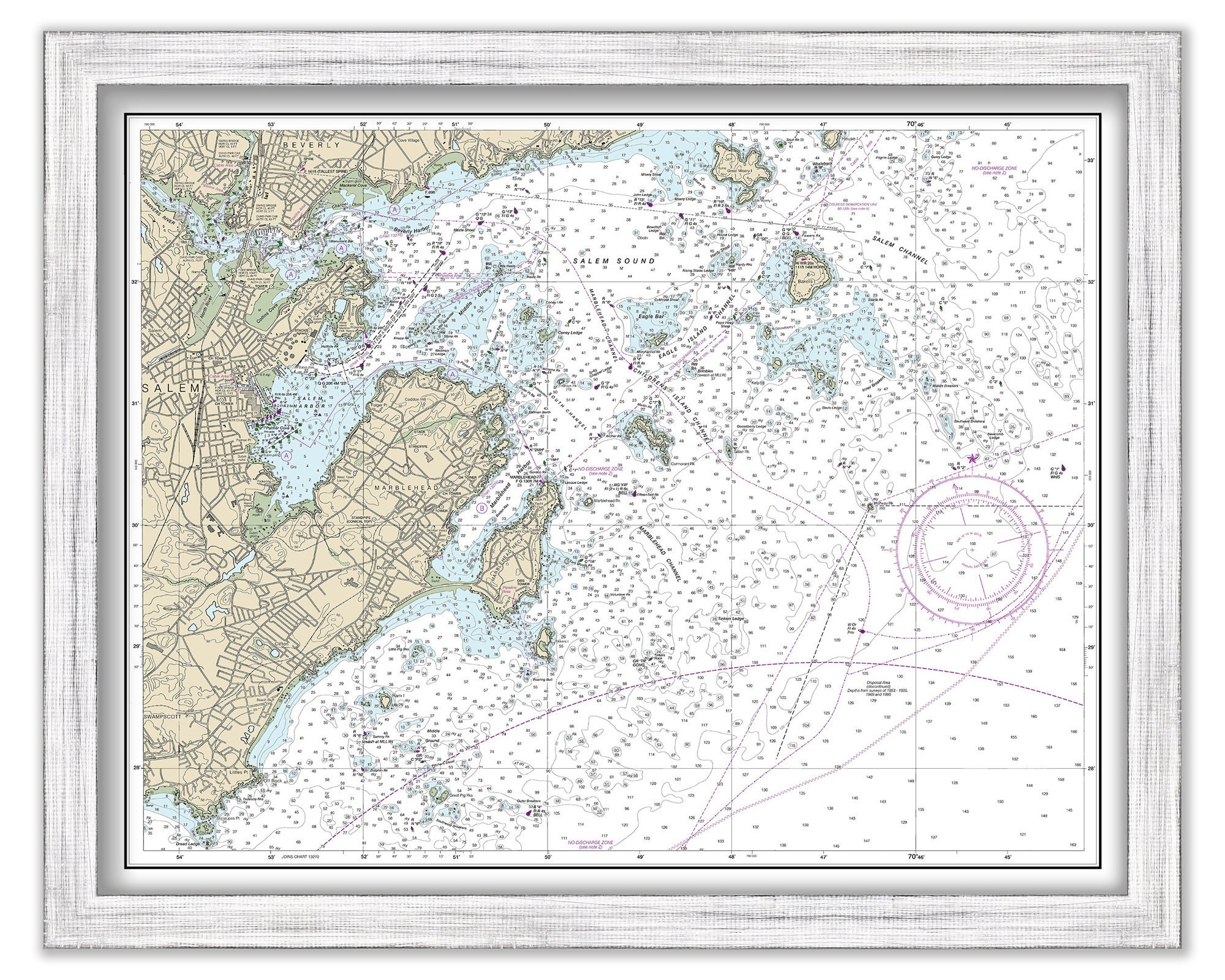
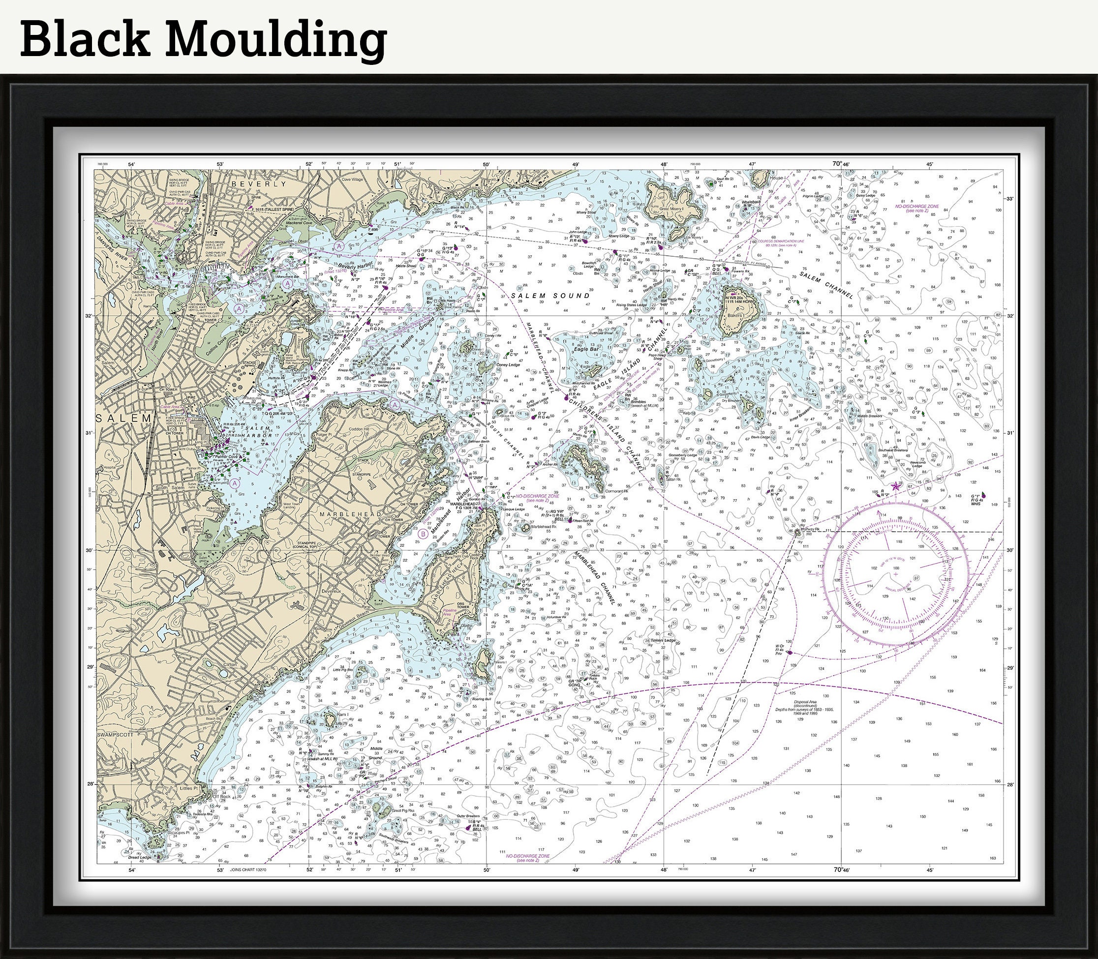
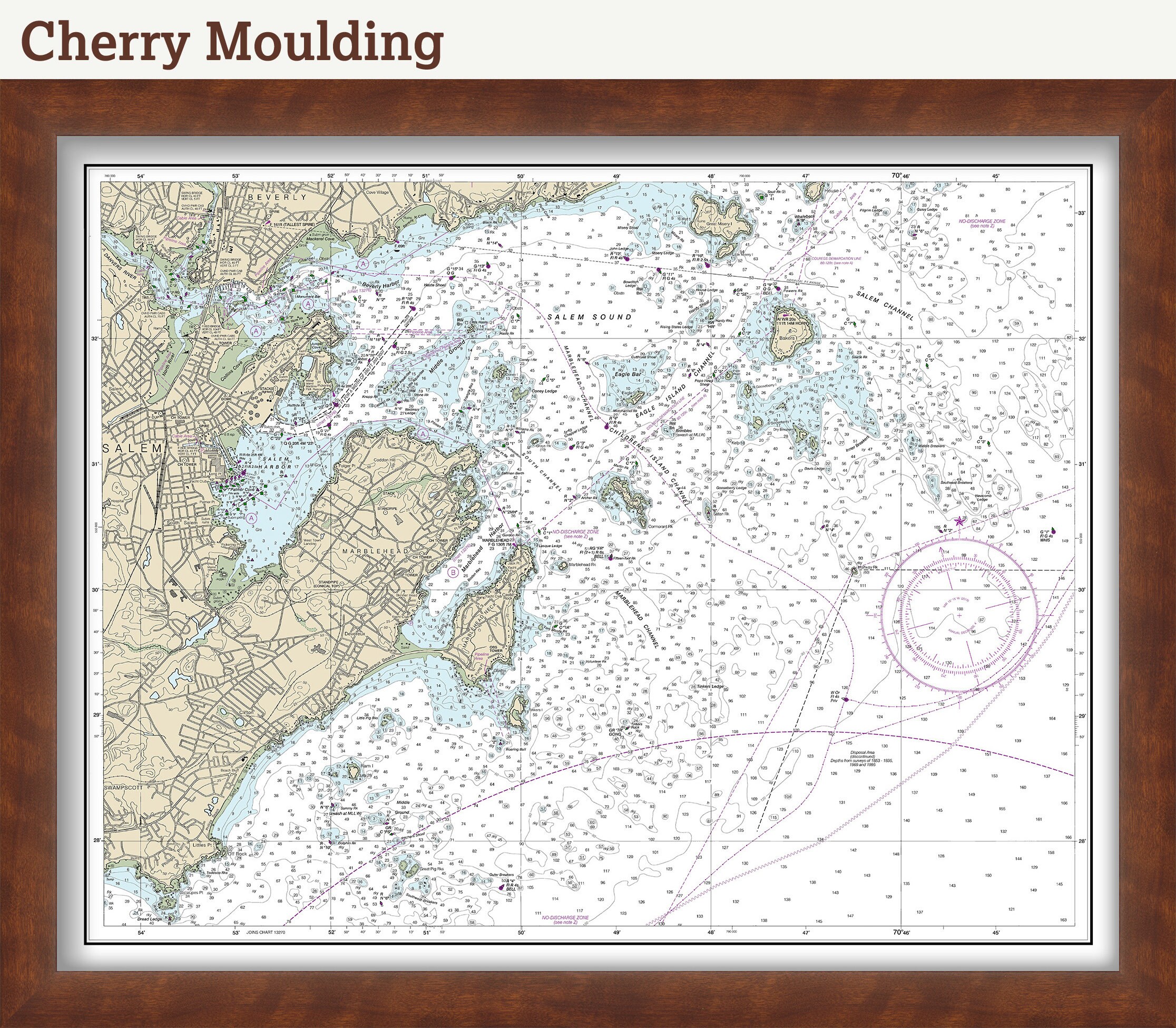
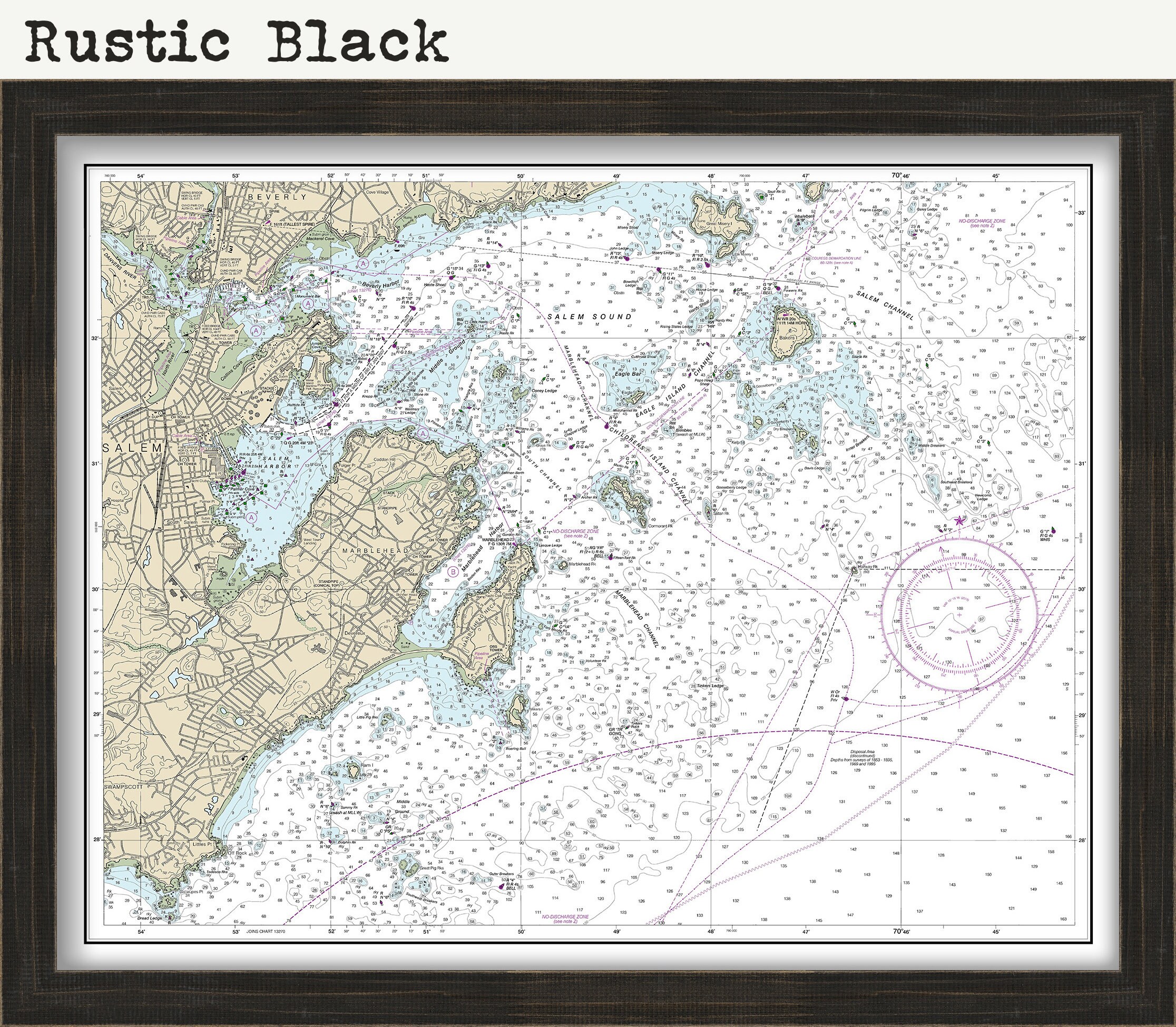
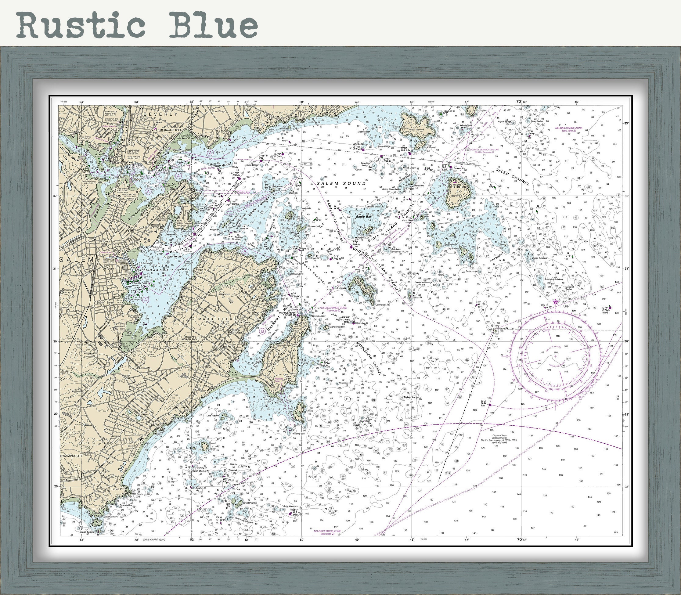
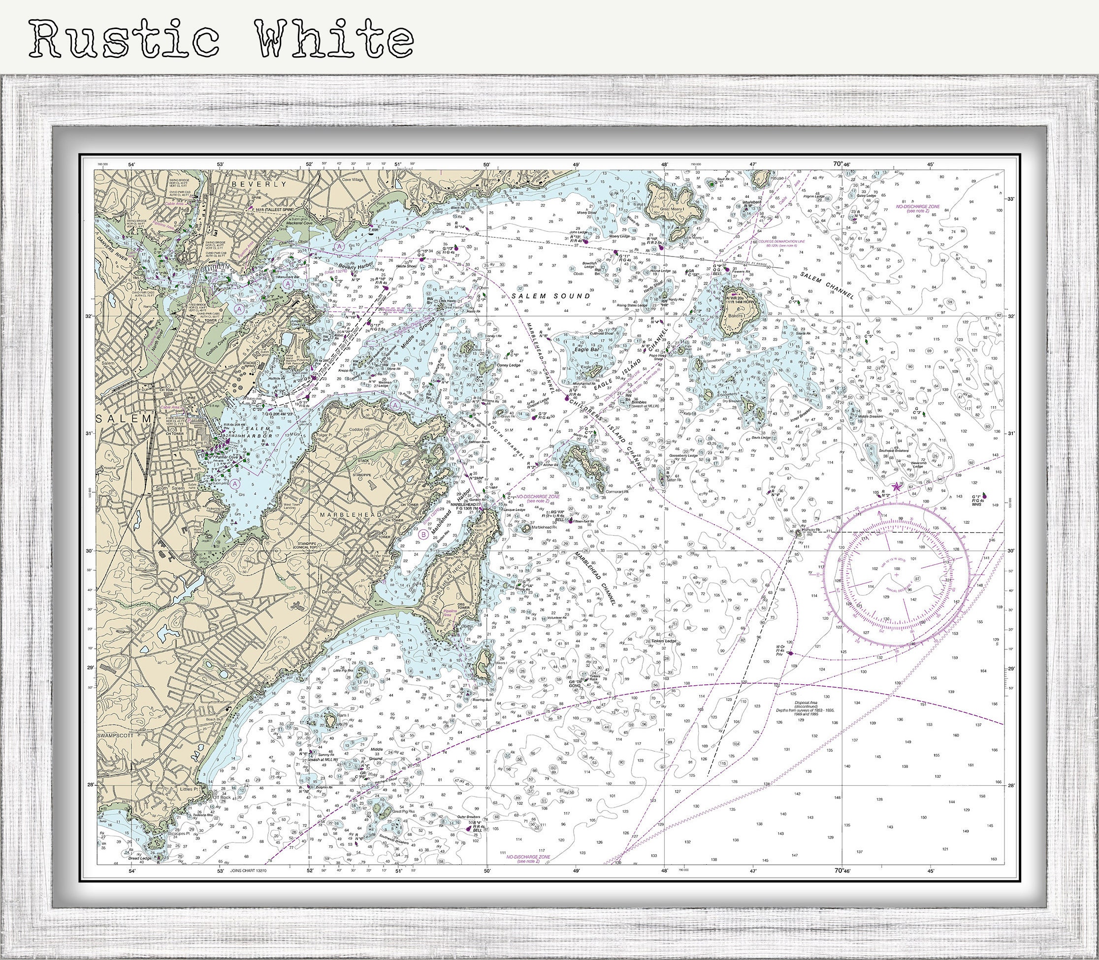
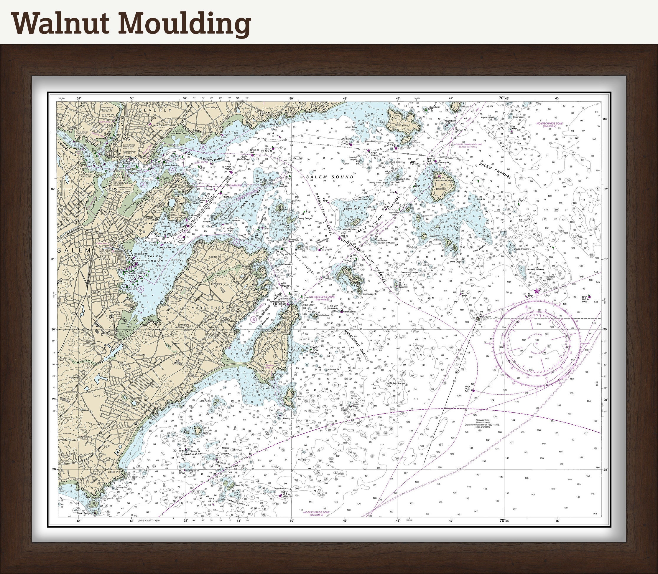
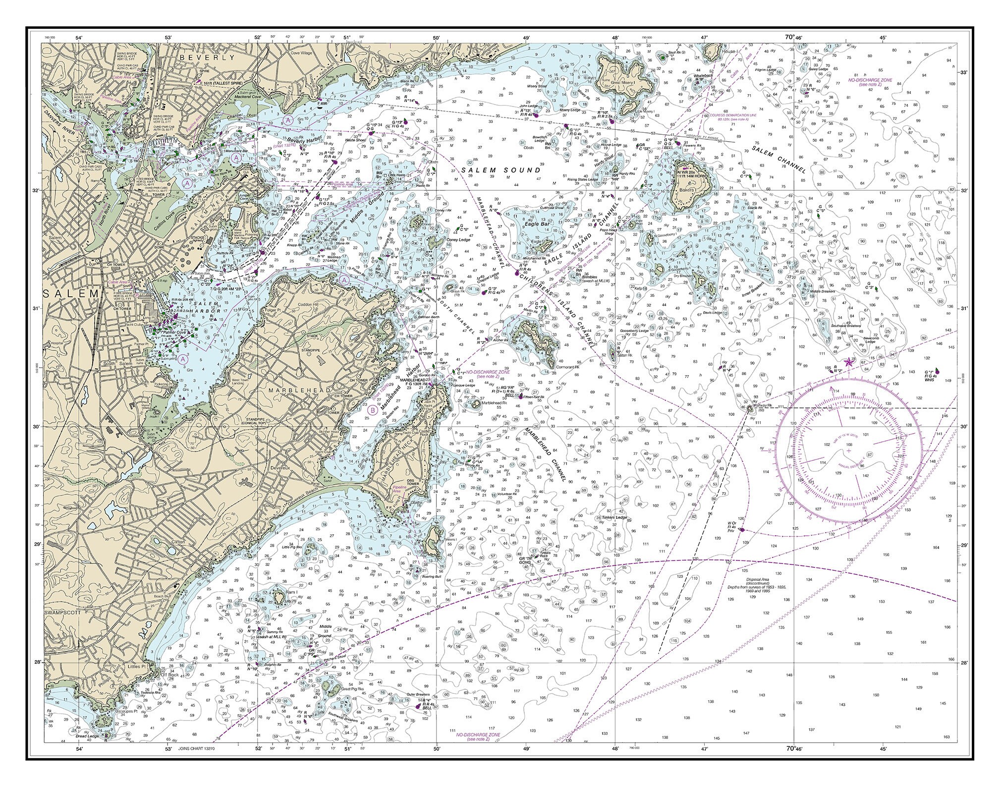
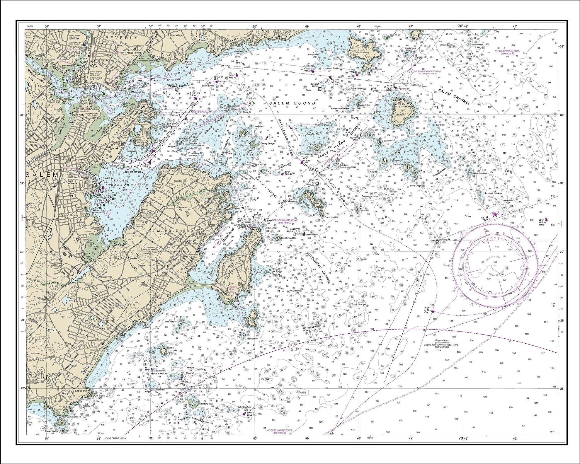
MARBLEHEAD HARBOR, Massachusetts - Nautical Chart 2013
$37.00
A Reproduction of a Nautical Chart of MARBLEHEAD HARBOR, Massachusetts - by NOAA originally published in 2013.
This image is printed on heavy matte fine art paper with archival inks.
Framing is available.
Framed replica maps include dry mounting, UV filtering glass, and your choice of six mouldings, wired and ready to hang upon delivery. All mouldings are approximately 1.5" wide. Please factor in an additional 3" to the listed size for framed items.
Custom sizes or larger sizes are available. If you are interested in a custom size or larger size, please let us know through the "ask a question" button in this listing.
Retailers who would like to carry our Maps and Prints, please contact us through the "ask a question" button in this listing, for information and discounts.
1331
Shipping from United States
Processing time
1-3 business days
Customs and import taxes
Buyers are responsible for any customs and import taxes that may apply. I'm not responsible for delays due to customs.
Payment Options
Returns & Exchanges
Returns & exchanges not accepted
But please contact me if you have problems with your order
I gladly accept cancellations
Request a cancellation within: 1 hours of purchase
Reviews (5)
Average:
Sep 6, 2025
Beautiful well packaged map in perfect condition. Great seller. Came very quickly to.
nancy
May 16, 2023
Gorgeous! Crisp print and great frame. This arrived very well packaged.
Rachel
Feb 17, 2021
The map was beautifully framed and the perfect gift for my sister.
stephanie7439
Jul 21, 2020
Patrick
Jun 2, 2020
Love this print and the frame is perfect! Shipped and arrived within one week and can’t wait to hang it.
Britt