Old Map Company
Shop
Blog
Gallery
Cart (
0
)
0
Old Map Company
Shop
Blog
Gallery
Contact Us
All items
LIGHTHOUSE PLANS
BIRD'S EYE VIEWS
IRELAND MAPS
NAUTICAL CHARTS
CONNECTICUT MAPS
CALIFORNIA MAPS
MAINE MAPS
MASSACHUSETTS MAPS
MICHIGAN MAPS
NEW HAMPSHIRE MAPS
NEW JERSEY MAPS
NEW YORK MAPS
PENNSYLVANIA MAPS
FLORIDA MAPS + CHARTS
RHODE ISLAND MAPS
PRINTS + POSTERS
WISCONSIN MAPS
VERMONT MAPS
MARYLAND MAPS
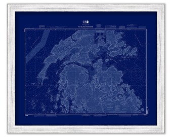
FOX ISLAND THOROFARE, Maine - 2011 Nautical Chart Blueprint
$44.00
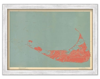
NANTUCKET, Massachusetts Map/Chart in Red 1896
$40.00
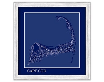
CAPE COD, Massachusetts - Contemporary Map Poster in Blue - Many Cape residents see Cape Cod as an Island, beginning and ending at the Canal
$42.00
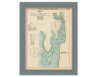
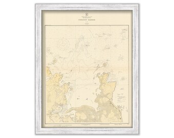
Warren, Rhode Island - Nautical Chart by George W. Eldridge Colored Version 0327
$50.00
BEAUFORT INLET, South Carolina - 1978 Nautical Chart
$25.00
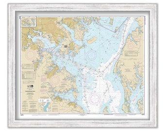
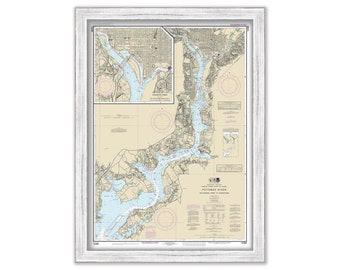
CHESAPEAKE BAY, Approaches to Baltimore Harbor, Maryland - 2014 Nautical Chart
$38.00
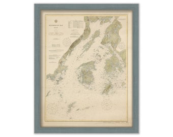
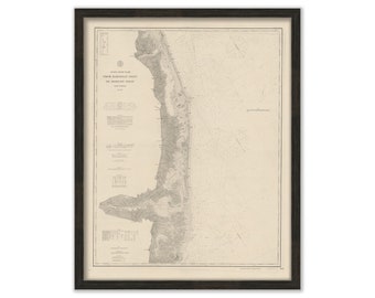
PENOBSOT BAY, Maine - 1916 Nautical Chart
$37.00
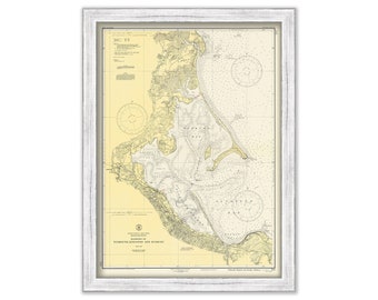
PLEASANT BAY and CHATHAM Harbor, Massachusetts - 1902 Blueprint Nautical Chart
$38.00
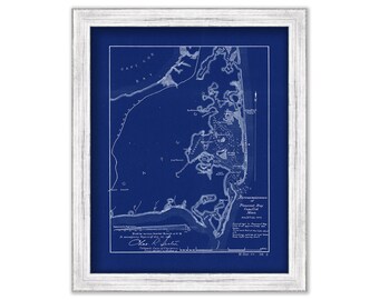
BARNEGAT Inlet to ABSECON Inlet, New Jersey 1879 Nautical Chart
$44.00
PLYMOUTH, KINGSTON and DUXBURY Harbors, Massachusetts - 1946 Nautical Chart
$44.00
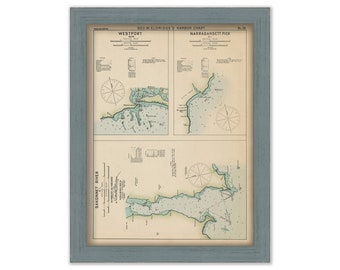
Westport, Narragansett Pier, & Sakonnet river - Nautical Chart by George W. Eldridge Colored Version 0332
$50.00
Rehoboth Beach, Bethany Beach and Fenwick Island, Delaware - 1933 Nautical Chart Blueprint
$35.00
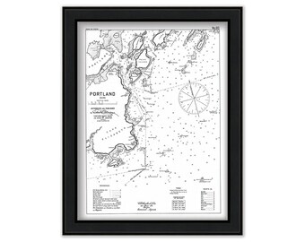
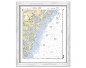
Portland Harbor, Maine 1909 - Nautical Chart by Geo. Eldridge-Black+White Version
$50.00
WASHINGTON HARBOR, Washington D. C. - Nautical Chart published in 2015
$42.00
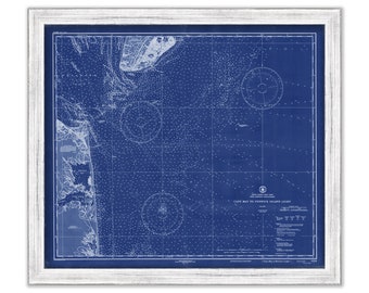
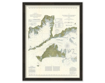
Muskeget Channel to Buzzard's Bay, Massachusetts 1860 Nautical Chart
$50.00
Cohasset Harbor, Massachusetts with MINOTS LIGHT in RED - 1926 Nautical Chart
$44.00
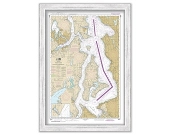
PUGET SOUND-Shilshole to Commencement Bay, Washington - 2015 Nautical Chart
$42.00
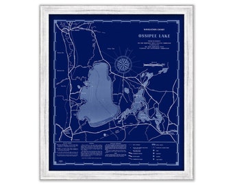
LAKE OSSIPEE, New Hampshire 1958 Nautical Chart Blueprint
$44.00
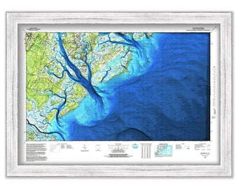
TYBEE ISLAND to DOBOY Sound, Georgia - 2012 Nautical Chart
$26.00
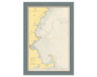
LIGHTHOUSES from Cape Elizabeth to Cape Cod, Maine/New Hampshire/Massachusetts - 1957 Nautical Chart - LIGHTHOUSES shown in RED
$26.00
1
...
7
8
9
10
11
12
13
...
57
0 items in your cart
Close
Keep shopping! :)
Legal imprint
Close