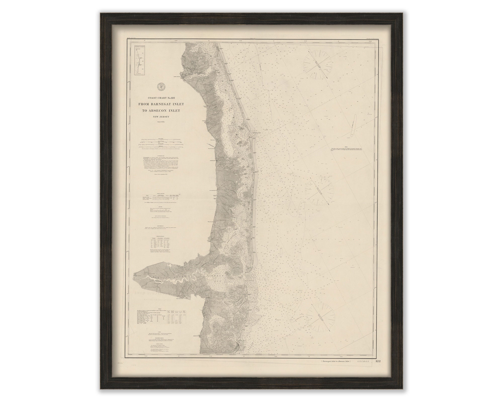
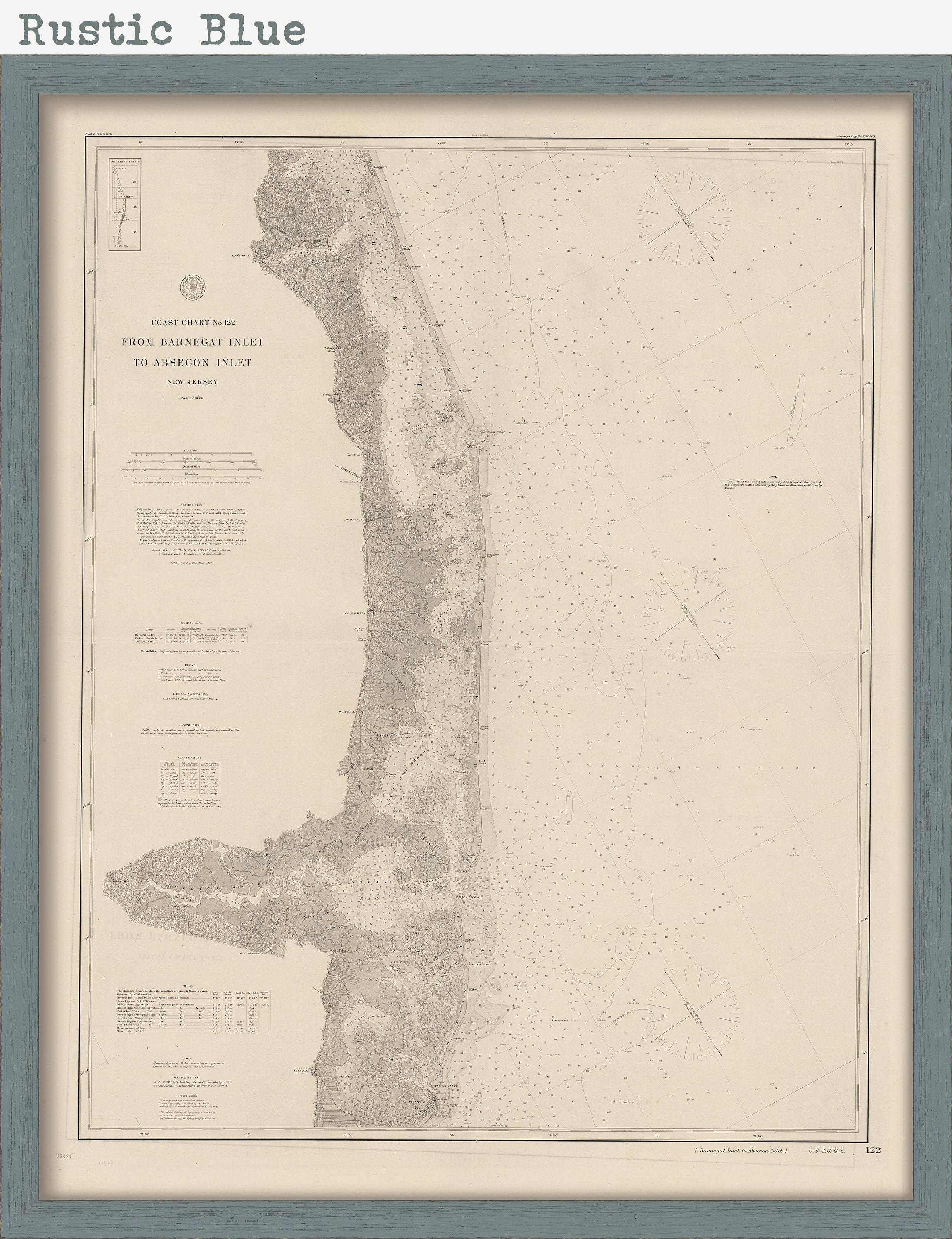
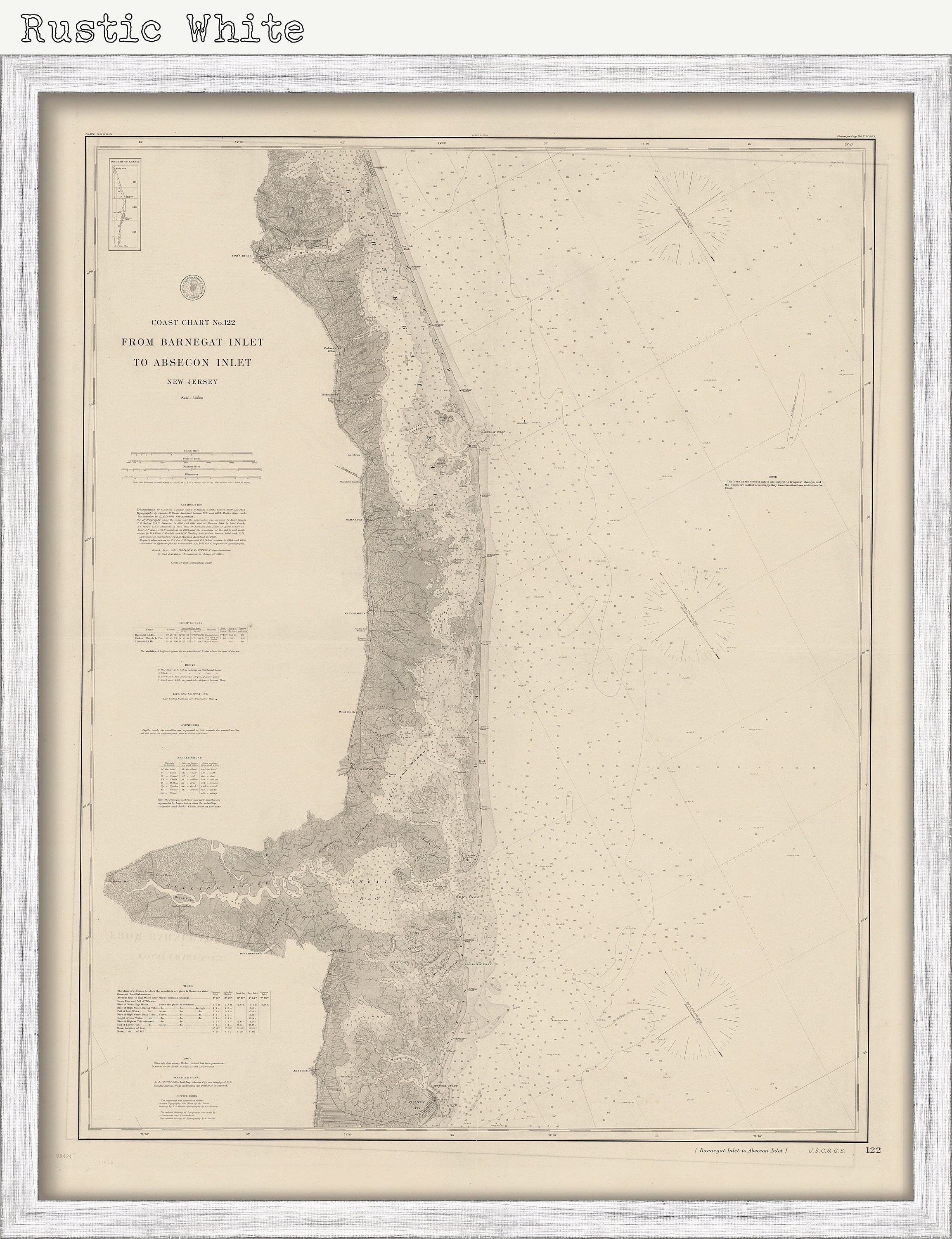
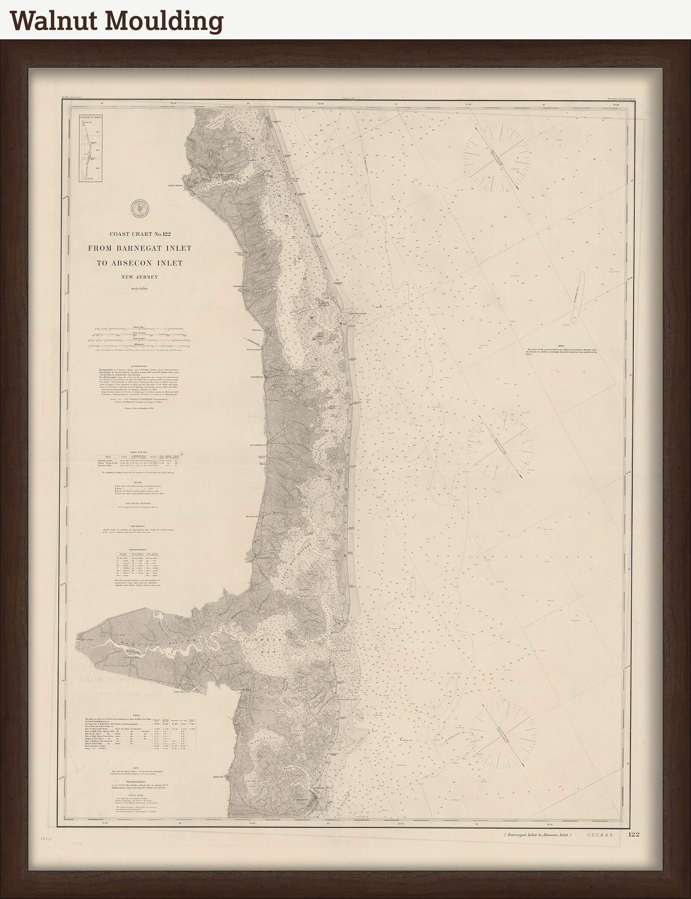
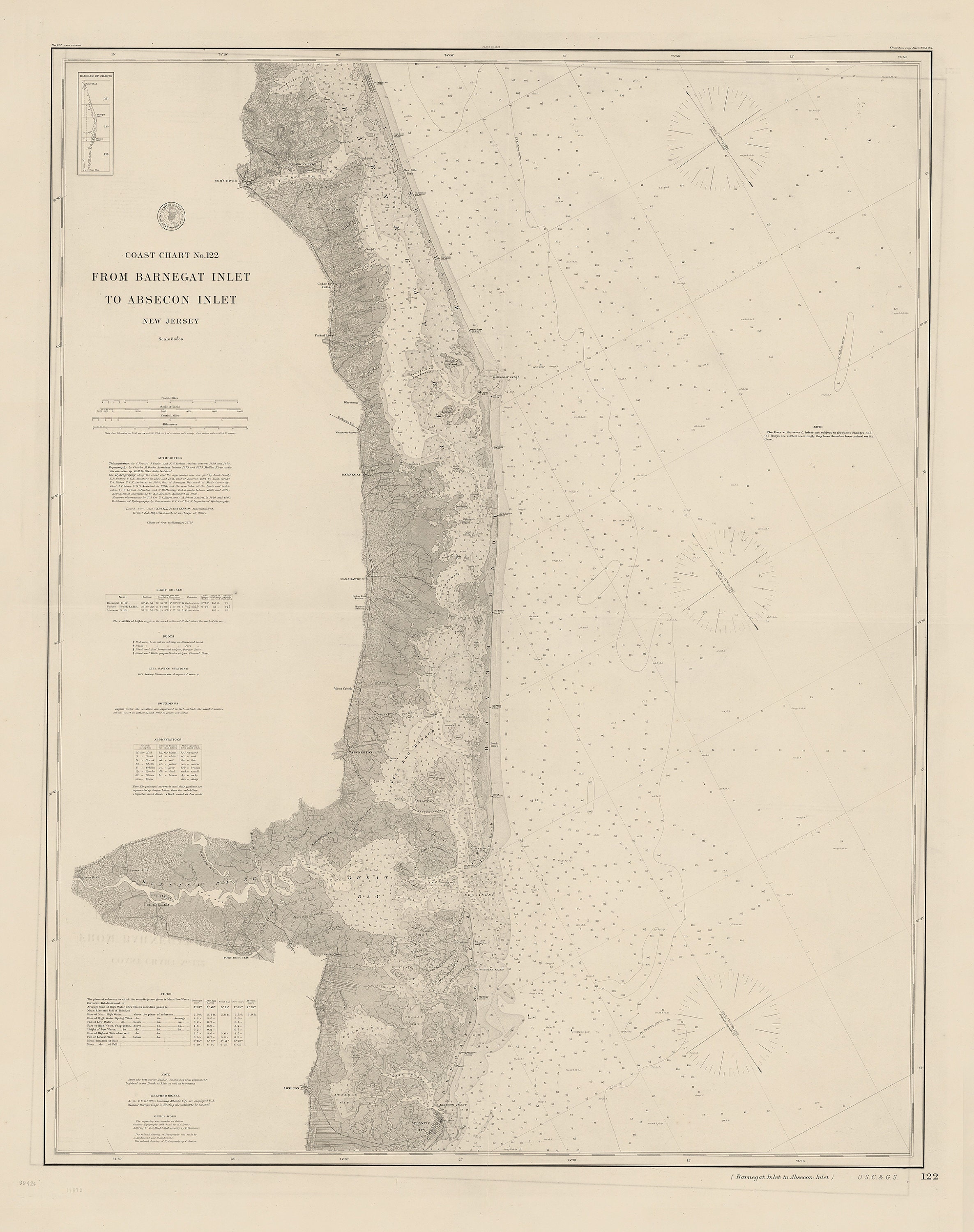
BARNEGAT Inlet to ABSECON Inlet, New Jersey 1879 Nautical Chart
$44.00
A Replica of a Nautical Chart of BARNEGAT INLET to ABSECON INLET, New Jersey published in 1879 by The U. S. Coast and Geodetic Survey. Barnegat Inlet is a small inlet connecting the Barnegat Bay with the Atlantic Ocean in Ocean County, New Jersey. It separates Island Beach State Park and the Barnegat Peninsula from Long Beach Island. The Barnegat Lighthouse sits at the northern end of Long Beach Island along the inlet.
This Chart is printed on heavy matte fine art paper with archival inks.
CUSTOM FRAMING IS AVAILABLE
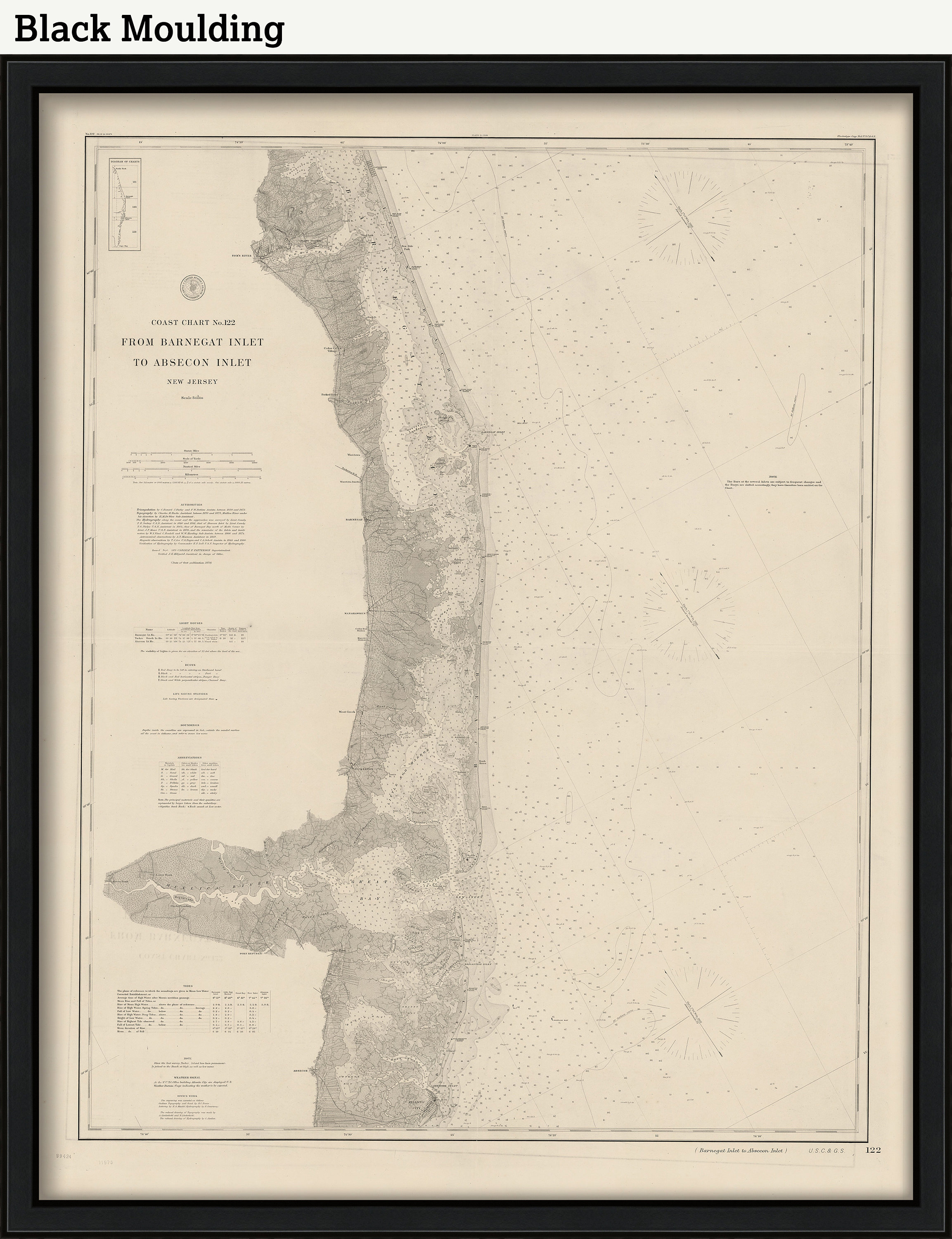
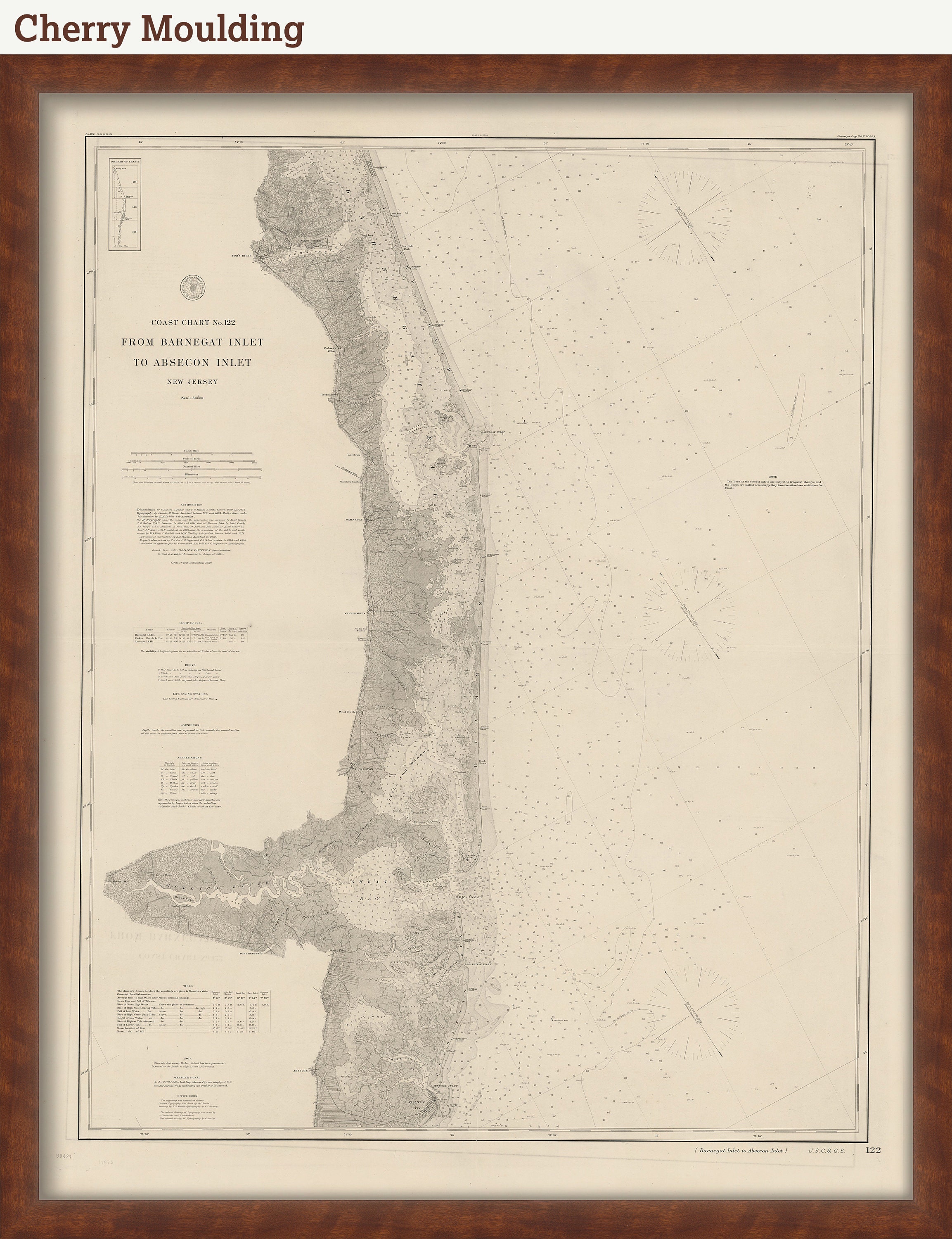
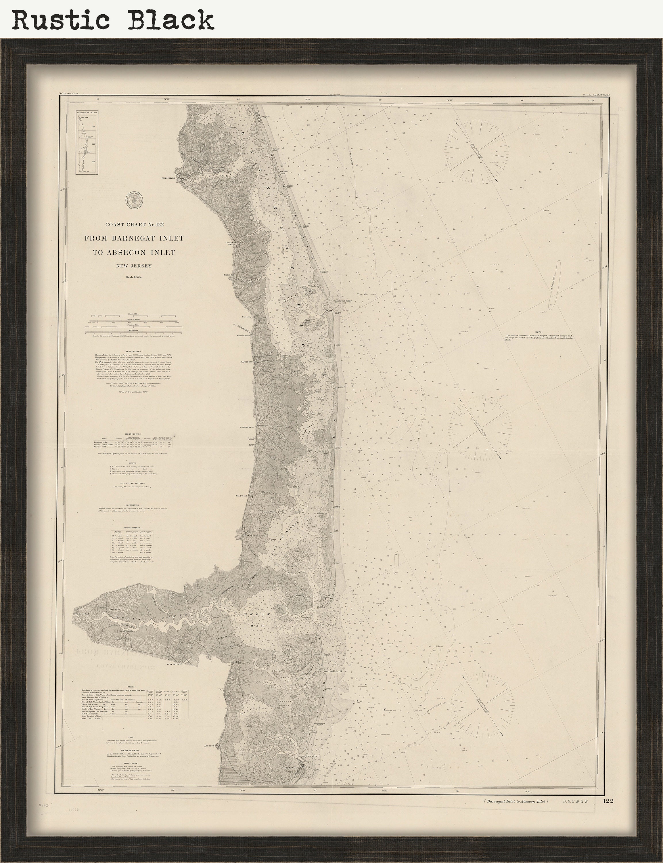
Framed maps include drymounting, UV filtering glass, and your choice of six mouldings, wired and ready to hang upon delivery. All mouldings are approximately 1.5" wide. Please factor in an additional 3" to the listed size for framed items.
Custom sizes are available. If you are interested in a custom size, please let us know through the "ask a question" button in this listing.
Retailers who would like to carry our Maps, please contact us through the "ask a question" button in this listing, for information and discounts.
On February 10, 1807, President Thomas Jefferson signed "An Act to provide for surveying the coasts of the United States. "President Richard Nixon formed NOAA in 1970, bringing C&GS into the new scientific agency. Today, the Office of Coast Survey continues its traditional commitment to employing the highest levels of science and technology to improve marine safety and to tackle the new challenges of the 21st century.
1272
Shipping from United States
Processing time
1-3 business days
Customs and import taxes
Buyers are responsible for any customs and import taxes that may apply. I'm not responsible for delays due to customs.
