Old Map Company
Shop
Blog
Gallery
Cart (
0
)
0
Old Map Company
Shop
Blog
Gallery
Contact Us
All items
LIGHTHOUSE PLANS
BIRD'S EYE VIEWS
IRELAND MAPS
NAUTICAL CHARTS
CONNECTICUT MAPS
CALIFORNIA MAPS
MAINE MAPS
MASSACHUSETTS MAPS
MICHIGAN MAPS
NEW HAMPSHIRE MAPS
NEW JERSEY MAPS
NEW YORK MAPS
PENNSYLVANIA MAPS
FLORIDA MAPS + CHARTS
RHODE ISLAND MAPS
PRINTS + POSTERS
WISCONSIN MAPS
VERMONT MAPS
MARYLAND MAPS
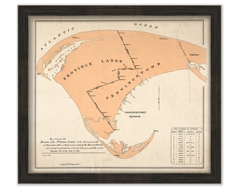
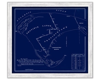
PROVINCETOWN, Bounds of the Province Lands, Massachusetts - Published in 1893
$30.00
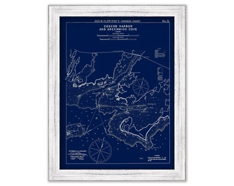
Cos Cob Harbor & Greenwich Cove, Connecticut - Blue Print - Nautical Chart by George W. Eldridge 1901
$44.00
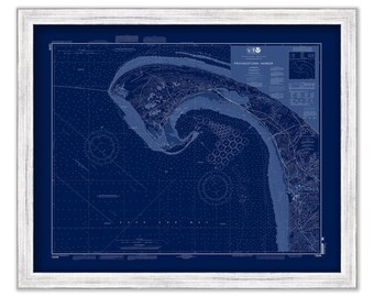
PROVINCETOWN HARBOR and TRURO, Massachusetts - Nautical Chart Blueprint 2007
$44.00
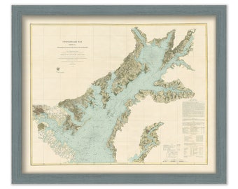
CHESAPEAKE BAY Nautical Chart - Northern Section - 1852
$44.00
PROVINCETOWN, Bounds of the Province Lands, Massachusetts - Blueprint - Published in 1893
$44.00
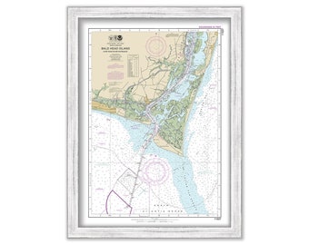
BALD HEAD ISLAND, Cape Fear River Entrance - North Carolina - 2018 Nautical Chart
$37.00
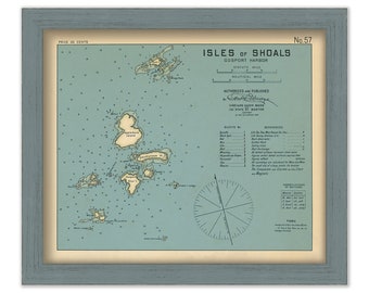
ISLE of SHOALS, New Hampshire and Maine 1909 - Nautical Chart by Geo. Eldridge Colored Version
$44.00
Calais to West Quoddy Head, Maine - Nautical Chart published in 1985
$38.00
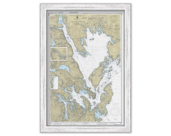
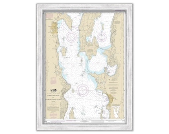
LAKE CHAMPLAIN, Vermont/New York and BURLINGTON Vermont - Nautical Chart 2017
$44.00
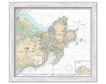
Ipswich Bay to Gloucester Harbor; Rockport Harbor, Massachusetts 2013 - Nautical Chart
$44.00
Vineyard Sound Lt Ship to Chatham-Chart C- by George W. Eldridge 1924
$42.00
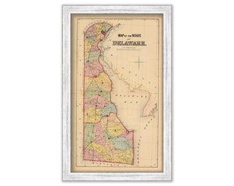
STATE of DELAWARE - 1868 Map
$34.00
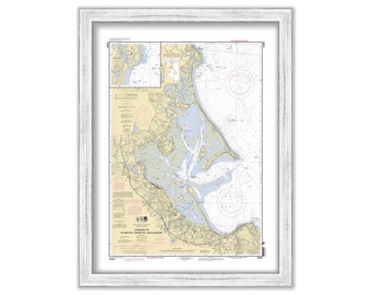
PLYMOUTH, KINGSTON and DUXBURY Harbors, Massachusetts - 2010 Nautical Chart
$37.00
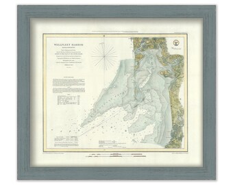
Wellfleet Harbor, Massachusetts 1852 Nautical Chart
$44.00
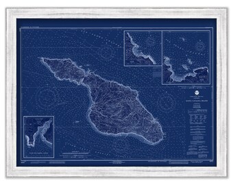
SANTA CATALINA ISLAND, California - 1992 Nautical Chart Blueprint
$40.00
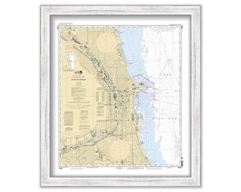
CHICAGO HARBOR, Illinois - 2011 Nautical Chart
$26.00
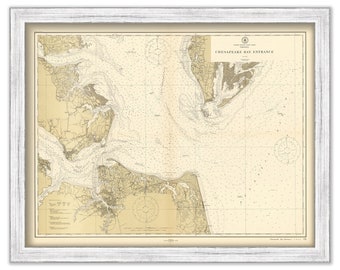
CHESAPEAKE BAY ENTRANCE, Virginia - 1911 Nautical Chart
$26.00
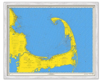
CAPE COD BAY, Massachusetts - 1968 Nautical Chart in Blue
$44.00
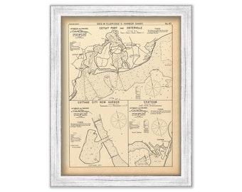
Cotuit Port, Osterville, Chatham and Cottage City, Massachusetts - Nautical Chart by George W. Eldridge 1901
$44.00
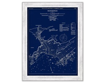
Mamaroneck, New York - Blue Print - Nautical Chart by George W. Eldridge 1901
$44.00
1
2
3
4
5
6
7
8
...
57
0 items in your cart
Close
Keep shopping! :)
Legal imprint
Close