Old Map Company
Shop
Blog
Gallery
Cart (
0
)
0
Old Map Company
Shop
Blog
Gallery
Contact Us
All items
LIGHTHOUSE PLANS
BIRD'S EYE VIEWS
IRELAND MAPS
NAUTICAL CHARTS
CONNECTICUT MAPS
CALIFORNIA MAPS
MAINE MAPS
MASSACHUSETTS MAPS
MICHIGAN MAPS
NEW HAMPSHIRE MAPS
NEW JERSEY MAPS
NEW YORK MAPS
PENNSYLVANIA MAPS
FLORIDA MAPS + CHARTS
RHODE ISLAND MAPS
PRINTS + POSTERS
WISCONSIN MAPS
VERMONT MAPS
MARYLAND MAPS
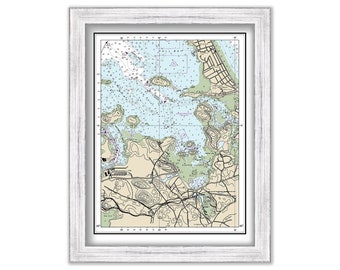
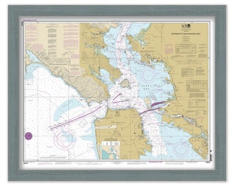
HINGHAM HARBOR, Massachusetts Nautical Chart - NOAA - 2019
$38.00
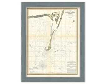
MONOMOY HARBOR, Chatham, Massachusetts 1854 Nautical Chart
$50.00
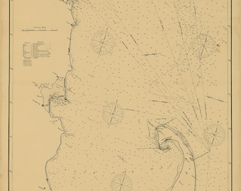
BOOTHBAY HARBOR, Maine - 1863 Nautical Chart Blueprint
$26.00
OSSABAW and St CATHERINE SOUND, Georgia - 2011 Blueprint Nautical Chart
$38.00
St Helena Sound to Savanannah River 2013 Blueprint Nautical Chart
$38.00
Kennebunkport and Cape Porpoise, Maine - Nautical Chart by George W. Eldridge 1909
$50.00
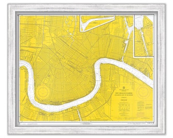
NEW ORLEANS, Louisiana - 1970 Nautical Chart
$38.00
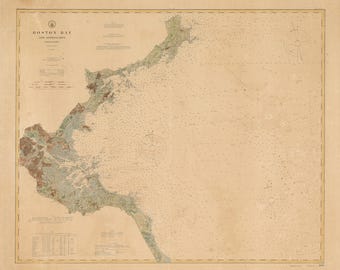
BOSTON BAY, Massachusetts - 1905 Nautical Chart
$37.00
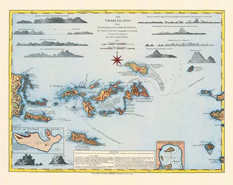
VIRGIN ISLANDS - St Thomas, St Croix, St John, Virgin Gorda, Tortola and Josh Van Dyke - 1775 Nautical Chart by Thomas Jefferys - COLORED
$36.00
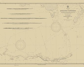
Antarctic Continent by the U.S. Exploring Expedition, 1838–1842
$44.00
SAN FRANCISCO HARBOR, California - Nautical Chart published in 2013
$37.00
Cape Cod to Cape Ann - Nautical Chart - George W. Eldridge - Chatham to Boston Chart D - 1902
$37.00
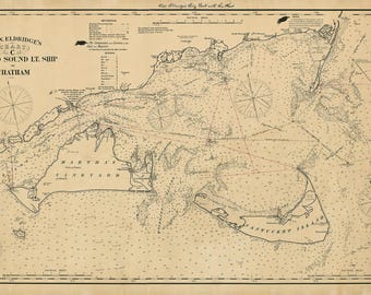
Vineyard Sound Light Ship to Chatham - Chart C - by George W. Eldridge published in 1902
$39.00
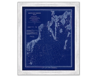
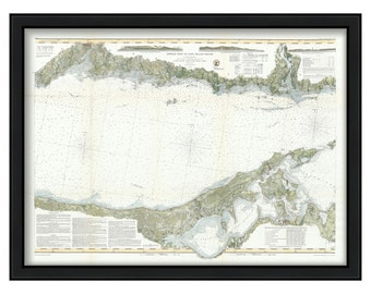
Long Island Sound-Middle Sheet 1855 Nautical Chart
$56.00
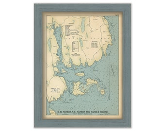
MOUNT DESERT ISLAND, Maine 1909 - Nautical Chart by Geo. Eldridge Colored Version
$44.00
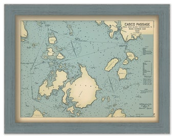
CASCO PASSAGE, Mount Desert Island, Maine 1909 - Nautical Chart by Geo. Eldridge Colored Version
$44.00
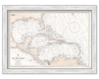
CARIBBEAN and WEST INDIES Nautical Chart 1966
$42.00
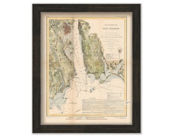
NEW LONDON Harbor, Connecticut - 1848 Colored Nautical Chart
$48.00
BOCA GRANDE, Florida 1918 Nautical Chart
$26.00
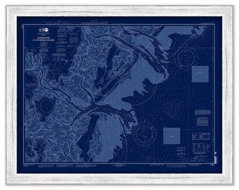
Calais to West Quoddy Head, Maine - Nautical Chart published in 1985
$38.00
1
...
29
30
31
32
33
34
35
...
57
0 items in your cart
Close
Keep shopping! :)
Legal imprint
Close