Old Map Company
Shop
Blog
Gallery
Cart (
0
)
0
Old Map Company
Shop
Blog
Gallery
Contact Us
All items
LIGHTHOUSE PLANS
BIRD'S EYE VIEWS
IRELAND MAPS
NAUTICAL CHARTS
CONNECTICUT MAPS
CALIFORNIA MAPS
MAINE MAPS
MASSACHUSETTS MAPS
MICHIGAN MAPS
NEW HAMPSHIRE MAPS
NEW JERSEY MAPS
NEW YORK MAPS
PENNSYLVANIA MAPS
FLORIDA MAPS + CHARTS
RHODE ISLAND MAPS
PRINTS + POSTERS
WISCONSIN MAPS
VERMONT MAPS
MARYLAND MAPS
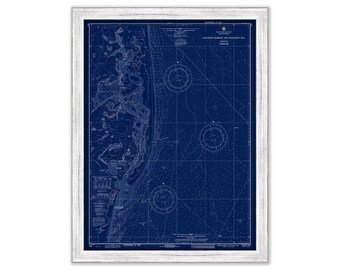
CHATHAM Harbor and PLEASANT BAY, Massachusetts - Nautical Chart Blueprint 1971
$44.00
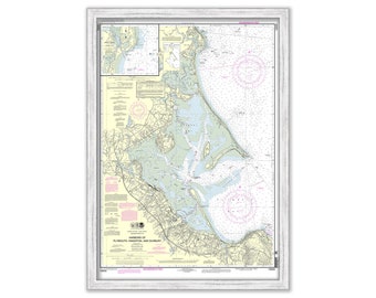
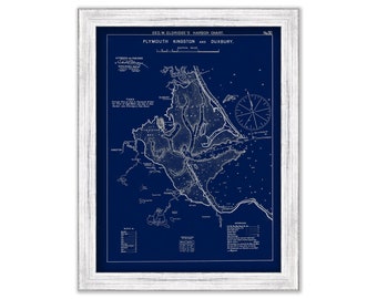
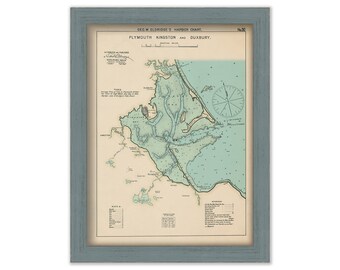
PLYMOUTH, KINGSTON and DUXBURY Harbors, Massachusetts - 2010 Nautical Chart
$44.00
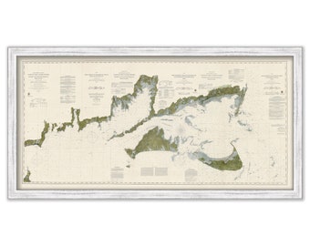
MONOMOY to BLOCK ISLAND 1860 Survey Chart by The U. S. Coast and Geodetic Survey
$53.00
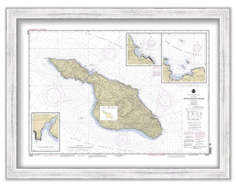
SANTA CATALINA ISLAND, California - 2004 Nautical Chart
$25.00
NARRAGANSETT BAY, Rhode Island - Nautical Chart by United States Coast and Geodetic Survey 1873
$42.00
Cos Cob Harbor & Greenwich Cove, Connecticut - Nautical Chart by George W. Eldridge 1901 Colored Version
$50.00
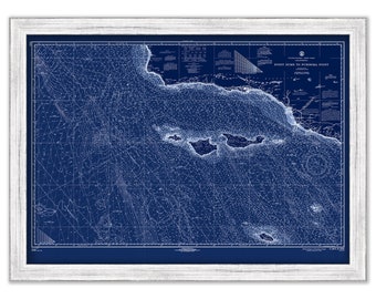
Martha's Vineyard to Block Island - 1990 Nautical Chart
$37.00
Island of CUBA, 1855 Map
$44.00
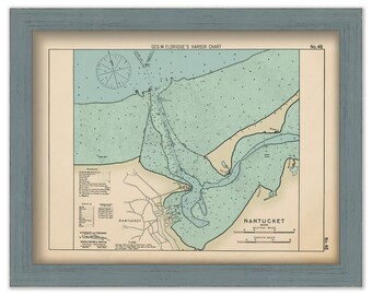
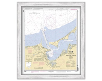
Nantucket Harbor - Nautical Chart by George W. Eldridge Colored Version 0343
$50.00
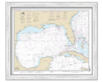
GULF of MEXICO - 2013 Nautical Chart
$44.00
Plymouth, Kingston, & Duxbury, MA - Blue Print - Nautical Chart by George W. Eldridge 1901
$37.00
Santa Cruz, Santa Rosa, San Miguell, San Nicolas, Santa Barbara and Anacapa Islands, California - 1967 Nautical Chart Blueprint
$40.00
Cape Cod, Martha's Vineyard and Nantucket, Massachusetts - Contemporary Map Poster
$38.00
HYANNIS HARBOR, Massachusetts 1942 Nautical Chart
$44.00
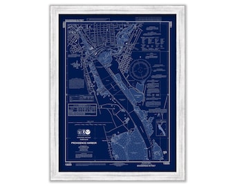
PROVIDENCE HARBOR, Rhode Island - Nautical Chart published in 2016
$38.00
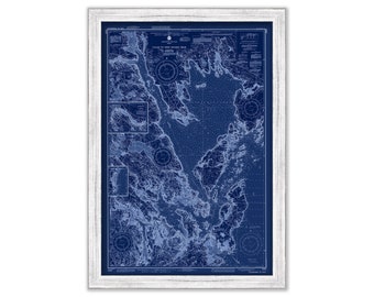
Calais to West Quoddy Head, Maine - Nautical Chart Blueprint published in 1985
$38.00
PROVIDENCE HARBOR, Rhode Island - Nautical Chart Blueprint published in 2016
$38.00
Plymouth, Kingston and Duxbury 1901 - Nautical Chart by Geo. Eldridge 0346
$50.00
NANTUCKET HARBOR, Massachusetts - Nautical Chart published in 2011
$38.00
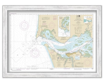
COLUMBIA RIVER, Washington/Oregon - 2012 Nautical Chart
$38.00
1
...
31
32
33
34
35
36
37
...
57
0 items in your cart
Close
Keep shopping! :)
Legal imprint
Close