Old Map Company
Shop
Blog
Gallery
Cart (
0
)
0
Old Map Company
Shop
Blog
Gallery
Contact Us
All items
LIGHTHOUSE PLANS
BIRD'S EYE VIEWS
IRELAND MAPS
NAUTICAL CHARTS
CONNECTICUT MAPS
CALIFORNIA MAPS
MAINE MAPS
MASSACHUSETTS MAPS
MICHIGAN MAPS
NEW HAMPSHIRE MAPS
NEW JERSEY MAPS
NEW YORK MAPS
PENNSYLVANIA MAPS
FLORIDA MAPS + CHARTS
RHODE ISLAND MAPS
PRINTS + POSTERS
WISCONSIN MAPS
VERMONT MAPS
MARYLAND MAPS
CAPE COD BAY, Massachusetts - 1996 Nautical Chart
$44.00
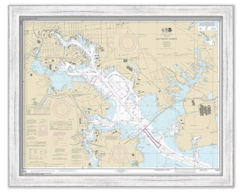
BALTIMORE HARBOR, Maryland 2018 Nautical Chart
$30.00
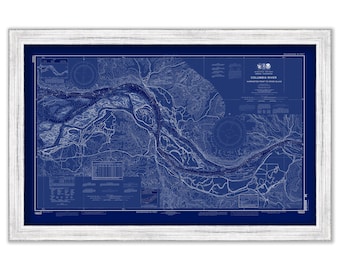
COLUMBIA RIVER - Harrington Point to Crims Island, Washington/Oregon - 2013 Nautical Chart Blueprint
$26.00
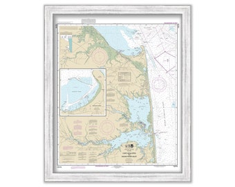
FALMOUTH, POPPONESSET and OSTERVILLE, Massachusetts - 2001 Nautical Chart
$38.00
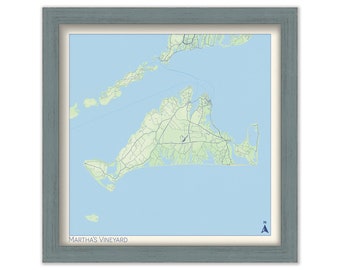
MARTHA'S VINEYARD, Massachusetts - Minimalist Map
$24.00
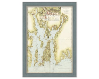
NARRAGANSETT BAY, Rhode Island - Nautical Chart by Des Barre 1776
$25.00
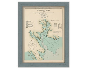
Wareham River, Massachusetts - Nautical Chart by George W. Eldridge Colored Version
$50.00
PORTLAND HARBOR, Maine - Nautical Chart 2018
$44.00
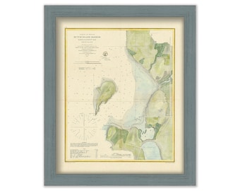
DUTCH ISLAND HARBOR, Narragansett Bay, Rhode Island - Nautical Chart by United States Coast and Geodetic Survey 1862
$26.00
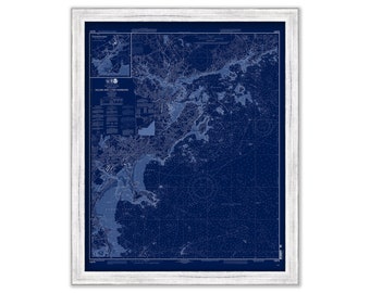
MARBLEHEAD, SALEM and MANCHESTER Harbors, Massachusetts - Nautical Chart Blueprint 2008
$44.00
REHOBOTH BEACH, Delaware - 2018 Nautical Chart
$37.00
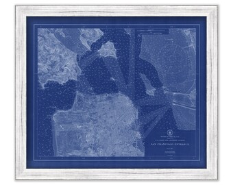
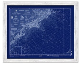
SAN FRANCISCO BAY, California - Nautical Chart Blueprint published in 1915
$26.00
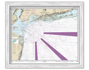
APPROACHES to NEW YORK - Nautical Chart published in 2016
$26.00
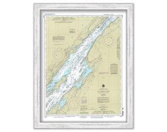
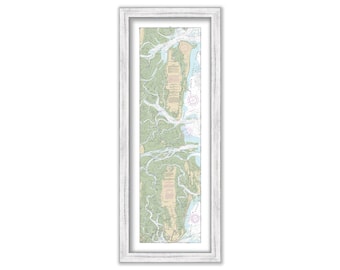
SAINT LAWRENCE RIVER, Holmes Point to Deer Island, New York - 1993 Nautical Chart
$38.00
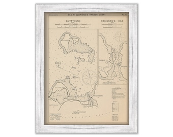
CUTTYHUNK & ROBERTSON'S HOLE, Massachusetts - Nautical Chart by George W. Eldridge 1901
$50.00
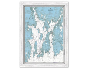
NARRAGANSETT BAY, Rhode Island - Nautical Chart by NOAA 1972
$38.00
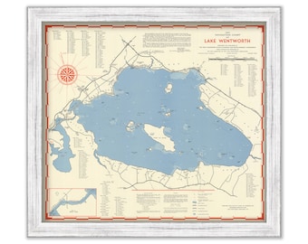
LAKE WENTWORTH, New Hampshire 1951 Nautical Chart
$38.00
SAINT SIMON ISLAND, Georgia - 2015 Nautical Chart
$44.00
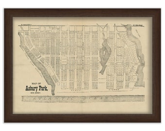
ASBURY PARK, New Jersey Map
$34.00
Isles of Palm to Georgetown Lighthouse, South Carolina - 1992 Nautical Chart Blueprint
$26.00
1
...
33
34
35
36
37
38
39
...
57
0 items in your cart
Close
Keep shopping! :)
Legal imprint
Close