Old Map Company
Shop
Blog
Gallery
Cart (
0
)
0
Old Map Company
Shop
Blog
Gallery
Contact Us
All items
LIGHTHOUSE PLANS
BIRD'S EYE VIEWS
IRELAND MAPS
NAUTICAL CHARTS
CONNECTICUT MAPS
CALIFORNIA MAPS
MAINE MAPS
MASSACHUSETTS MAPS
MICHIGAN MAPS
NEW HAMPSHIRE MAPS
NEW JERSEY MAPS
NEW YORK MAPS
PENNSYLVANIA MAPS
FLORIDA MAPS + CHARTS
RHODE ISLAND MAPS
PRINTS + POSTERS
WISCONSIN MAPS
VERMONT MAPS
MARYLAND MAPS
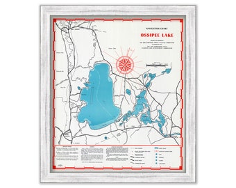
LAKE OSSIPEE, New Hampshire 1958 Nautical Chart
$44.00
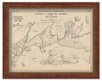
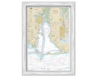
Greenwich and Port Chester - Nautical Chart by George W. Eldridge 1901
$42.00
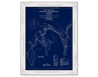
Little Neck Bay, Manhasset, Hempstead Harbor, Long Island - Blue Print - Nautical Chart by George W. Eldridge 1901
$37.00
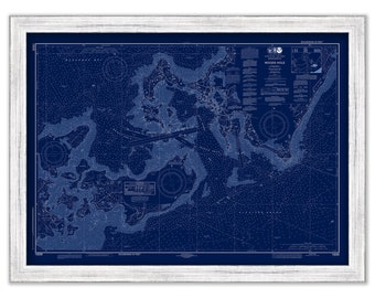
WOODS HOLE, FALMOUTH, Massachusetts - 2019 Nautical Chart Blueprint
$40.00
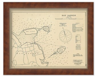
BAR HARBOR, Maine 1909 Chart by Geo. Eldridge
$50.00
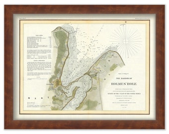
Holmes' Hole Harbor, Vineyard Haven, Martha's Vineyard, Massachusetts Nautical Chart - 1847
$50.00
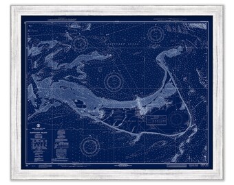
NANTUCKET ISLAND, Massachusetts Blueprint Chart 1971 - by NOAA
$44.00
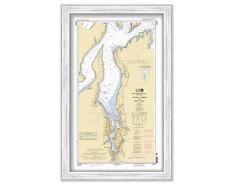
OLYMPIA HARBOR and Budd Inlet, Washington - Nautical Chart published in 2010
$26.00
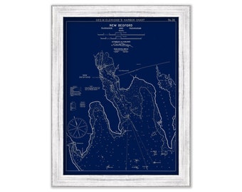
New Bedford, Fairhaven, & Padanaram, Massachusetts - Blue Print - Nautical Chart by George W. Eldridge 1901
$37.00
MOBILE, Alabama - 2016 Nautical Chart
$40.00
OCRACOKE INLET, North Carolina - 2019 Nautical Chart Blueprint
$38.00
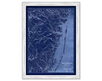
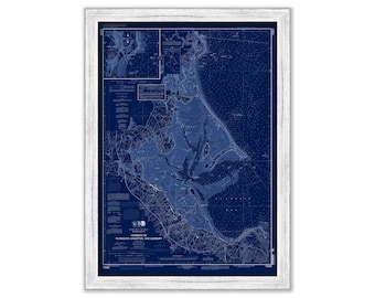
BARNEGAT BAY, New Jersey - 1888 Topographical Map Blueprint
$37.00
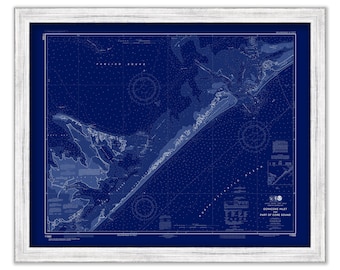
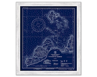
CUTTYHUNK ISLAND HARBOR, Massachusetts - Nautical Chart Blueprint published in 1939
$44.00
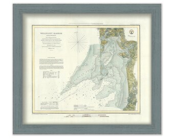
Wellfleet Harbor, Massachusetts 1852 Nautical Chart
$44.00
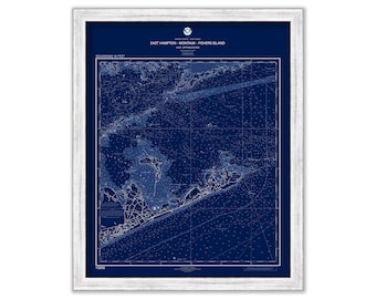
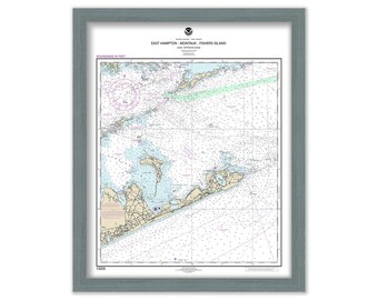
East Hampton, Montauk, and Fishers Island - Nautical Chart Blueprint - From NOAA chart 13205
$44.00
STAMFORD, NORWALK and SAUGATUCK, Connecticut - Nautical Chart Blueprint published in 2016
$44.00
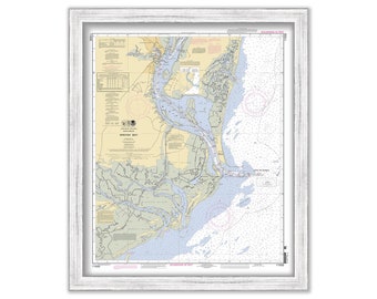
Plymouth, Kingston and Duxbury, Massachusetts - Nautical Chart Blueprint by NOAA
$44.00
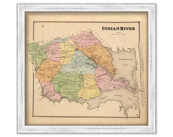
INDIAN RIVER, Delaware - 1868 Map
$26.00
East Hampton, Montauk, and Fishers Island, New York - 2017 Nautical Chart
$44.00
WINYAH BAY, South Carolina 2012 Nautical Chart
$40.00
1
...
28
29
30
31
32
33
34
...
57
0 items in your cart
Close
Keep shopping! :)
Legal imprint
Close