Old Map Company
Shop
Blog
Gallery
Cart (
0
)
0
Old Map Company
Shop
Blog
Gallery
Contact Us
All items
LIGHTHOUSE PLANS
BIRD'S EYE VIEWS
IRELAND MAPS
NAUTICAL CHARTS
CONNECTICUT MAPS
CALIFORNIA MAPS
MAINE MAPS
MASSACHUSETTS MAPS
MICHIGAN MAPS
NEW HAMPSHIRE MAPS
NEW JERSEY MAPS
NEW YORK MAPS
PENNSYLVANIA MAPS
FLORIDA MAPS + CHARTS
RHODE ISLAND MAPS
PRINTS + POSTERS
WISCONSIN MAPS
VERMONT MAPS
MARYLAND MAPS
NARRAGANSETT BAY, Rhode Island - Nautical Chart by Des Barre 1776
$25.00
Anclote Keys to Crystal River, Florida - 2017 Nautical Chart Blueprint
$23.00
CAPE ELIZABETH, Maine to PORTSMOUTH, New Hampshire - Blueprint Nautical Chart 2019
$38.00
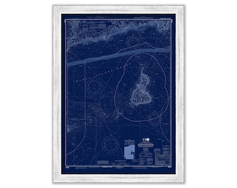
SAINT SIMON ISLAND, Georgia - 2015 Nautical Chart Blueprint
$26.00
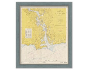
STAMFORD, NORWALK and SAUGATUCK, Connecticut - Nautical Chart published in 2016
$37.00
LAKE SUNAPEE, New Hampshire 1961 Nautical Chart Blueprint
$44.00
BLOCK ISLAND SOUND, Rhode Island - 2014 Nautical Chart Blueprint
$44.00
CONNECTICUT RIVER - 1957 Nautical Chart
$38.00
Martha's Vineyard & Narragansett Bay Nautical Chart by Eldridge 1900 West Chop to Point Judith
$48.00
UPPER GALVESTON BAY, Texas - 2017 Nautical Chart Blueprint
$37.00
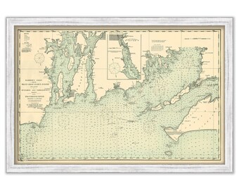
MUSCONGUS BAY and MONHEGAN Island, Maine 2014 Nautical Chart Blueprint
$38.00
Guilford, Connecticut - Nautical Chart by George W. Eldridge Colored Version 0318
$50.00
OYSTER BAY, Long Island, New York - Blue Print - Nautical Chart by George W. Eldridge 1901
$37.00
CONNECTICUT RIVER MOUTH, Connecticut - Nautical Chart Blueprint published in 2010
$44.00
Cape Elizabeth to Cape Cod - 1951 Nautical Chart Blueprint
$44.00
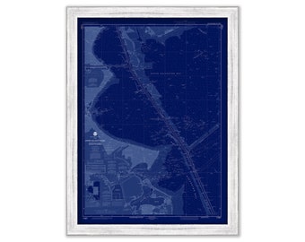
BATH, WESTPORT and SOUTHPORT, Maine - 2016 Nautical Chart Blueprint
$26.00
ONEIDA LAKE, New York - 2019 Nautical Chart
$44.00
SAN FRANCISCO HARBOR, California - Nautical Chart Blueprint published in 2013
$38.00
MOUNT DESERT ISLAND and Blue Hill Bay, Maine 2014 Nautical Chart Blueprint
$44.00
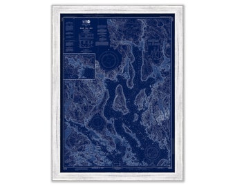
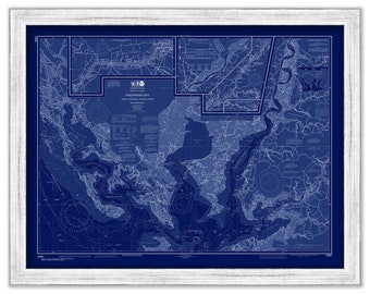
CHESAPEAKE BAY, Honga, Nanticoke and Wicomico Rivers, Maryland/Virginia - 2017 Nautical Chart Blueprint
$26.00
1
...
50
51
52
53
54
55
56
57
0 items in your cart
Close
Keep shopping! :)
Legal imprint
Close