Old Map Company
Shop
Blog
Gallery
Cart (
0
)
0
Old Map Company
Shop
Blog
Gallery
Contact Us
All items
LIGHTHOUSE PLANS
BIRD'S EYE VIEWS
IRELAND MAPS
NAUTICAL CHARTS
CONNECTICUT MAPS
CALIFORNIA MAPS
MAINE MAPS
MASSACHUSETTS MAPS
MICHIGAN MAPS
NEW HAMPSHIRE MAPS
NEW JERSEY MAPS
NEW YORK MAPS
PENNSYLVANIA MAPS
FLORIDA MAPS + CHARTS
RHODE ISLAND MAPS
PRINTS + POSTERS
WISCONSIN MAPS
VERMONT MAPS
MARYLAND MAPS
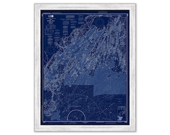
CASCO BAY, Maine 2019 Nautical Chart Blueprint
$38.00
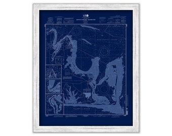
MARTHA'S VINEVARD, Eastern Part, Massachusetts - 2007 Nautical Chart Blueprint
$26.00
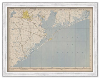
GALVESTON and HOUSTON, Texas - 1950 Nautical Chart
$26.00
MOLDING SAMPLES
$10.00
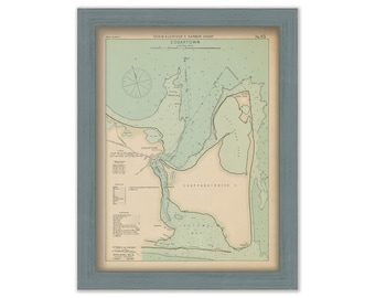
Edgartown Martha's Vineyard - Nautical Chart by George W. Eldridge 1901
$50.00
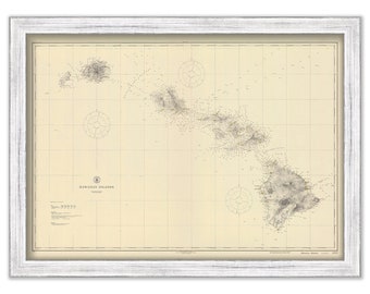
HAWAIIAN ISLANDS - 1917 Nautical Chart
$40.00
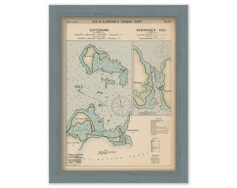
Cuttyhunk & Robinson's Hole, Massachusetts - Nautical Chart by George W. Eldridge Colored Version
$50.00
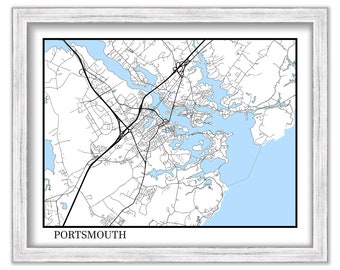
PORTSMOUTH, New Hampshire - Contemporary Map Poster
$26.00
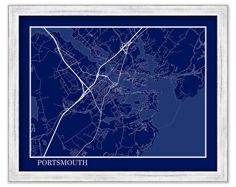
PORTSMOUTH, New Hampshire - Contemporary Map Poster Blueprint
$26.00
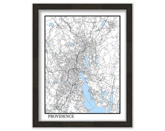
PROVIDENCE, Rhode Island - Contemporary Map Poster
$37.00
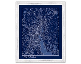
PROVIDENCE, Rhode Island - Contemporary Map Poster Blueprint
$37.00
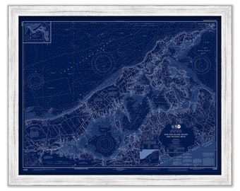
SHELTER ISLAND SOUND, Long Island, New York - Nautical Chart Blueprint published in 2017
$44.00
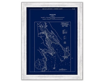
Marion, Massachusetts - Blue Print - Nautical Chart by George W. Eldridge 1901
$37.00
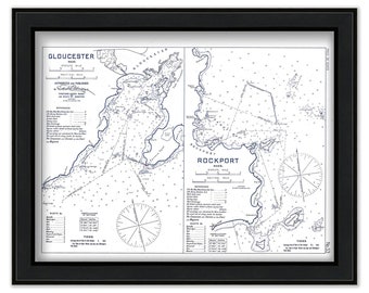
GLOUCESTER and ROCKPORT HARBORS, Massachusetts 1909 - Black and White - Nautical Chart by Geo. Eldridge
$50.00
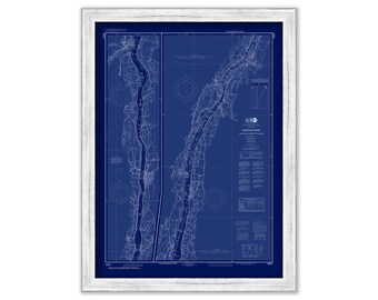
HUDSON RIVER, New York - 2017 Nautical Chart Blueprint
$26.00
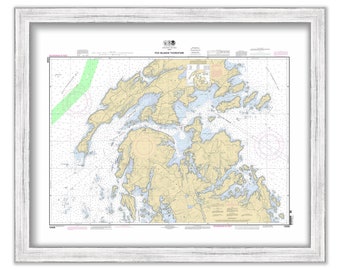
FOX ISLAND THOROFARE, Maine - 2011 Nautical Chart
$26.00
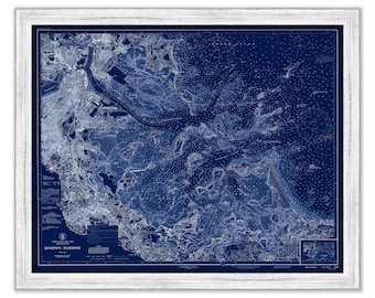
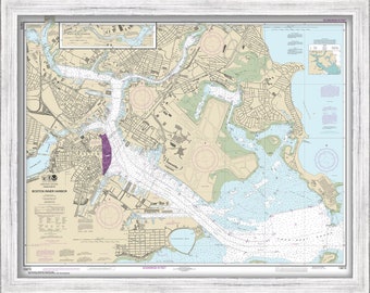
BOSTON HARBOR, Massachusetts - 1944 Nautical Chart Blueprint
$44.00
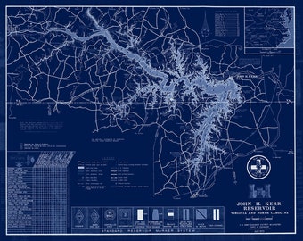
John H. Kerr Reservoir, Virginia/North Carolina - 1973 Blueprint Map
$38.00
BOSTON INNER HARBOR, Massachusetts - Nautical Chart 2016
$38.00
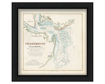
CHARLESTON HARBOR, South Carolina 1825 - Nautical Chart by Edmund Blunt
$33.00
1
...
50
51
52
53
54
55
56
57
0 items in your cart
Close
Keep shopping! :)
Legal imprint
Close