Old Map Company
Shop
Blog
Gallery
Cart (
0
)
0
Old Map Company
Shop
Blog
Gallery
Contact Us
All items
LIGHTHOUSE PLANS
BIRD'S EYE VIEWS
IRELAND MAPS
NAUTICAL CHARTS
CONNECTICUT MAPS
CALIFORNIA MAPS
MAINE MAPS
MASSACHUSETTS MAPS
MICHIGAN MAPS
NEW HAMPSHIRE MAPS
NEW JERSEY MAPS
NEW YORK MAPS
PENNSYLVANIA MAPS
FLORIDA MAPS + CHARTS
RHODE ISLAND MAPS
PRINTS + POSTERS
WISCONSIN MAPS
VERMONT MAPS
MARYLAND MAPS
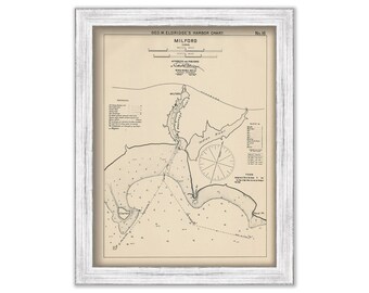
MILFORD, Connecticut - Nautical Chart by George W. Eldridge 1901
$50.00
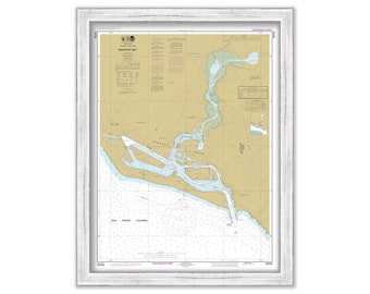
NEWPORT BAY, California - 2016 Nautical Chart
$40.00
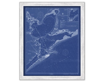
GALVESTON BAY, Texas - 1919 Nautical Chart Blueprint
$37.00
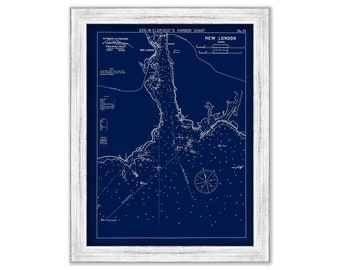
New London, Connecticut - Blue Print - Nautical Chart by George W. Eldridge 1901
$37.00
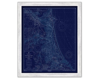
Newburyport Harbor and Plum Island Sound 1965 - Blue Print - The U. S. Coast and Geodetic Survey
$38.00
WINYAH BAY, South Carolina 2012 Nautical Chart Blueprint
$40.00
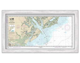
HILTON HEAD - 2013 Nautical Chart
$25.00
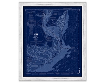
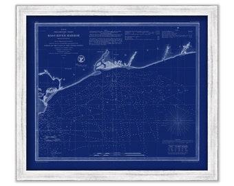
BASS RIVER HARBOR, Cape Cod, Massachusetts - 1854 Nautical Chart Blueprint
$38.00
BRANFORD and GUILFORD, Connecticut - Nautical Chart Blueprint published in 2016
$44.00
CAPE COD BAY, Massachusetts - 1872 Nautical Chart Blueprint
$38.00
BEAUFORT HARBOR, North Carolina - 1928 Nautical Chart Blueprint
$38.00
SAINT LAWRENCE RIVER, New York - The Thousand Islands 2019 Nautical Chart Blueprint
$43.00
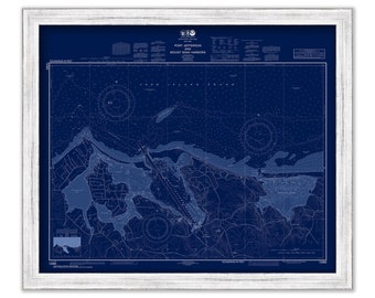
PORT JEFFERSON, Long Island, New York - Nautical Chart Blueprint published in 2016
$44.00
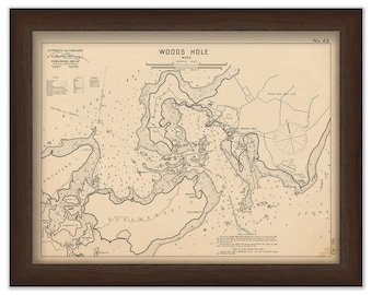
Woods Hole - Nautical Chart by George W. Eldridge 1901
$42.00
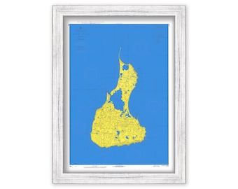
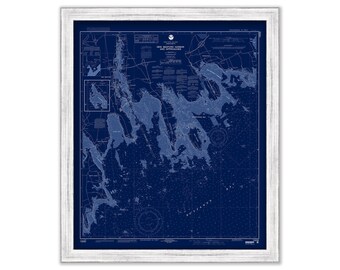
BLOCK ISLAND on Blue 1968
$44.00
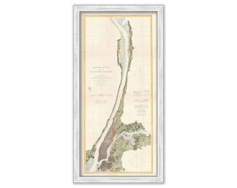
Hudson River, New York 1863 Nautical Chart
$46.00
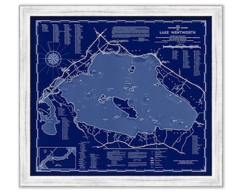
LAKE WENTWORTH, New Hampshire 1951 Nautical Chart Blueprint
$44.00
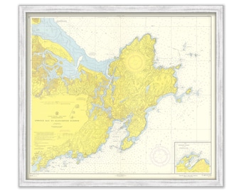
Ipswich Bay to Gloucester Harbor 1958 - The U. S. Coast and Geodetic Survey
$30.00
NEW BEDFORD HARBOR, Massachusetts - Nautical Chart Blueprint published in 2001
$26.00
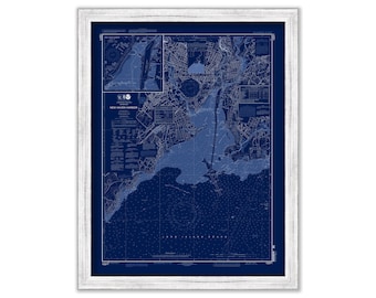
NEW HAVEN HARBOR, Connecticut - Nautical Chart Blueprint published in 2012
$44.00
1
...
20
21
22
23
24
25
26
...
57
0 items in your cart
Close
Keep shopping! :)
Legal imprint
Close