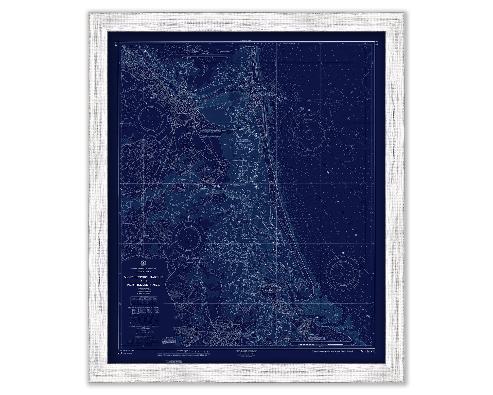
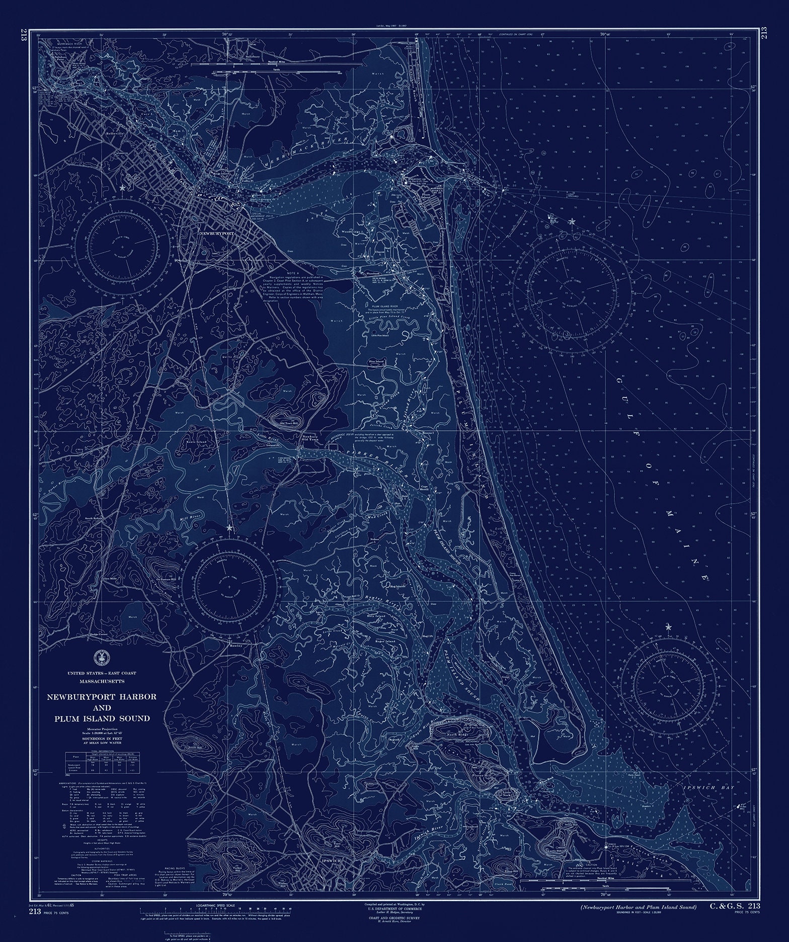
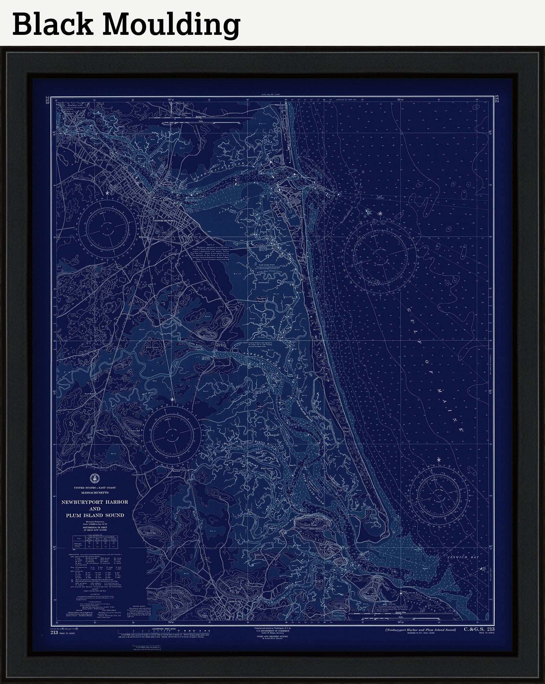
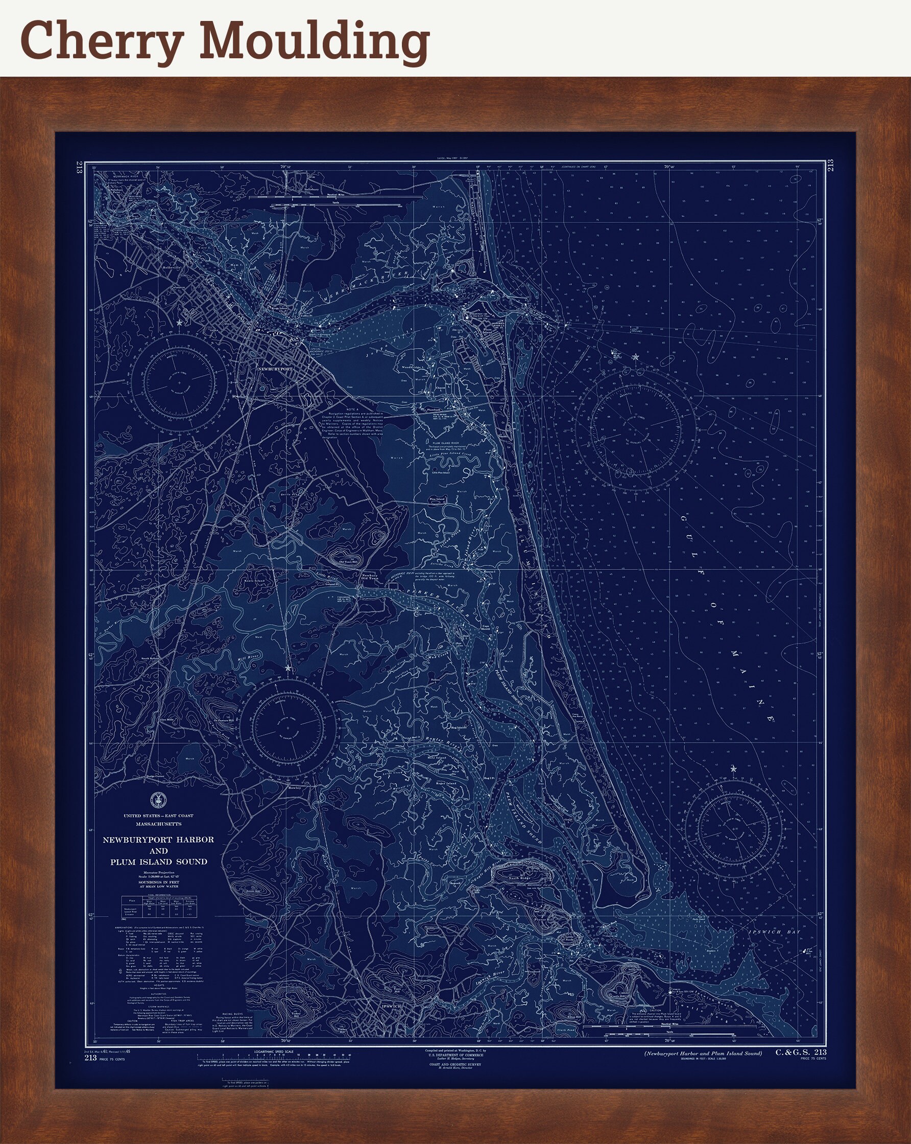
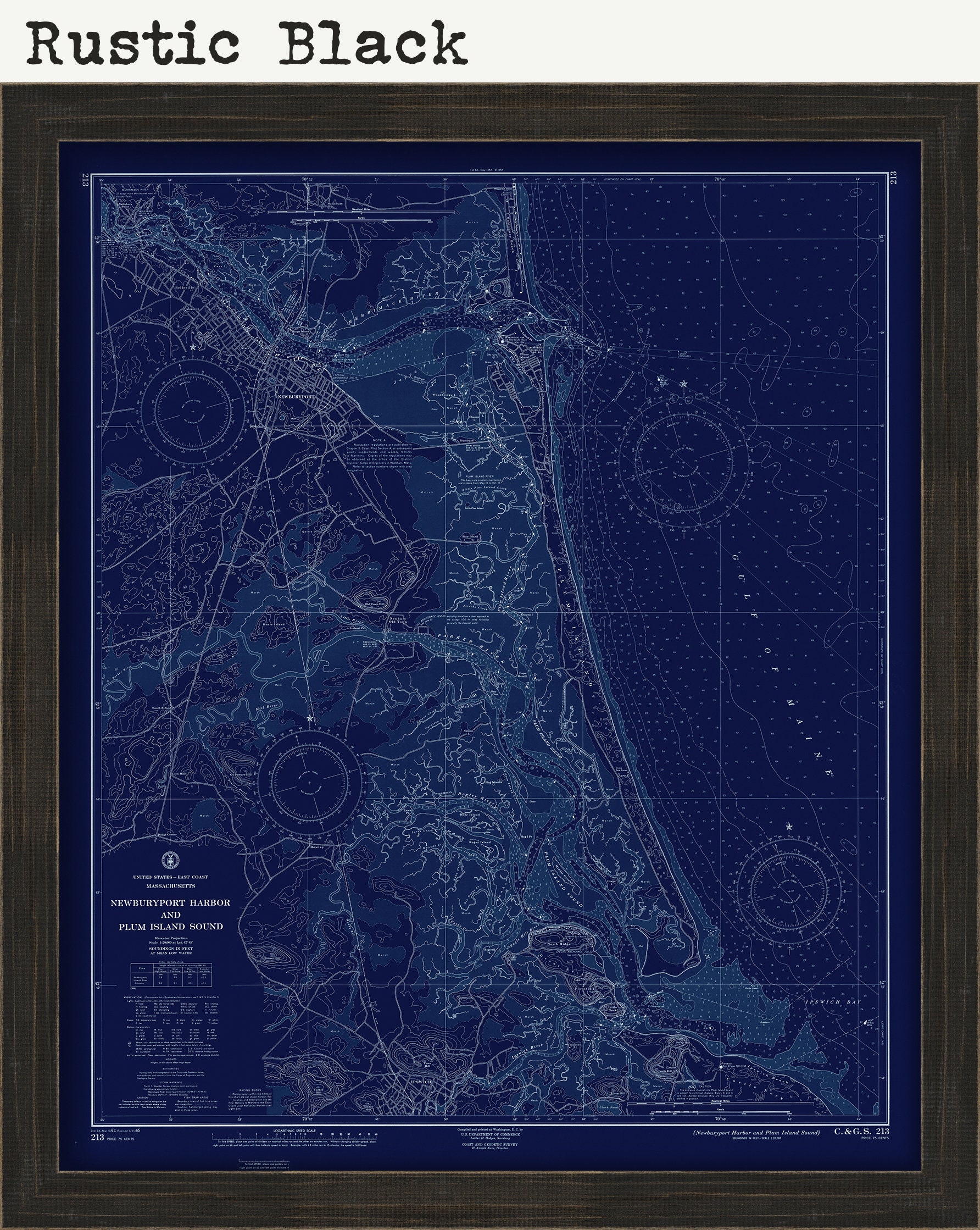
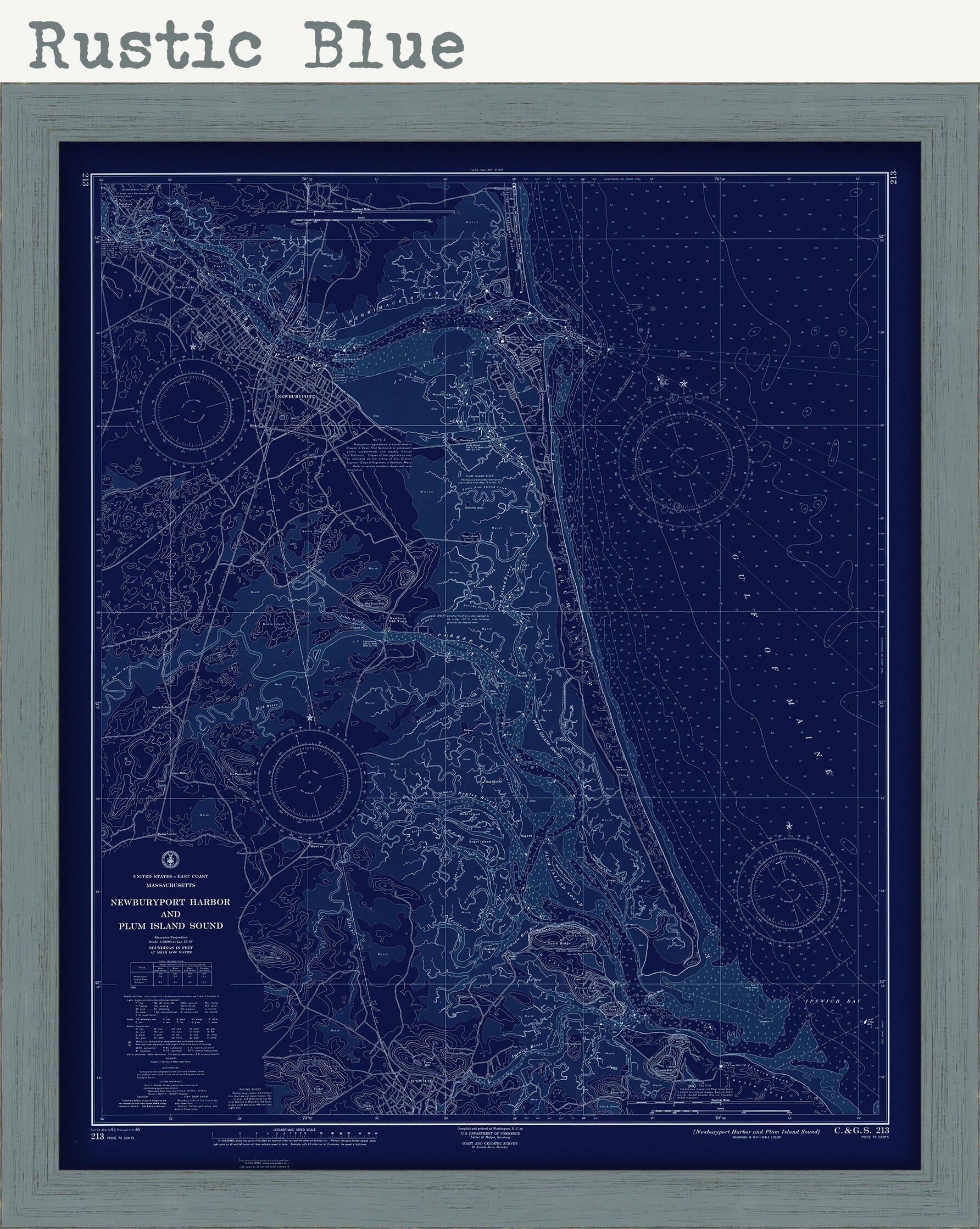
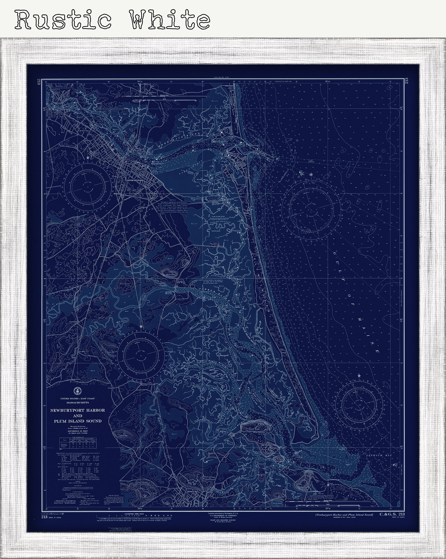
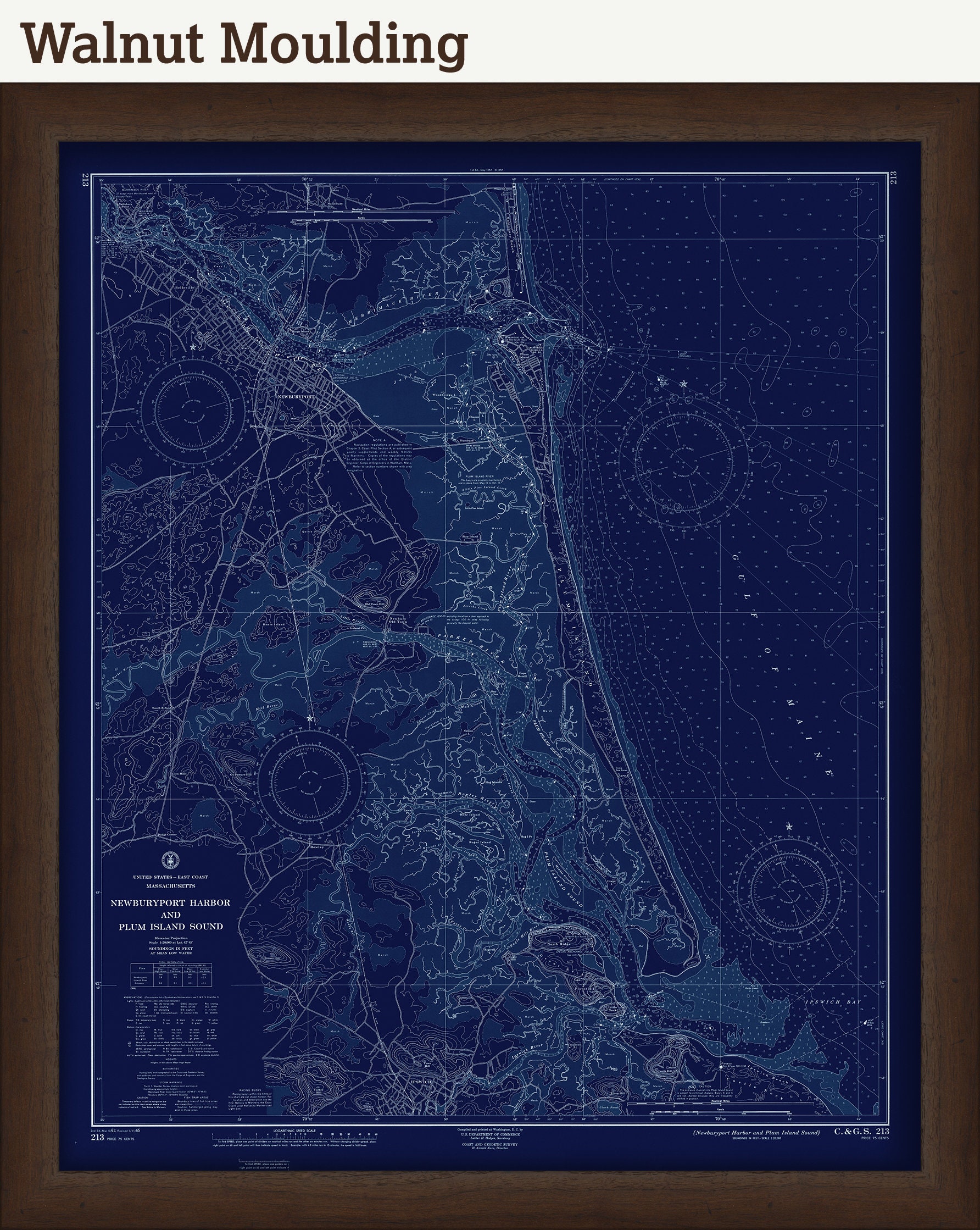
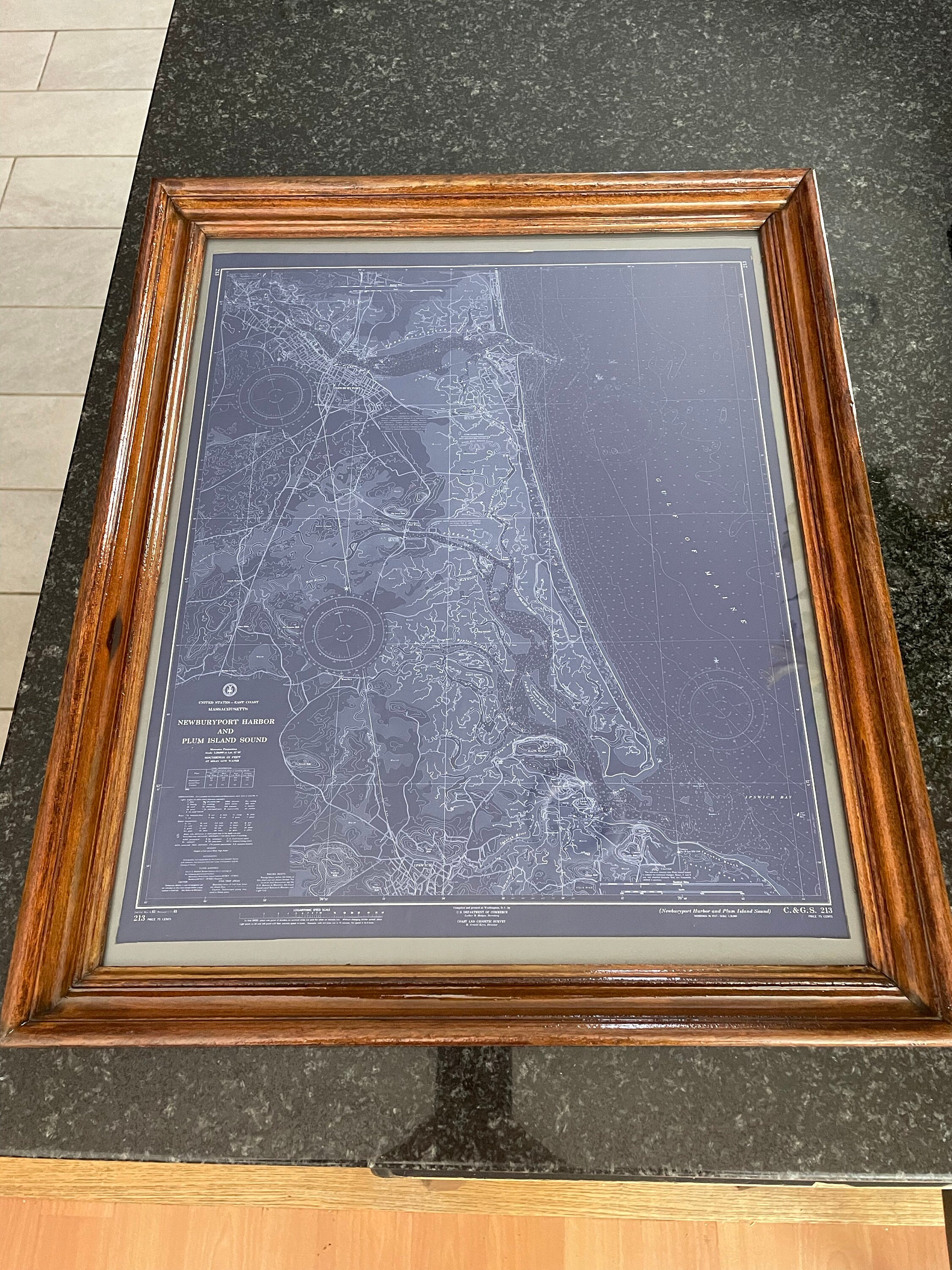
Newburyport Harbor and Plum Island Sound 1965 - Blue Print - The U. S. Coast and Geodetic Survey
$38.00
A modern reproduction of a NOAA chart of Newburyport Harbor and Plum Island Sound originally published in 1965
Original Dimensions of the Map are: 33" wide by 40" tall
Printed on matte fine art paper with archival inks
This map has been scanned at 300 dpi using state of the art equipment. The replica map is printed on heavy matte fine art paper using archival pigment inks.
Custom sizes are available. If you are interested in a custom size, please let us know through the "ask a question" button in this listing
A high resolution version of this image can be downloaded here by pasting this URL into your browser: https://rmicusec.sirv.com/etsy/newburyport_plum_island_blueprint.jpg
0432
Shipping from United States
Processing time
1-3 business days
Customs and import taxes
Buyers are responsible for any customs and import taxes that may apply. I'm not responsible for delays due to customs.
Payment Options
Returns & Exchanges
Returns & exchanges not accepted
But please contact me if you have problems with your order
I gladly accept cancellations
Request a cancellation within: 1 hours of purchase
Reviews (2)
Average:
Mar 12, 2023
dohearn3
Jun 30, 2022
nice quality print and arrived super quickly!
Emma McMillen