Old Map Company
Shop
Blog
Gallery
Cart (
0
)
0
Old Map Company
Shop
Blog
Gallery
Contact Us
All items
LIGHTHOUSE PLANS
BIRD'S EYE VIEWS
IRELAND MAPS
NAUTICAL CHARTS
CONNECTICUT MAPS
CALIFORNIA MAPS
MAINE MAPS
MASSACHUSETTS MAPS
MICHIGAN MAPS
NEW HAMPSHIRE MAPS
NEW JERSEY MAPS
NEW YORK MAPS
PENNSYLVANIA MAPS
FLORIDA MAPS + CHARTS
RHODE ISLAND MAPS
PRINTS + POSTERS
WISCONSIN MAPS
VERMONT MAPS
MARYLAND MAPS
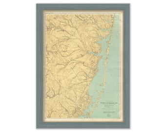
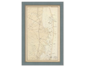
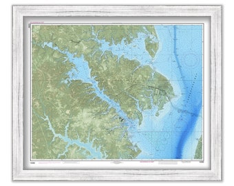
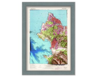
BARNEGAT BAY, New Jersey - 1888 Topographical Map
$37.00
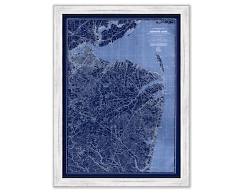
MONMOUTH SHORE, New Jersey - 1888 Topographical Map Blueprint
$25.00
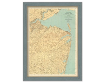
MONMOUTH SHORE, New Jersey - 1888 Topographical Map
$37.00
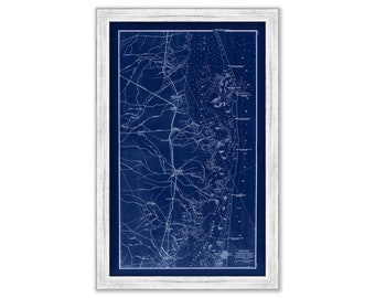
LONG BEACH ISLAND, New Jersey 1878 Blueprint Nautical Chart/Map
$25.00
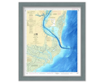
LONG BEACH ISLAND, New Jersey 1878 Nautical Chart/Map
$37.00
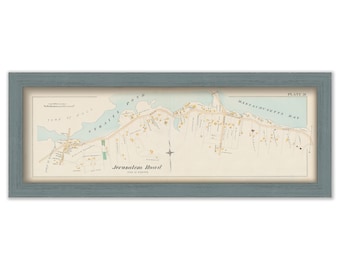
JERUSALEM ROAD, COHASSET, Massachusetts 1888 Map Colored Reproduction
$37.00
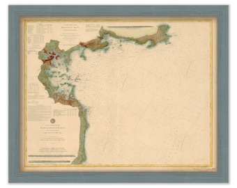
MASSACHUSETTS BAY, Cape Ann to Cape Cod - 1877 Nautical Chart
$38.00
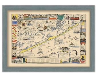
LONG BEACH ISLAND, New Jersey - Pictorial Map
$37.00
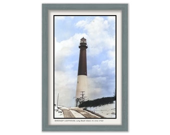
BARNEGET LIGHTHOUSE, Long Beach Island, New Jersey - Colorized Old Photo circa 1920
$25.00
WINYAH BAY, South Carolina - Enhanced Nautical Chart
$38.00
CHESAPEAKE BAY, Annapolis, Sever and Magothy Rivers, Maryland/Virginia - Enhanced Nautical Chart
$25.00
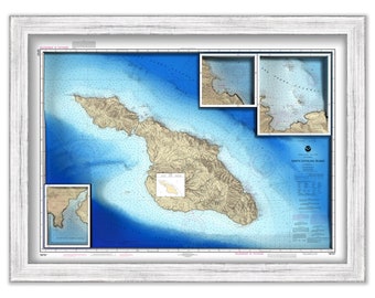
SANTA CATALINA ISLAND, California - Enhanced Nautical Chart
$25.00
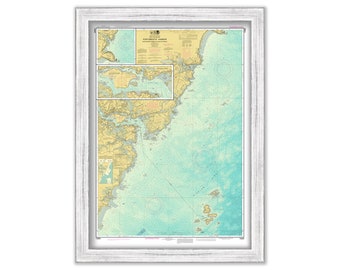
PORTSMOUTH HARBOR, Cape Neddick Harbor and Isles of Shoals, New Hampshire - Enhanced Nautical Chart
$25.00
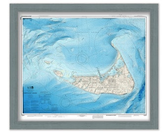
NANTUCKET, Massachusetts - Enhanced Nautical Chart
$25.00
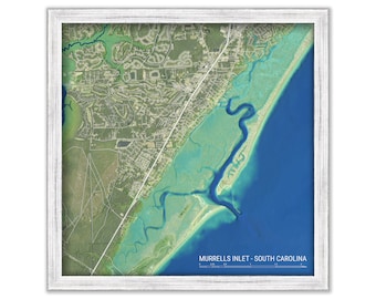
MURRELLS INLET, South Carolina - Enhanced Aerial View
$38.00
MONTEREY and CARMEL, California - Enhanced Nautical Chart/Map
$38.00
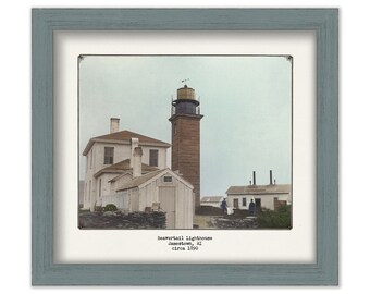
BEAVERTAIL LIGHTHOUSE, Jamestown, Rhode Island - Colorized Old Photo of the Lighthouse in 1890
$38.00
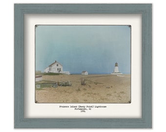
SANDY POINT LIGHTHOUSE, Prudence Island, Rhode Island - Colorized Old Photo of the Lighthouse in 1884
$38.00
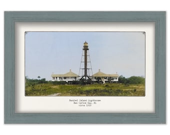
SANIBEL ISLAND LIGHTHOUSE, Florida - Colorized Old Photo of the Lighthouse as it was in 1910.
$25.00
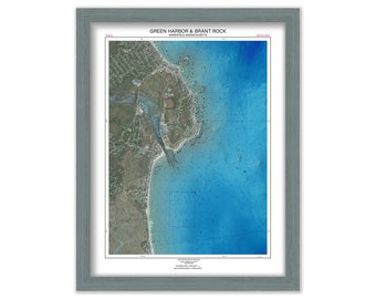
Green Harbor and Brant Rock, MARSHFIELD, Massachusetts - Enhanced Aerial View Poster
$42.00
1
2
3
4
5
6
7
8
...
287
0 items in your cart
Close
Keep shopping! :)
Legal imprint
Close