Old Map Company
Shop
Blog
Gallery
Cart (
0
)
0
Old Map Company
Shop
Blog
Gallery
Contact Us
All items
LIGHTHOUSE PLANS
BIRD'S EYE VIEWS
IRELAND MAPS
NAUTICAL CHARTS
CONNECTICUT MAPS
CALIFORNIA MAPS
MAINE MAPS
MASSACHUSETTS MAPS
MICHIGAN MAPS
NEW HAMPSHIRE MAPS
NEW JERSEY MAPS
NEW YORK MAPS
PENNSYLVANIA MAPS
FLORIDA MAPS + CHARTS
RHODE ISLAND MAPS
PRINTS + POSTERS
WISCONSIN MAPS
VERMONT MAPS
MARYLAND MAPS
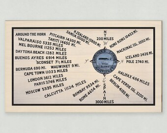
Gardiner's Corner - Print on Birch Panel
$59.00
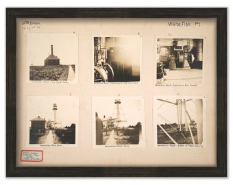
Whitefish Point Lighthouse - 6 Photographs circa 1912 (modern reprint) - Paradise, Michigan
$37.00
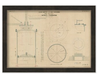
Whitefish Point Lighthouse - Foundation Details - Paradise, Michigan
$37.00
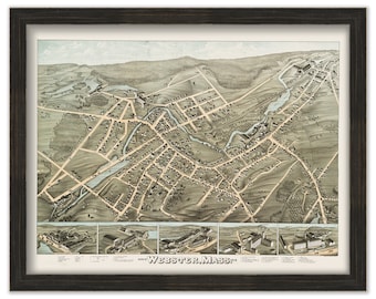
WEBSTER, Massachusetts 1878 Bird's Eye View
$38.00
Cape Cod, Martha's Vineyard and Nantucket, Massachusetts - Contemporary Map Poster
$38.00
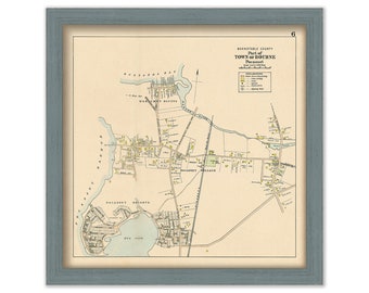
POCASSET VILLAGE, Bourne, Massachusetts 1910
$38.00
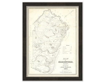
MARSHFIELD, Massachusetts 1838 Map by John Ford
$37.00
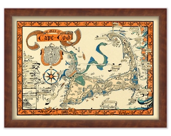
CAPE COD, Massachusetts 1926 Pictorial Map
$25.00
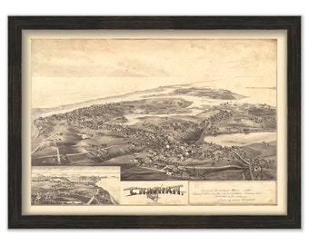
CHATHAM, Massachusetts 1894 Bird's Eye View
$37.00
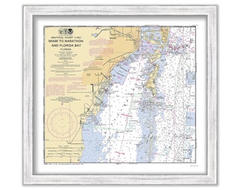
Miami, Coral Gables, Coconut Grove and Key Biscayne, Florida - 1998 Nautical Chart
$37.00
Coral Gables, Coconut Grove, Key Biscayne and Miami, Florida - 2009 Nautical Chart
$25.00
Fire Island inlet to Watch Hill, Great South Bay, Long Island New York, NOAA chart compilation
$38.00
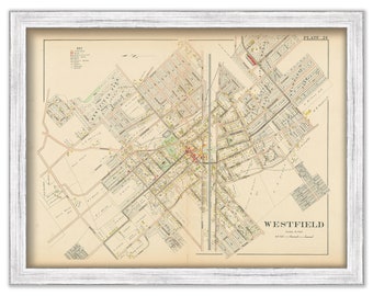
WESTFIELD NJ, and MOUNTAINSIDE Borough, 1906
$38.00
WESTFIELD NJ, Town Center, 1906
$31.00
CAPE HATTERAS, North Carolina - 2018 Nautical Chart - Bathymetry Data layer
$46.00
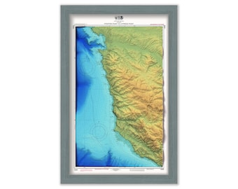
Pfeiffer Point to Cyprus Point - Nautical Chart - Rendered Elevation and Bathymetric Data
$46.00
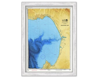
MONTEREY BAY, California - Nautical Chart - Enhanced Bathymetric Data Rendering
$48.00
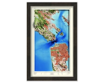
San Francisco & Vicinity - 1954 Topographic Chart - Rendered Elevation and Bathymetric Data
$46.00
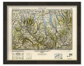
FINGER LAKES - New York - 1948 - USGS Survey Map
$44.00
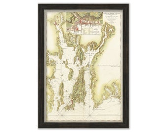
NARRAGANSETT BAY, Rhode Island - Nautical Chart by Des Barre 1776
$32.00
1
...
5
6
7
8
9
10
11
...
287
0 items in your cart
Close
Keep shopping! :)
Legal imprint
Close