Old Map Company
Shop
Blog
Gallery
Cart (
0
)
0
Old Map Company
Shop
Blog
Gallery
Contact Us
All items
LIGHTHOUSE PLANS
BIRD'S EYE VIEWS
IRELAND MAPS
NAUTICAL CHARTS
CONNECTICUT MAPS
CALIFORNIA MAPS
MAINE MAPS
MASSACHUSETTS MAPS
MICHIGAN MAPS
NEW HAMPSHIRE MAPS
NEW JERSEY MAPS
NEW YORK MAPS
PENNSYLVANIA MAPS
FLORIDA MAPS + CHARTS
RHODE ISLAND MAPS
PRINTS + POSTERS
WISCONSIN MAPS
VERMONT MAPS
MARYLAND MAPS
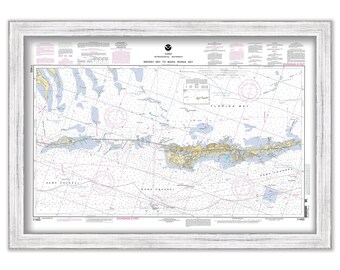
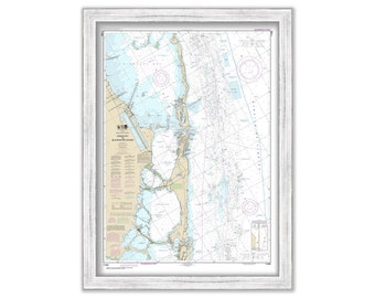
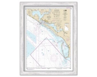
Grassy Key to Bahia Honda Key, Florida - 2008 NOAA Chart
$26.00
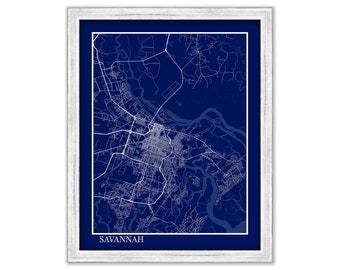
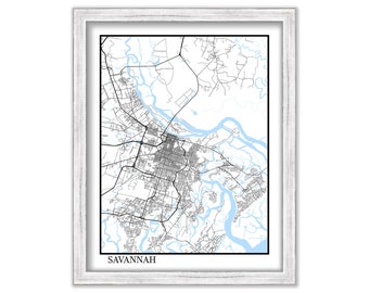
SAVANNAH, Georgia - Contemporary Map Poster Blueprint
$26.00
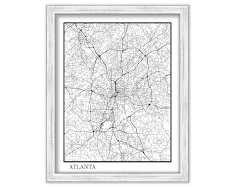
ATLANTA, Georgia - Contemporary Map Poster
$26.00
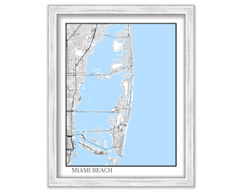
MIAMI BEACH, Florida - Contemporary Map Poster
$26.00
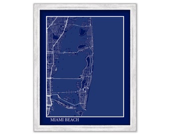
MIAMI BEACH, Florida - Contemporary Map Poster Blueprint
$26.00
Sands Key to Blackwater Sound, Florida - 2017 Nautical Chart
$26.00
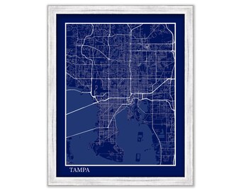
TAMPA, Florida - Contemporary Map Poster Blueprint
$26.00
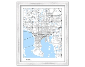
TAMPA, Florida - Contemporary Map Poster
$26.00
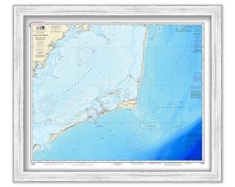
CAPE HATTERAS, North Carolina - 2018 Nautical Chart - Bathymetry Data layer
$46.00
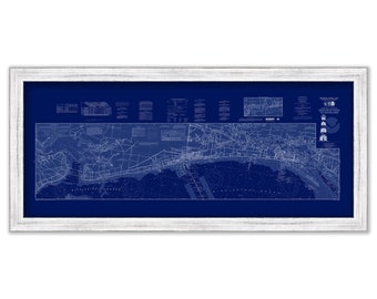
BILOXI and GULPORT, Mississippi - 2012 Nautical Chart Blueprint
$38.00
SAVANNAH, Georgia - Contemporary Map Poster
$26.00
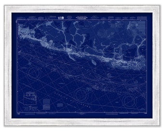
Sands Key to Blackwater Sound, Florida - 2017 Nautical Chart Blueprint
$26.00
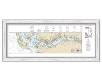
SANIBEL and CAPE CORAL, Florida - 2018 Nautical Chart
$34.00
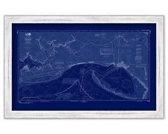
Lake Wimico to East Point, Florida - 2017 Nautical Chart Blueprint
$26.00
Key Largo to Upper Matecumbe Key, Florida - 2014 Nautical Chart Blueprint
$26.00
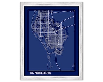
SAINT PETERSBURG, Florida - Contemporary Map Poster Blueprint
$26.00
ATLANTA, Georgia - Contemporary Map Poster Blueprint
$26.00
PANAMA CITY, Florida - 2017 Nautical Chart
$26.00
AMELIA ISLAND - Southern section of the Island to Fort George Inlet, Florida - 2015 Nautical Chart Blueprint
$26.00
West Palm Beach, Hollywood and Miami Beach, Florida - 2016 Nautical Chart Blueprint
$26.00
1
2
3
4
5
6
7
8
0 items in your cart
Close
Keep shopping! :)
Legal imprint
Close