Old Map Company
Shop
Blog
Gallery
Cart (
0
)
0
Old Map Company
Shop
Blog
Gallery
Contact Us
Showing results for "NORWELL"
View all items
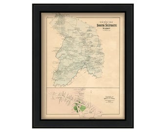
South Scituate ( TOWN of NORWELL ) Massachusetts 1879 Map
$44.00
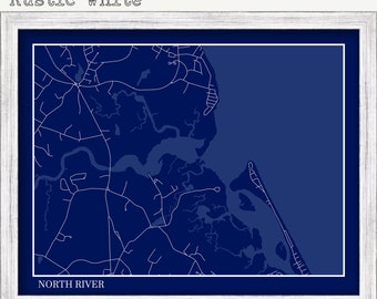
NORTH RIVER, Massachusetts - Minimalist Map Blueprint
$26.00
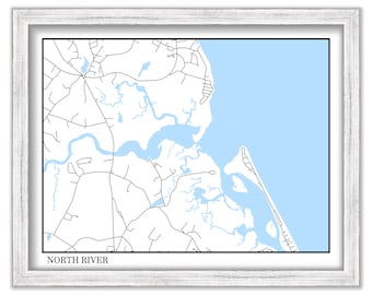
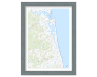
NORTH RIVER, Massachusetts - Minimalist Map on Blue
$26.00
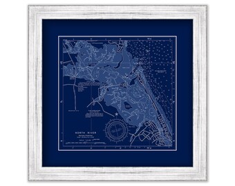
NORTH RIVER, Massachusetts - NOAA Blueprint Chart published in 2013
$40.00
Scituate Harbor and North River, Massachusetts - Chart published in 1852 of purposed canal
$38.00
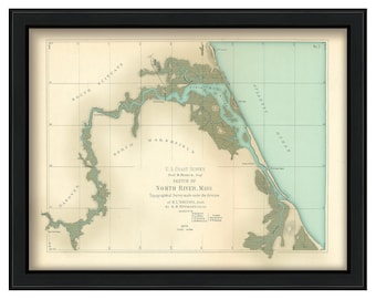
NORTH RIVER, Massachusetts published in 1872
$44.00
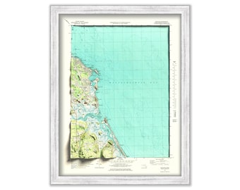
HUMAROCK and parts of SCITUATE and MARSHFIELD adjoining the North/South River, Massachusetts Topographic Map
$38.00
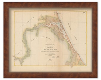
NORTH RIVER, Massachusetts Colored Chart published in 1872
$44.00
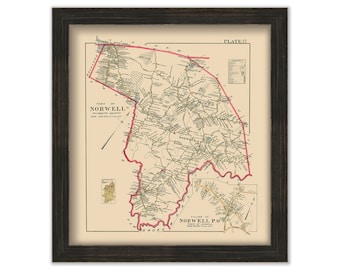
NORWELL, Massachusetts Town and Village - 1903 Map
$38.00
HUMAROCK and parts of SCITUATE and MARSHFIELD adjoining the North/South River, Massachusetts - 3D Rendered Map
$26.00
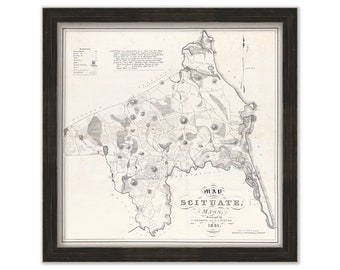
SCITUATE and SOUTH SCITUATE {Norwell}, Massachusetts - 1831 Town Map
$37.00
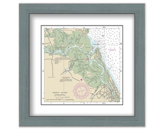
NORTH RIVER, Massachusetts - NOAA Chart published in 2013
$40.00
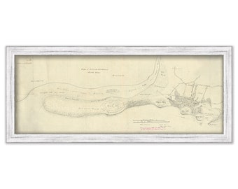
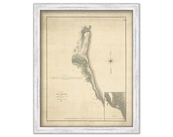
Mouth of the NORTH RIVER, Massachusetts - 1829 Plan of Survey
$44.00
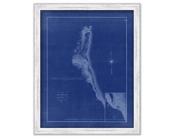
Mouth of the NORTH RIVER, Massachusetts - 1829 Blueprint Plan of Survey
$44.00
0 items in your cart
Close
Keep shopping! :)
Legal imprint
Close