Hancock County, Maine GOLD and SILVER MINES - 1881 Map, Replica or Genuine Original
$44.00
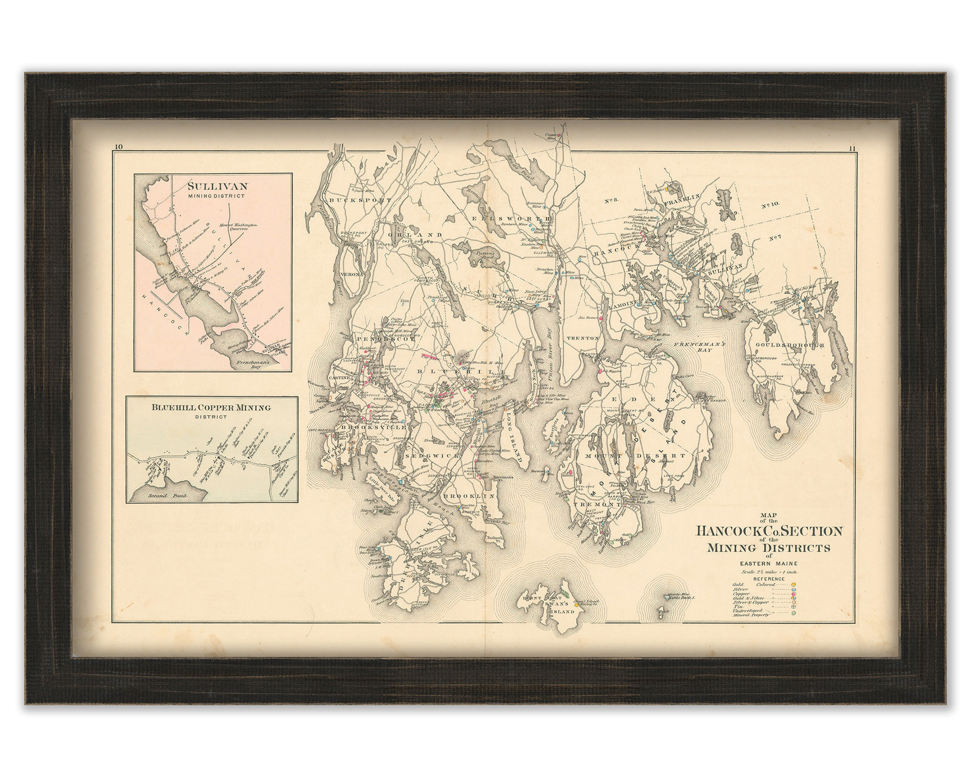
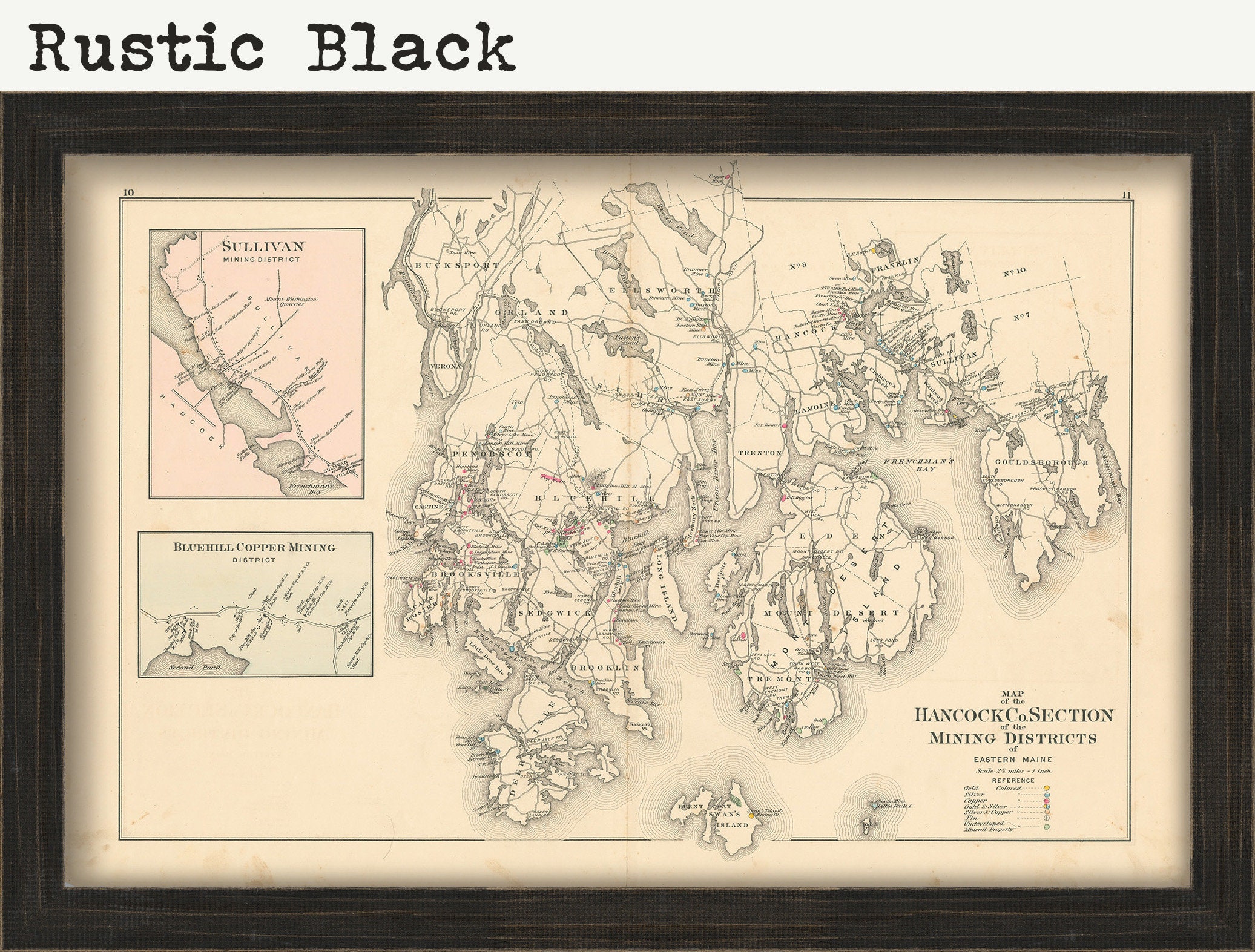
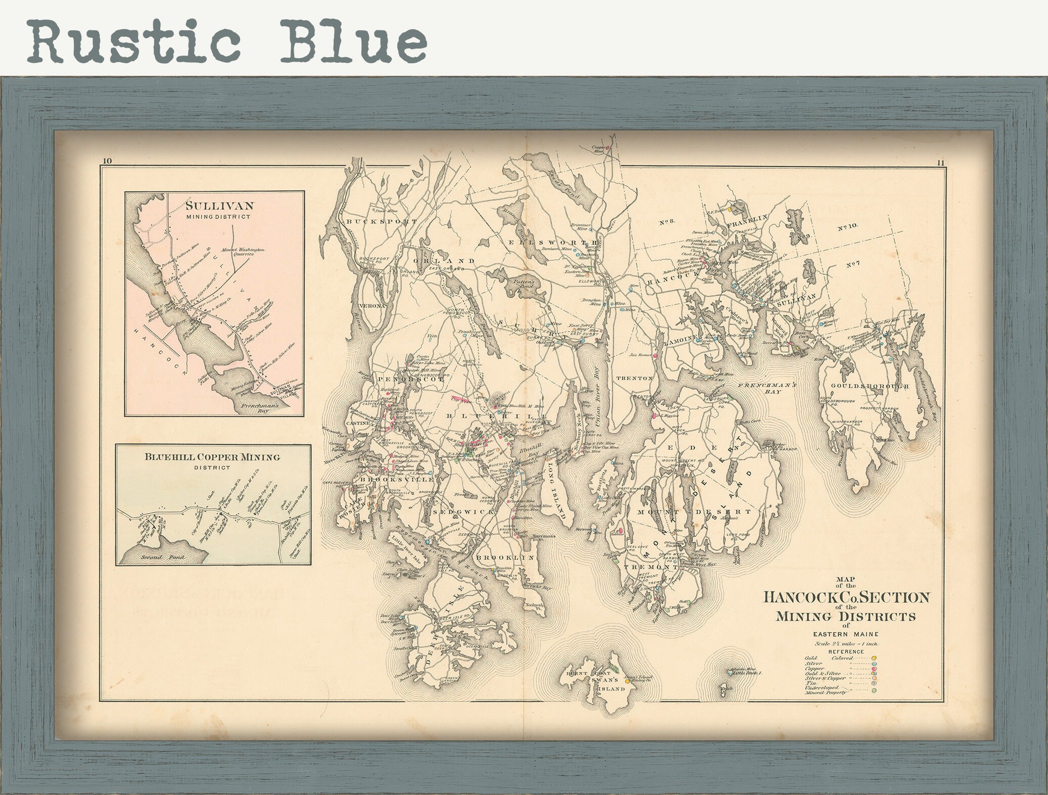
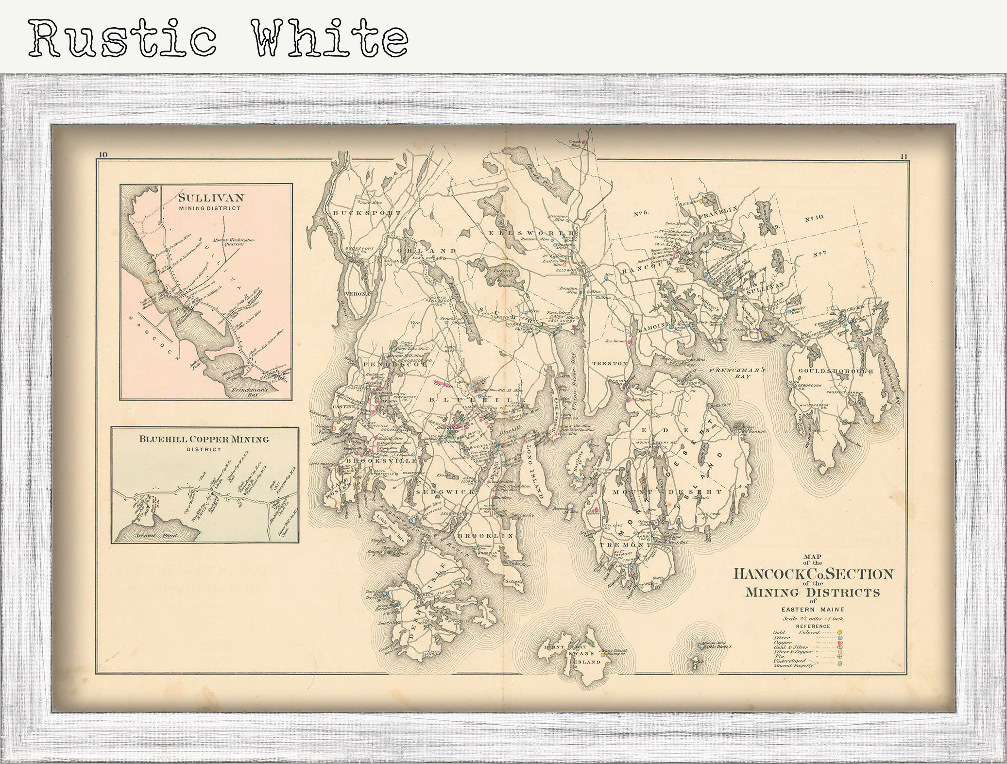
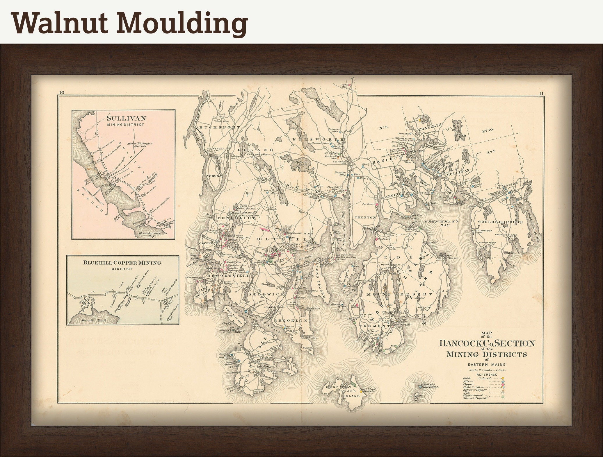
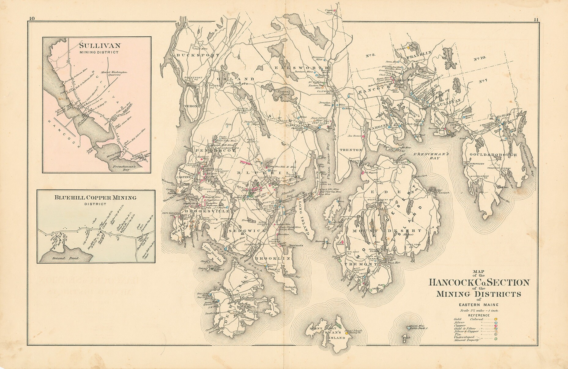
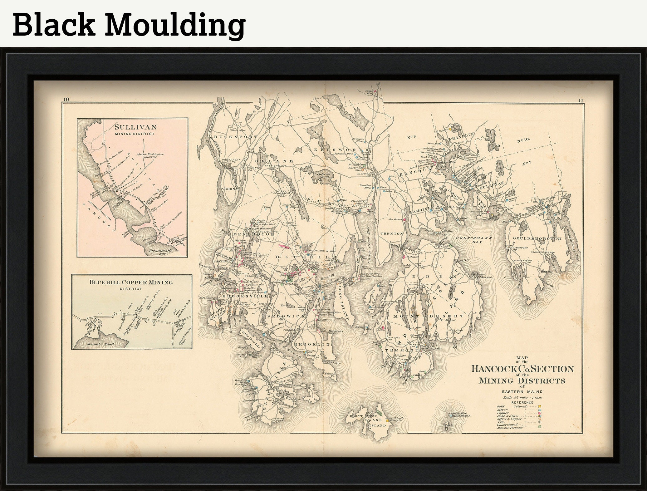
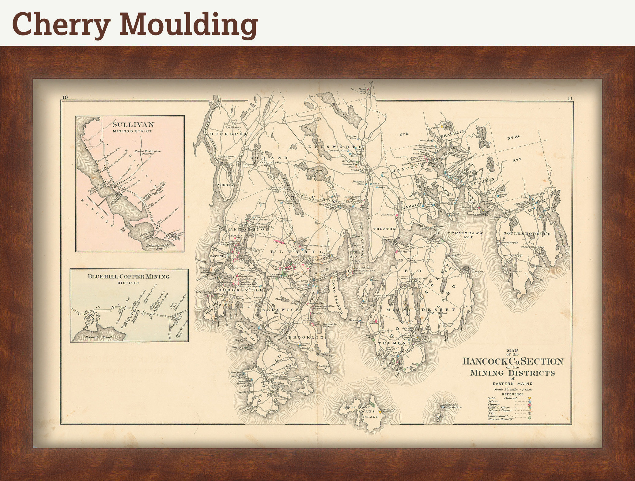
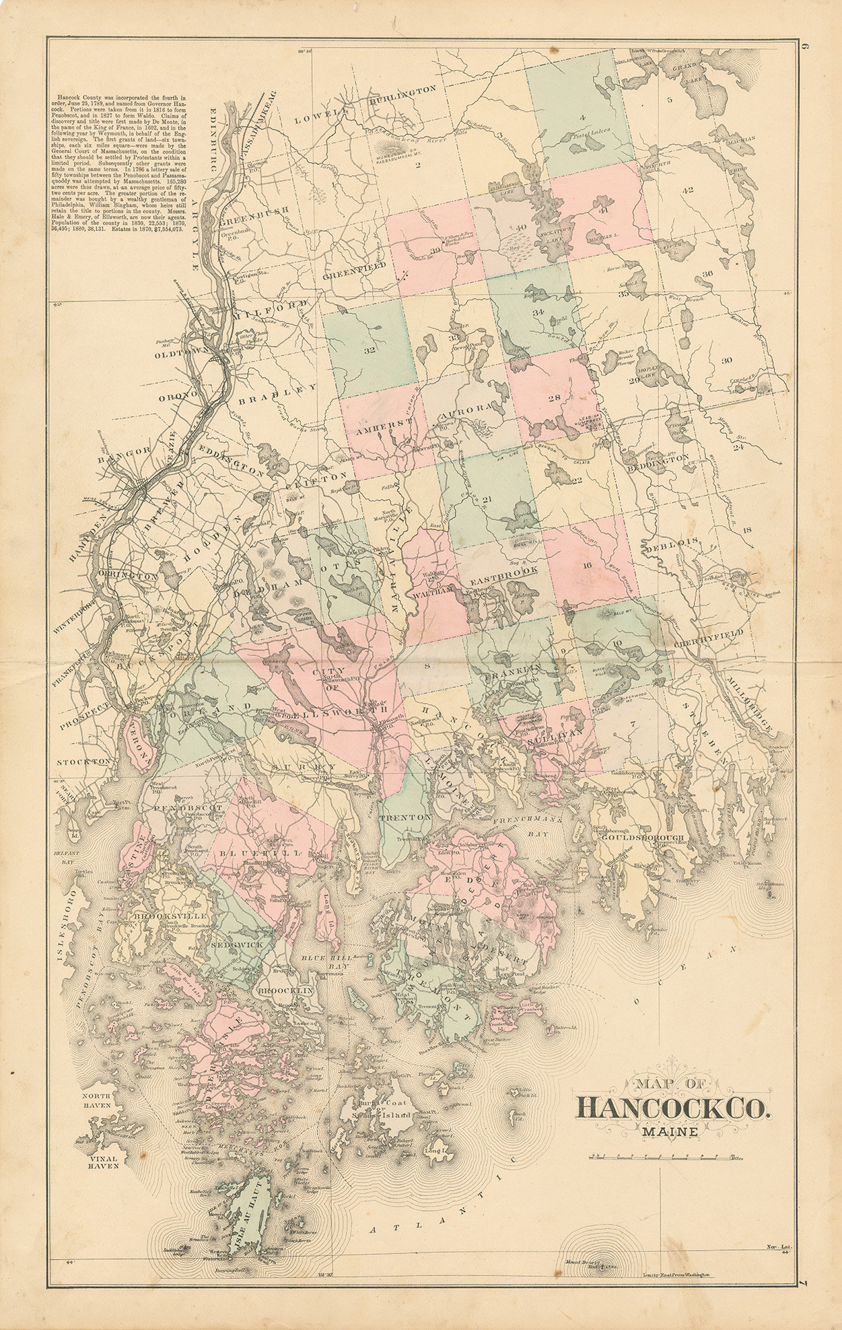
A Map of Hancock County, Maine GOLD and SILVER MINES, from a Atlas of Hancock County, Maine, published in 1881 by S. F. Colby and Company.
Placer gold can be found throughout the state of Maine. Although some small lode deposits have been discovered, most of the gold will be found by panning and sluicing in the creeks and rivers. The western part of Maine is best known for gold mining, although small amounts of gold can be found throughout the state. Much of the placer deposits are very fine dust, and careful panning is required to contain to small gold. It is possible to find larger “picker” sized pieces of gold, as well as the occasional nugget for the hard working gold prospector.
Please feel free to use our high resolution version of this map for your research or just to inspect it, If you are interested in purchasing the original map, the unedited scan of the map can be viewed here: please copy and paste this url into a new tab in your browser:
https://rmicusec.sirv.com/etsy/hancock_county_maine_1881/010_HNCKME1881.jpg
GENUINE ORIGINAL Dimensions of the Map are: 17.5" by 27".
The GENUINE ORIGINAL version of this map is available for $125.
FRAMED ORIGINAL maps include: museum quality backing board, UV filtering glass, and your choice of mouldings, wired and ready to hang upon delivery.
Framed maps include drymounting, UV filtering glass, and your choice of six mouldings, wired and ready to hang upon delivery. All mouldings are approximately 1.5" wide. Please factor in an additional 3" to the listed size for framed items.
This map has been scanned From The ORIGINAL at 600 dpi using state of the art equipment {a Contex Large Format Scanner}. The replica map is printed on heavy matte fine art paper using archival pigment inks. This is one of over 5000 Original maps, charts and posters in our collection.
Many reproduction maps that are available on Etsy are taken directly from public domain sources {NY Public Library, Library of Congress, etc}. Although great for research purposes, these image files frequently suffer from poor color accuracy, lens blur and distortion. The maps in our collection have been scanned from the ORIGINAL, flat, at high resolution and with precisely calibrated color. This allows us to prints replicas that are virtually indistinguishable from the original maps.
All sizes are approximate, we round up or down to the nearest inch.
Custom sizes are available. If you are interested in a custom size, please let us know through the "ask a question" button in this listing.
Retailers who would like to carry our Maps, please contact us through the "ask a question" button in this listing, for information and discounts.
010-HCME81
Shipping from United States
Processing time
1-3 business days
Customs and import taxes
Buyers are responsible for any customs and import taxes that may apply. I'm not responsible for delays due to customs.
Payment Options
Returns & Exchanges
Returns & exchanges not accepted
But please contact me if you have problems with your order
I gladly accept cancellations
Request a cancellation within: 1 hours of purchase