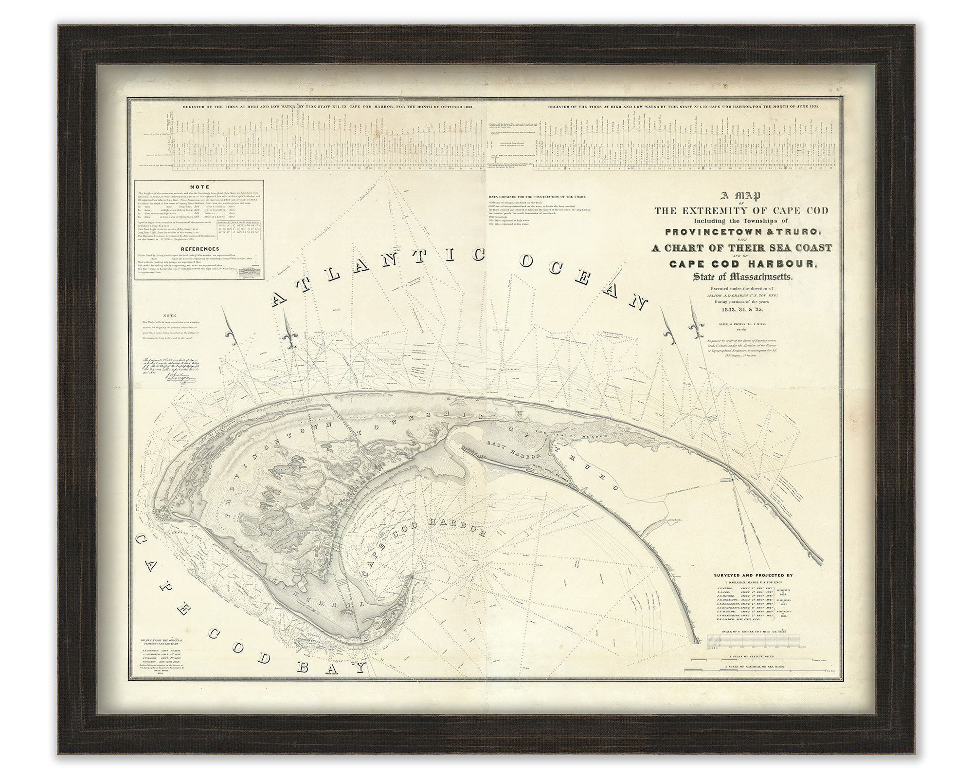
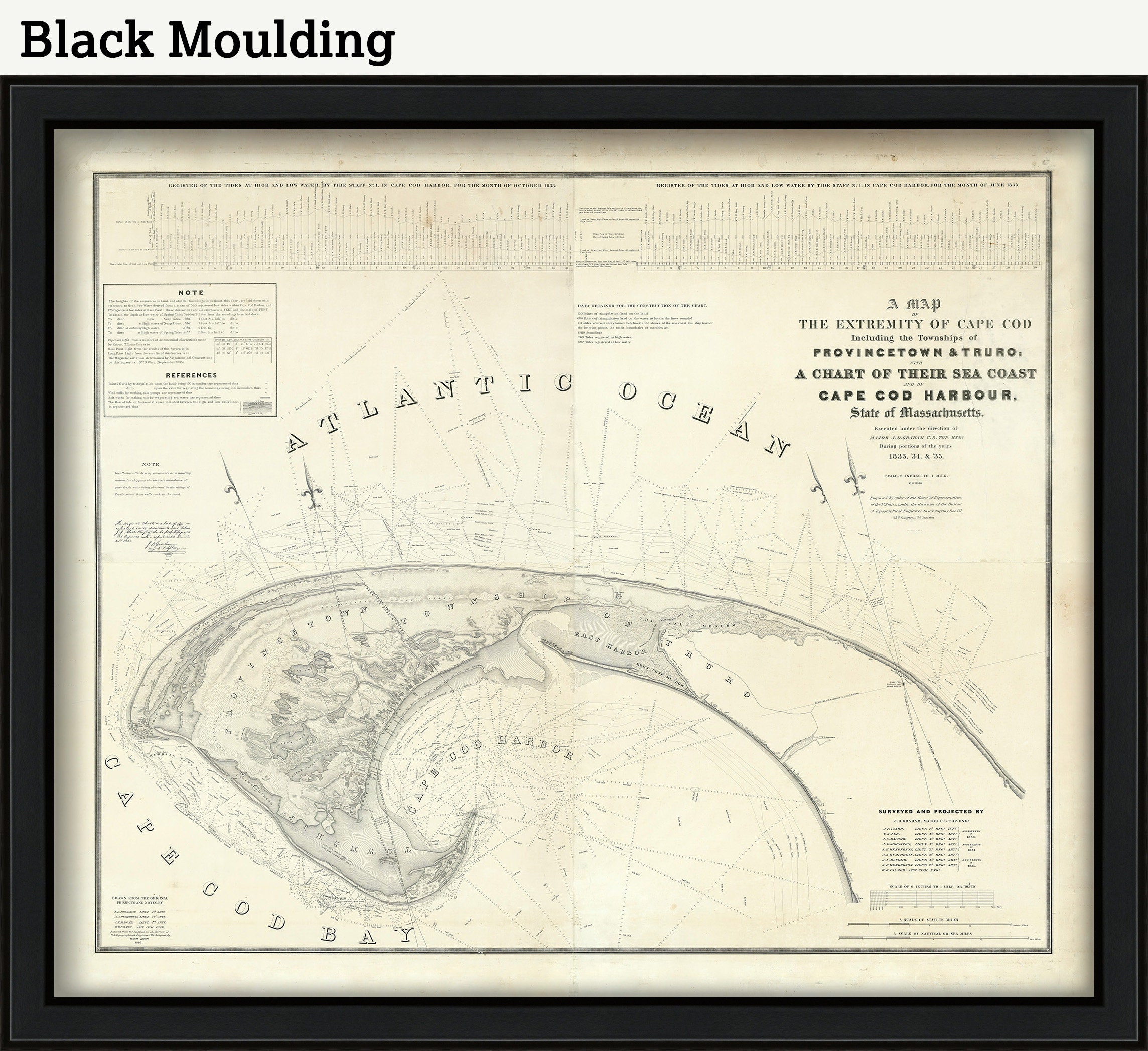
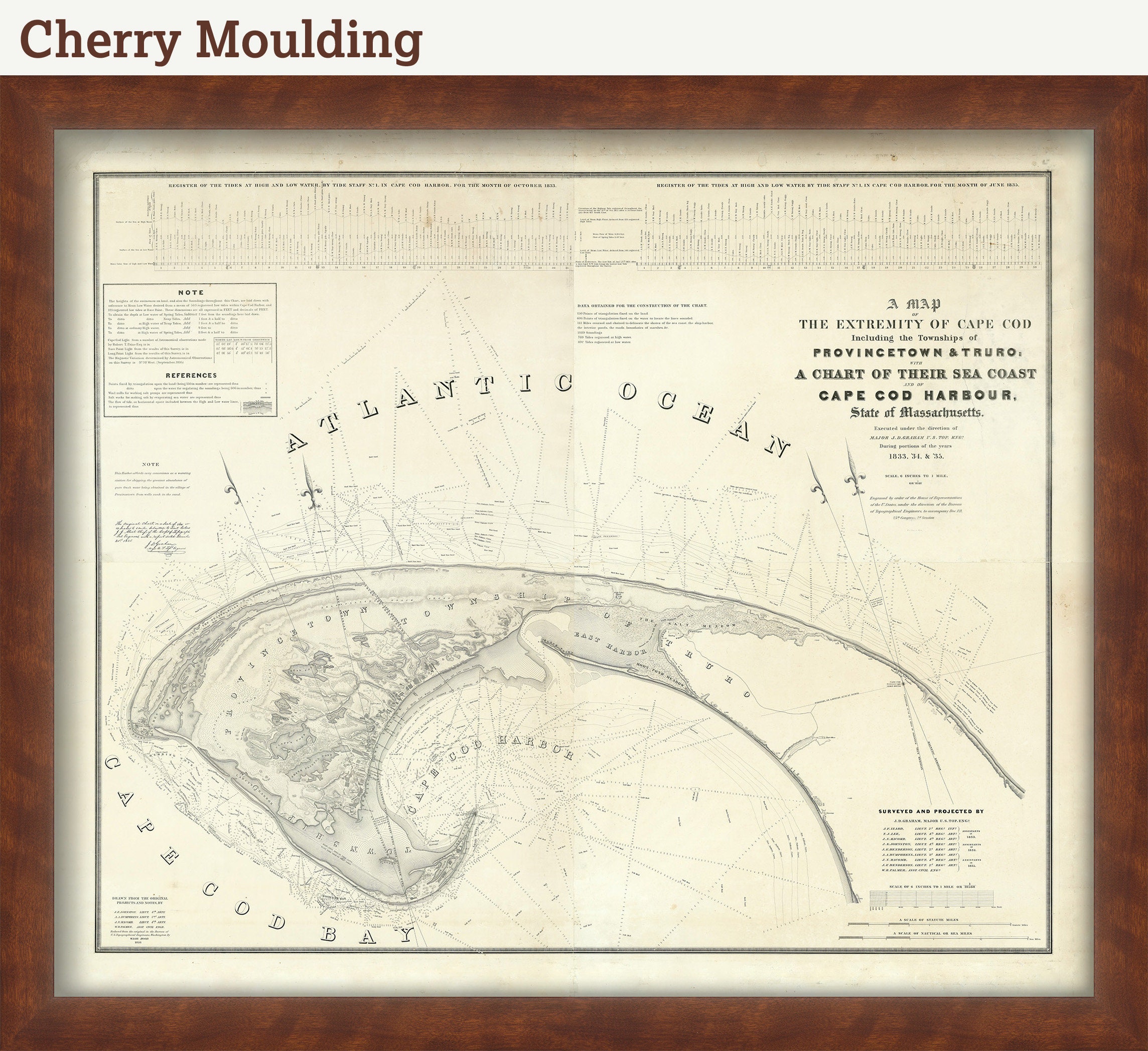
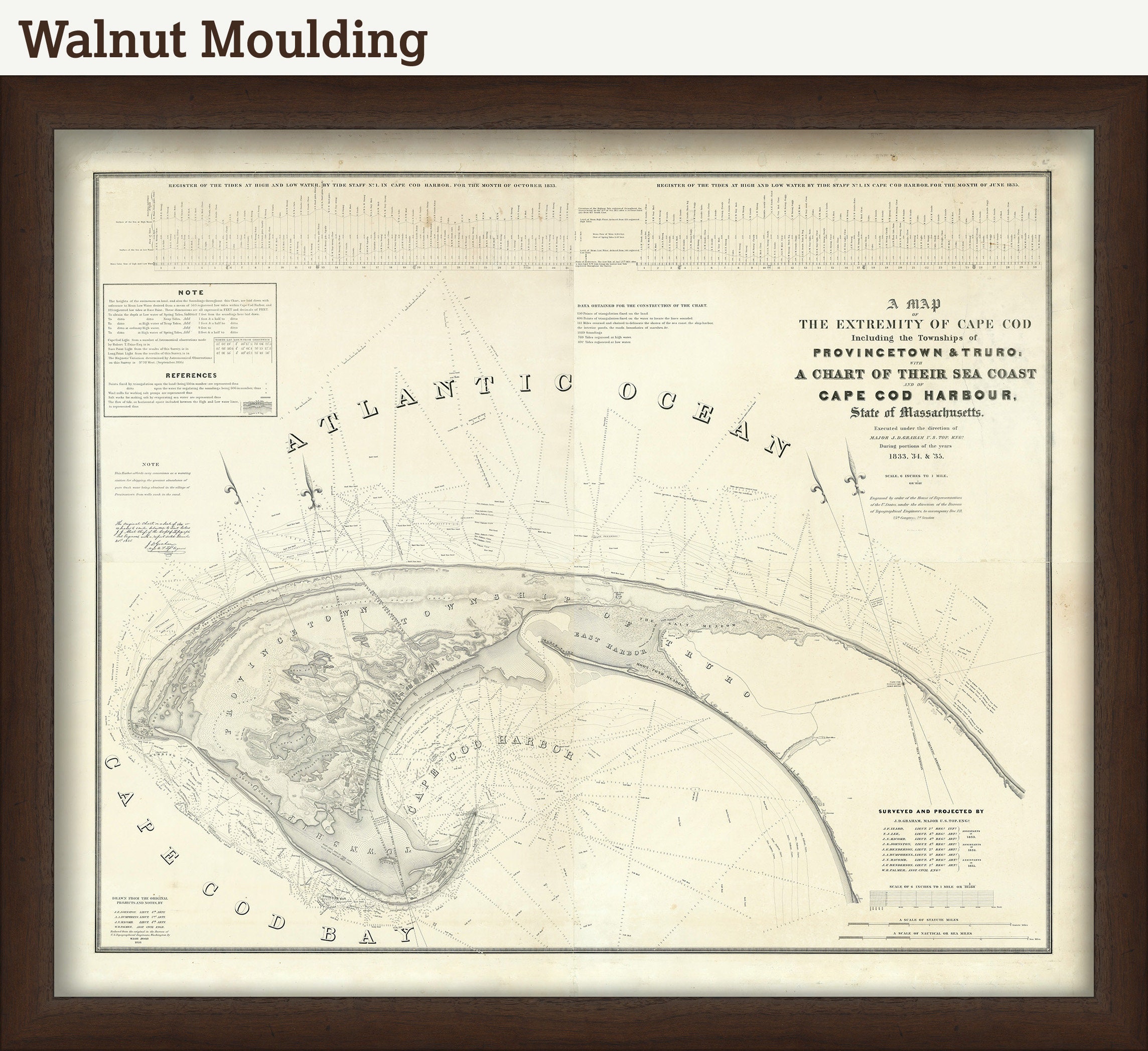
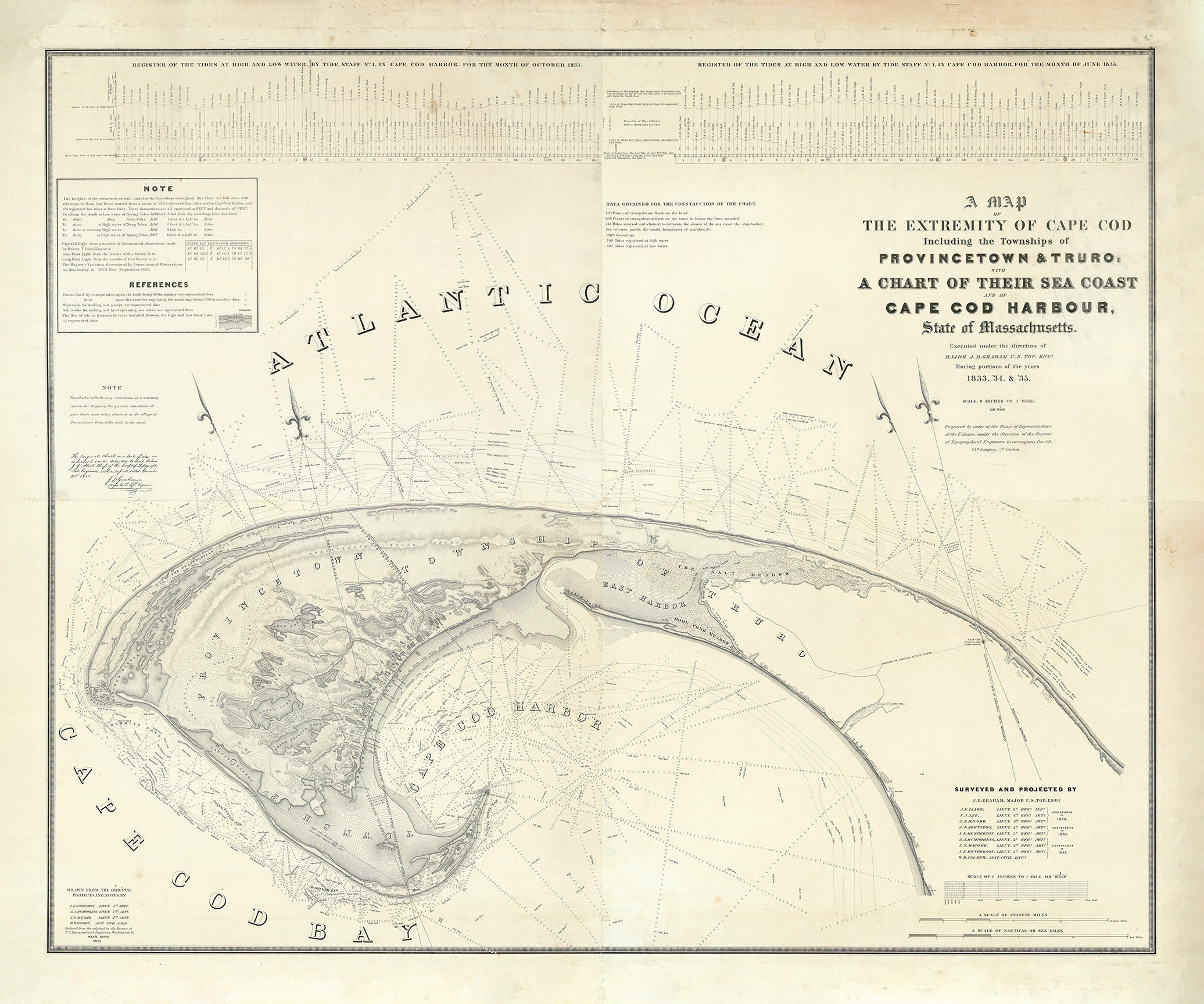
PROVINCETOWN and TRURO, Massachusetts 1836 - A Map of the Extremities of Cape Cod
$50.00
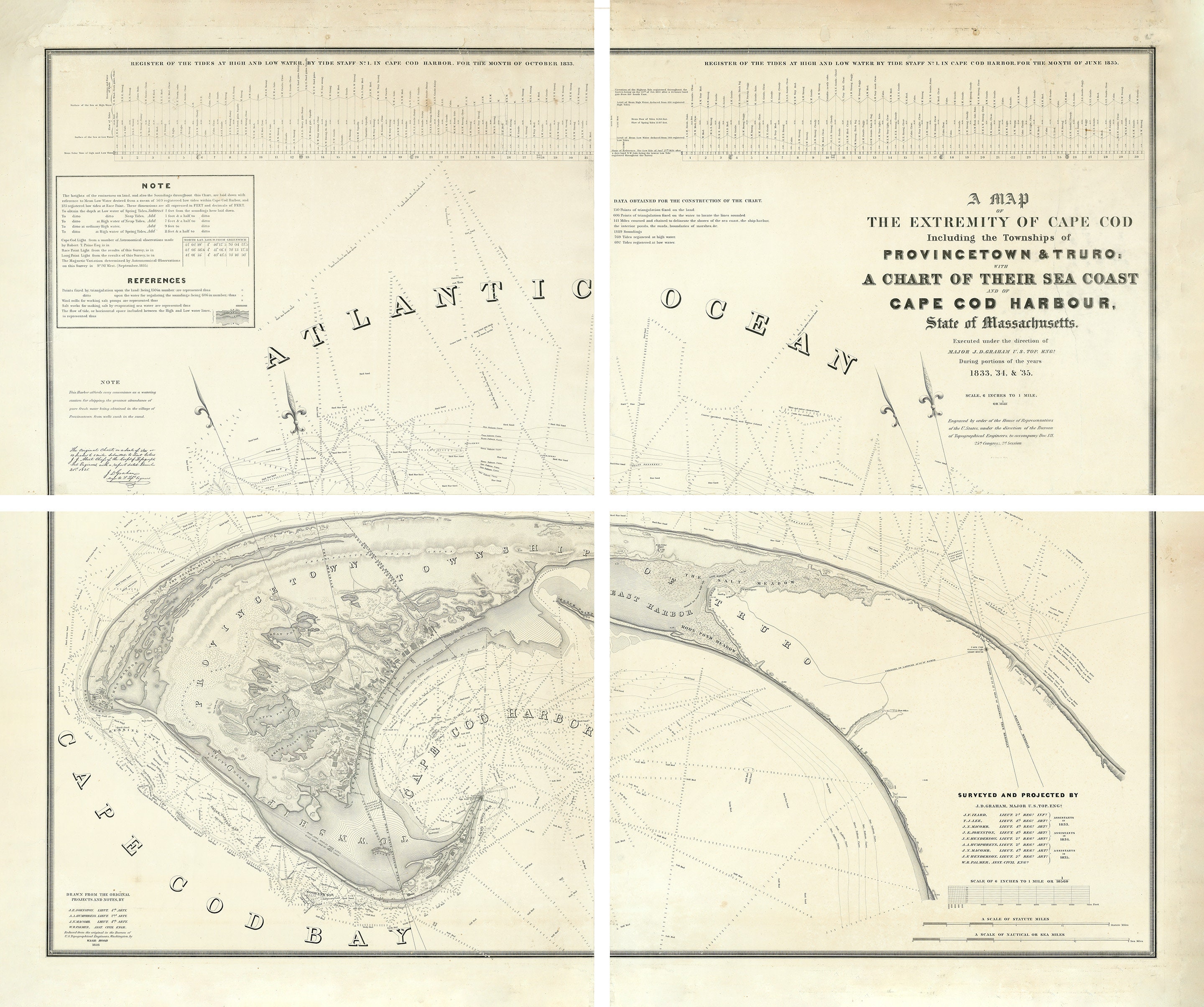
A reproduction of a map of the towns of Provincetown and Truro, Massachusetts, at the extremity of Cape Cod. The original map was printed in 4 large panels and was one of the earliest, largest, and most detailed wall maps produced in the United States during the early part of the nineteenth century. The size of the original map was approximately 78" x 65". The two largest sizes we offer (60" x 50" and 78" x 65") will ship in 4 separate panels.
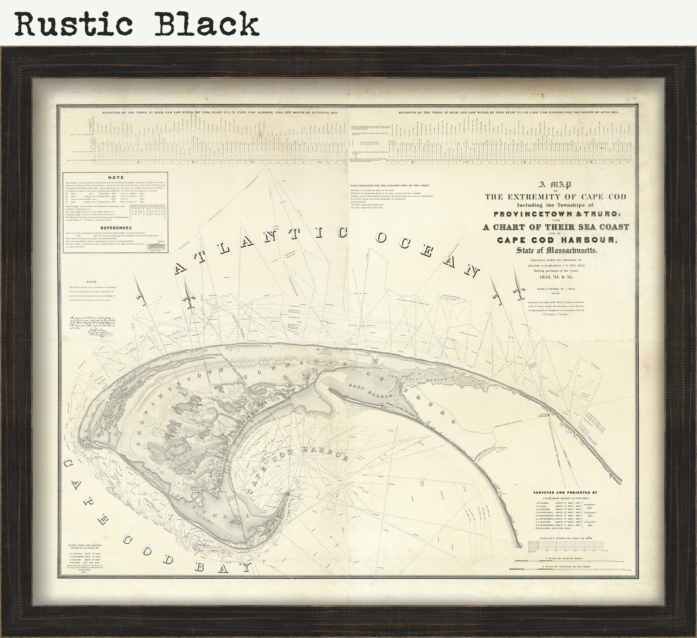
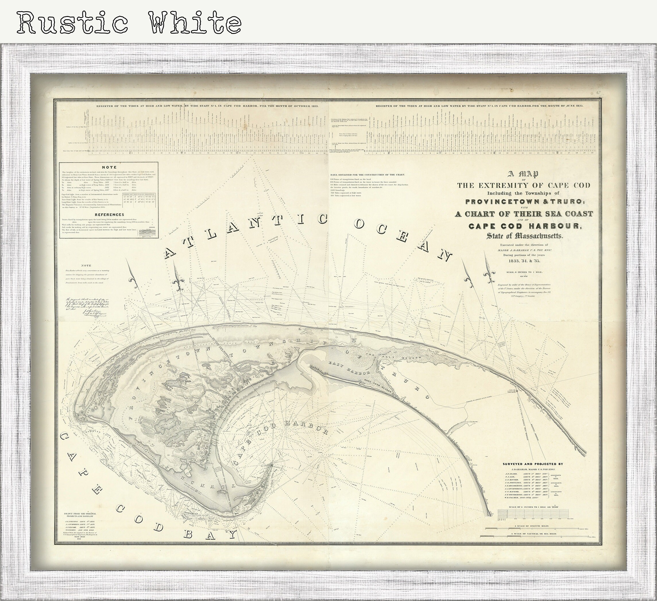
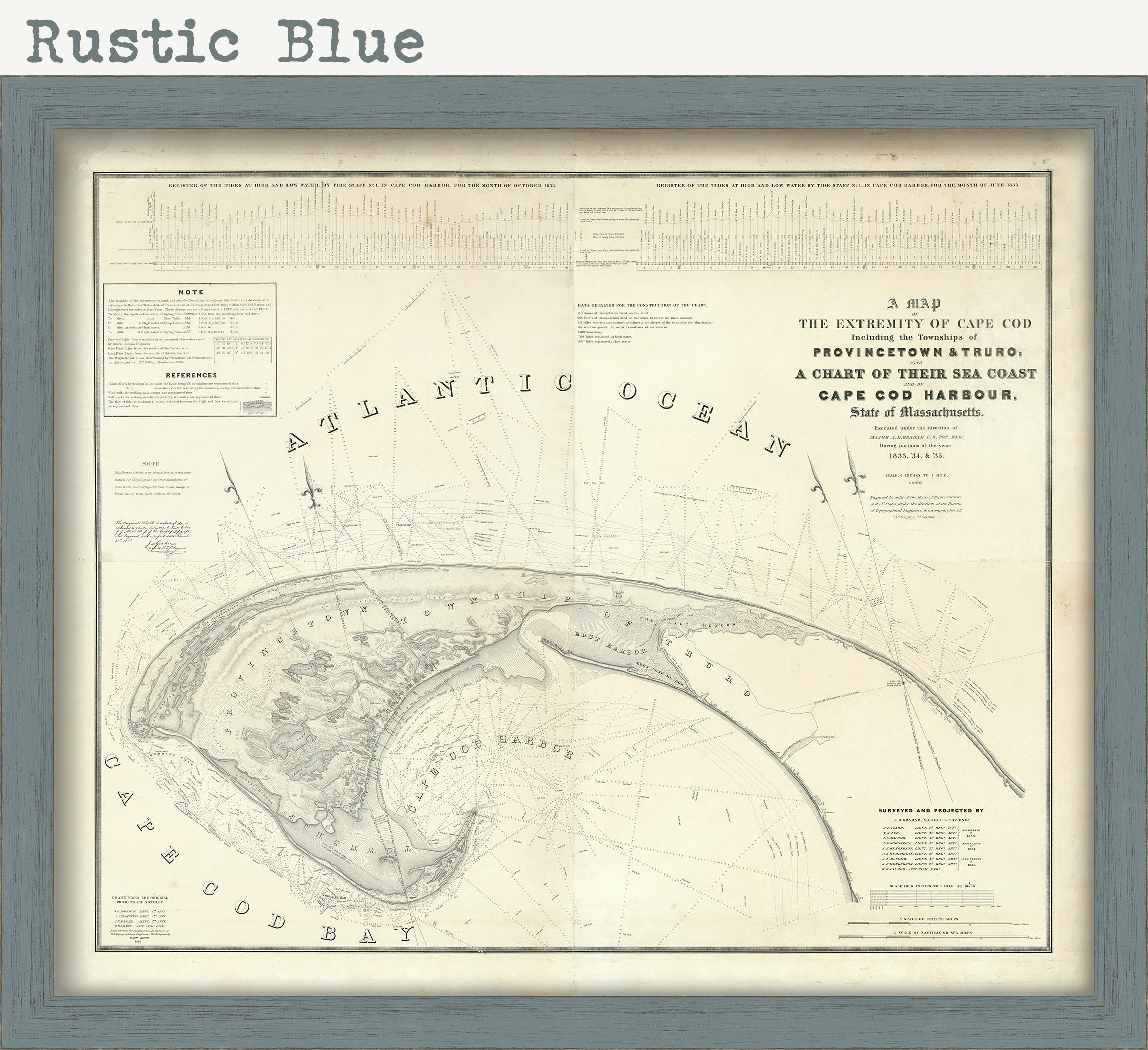
Framed maps include dry mounting, UV filtering glass, and your choice of six mouldings, wired and ready to hang upon delivery. All mouldings are approximately 1.5" wide. Please factor in an additional 3" to the listed size for framed items.
This map has been scanned From the original at 600 dpi using state of the art equipment. The replica map is printed on heavy matte fine art paper using archival pigment inks. This is one of over 5000 Original maps, charts and posters in our collection.
Custom sizes are available. If you are interested in a custom size, please let us know
2433
Shipping from United States
Processing time
1-3 business days
Customs and import taxes
Buyers are responsible for any customs and import taxes that may apply. I'm not responsible for delays due to customs.
Payment Options
Returns & Exchanges
Returns & exchanges not accepted
But please contact me if you have problems with your order
I gladly accept cancellations
Request a cancellation within: 1 hours of purchase
Reviews (3)
Average:
Sep 11, 2023
Map is amazing quality and sent quickly. Packed perfectly. Thank you so much! Framed it and hung it up right away
Angelina Fay
Mar 31, 2022
The map was beautifully printed, framing is gorgeous, and it was wrapped to withstand the worst that a shipping company could do to it and emerge unscathed. Really a great all around purchase.
Rob Hahn
Dec 28, 2021
Very happy with the quality and framing
Sharon Santangelo