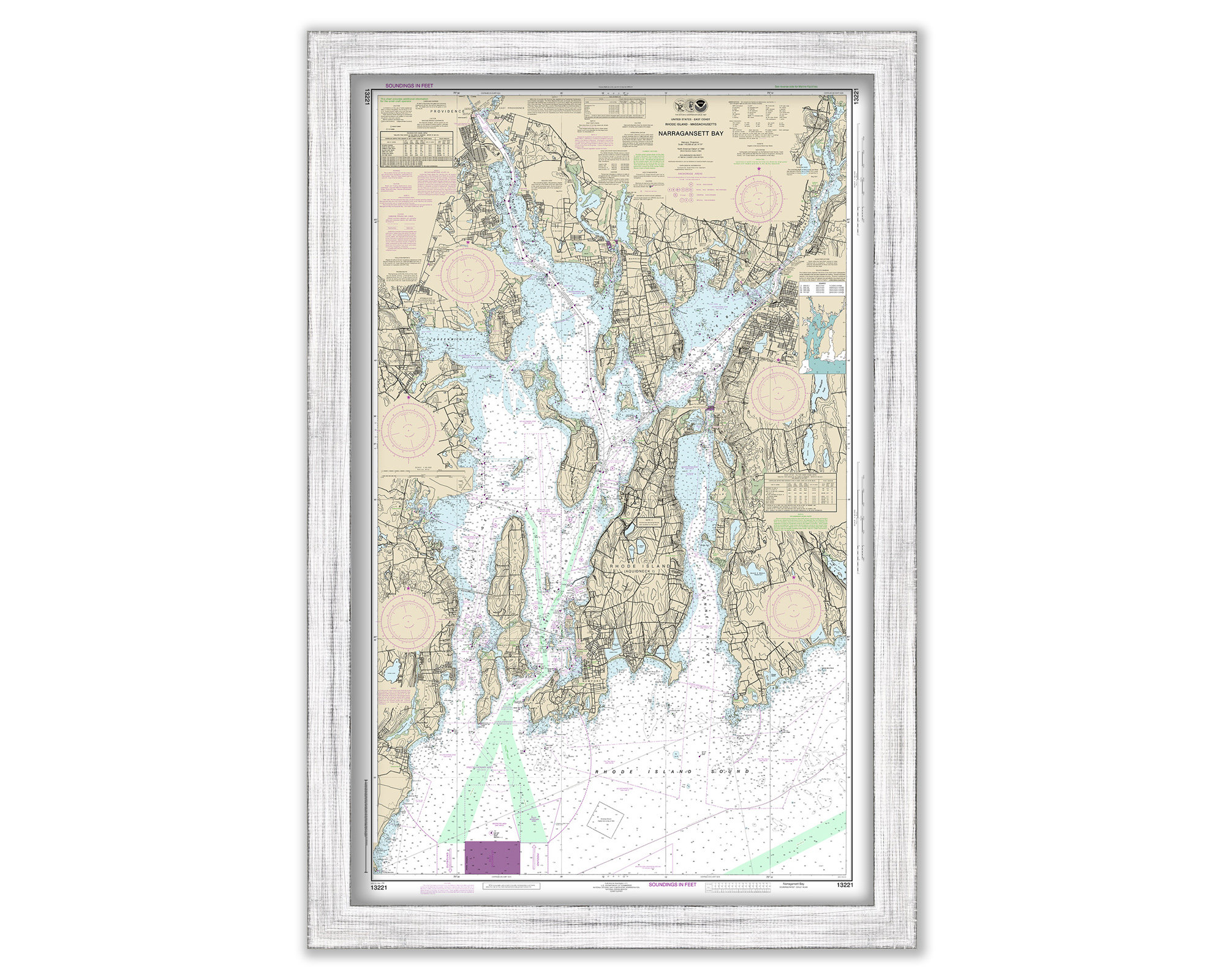
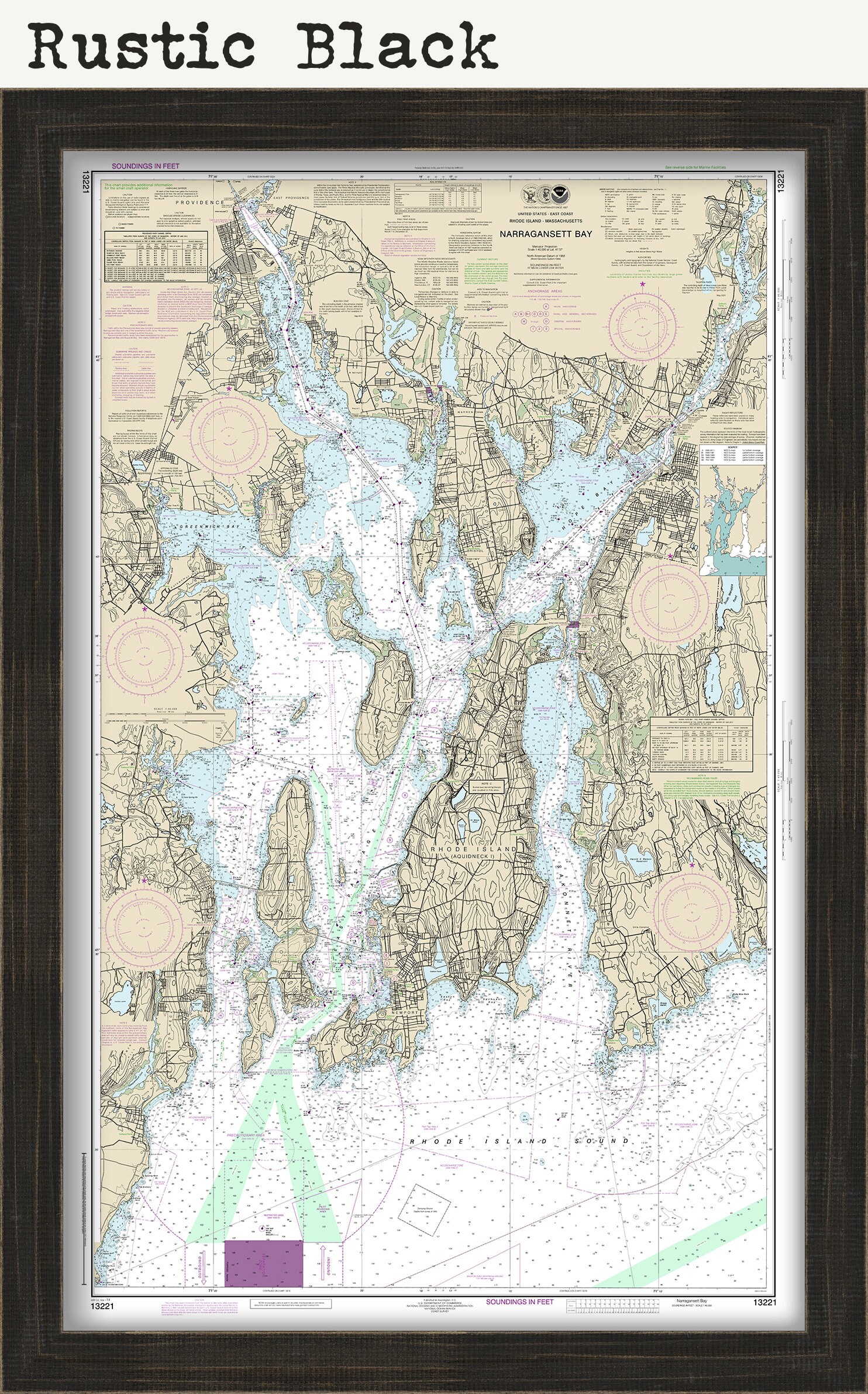
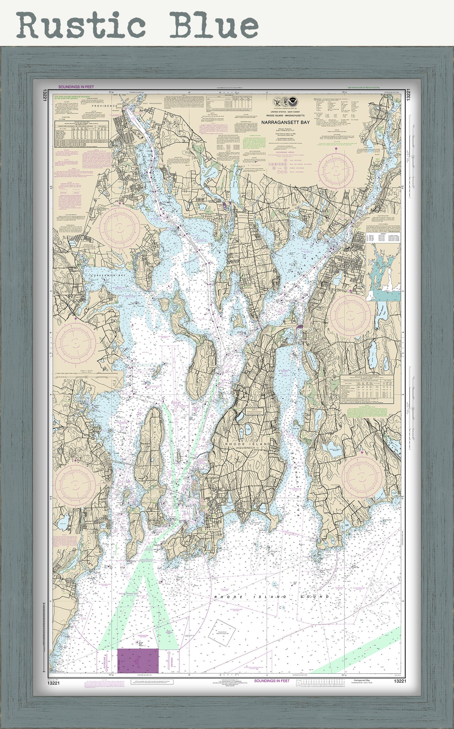
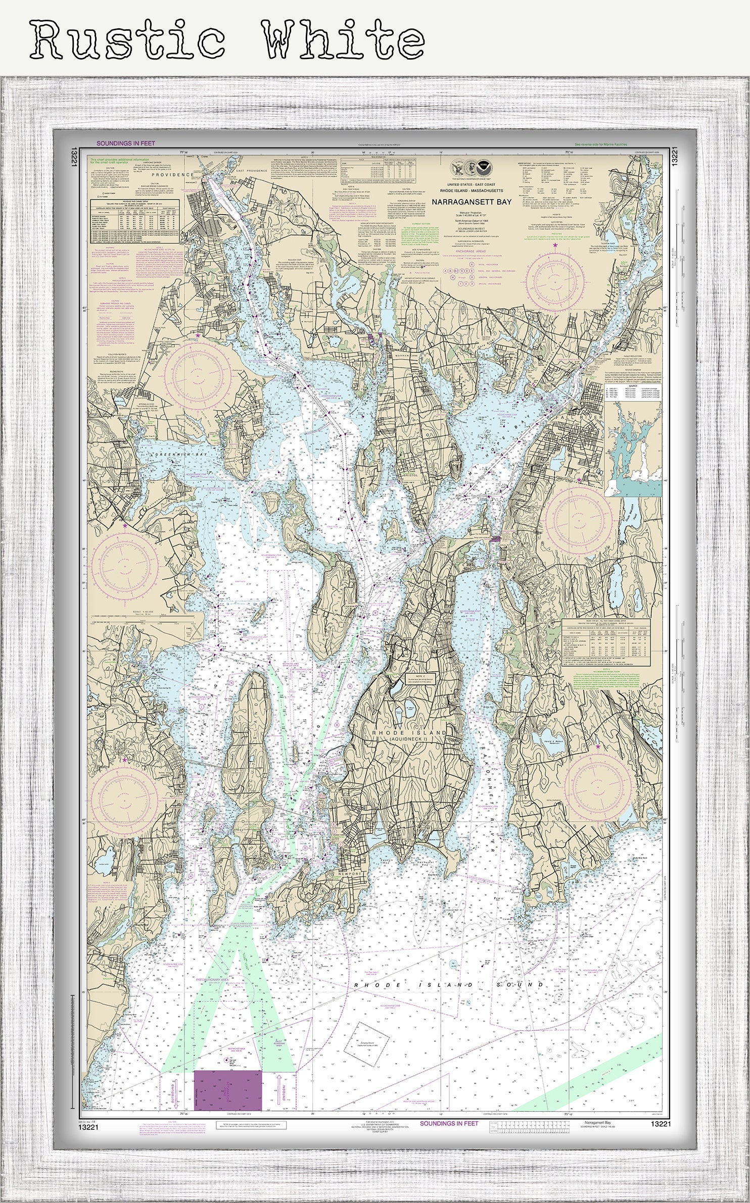
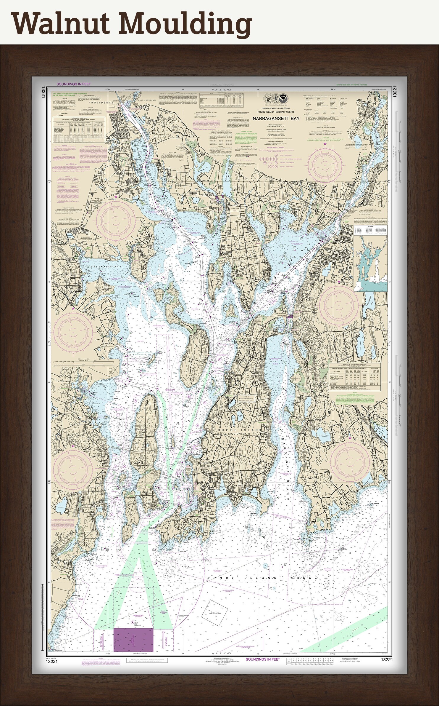
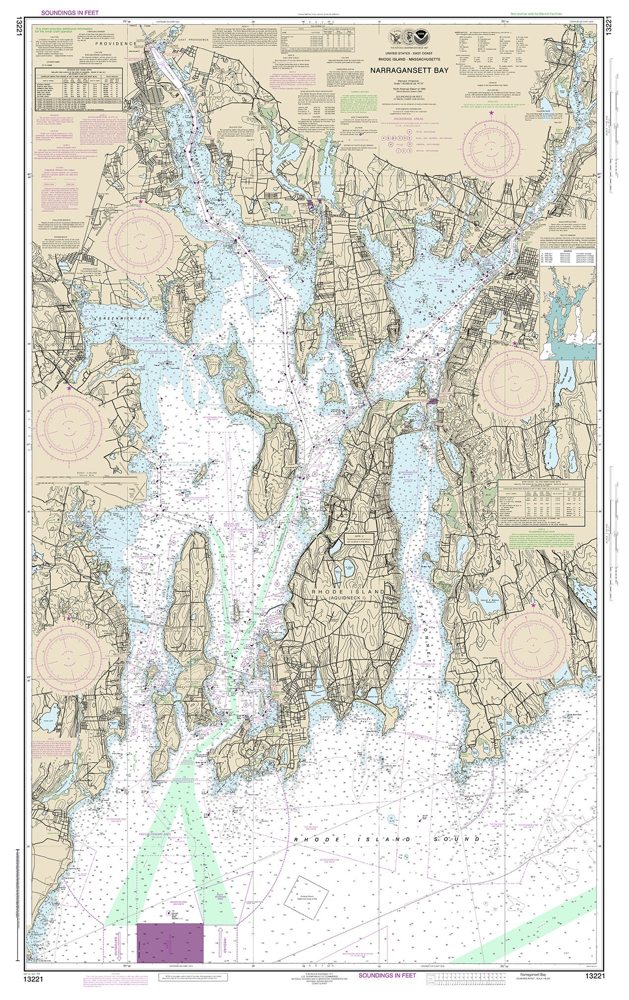
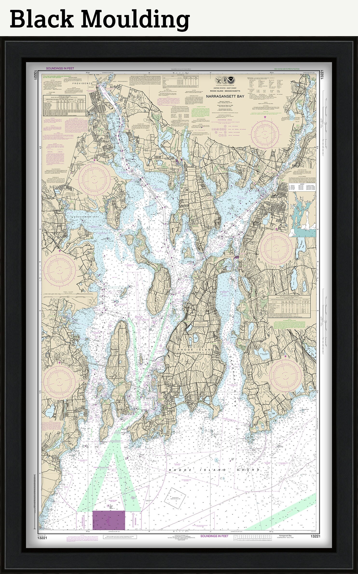
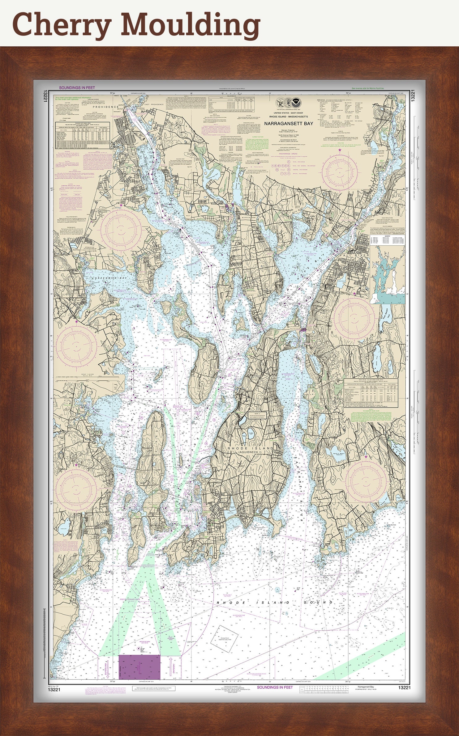

NARRAGANSETT BAY, Rhode Island - Nautical Chart by NOAA 2018
$38.00
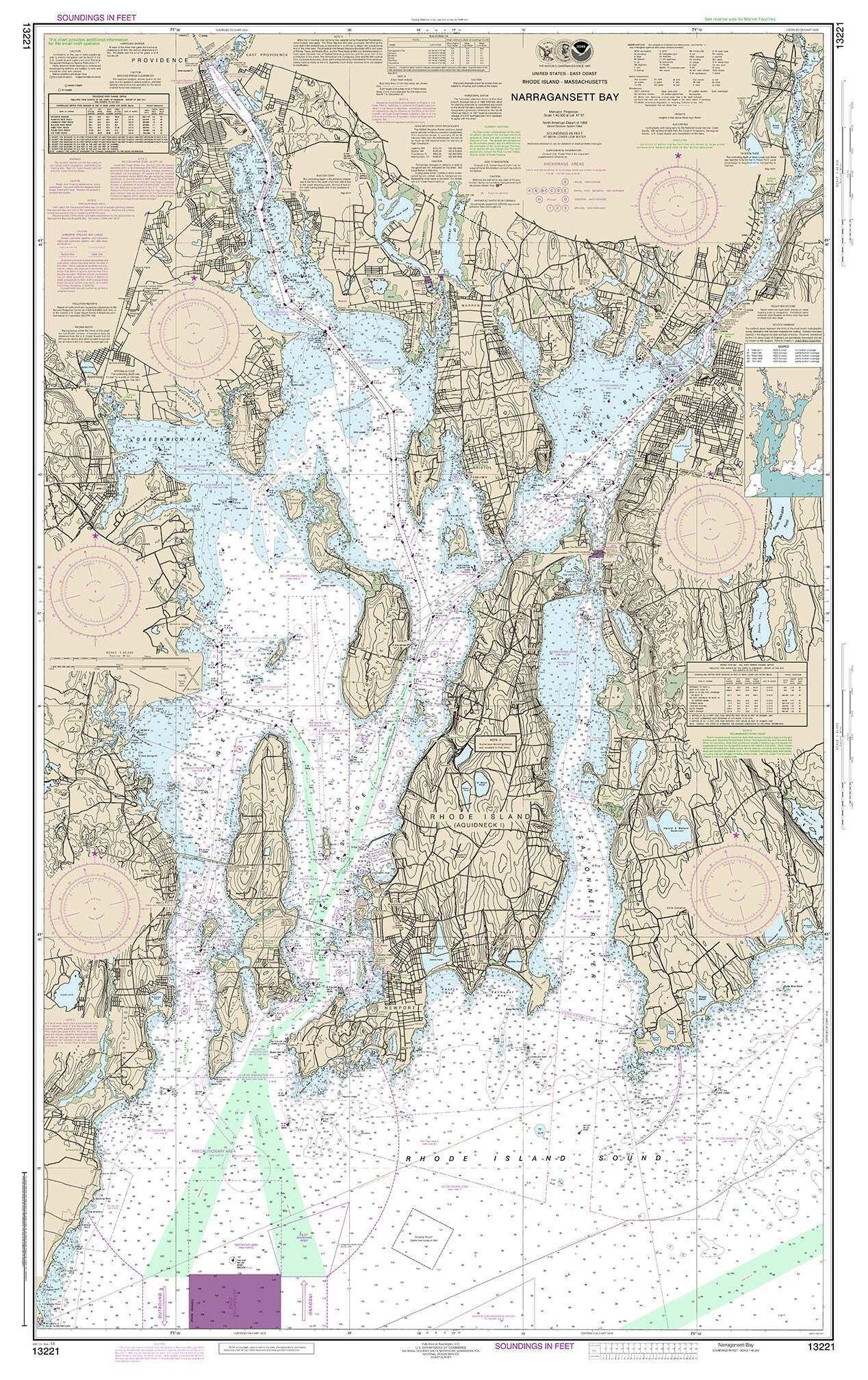
A Nautical Chart of NARRAGANSETT BAY, Rhode Island by NOAA 2018.
This MAP is printed on heavy matte fine art paper with archival inks.
Framed replica maps include dry mounting, UV filtering glass, and your choice of six mouldings, wired and ready to hang upon delivery. All mouldings are approximately 1.5" wide. Please factor in an additional 3" to the listed size for framed items.
Custom sizes are available. If you are interested in a custom size, please let us know through the "ask a question" button in this listing.
Retailers who would like to carry our Maps, please contact us through the "ask a question" button in this listing, for information and discounts.
In 1807, President Thomas Jefferson signed a bill for the "Survey of the Coast," thus establishing the United States Coast Survey. In its early decades, the Coast Survey was responsible for charting the coastlines. In 1970 the Coast Survey became part of NOAA.
1164
Shipping from United States
Processing time
1-3 business days
Customs and import taxes
Buyers are responsible for any customs and import taxes that may apply. I'm not responsible for delays due to customs.
Payment Options
Returns & Exchanges
Returns & exchanges not accepted
But please contact me if you have problems with your order
I gladly accept cancellations
Request a cancellation within: 1 hours of purchase
Reviews (12)
Average:
Oct 31, 2025
Great high quality product matching description and expectations.
David
Dec 20, 2024
Beautiful map. Exactly as described. Arrived incredibly fast. Thank you!
Diana L
Sep 14, 2024
Exactly as expected. Very nice
Peter
Jun 24, 2023
This seller worked with me to match a previous purchase. I wanted the new map to be complimentary to an map I bought a few years ago. He did a mock up of the new purchase to ensure I would be happy with it. I am 100% satisfied with this purchase. I will likely be a returning customer again!
Dianna Shaw
Jan 14, 2023
Jayme Cherry