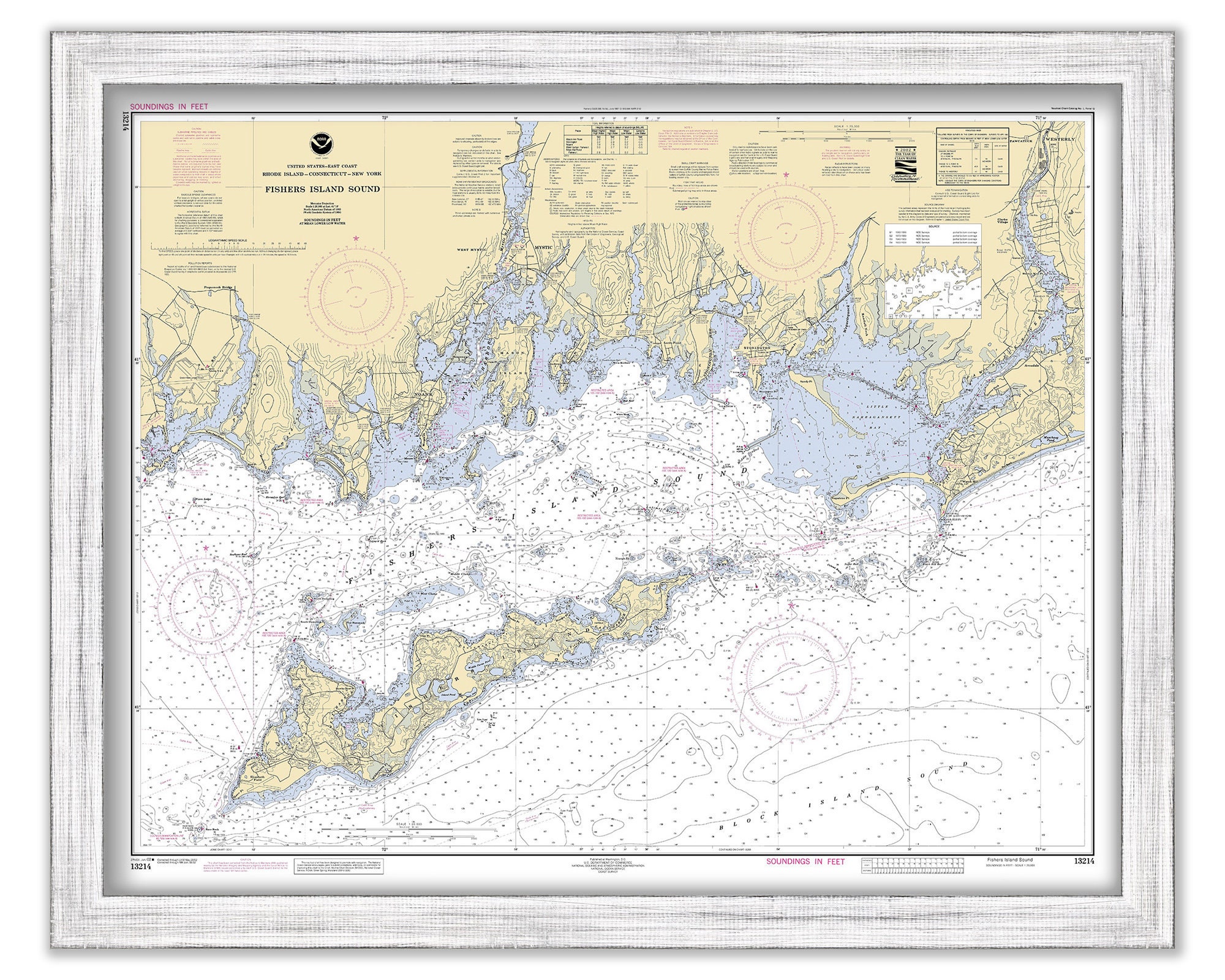
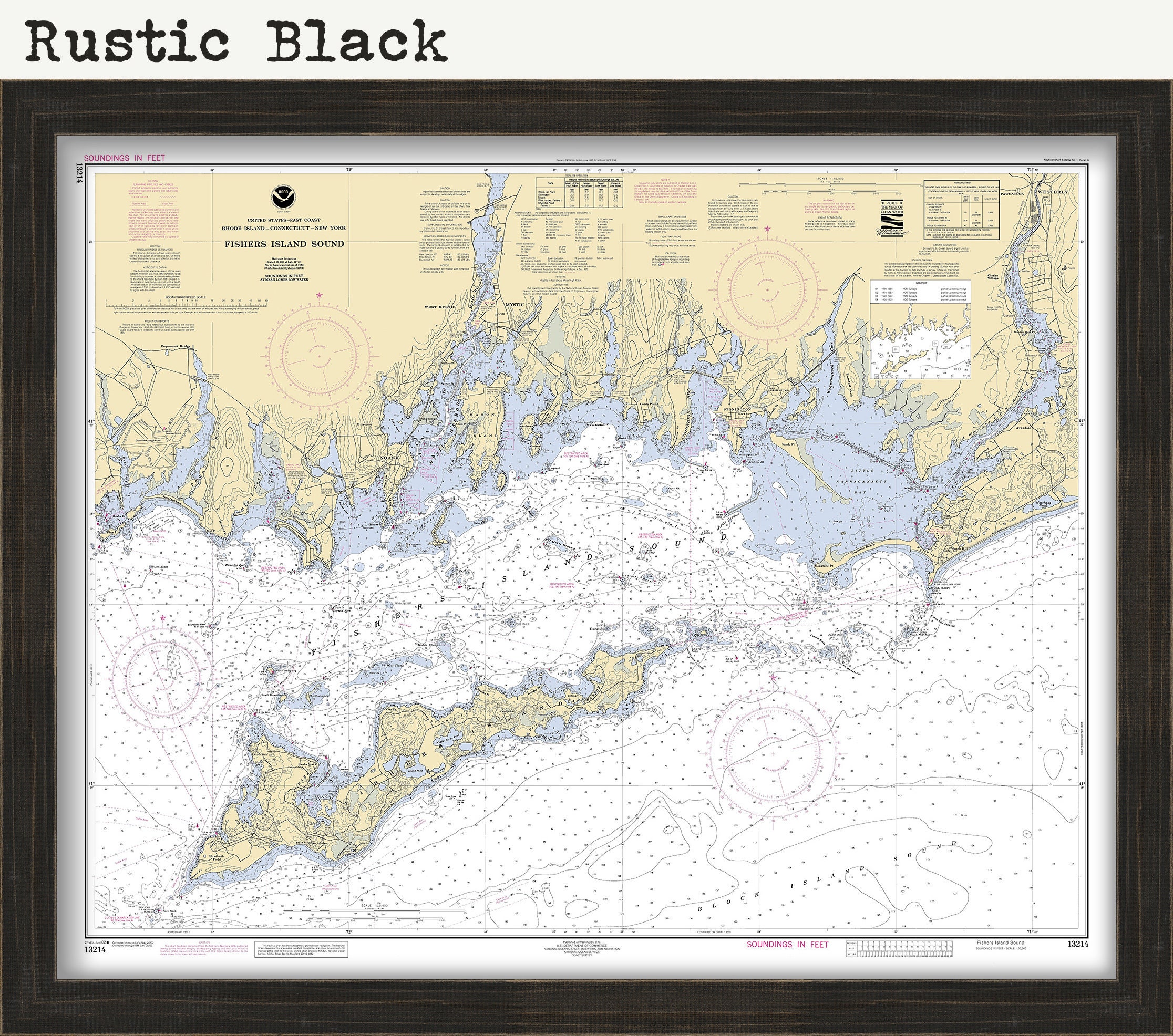
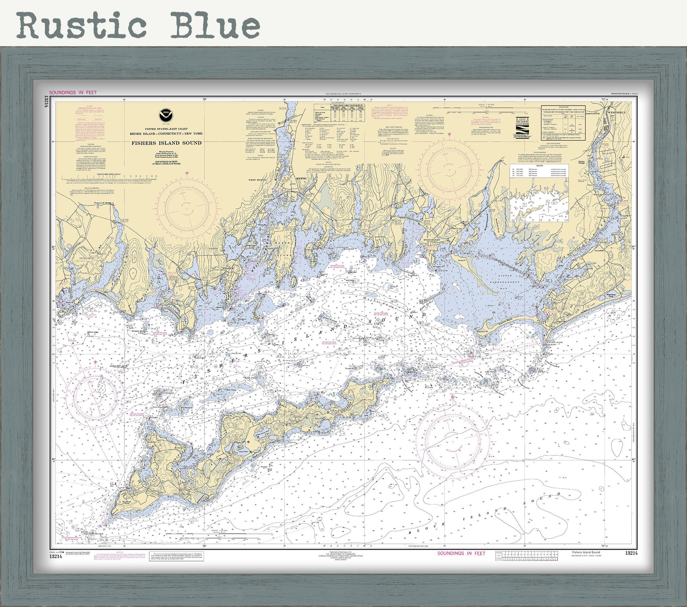

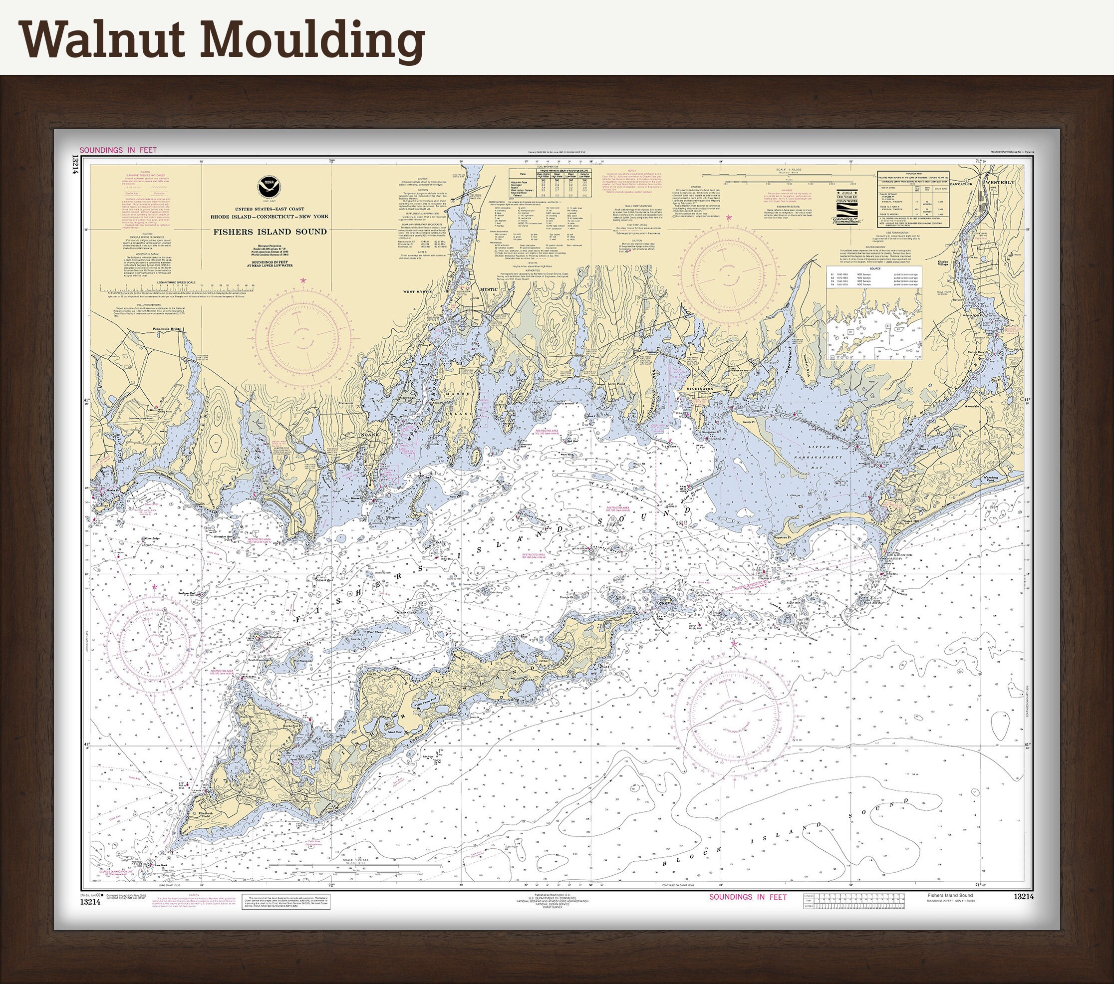
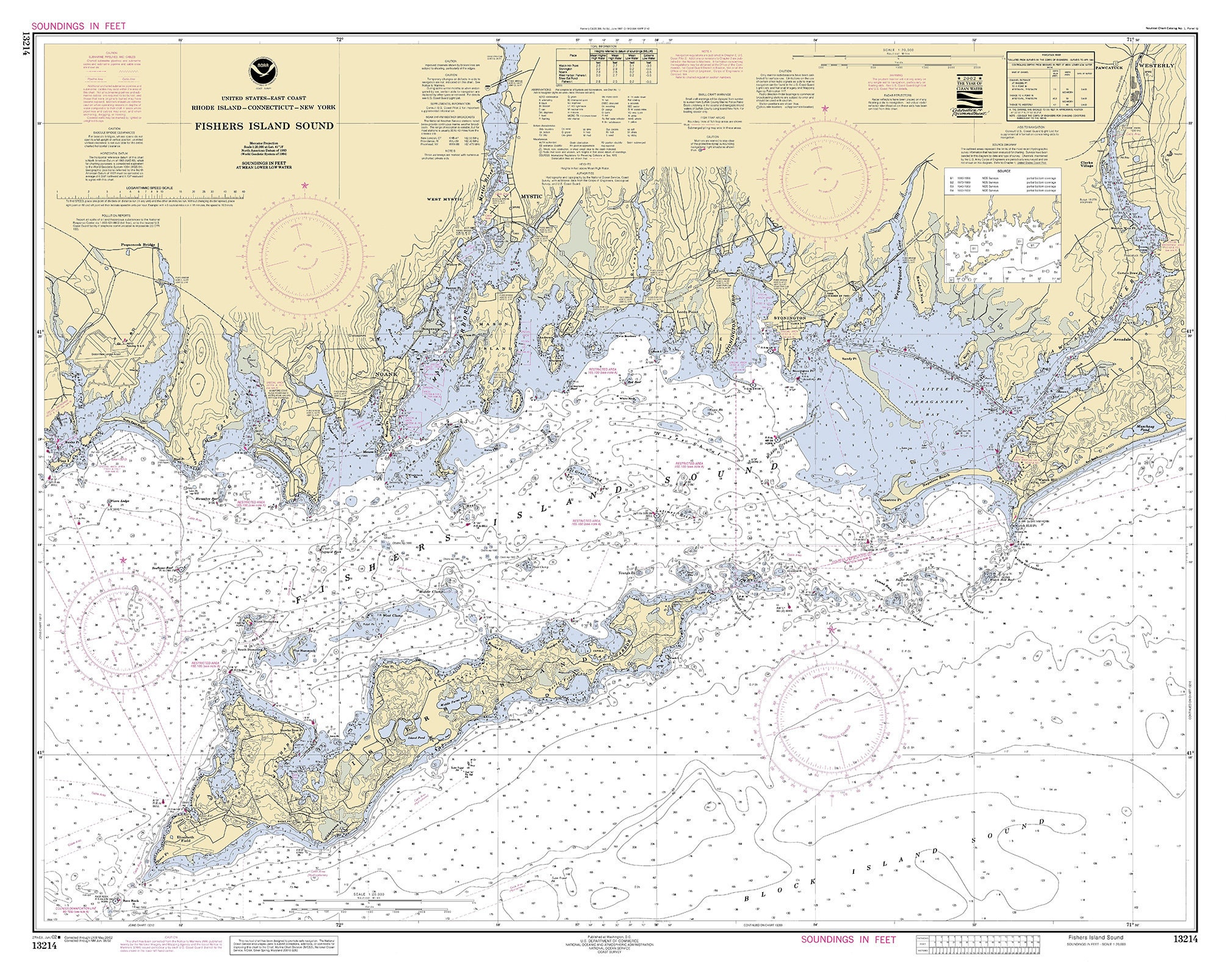
A Reproduction Nautical Chart of FISHERS ISLAND SOUND by NOAA originally published in 2002.
This image is printed on heavy matte fine art paper with archival inks.
Framing is Available
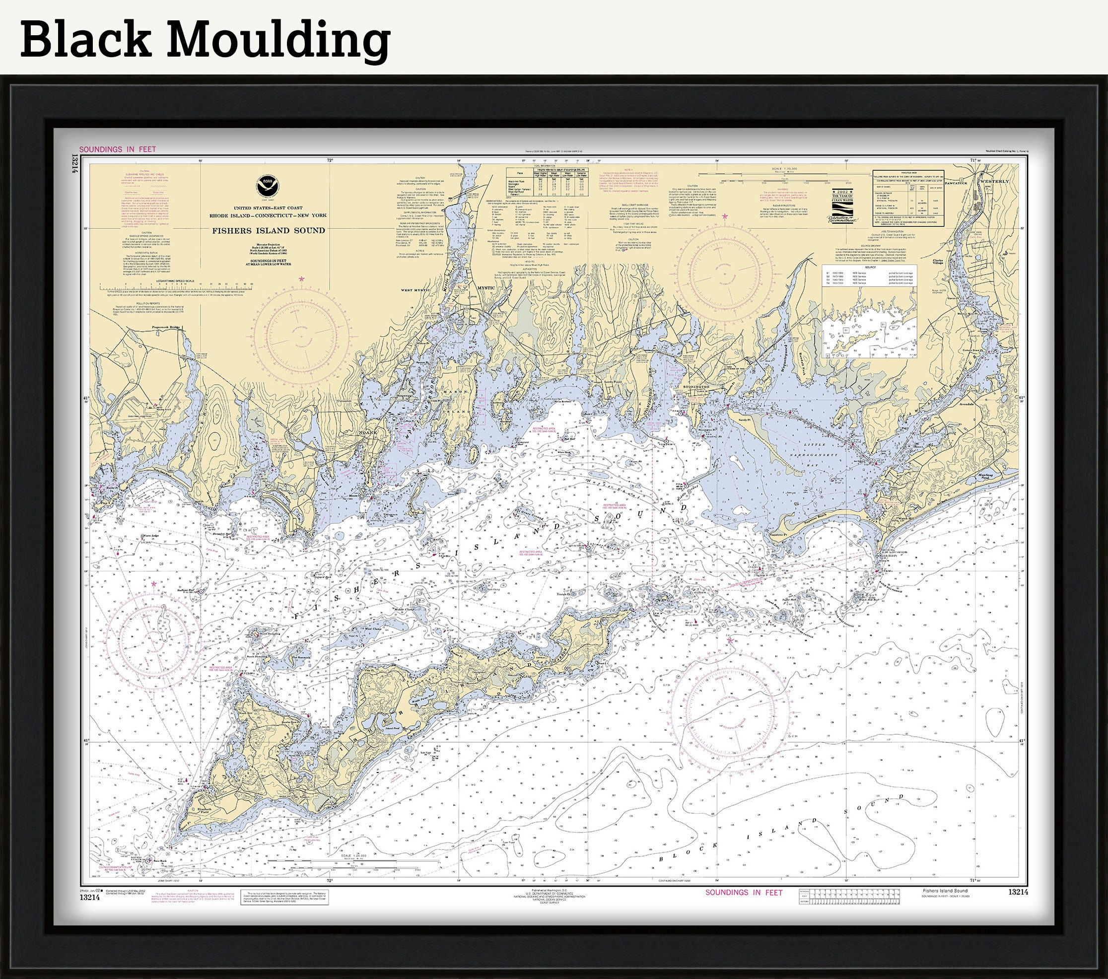
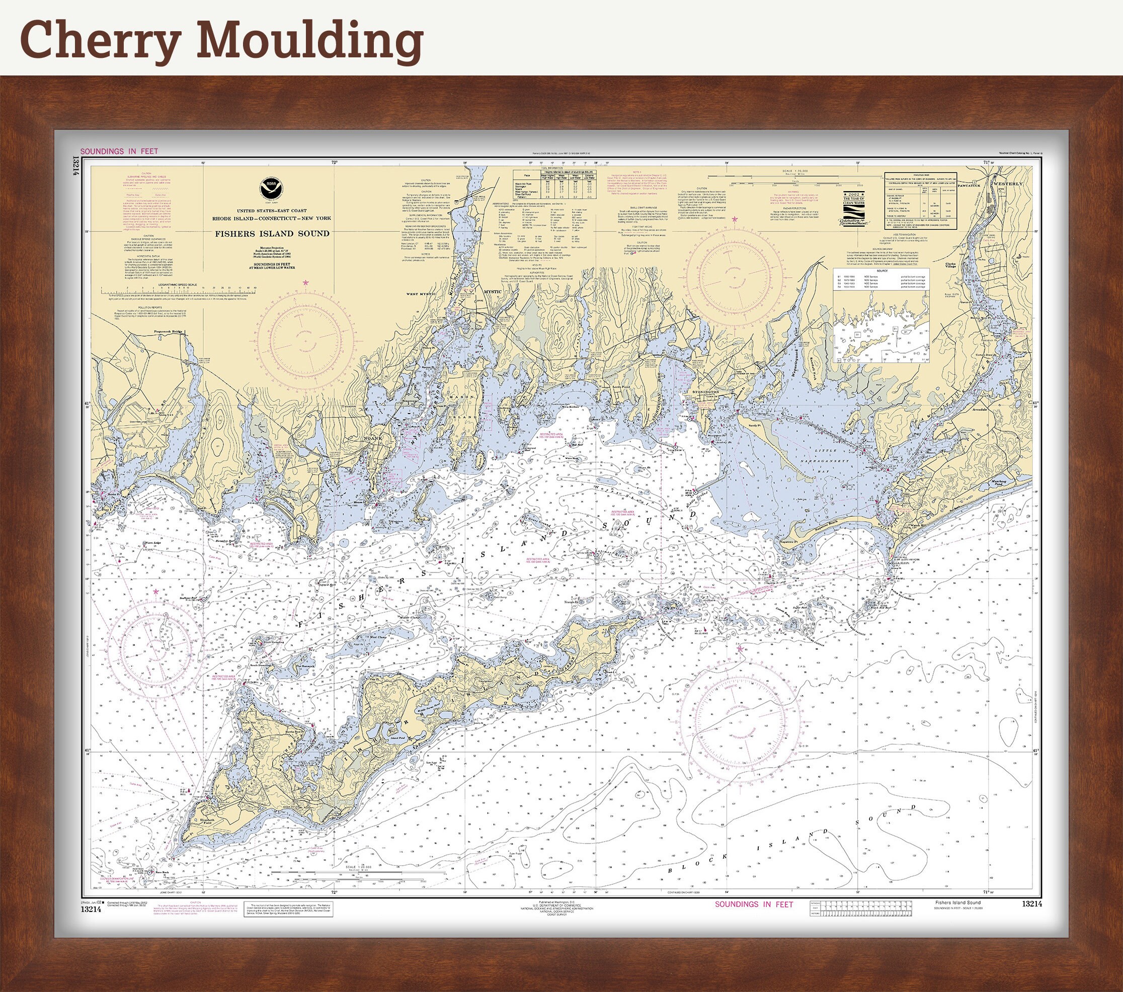
Framed maps include drymounting, UV filtering glass, and your choice of six mouldings, wired and ready to hang upon delivery. All mouldings are approximately 1.5" wide. Please factor in an additional 3" to the listed size for framed items.
The original size of the chart is 44" wide by 35" tall
Custom sizes are available. If you are interested in a custom size, please let us know through the "ask a question" button in this listing.
Retailers who would like to carry our Maps, please contact us through the "ask a question" button in this listing, for information and discounts.
On February 10, 1807, President Thomas Jefferson signed "An Act to provide for surveying the coasts of the United States. "President Richard Nixon formed NOAA in 1970, bringing C&GS into the new scientific agency. Today, the Office of Coast Survey continues its traditional commitment to employing the highest levels of science and technology to improve marine safety and to tackle the new challenges of the 21st century.
0866
Shipping from United States
Processing time
1-3 business days
Customs and import taxes
Buyers are responsible for any customs and import taxes that may apply. I'm not responsible for delays due to customs.
Payment Options
Returns & Exchanges
Returns & exchanges not accepted
But please contact me if you have problems with your order
I gladly accept cancellations
Request a cancellation within: 1 hours of purchase
Reviews (4)
Average:
Jul 29, 2025
Great chart, excellent communication, fast shipping!
bolandmi
Jan 27, 2024
Quality map as pictured, framed
Kyle Nemchek
Jun 27, 2023
Better than I expected! Quality is super and shipping was lightning fast! Would definitely order again!
Sarah B
Nov 26, 2022
Great map, good quality, fast shipping.
Allison Maria