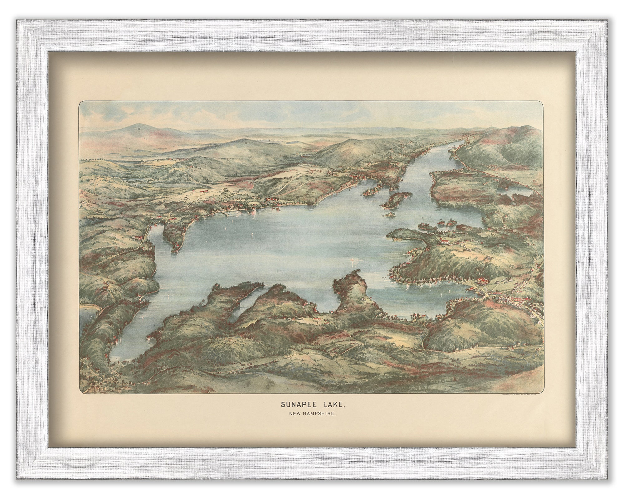
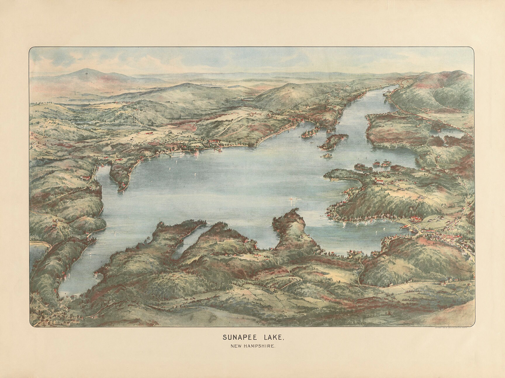
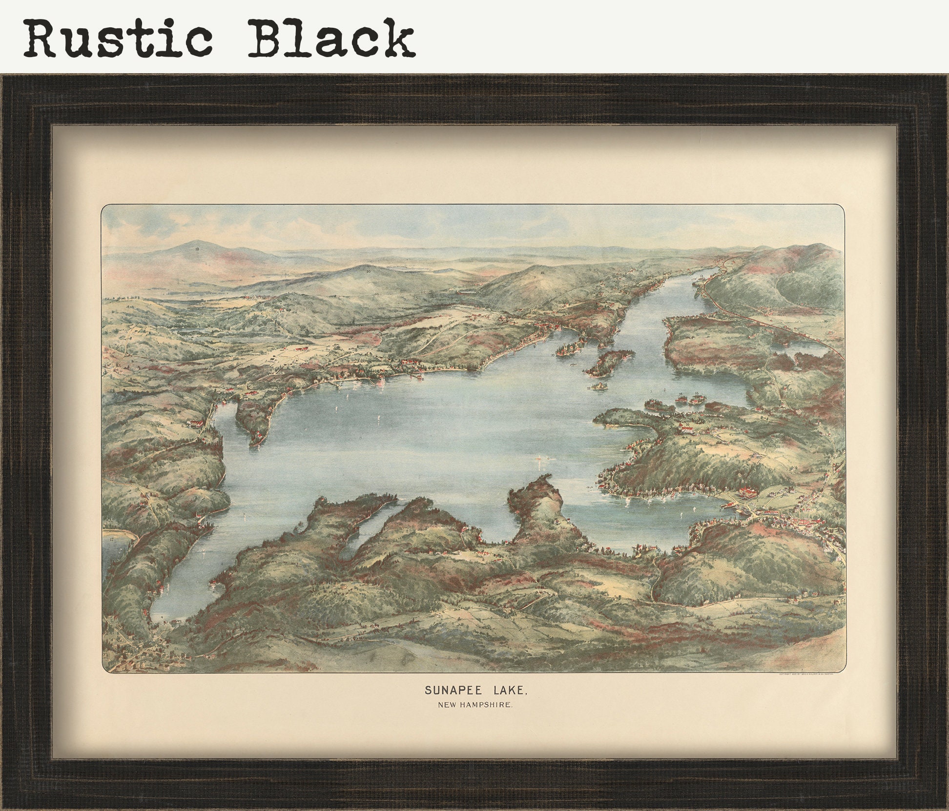
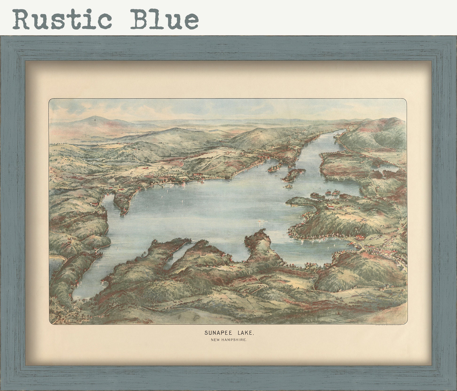
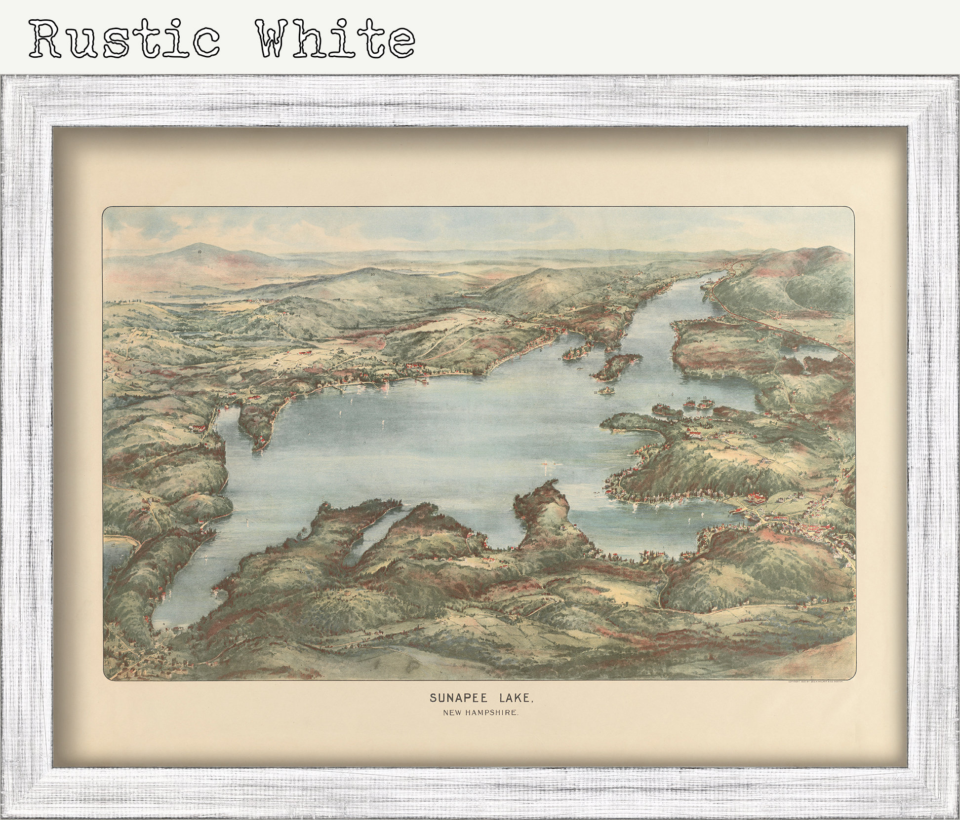
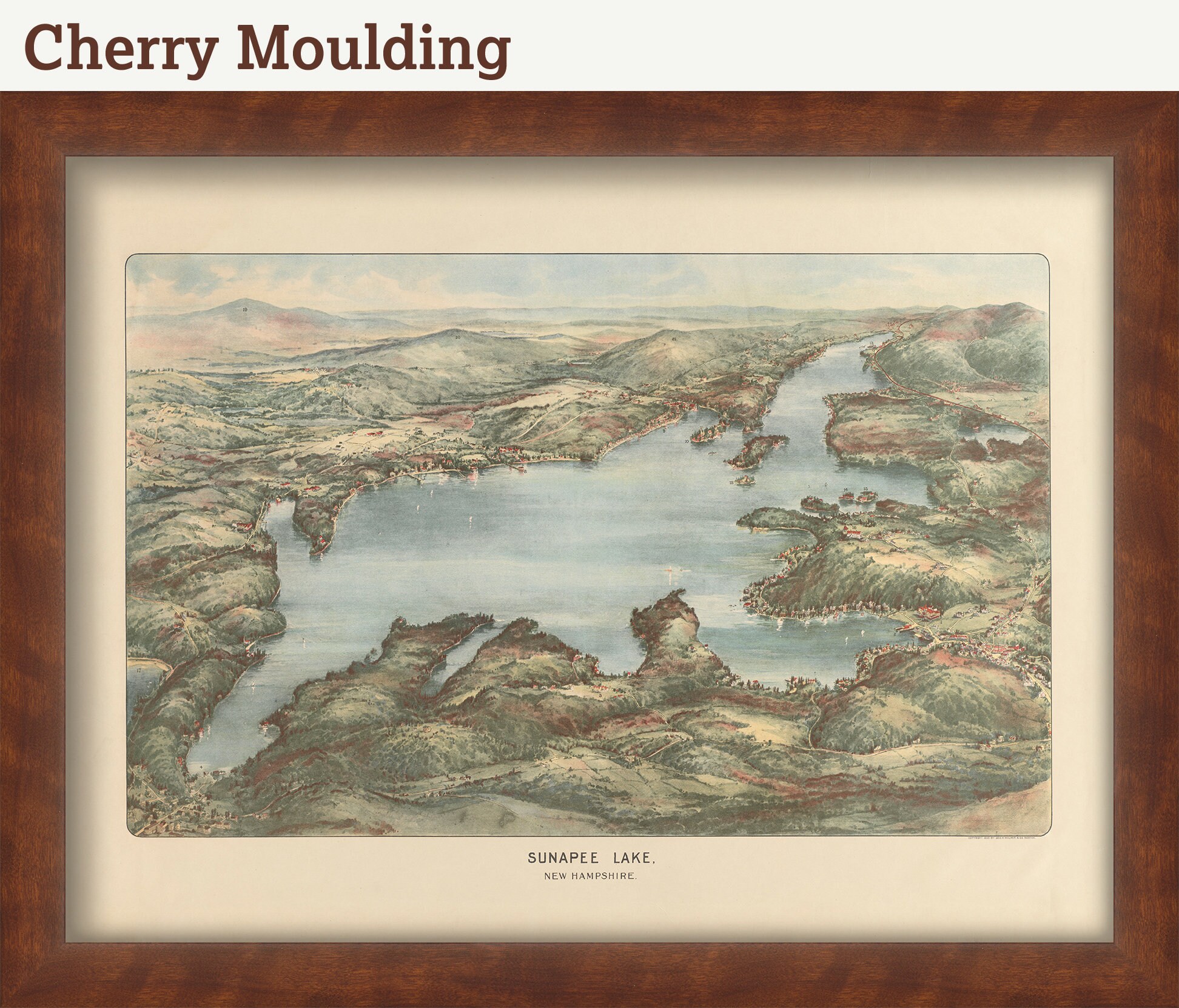
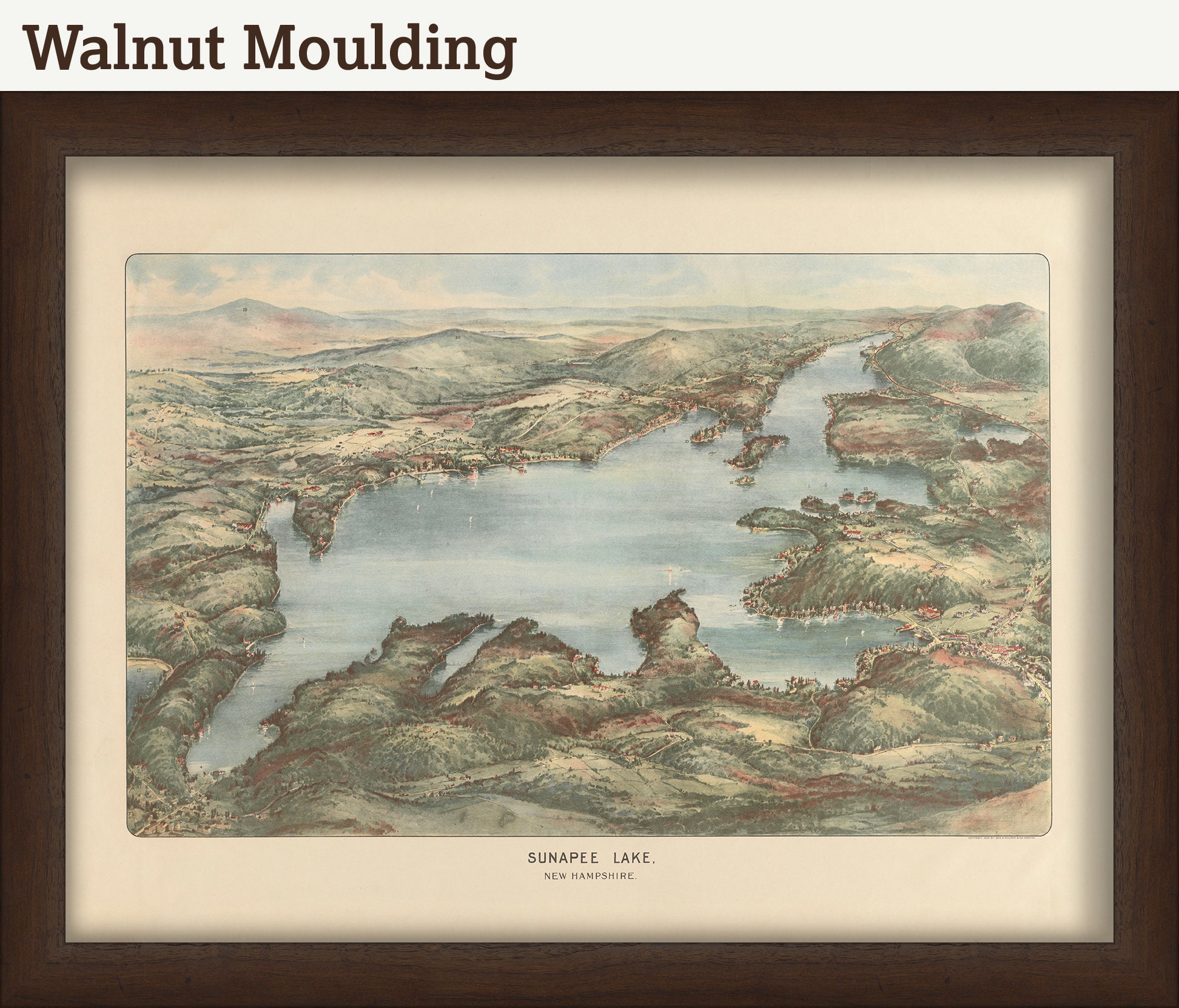
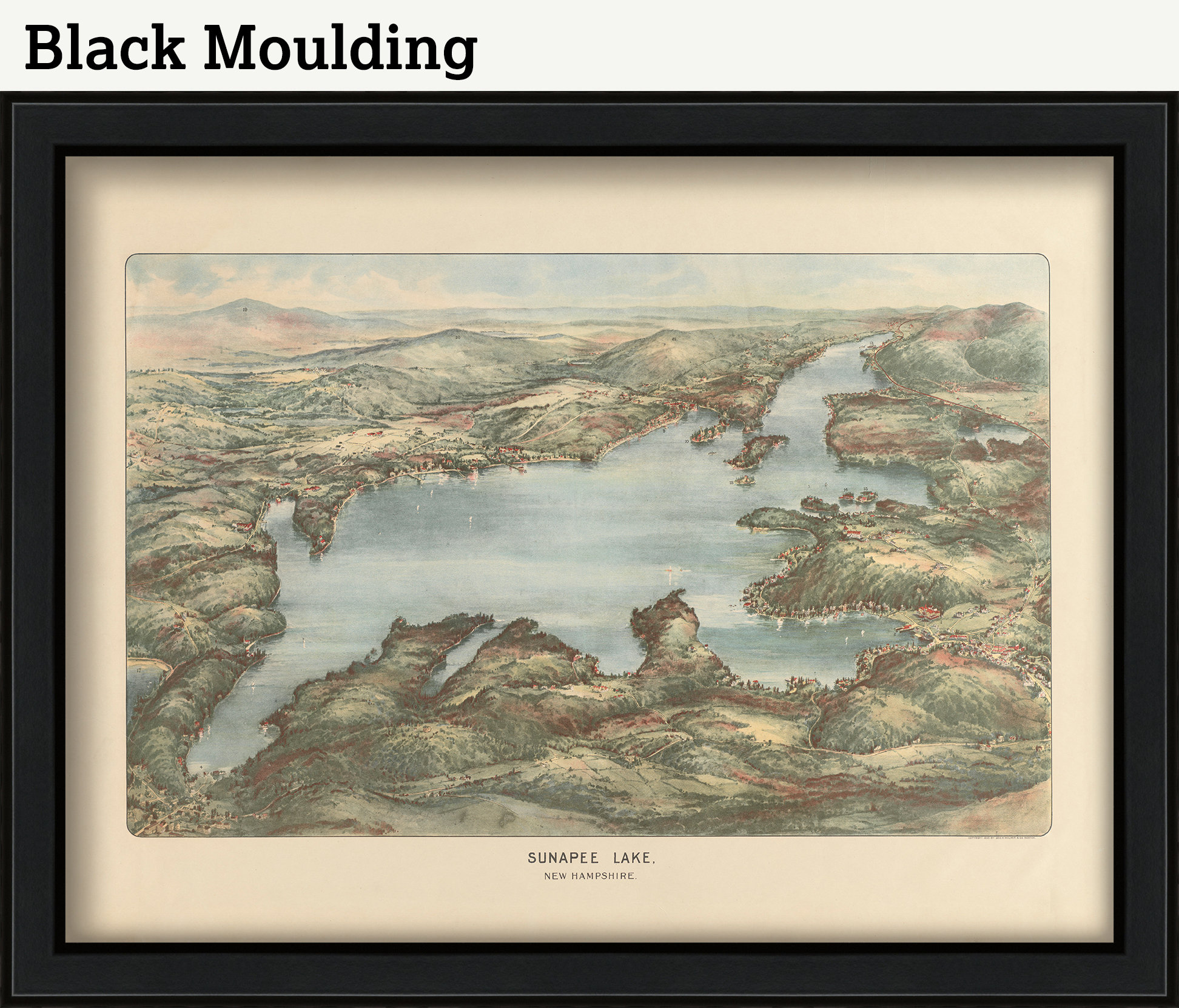
A reproduction of a bird's eye view map of LAKE SUNAPEE, New Hampshire 1905. Bird’s-eye views appear as something between a panoramic view and a map, as though they were drawn by the artist while he was suspended in a hot-air balloon. In fact, they were drawn by hand using, most often, two-point perspective to produce a three-dimensional rendering. The city views are surprisingly accurate and represent a much neglected source for understanding the history of an area.
This view by George H. Walker depicts the Lake Sunapee area as seen looking southward from an imaginary elevated point over present-day Georges Mills at the northern end of the lake. In addition to the features of the dramatic natural landscape, the view depicts the villages around the Lake, numerous mansions and resorts, and the Concord-Claremont rail line running along the western shore.
Custom sizes are available. If you are interested in a custom size, please let us know through the "ask a question" button in this listing.
Retailers who would like to carry our Maps, please contact us through the "ask a question" button in this listing, for information and discounts.
0877
Shipping from United States
Processing time
1-3 business days
Customs and import taxes
Buyers are responsible for any customs and import taxes that may apply. I'm not responsible for delays due to customs.
