City of BOSTON and Immediate Neighborhood 1852 by H. McIntire
$78.00
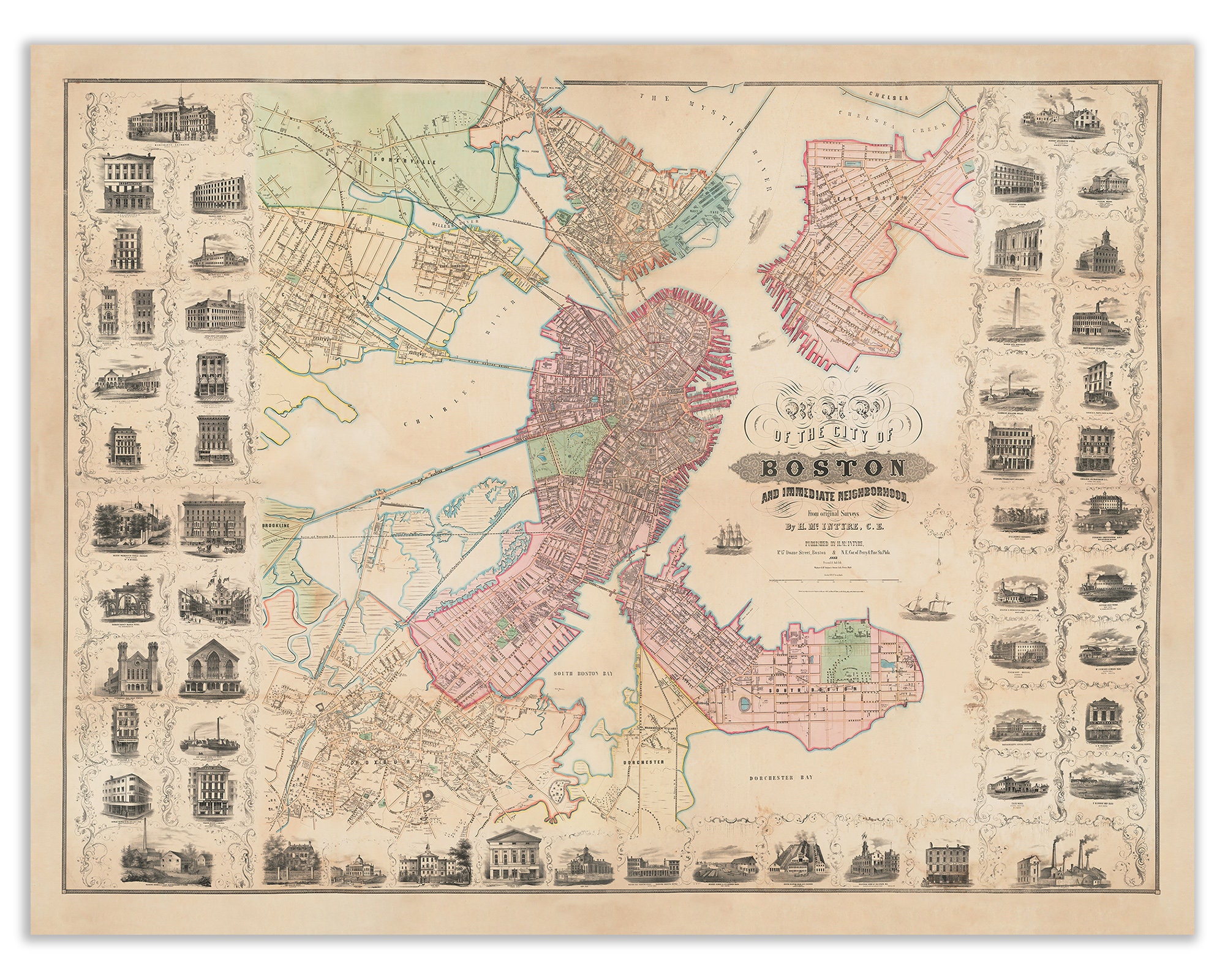
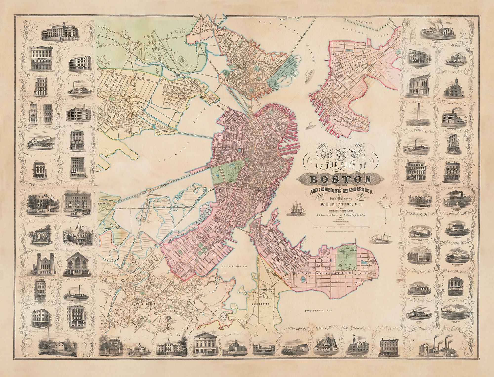
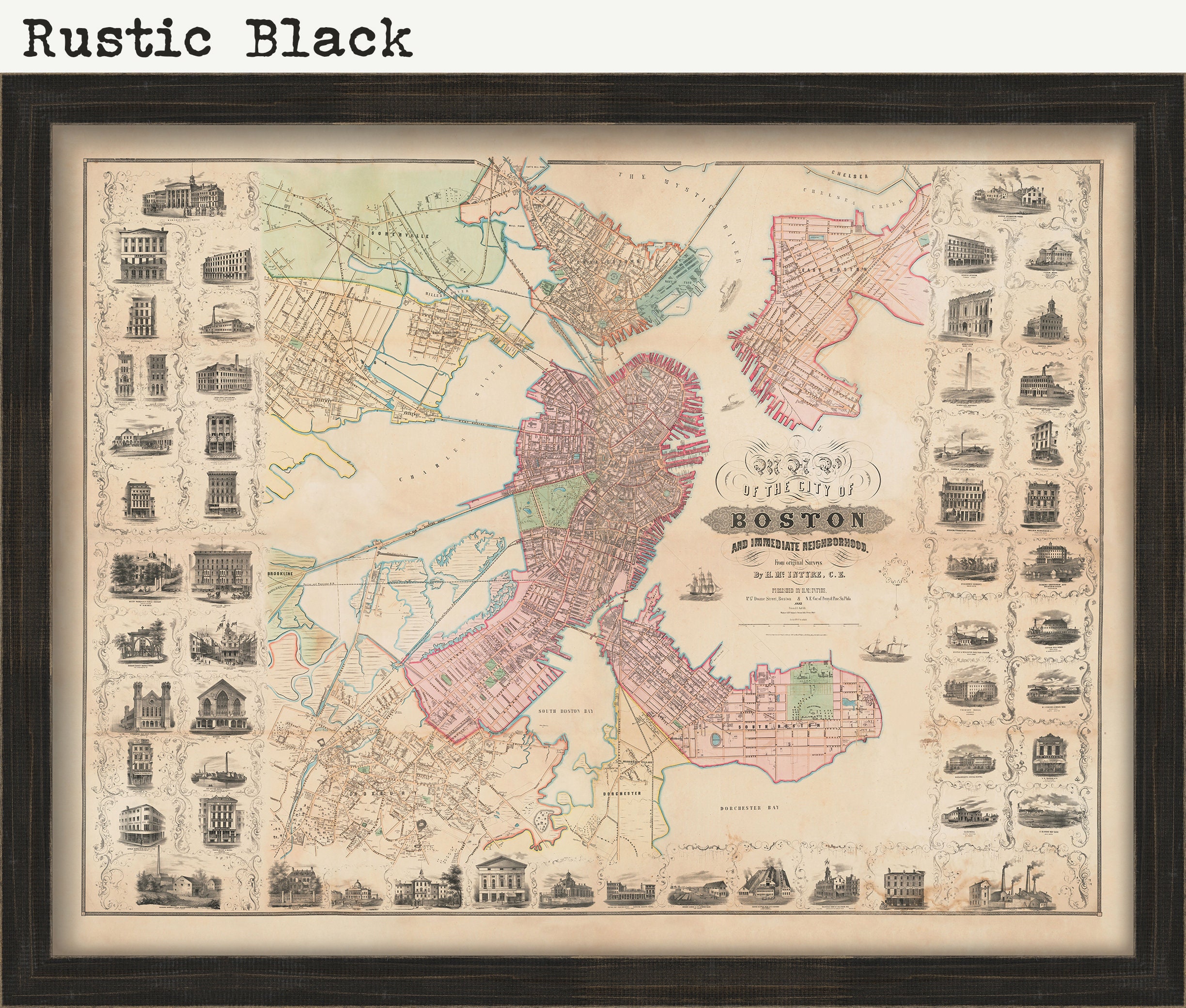
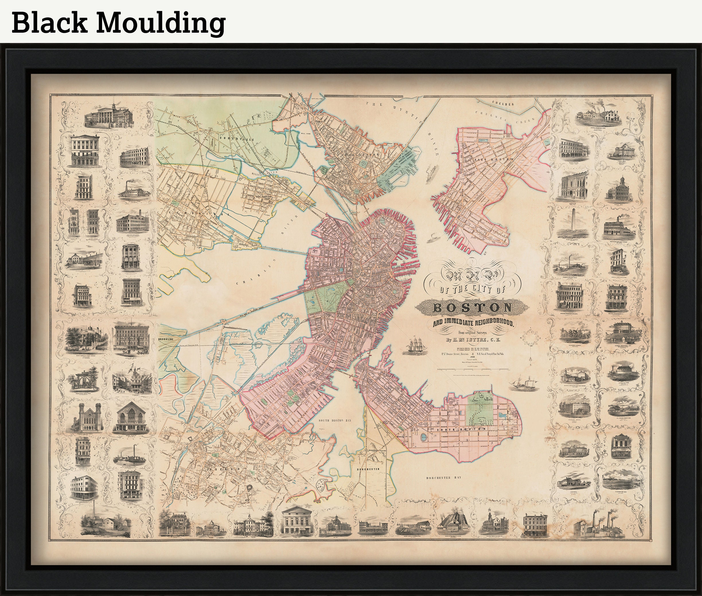
City of BOSTON and Immediate Neighborhood 1852 by H. McIntire. The largest and most visually striking 19th-century map of Boston, published by McIntyre, lithography by Friend & Aub; printed by Wagner and McGuigan.
This astonishing map depicts not only Boston but much of Cambridge, East Cambridge, Somerville, Charlestown, East Boston, South Boston, Dorchester and Roxbury. By the 1870s all but the first three would be annexed by the city. No fewer than 55 pictorial vignettes of government buildings, places of worship, factories, cultural venues and monuments.
MUCH DETAIL IN THIS MAP-RECOMMEND THE LARGER SIZES
Original Dimensions: 80" wide x 60" high.
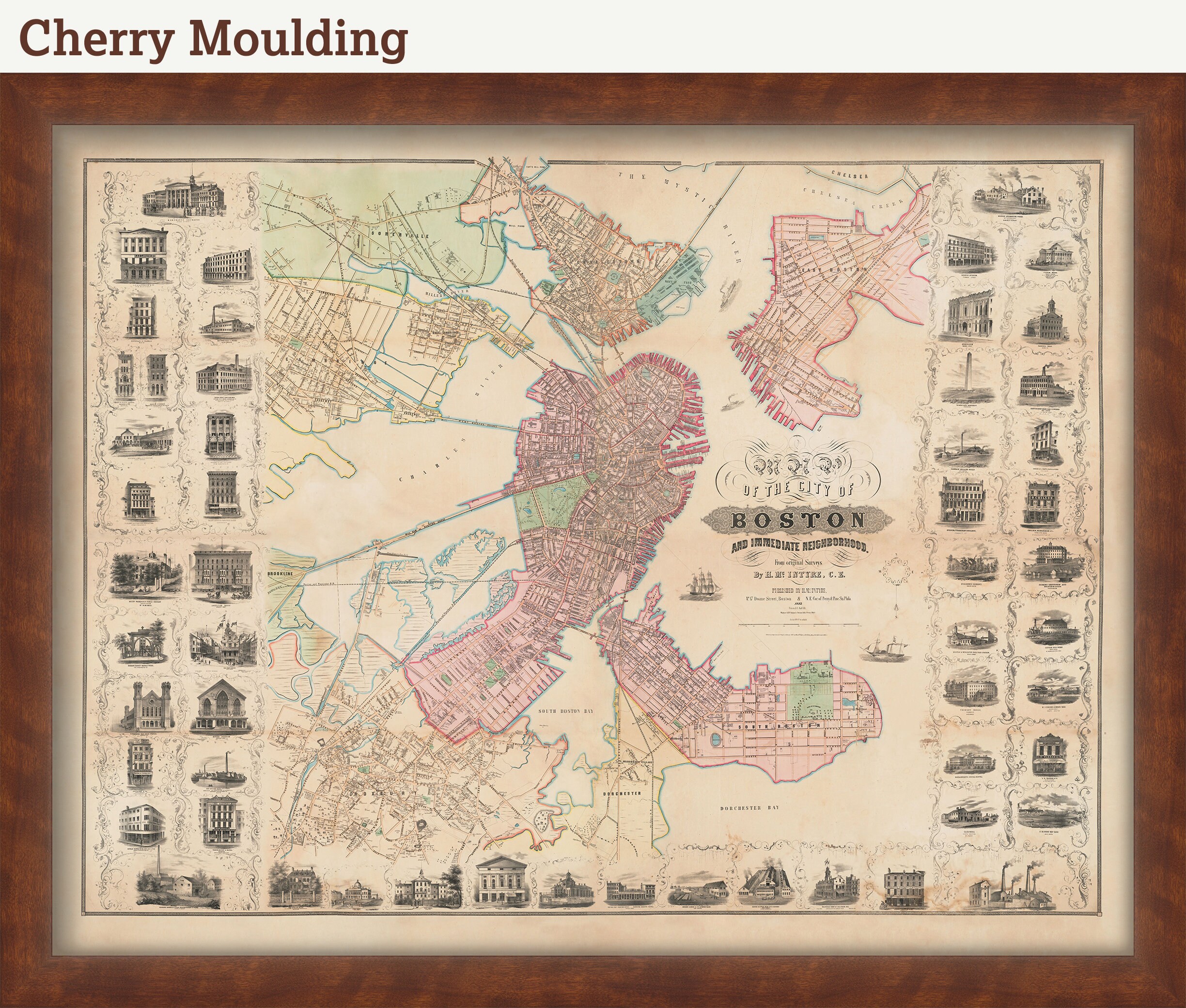
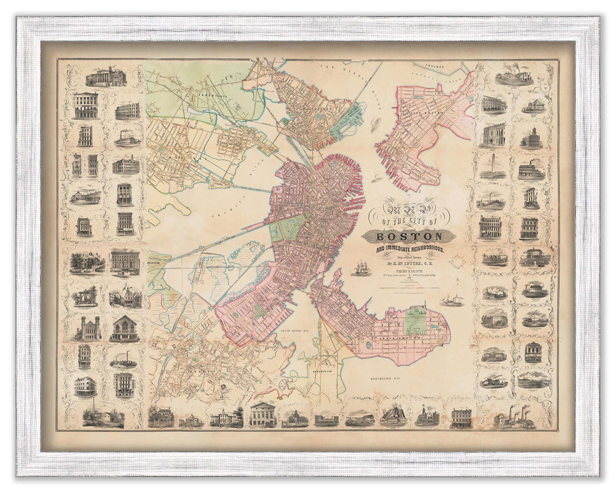
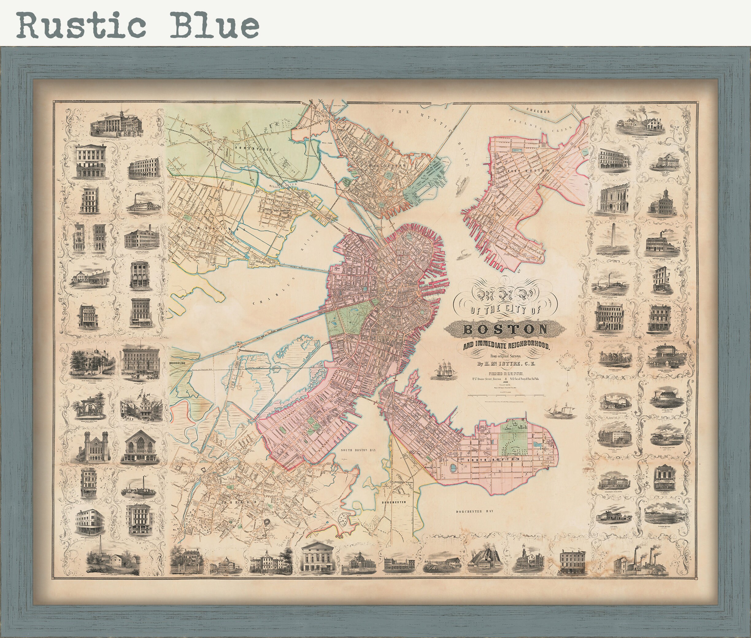
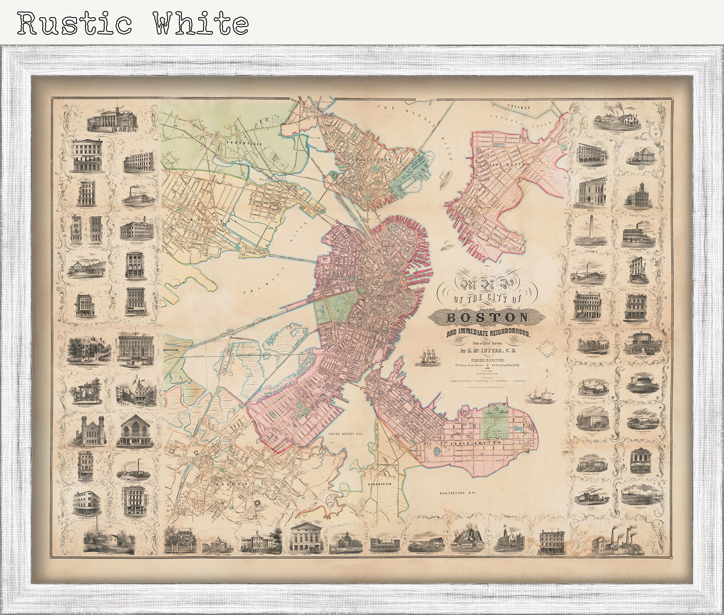
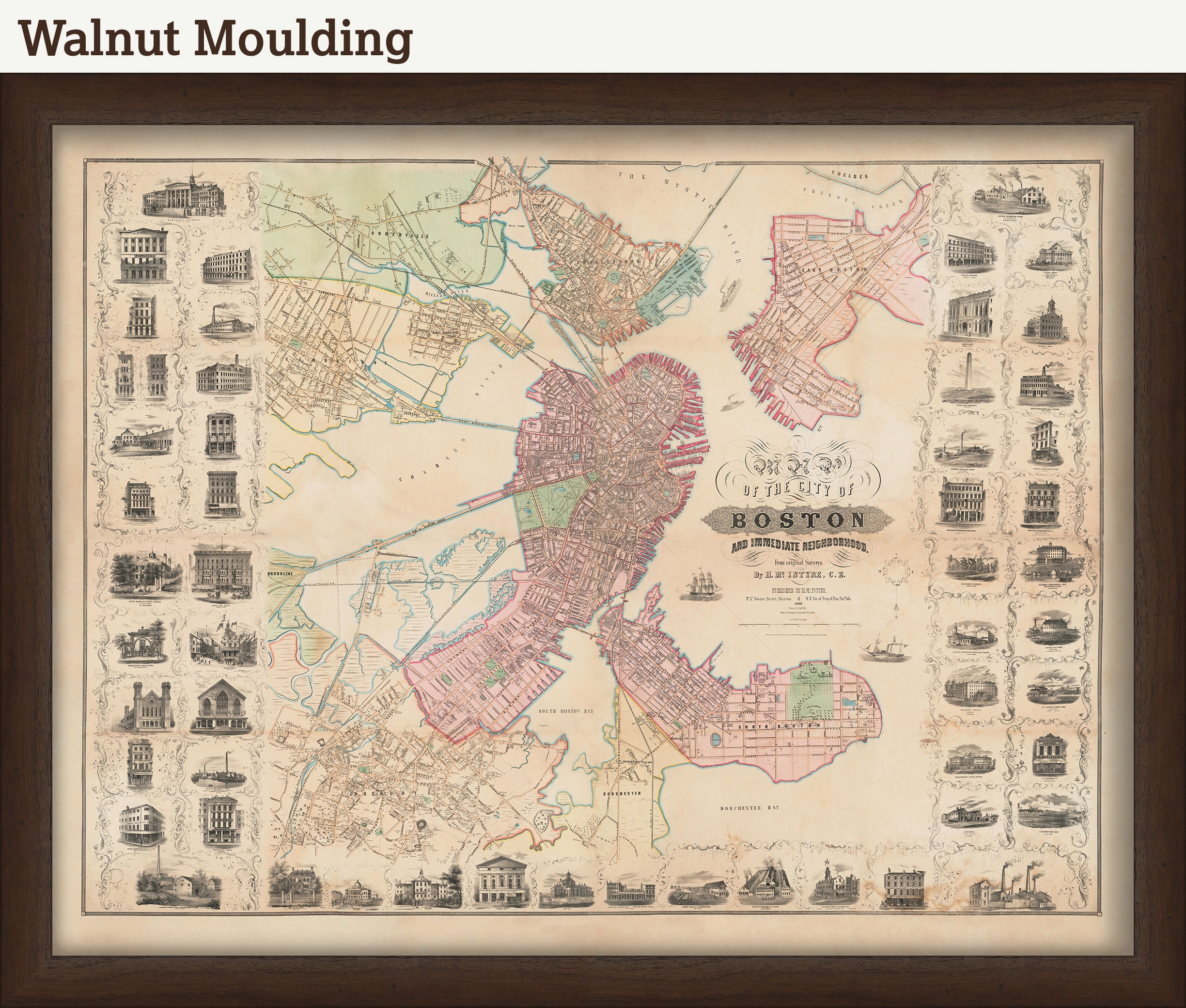
Framing is Available, see our other listing of: City of BOSTON and Immediate Neighborhood 1852 by H. McIntire
Custom sizes are available. If you are interested in a custom size, please let us know through the "ask a question" button in this listing.
Retailers who would like to carry our Maps, please contact us through the "ask a question" button in this listing, for information and discounts.
0891
Shipping from United States
Processing time
1-3 business days
Customs and import taxes
Buyers are responsible for any customs and import taxes that may apply. I'm not responsible for delays due to customs.
Payment Options
Returns & Exchanges
Returns & exchanges not accepted
But please contact me if you have problems with your order
I gladly accept cancellations
Request a cancellation within: 1 hours of purchase
Reviews (1)
Average:
Aug 18, 2019
I have only seen an old and stained map of this that local library has in its collection. Happy to see this.
Paula Mickevich