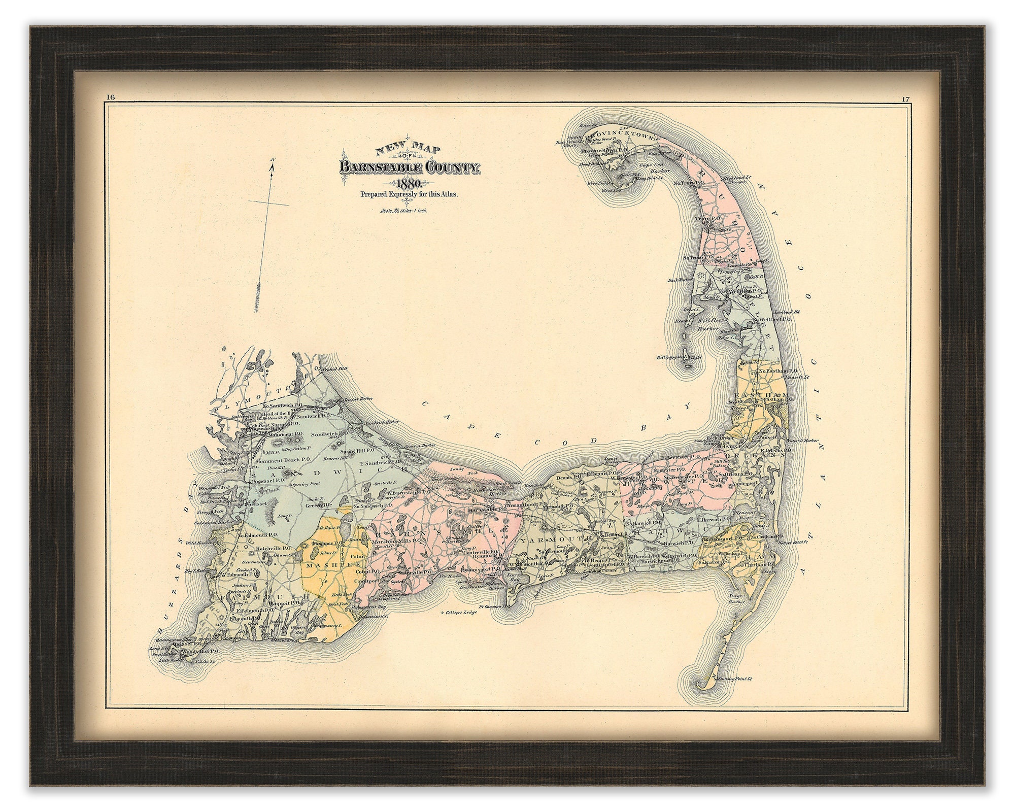
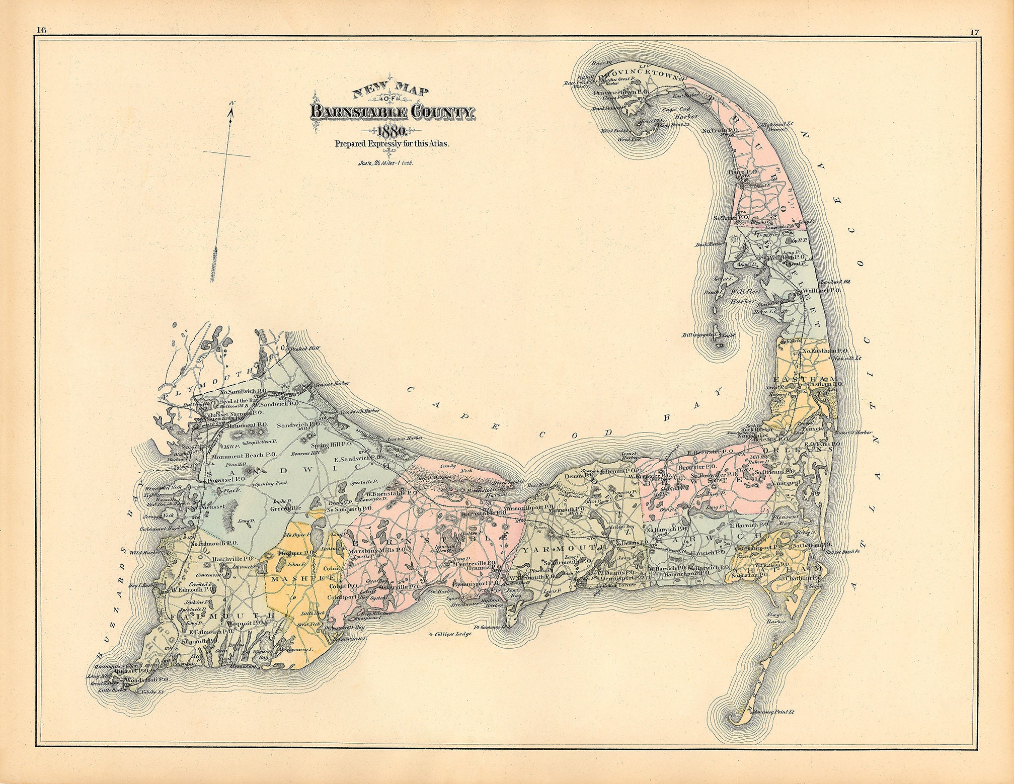
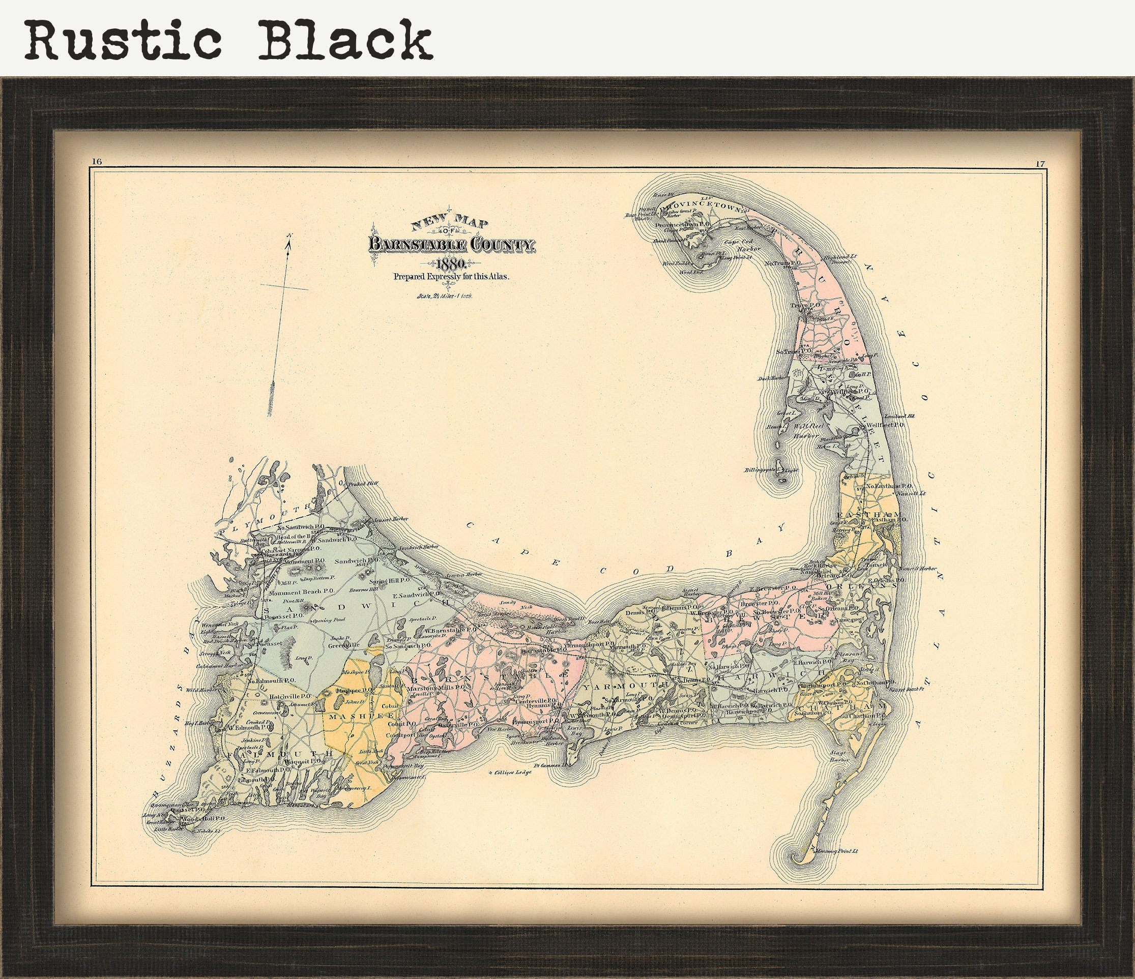
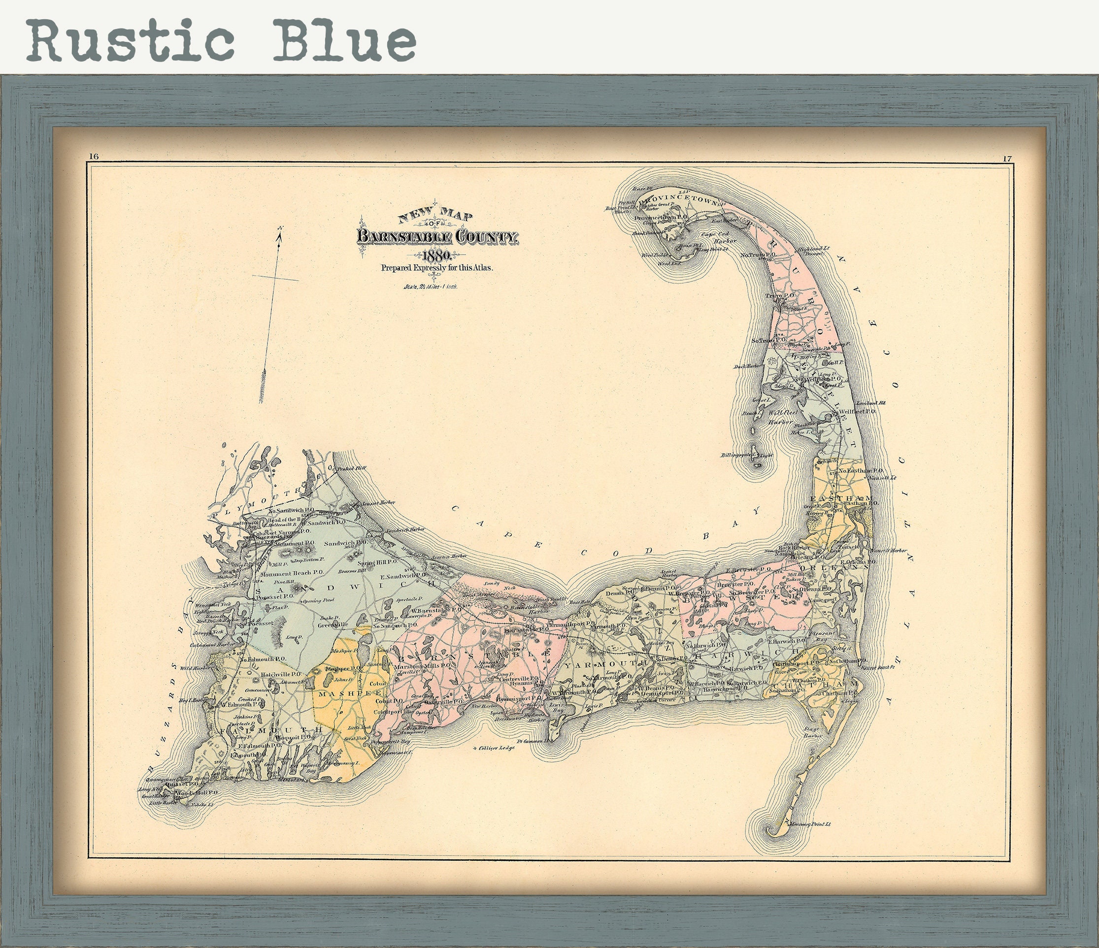
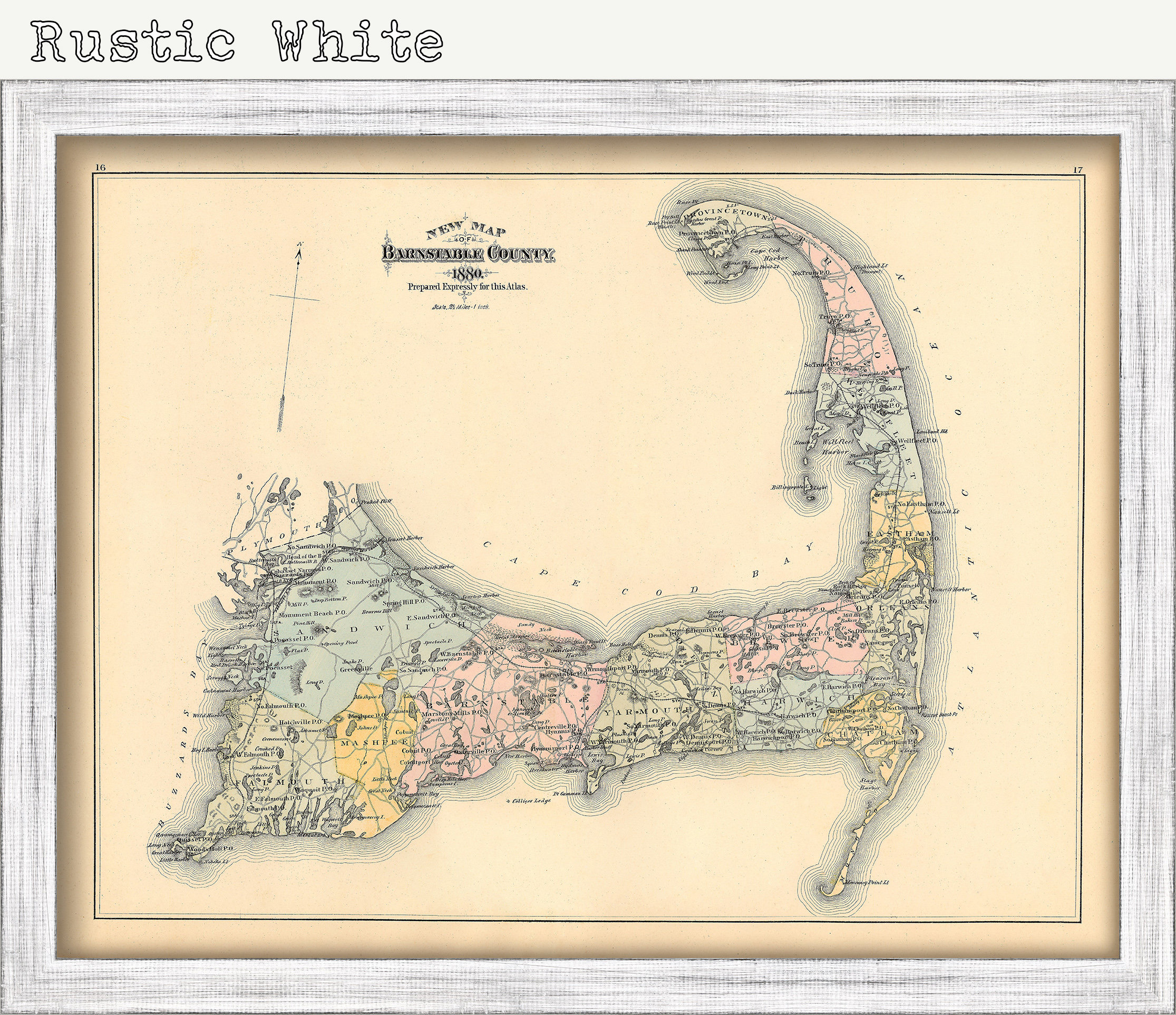
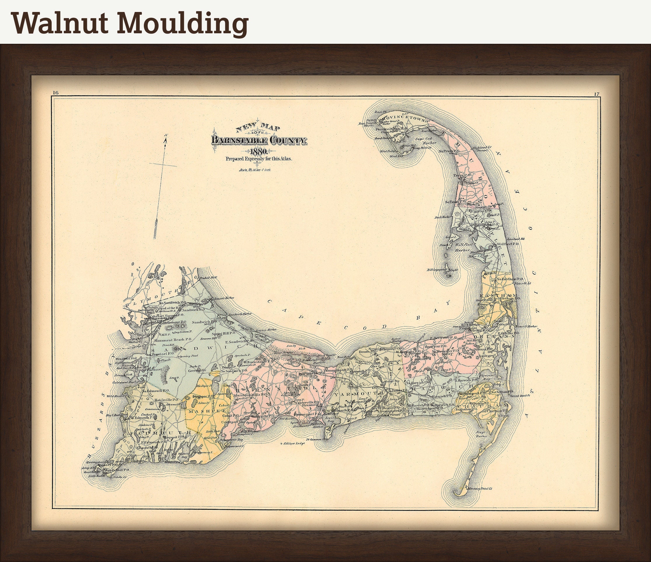
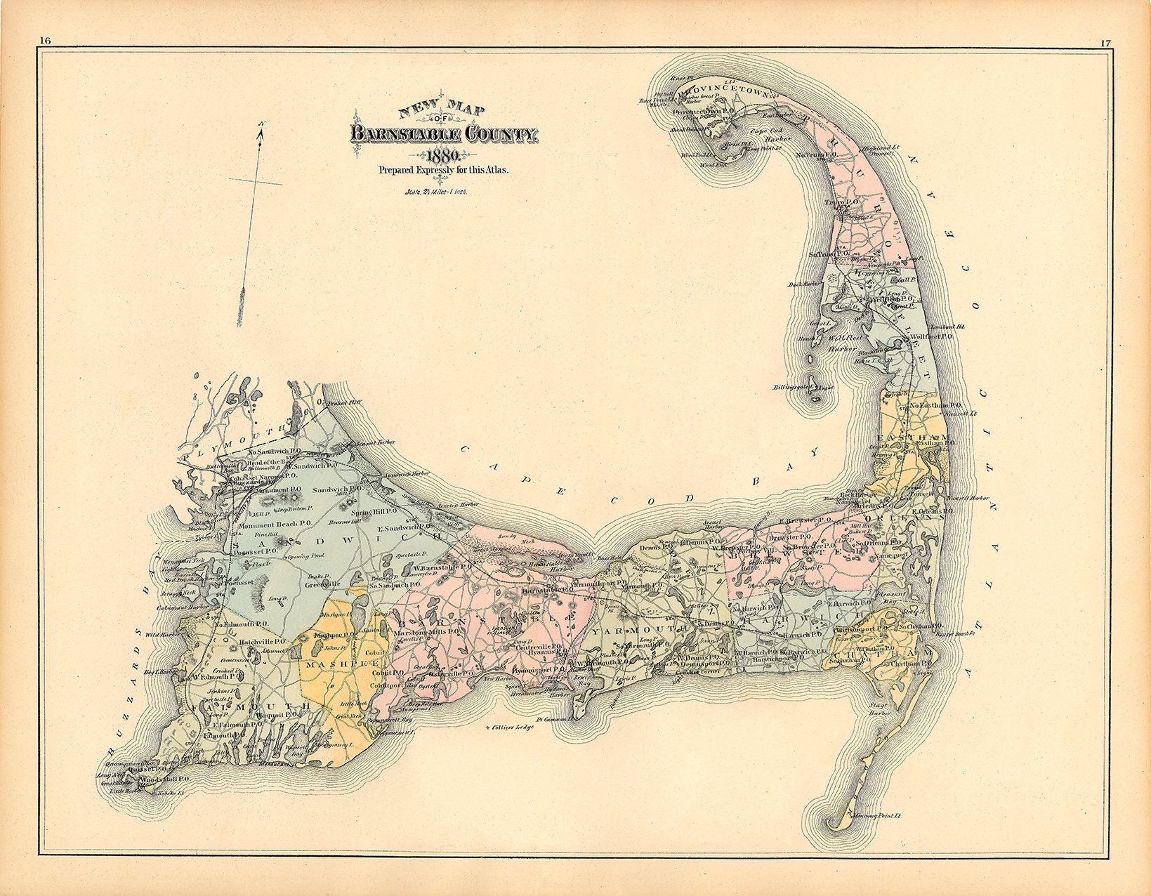
CAPE COD/Barnstable County, Massachusetts 1880 Map
$38.00
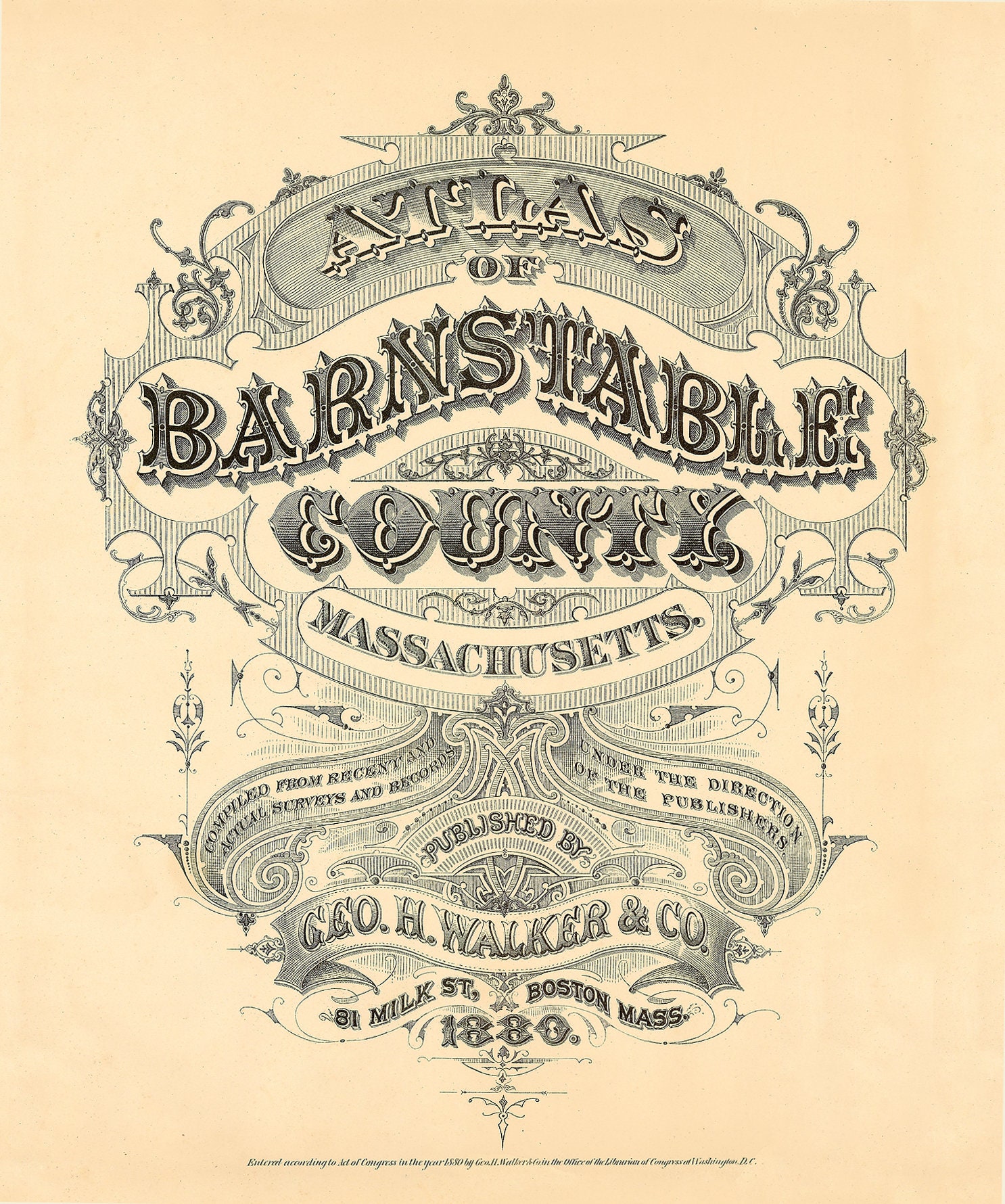
A reproduction of a hand-colored map of the CAPE COD/BARNSTABLE COUNTY, from the 1880 Atlas of Barnstable County, Massachusetts. In 1880 Boston cartographer/surveyor George H. Walker published the first atlas of Barnstable County's towns and villages, binding together 66 individually engraved maps into one convenient volume The original production run of less than 400 books was fully subscribed and out of print by 1881.
Please feel free to use our high resolution version of this map for your research or just to inspect it, If you are interested in purchasing the original map, the unedited scan of the map can be viewed here: please copy and paste this url into a new tab in your browser:
https://rmicusec.sirv.com/barnstable%20county%201880/046-b80-cape%20cod1880-best18x23-%2432%20copy.jpg
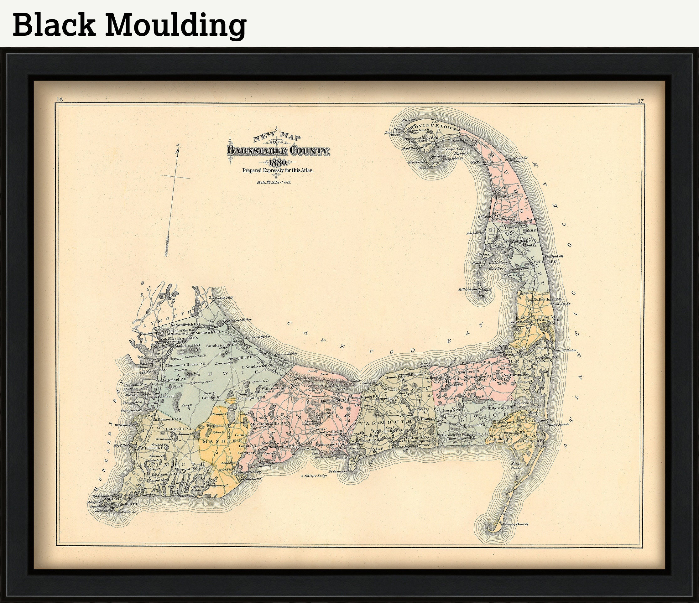
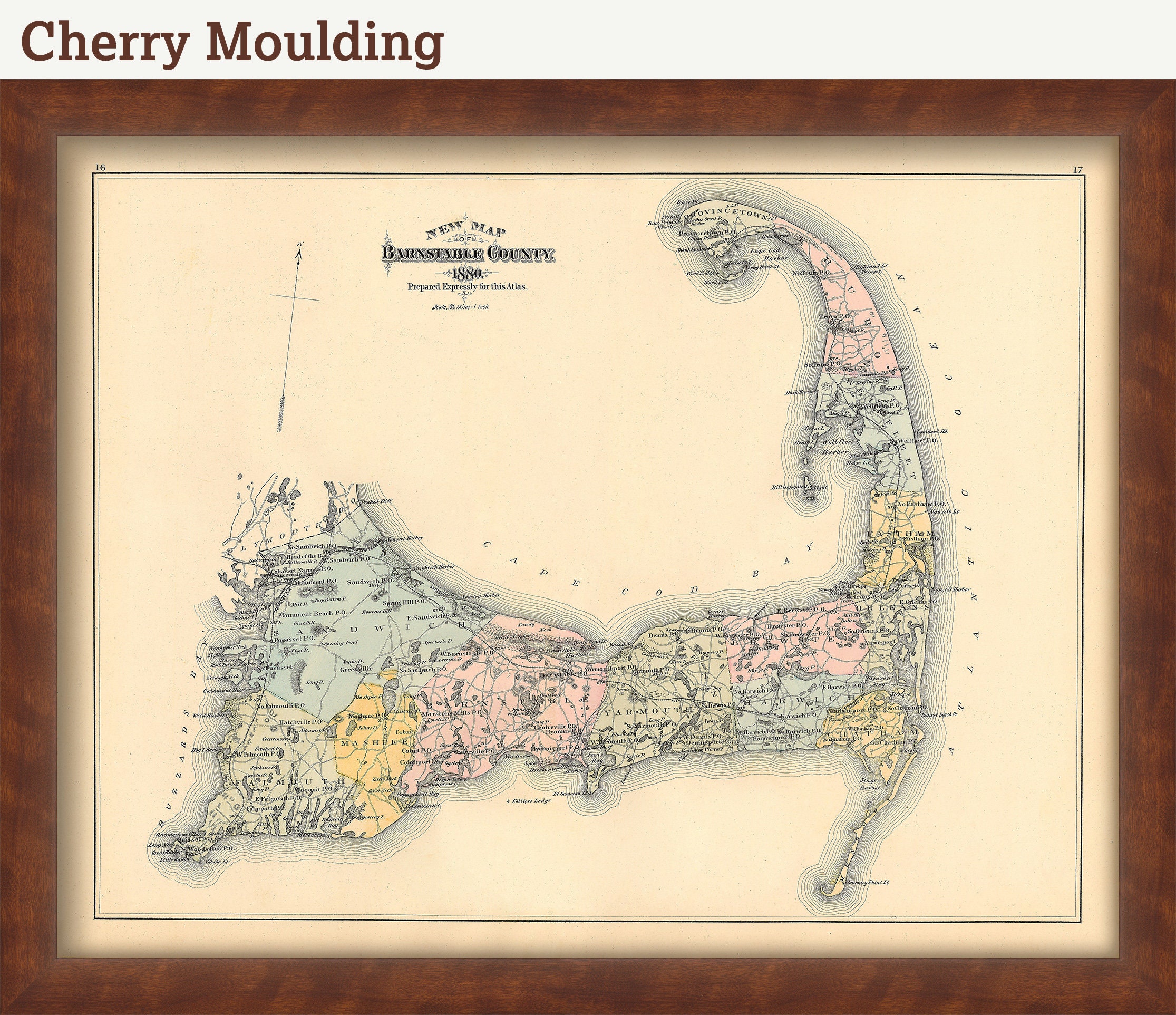
Framing is available. Framed maps include drymounting, UV filtering glass, and your choice of six mouldings, wired and ready to hang upon delivery. All mouldings are approximately 1.5" wide. Please factor in an additional 3" to the listed size for framed items.
This map has been scanned From The ORIGINAL at 600 dpi using state of the art equipment {a Contex Large Format Scanner}. The replica map is printed on heavy matte fine art paper using archival pigment inks. This is one of over 5000 Original maps, charts and posters in our collection.
Many reproduction maps that are available on Etsy are taken directly from public domain sources {NY Public Library, Library of Congress, etc}. Although great for research purposes, these image files frequently suffer from poor color accuracy, lens blur and distortion. The maps in our collection have been scanned from the ORIGINAL, flat, at high resolution and with precisely calibrated color. This allows us to prints replicas that are virtually indistinguishable from the original maps.
Custom sizes are available. If you are interested in a custom size, please let us know through the "ask a question" button in this listing.
The Complete ORIGINAL 1880 BARNSTABLE COUNTY ATLAS Containing 37 Individual Maps is Available for $5000. Please contact us through the "ask a question" button in this listing, for information.
Retailers who would like to carry our Maps, please contact us through the "ask a question" button in this listing, for information and discounts.
046-B80
Shipping from United States
Processing time
1-3 business days
Customs and import taxes
Buyers are responsible for any customs and import taxes that may apply. I'm not responsible for delays due to customs.
Payment Options
Returns & Exchanges
Returns & exchanges not accepted
But please contact me if you have problems with your order
I gladly accept cancellations
Request a cancellation within: 1 hours of purchase
Reviews (15)
Average:
Dec 12, 2024
I love the map of Cape Cod. We go there every year for our anniversary. Cape Cod is our home away from home.
DEANNA L EGGERS
Nov 27, 2024
Packaged secrley. Came super fast. Great quality, just what I wanted for a Christmas gift.
Dianne
Jul 21, 2024
Thank you very much. Tu
Marcia Alevizos
Apr 22, 2024
Was a gift for my husband he loved it Great quality and fast delivery
ncasali1
Feb 20, 2024
Beautiful print, great customer service
elsalv