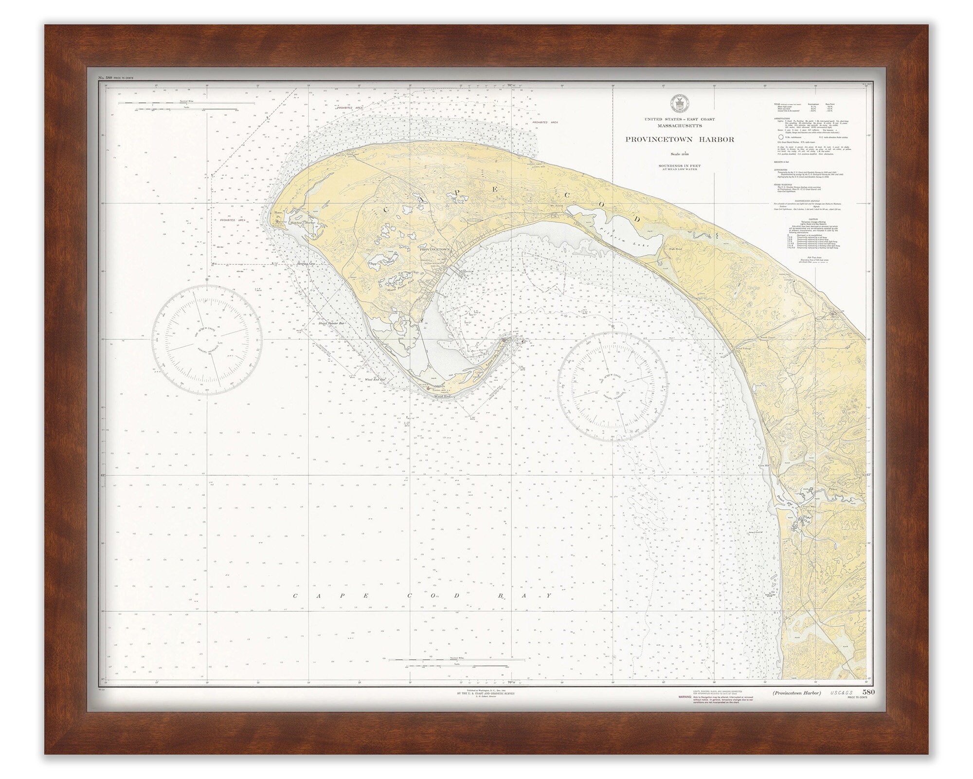

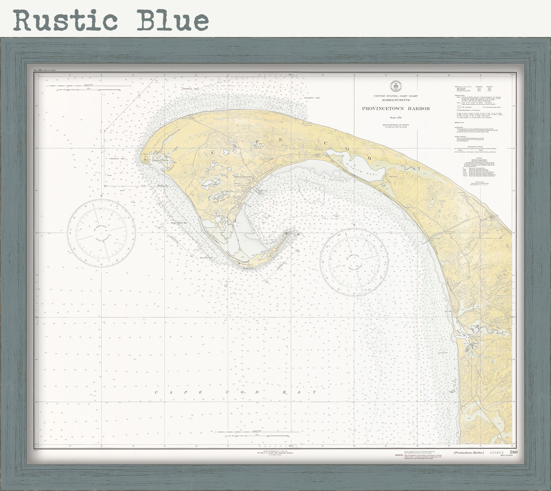
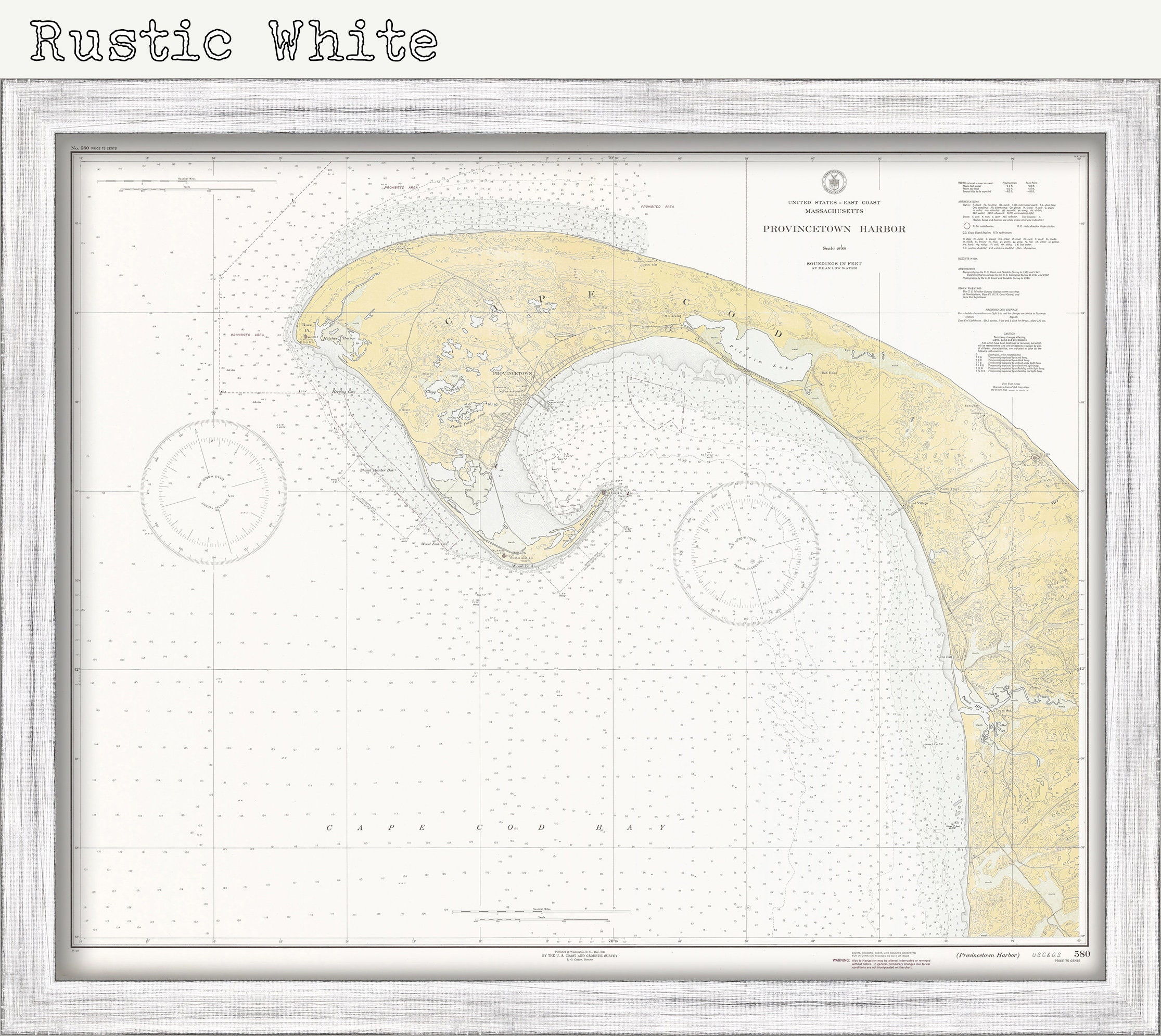
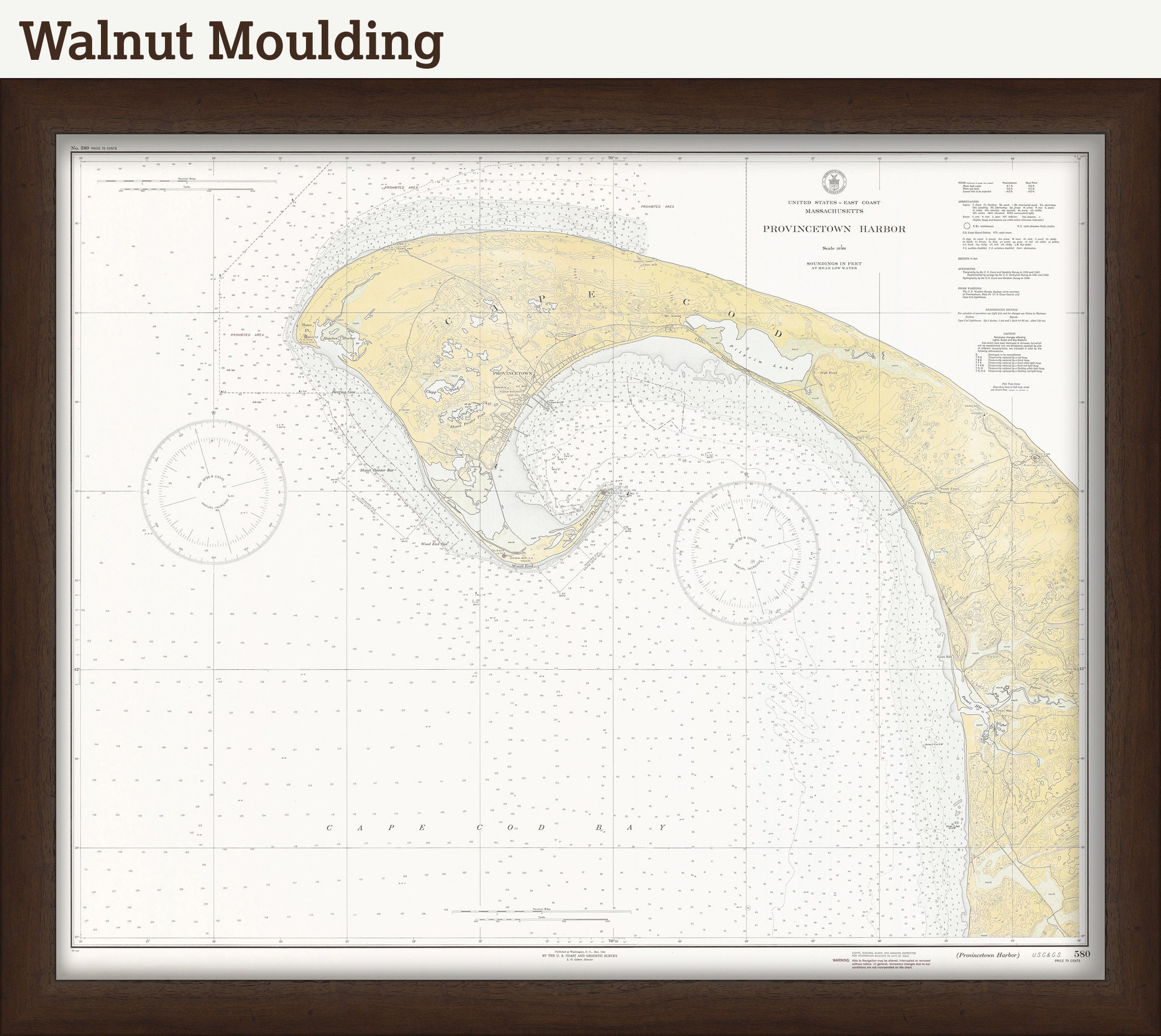
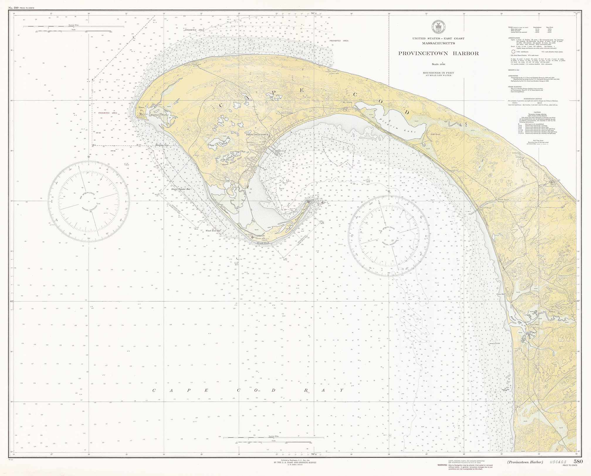
PROVINCETOWN HARBOR and TRURO, Massachusetts - Nautical Chart 1944
$38.00
A Reproduction of a Nautical Chart of PROVINCETOWN HARBOR and TRURO, Massachusetts - by the Office of Coast Survey in 1944.
Custom sizes are available. If you are interested in a custom size, please let us know through the "ask a question" button in this listing.
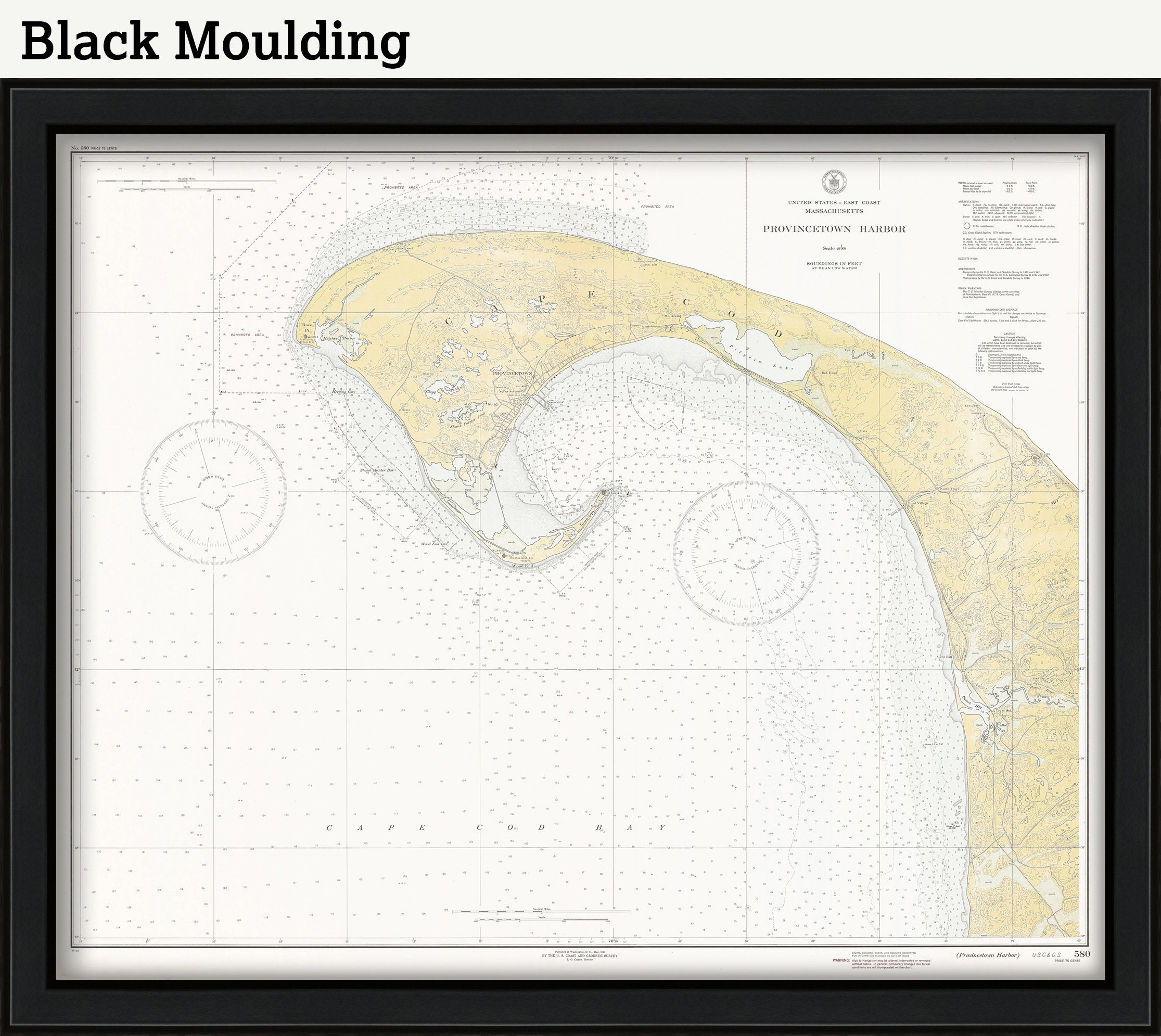
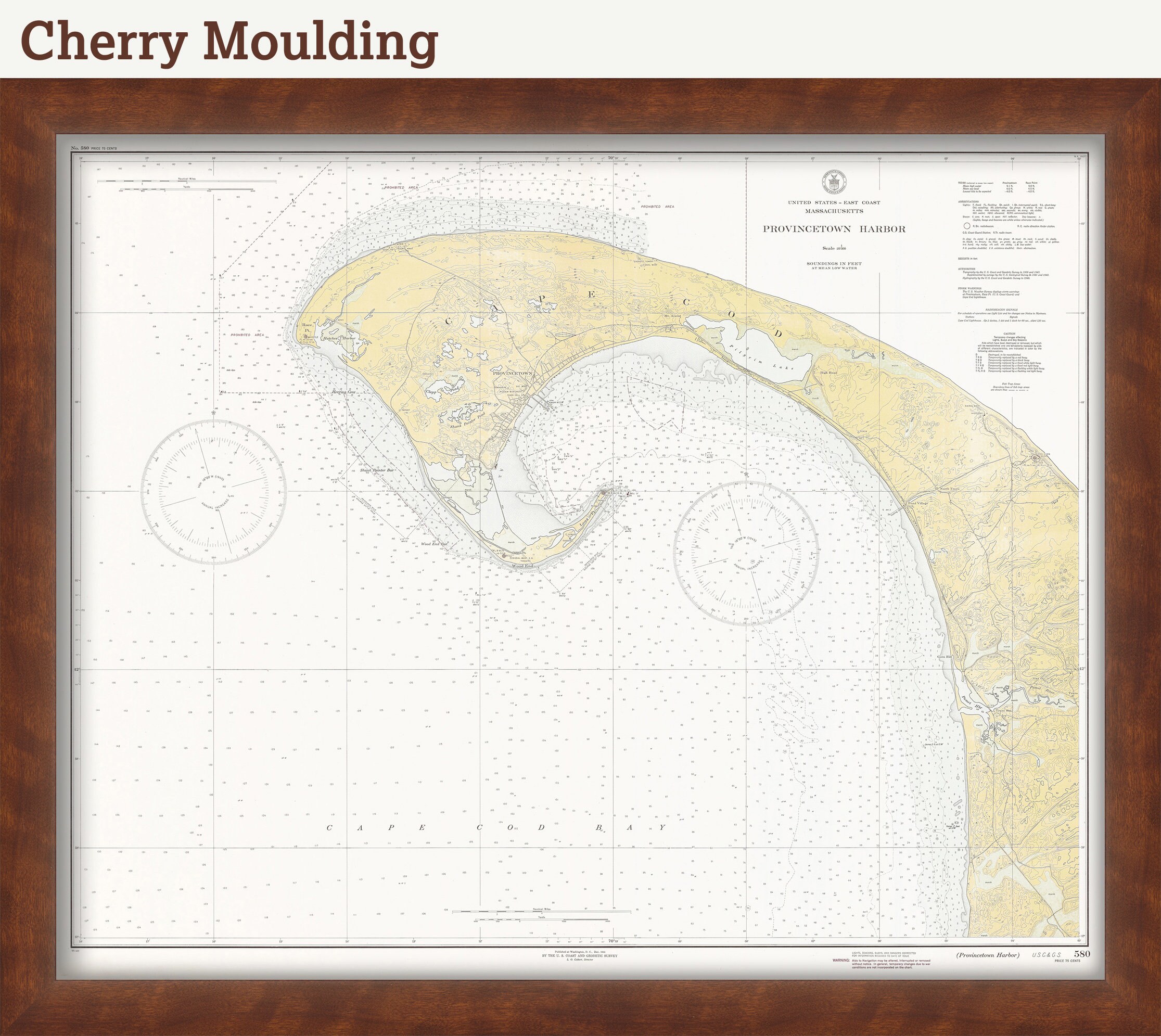
This image is printed on heavy matte fine art paper with archival inks. Framing is available. Framed charts include drymounting, UV filtering glass, and your choice of six mouldings, wired and ready to hang upon delivery. All mouldings are approximately 1.5" wide. Please factor in an additional 3" to the listed size for framed items.
Retailers who would like to carry our Maps and Prints, please contact us through the "ask a question" button in this listing, for information and discounts.
0806
Shipping from United States
Processing time
1-3 business days
Customs and import taxes
Buyers are responsible for any customs and import taxes that may apply. I'm not responsible for delays due to customs.
Payment Options
Returns & Exchanges
Returns & exchanges not accepted
But please contact me if you have problems with your order
I gladly accept cancellations
Request a cancellation within: 1 hours of purchase
Reviews (4)
Average:
Sep 24, 2023
Terrific product and fast delivery
J C
Mar 18, 2023
As always, an awesome seller and product!
Meg Stringer
Jan 23, 2020
A beautiful gift! Perfectly framed! My friend loved it!
Carter McCallister
Sep 5, 2019
Looks awesome, but just note that it isn't quite 16x20, it's a bit larger. Print is very high quality!
David