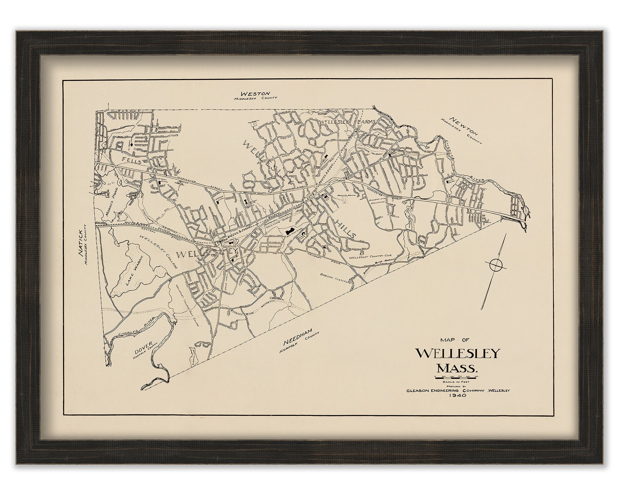
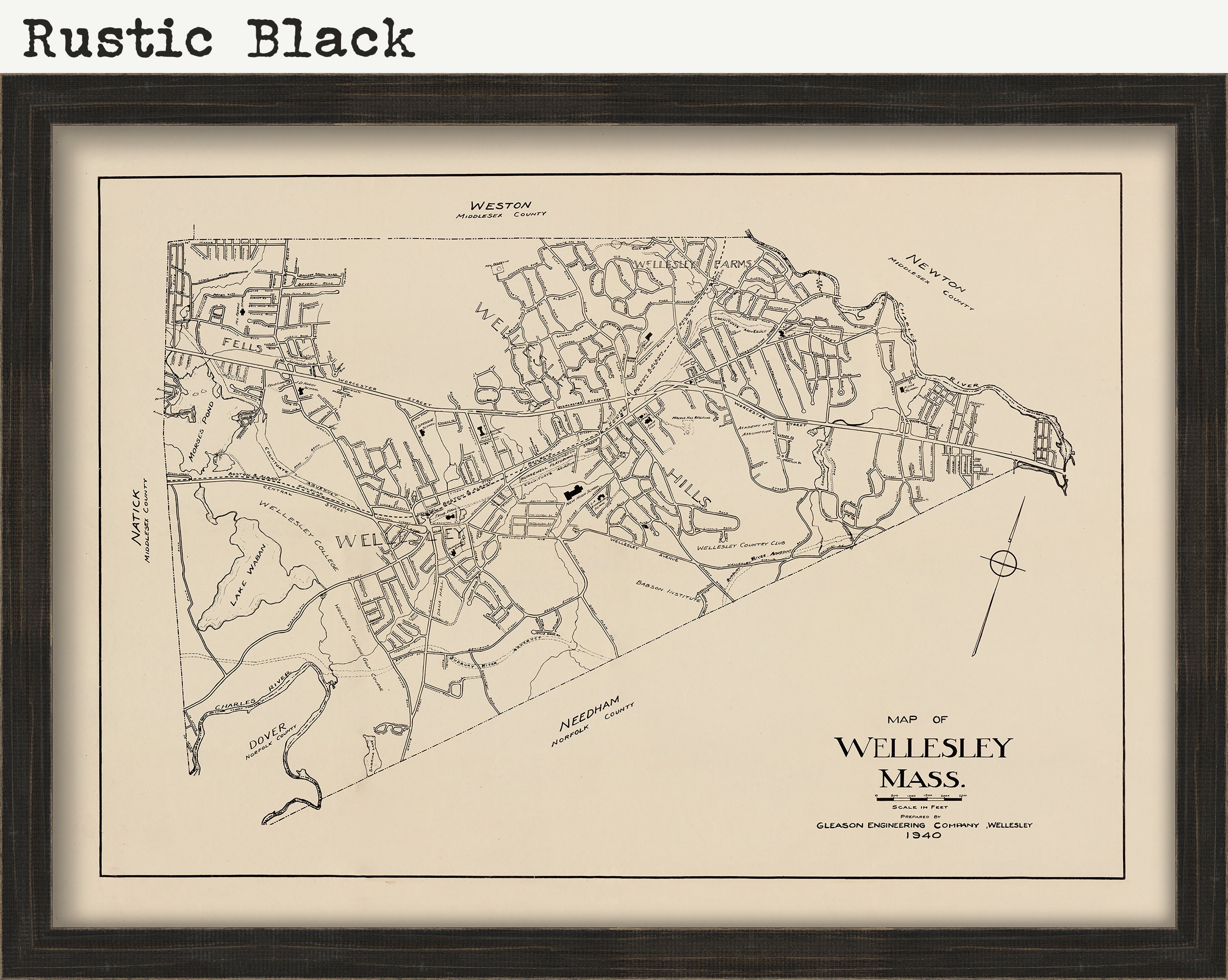
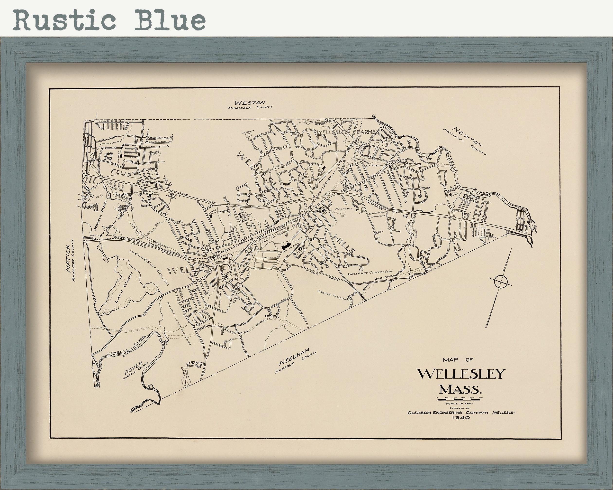
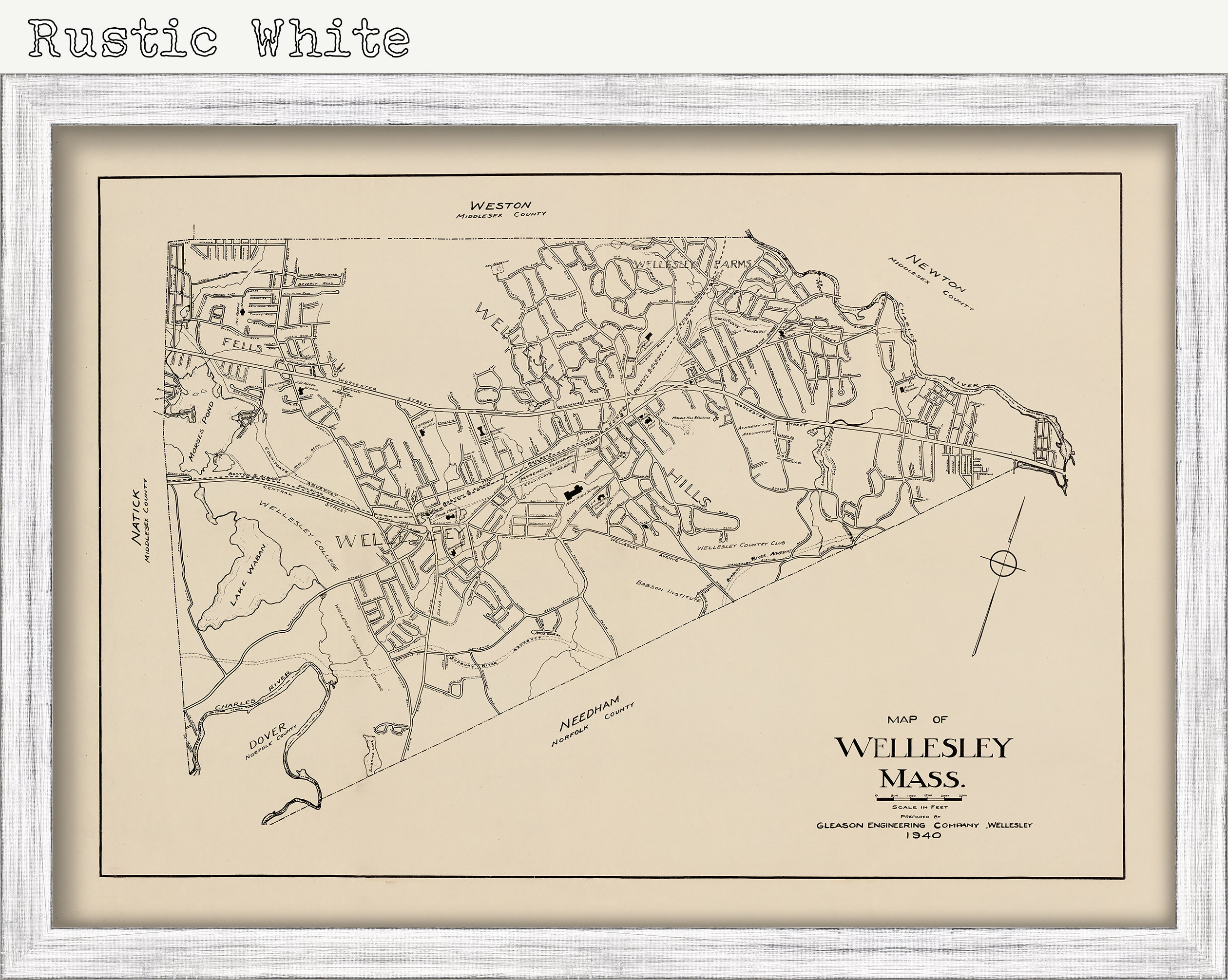
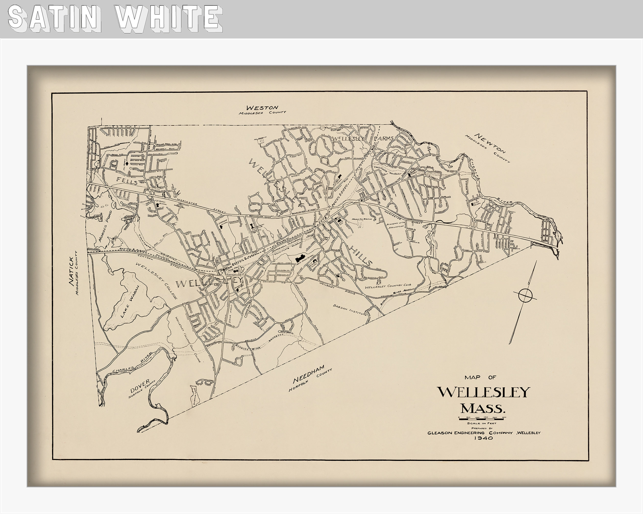
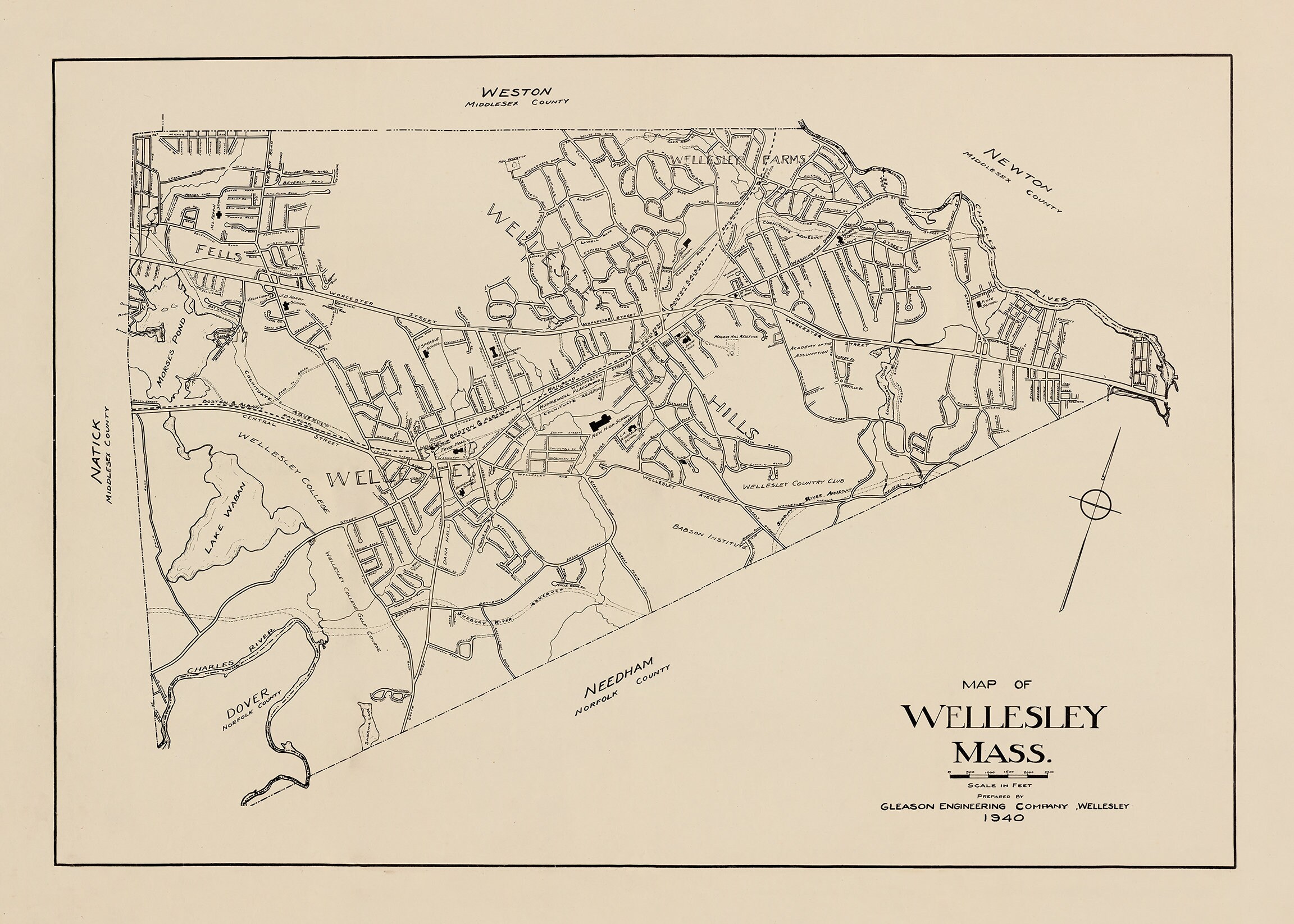
Wellesley, Massachusetts - Survey Map from 1940 - Reproduction
$48.00
An archival reproduction print of a survey of the town of Wellesley, MA originally drawn in 1940
Original Dimensions of the Map are: 32" wide by 22.5" tall.
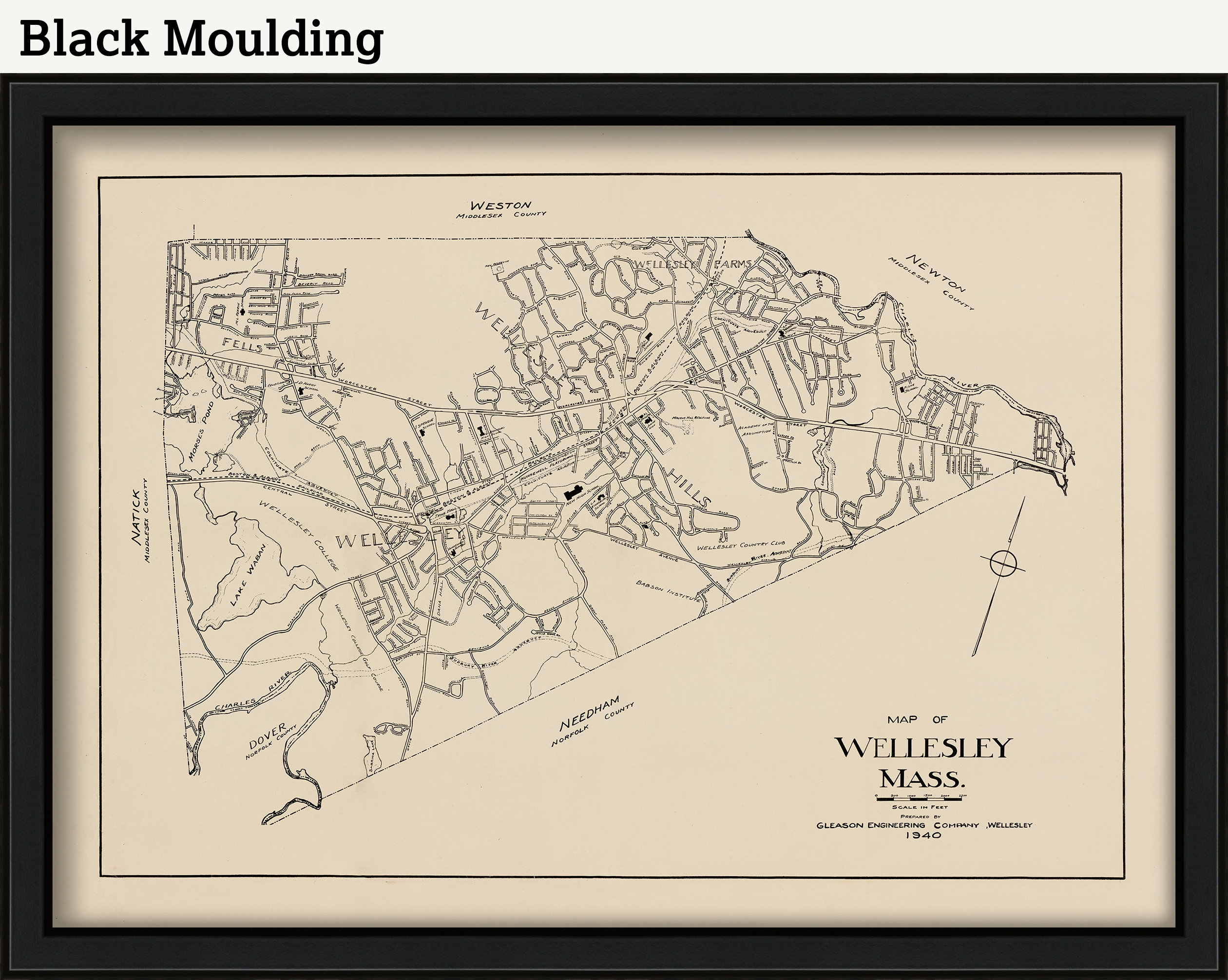
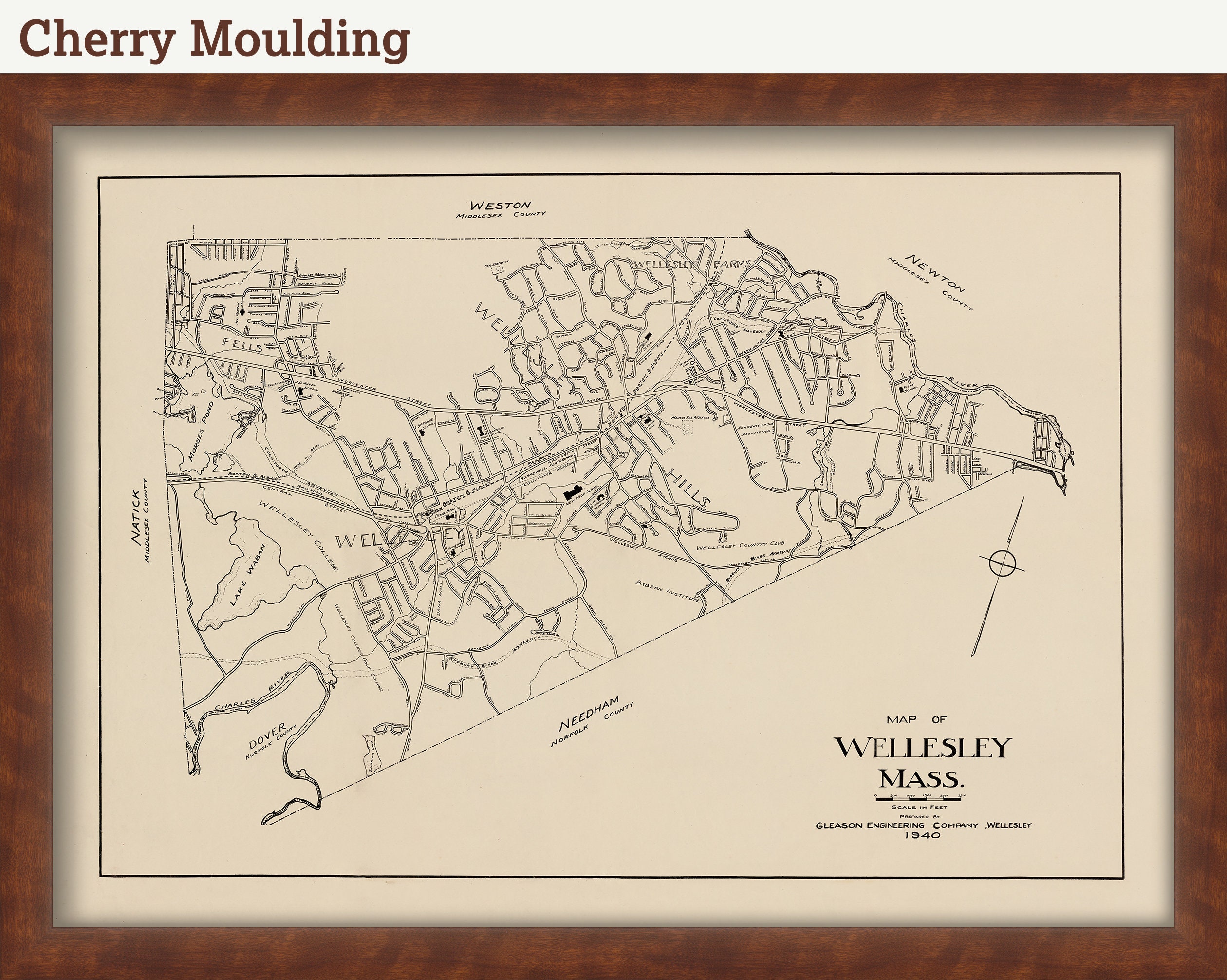
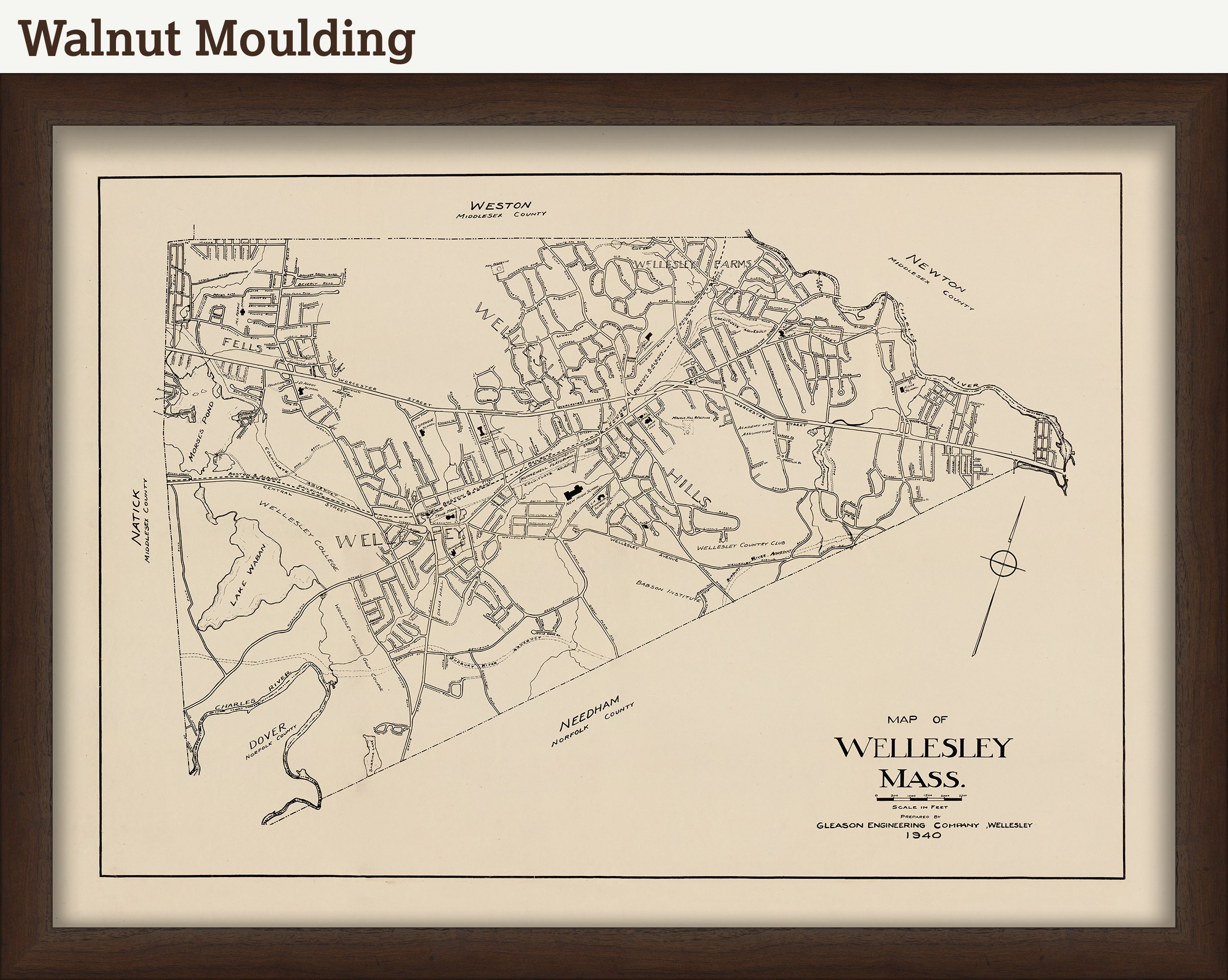
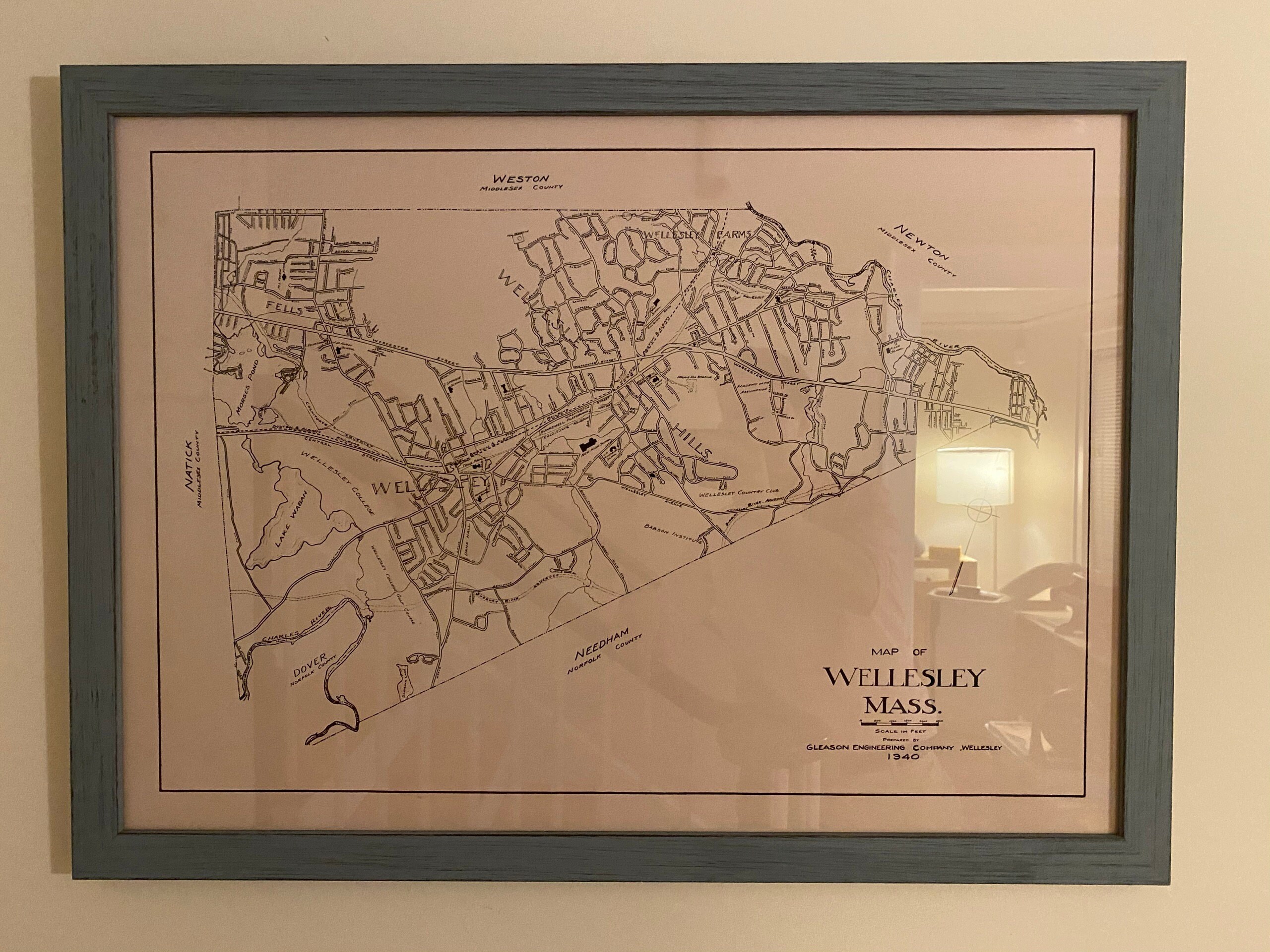
Framed maps include drymounting, UV filtering glass, and your choice of five mouldings, wired and ready to hang upon delivery. All mouldings are 1.5" wide. The frame will add an additional 3" to the listed print size.
This map has been scanned From The Original at 600 dpi using state of the art equipment. The replica map is printed on heavy matte fine art paper using archival pigment inks. This is one of over 5000 Original maps, charts and posters in our collection..
Custom sizes are available. If you are interested in a custom size, please let us know through the "ask a question" button in this listing.
Retailers who would like to carry our Maps, please contact us through the "ask a question" button in this listing, for information and discounts.
0668
Shipping from United States
Processing time
1-3 business days
Customs and import taxes
Buyers are responsible for any customs and import taxes that may apply. I'm not responsible for delays due to customs.
Payment Options
Returns & Exchanges
Returns & exchanges not accepted
But please contact me if you have problems with your order
I gladly accept cancellations
Request a cancellation within: 1 hours of purchase
Reviews (2)
Average:
Dec 20, 2020
The map is great and the frame is beautiful and solid. Definitely recommend!
chaorder
Aug 20, 2020
The framed map was absolutely gorgeous, with an incredible print quality and excellent resolution. I did have the opportunity to speak to the shop owner regarding expedited shipping, and he was very responsive. I’ve already recommended this shop to a friend.
Kev Gipson