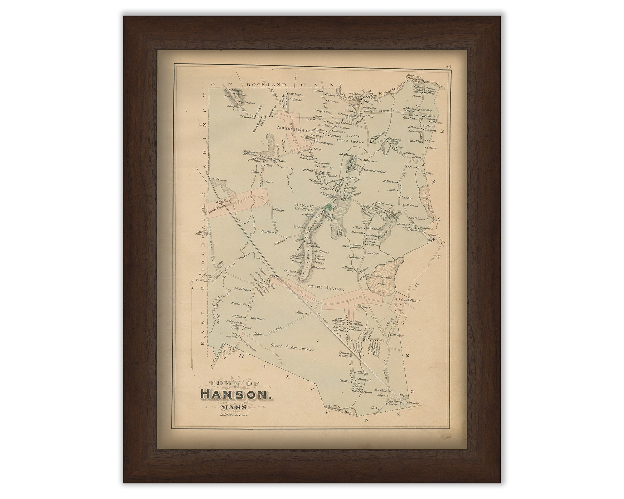
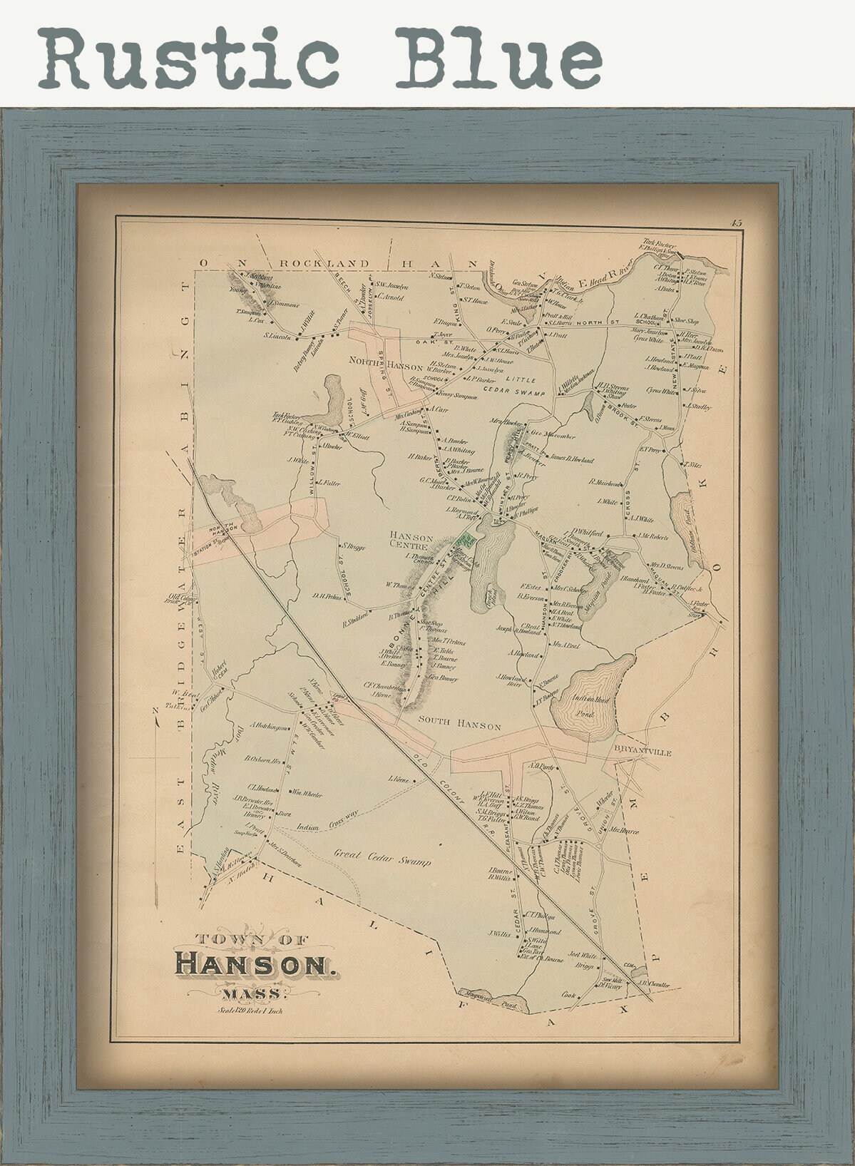
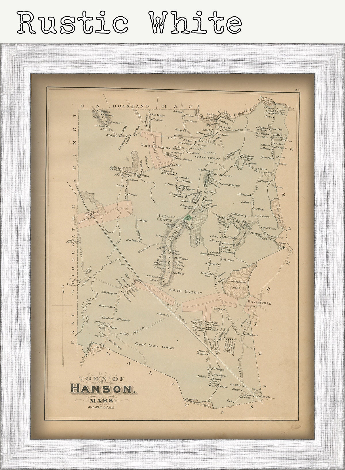
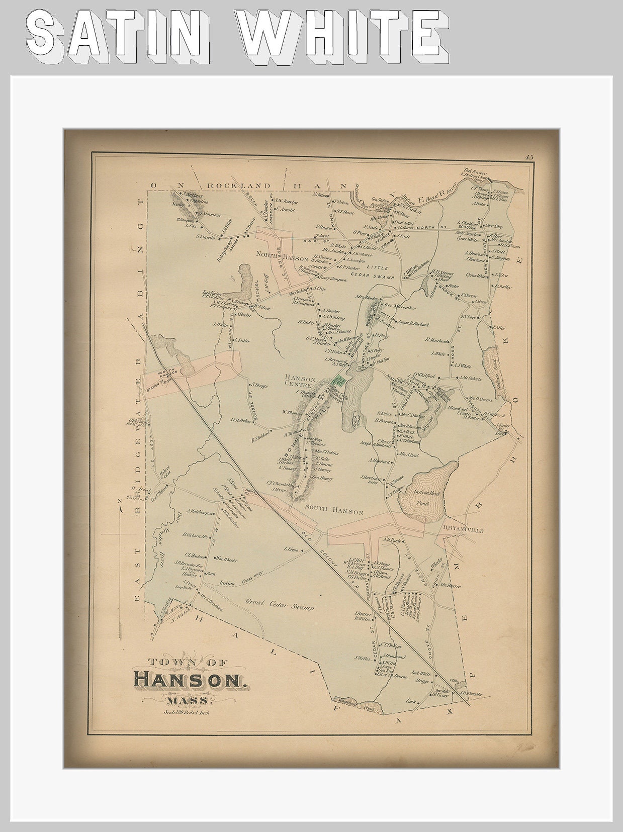
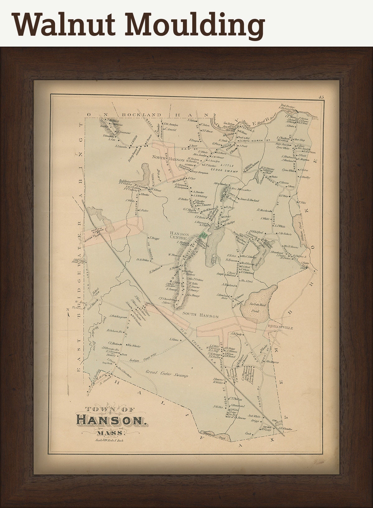
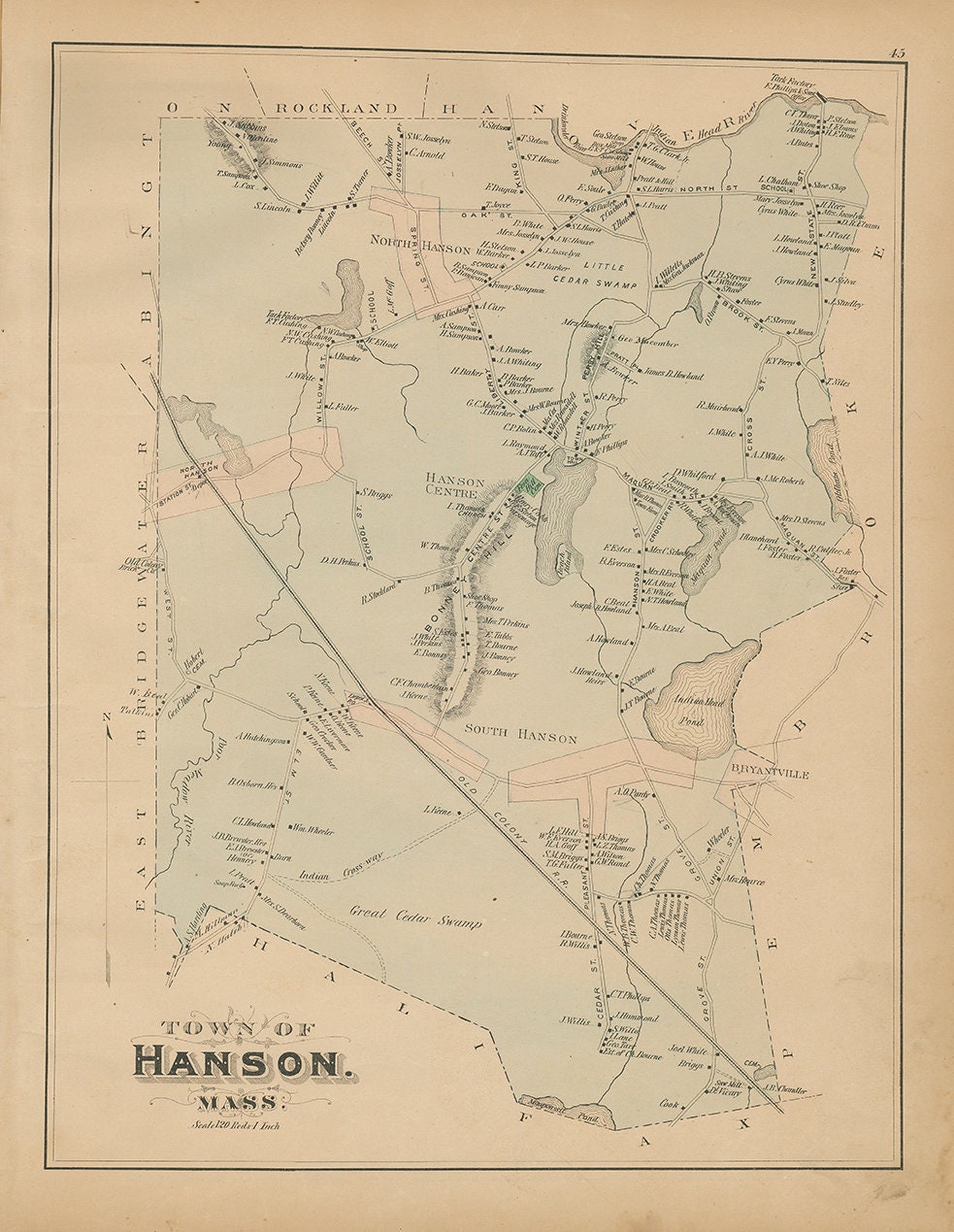
GENUINE ORIGINAL MAP of the Town of HANSON, from the 1879 Atlas of Plymouth County Mass. published by Geo. H. Walker & Co. Boston, 61 Hanover St. Boston Mass.
CONDITION: light stains in margins, slight creases, edge toning and wear, chipping.
Dimensions of the map are: 13" wide by 18" tall.
Framed Dimensions are: 16" wide by 21" tall.
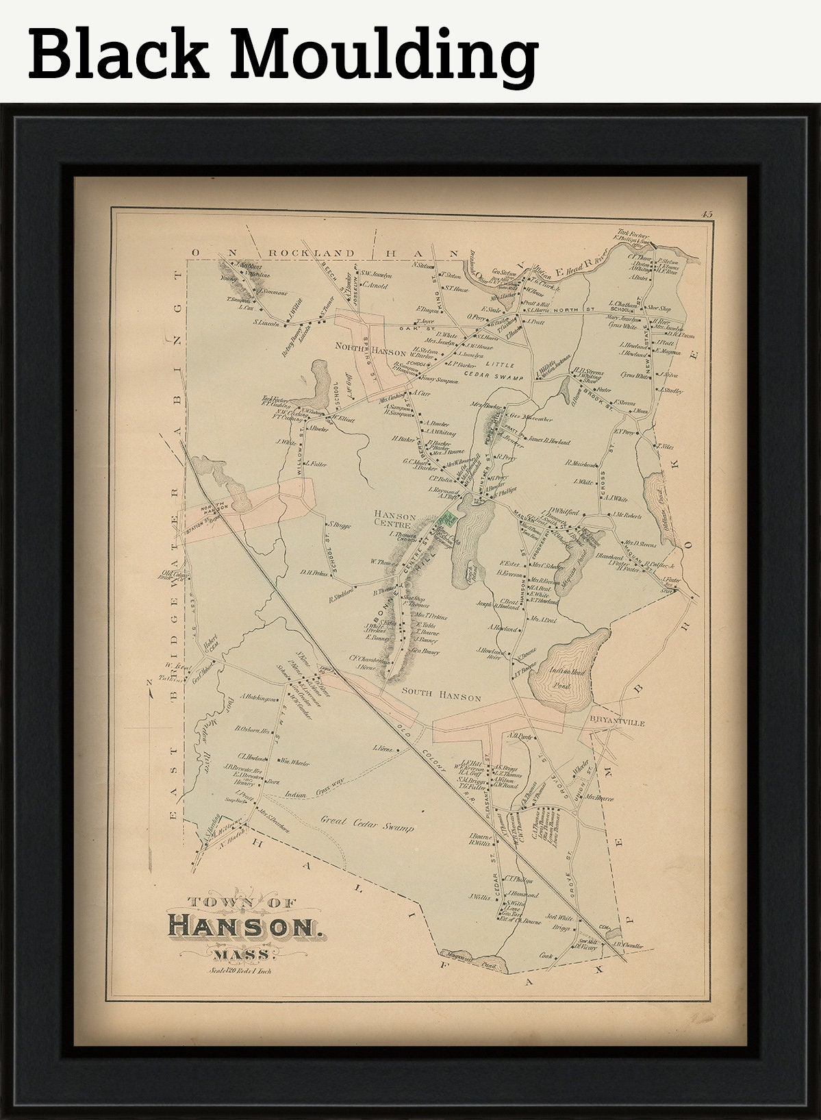
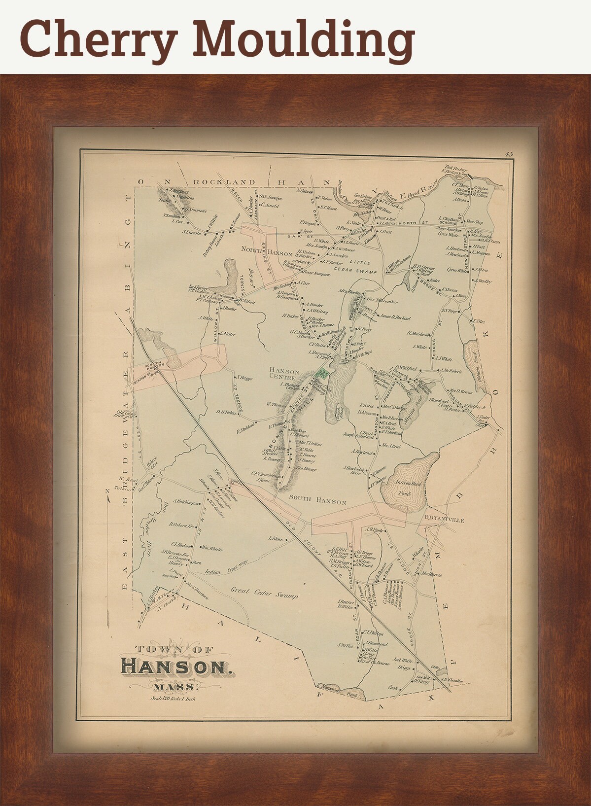
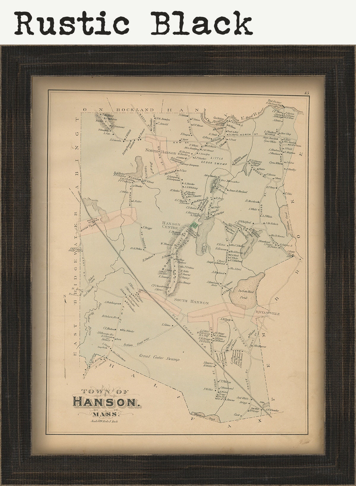
FRAMED ORIGINAL maps include: museum quality backing board, UV filtering glass, and your choice of mouldings, wired and ready to hang upon delivery.
If you would like to inspect a higher resolution version of this map, please copy and paste this url into a new tab in your browser:
0019-original
Shipping from United States
Processing time
1-3 business days
Customs and import taxes
Buyers are responsible for any customs and import taxes that may apply. I'm not responsible for delays due to customs.
Payment Options
Returns & Exchanges
Returns & exchanges not accepted
But please contact me if you have problems with your order
I gladly accept cancellations
Request a cancellation within: 1 hours of purchase