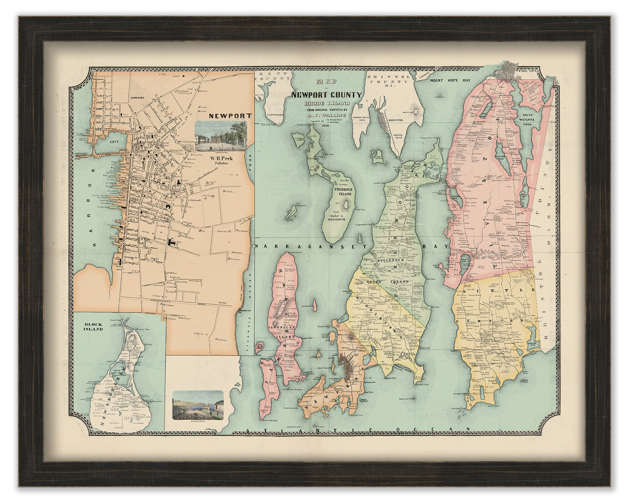
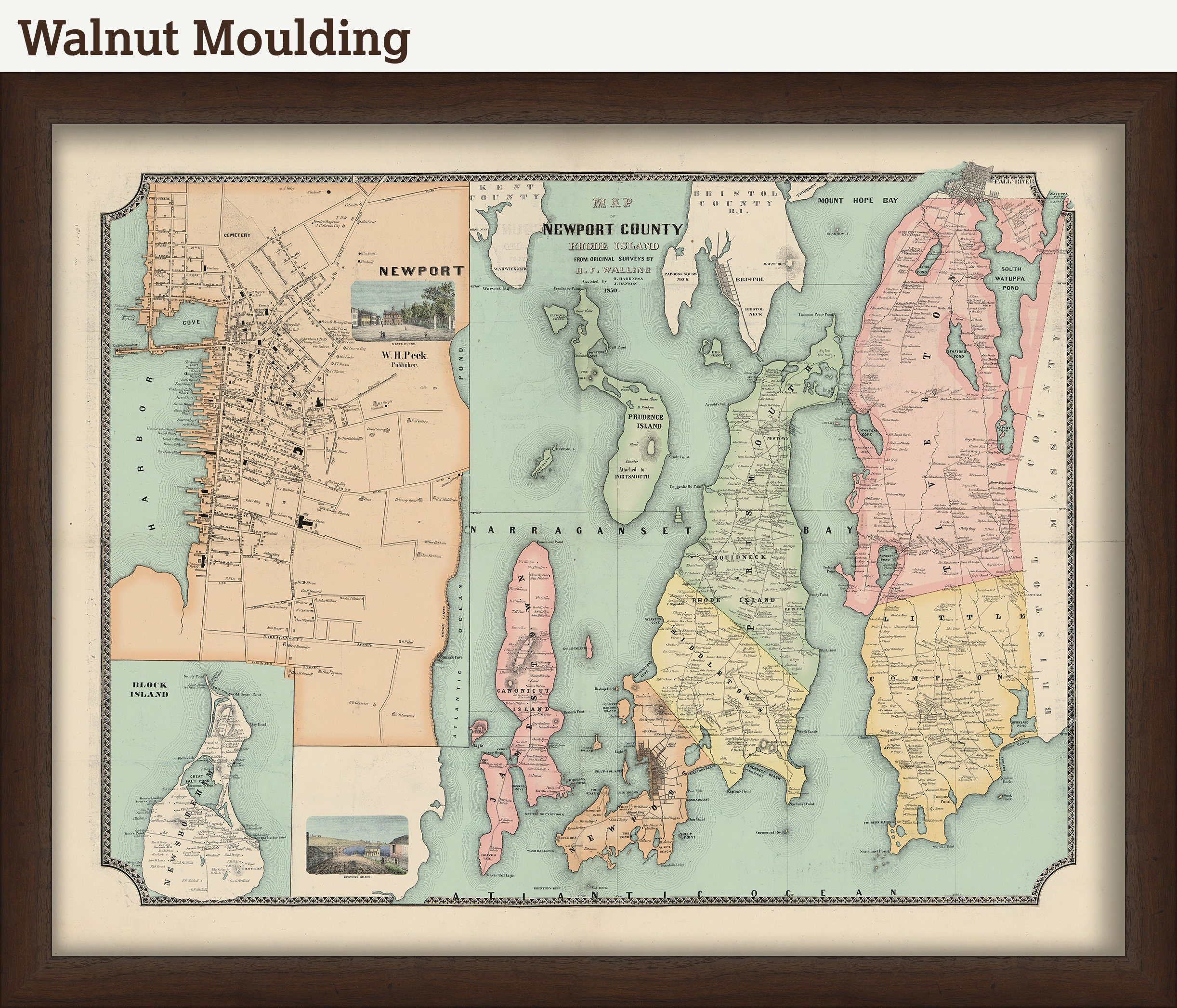
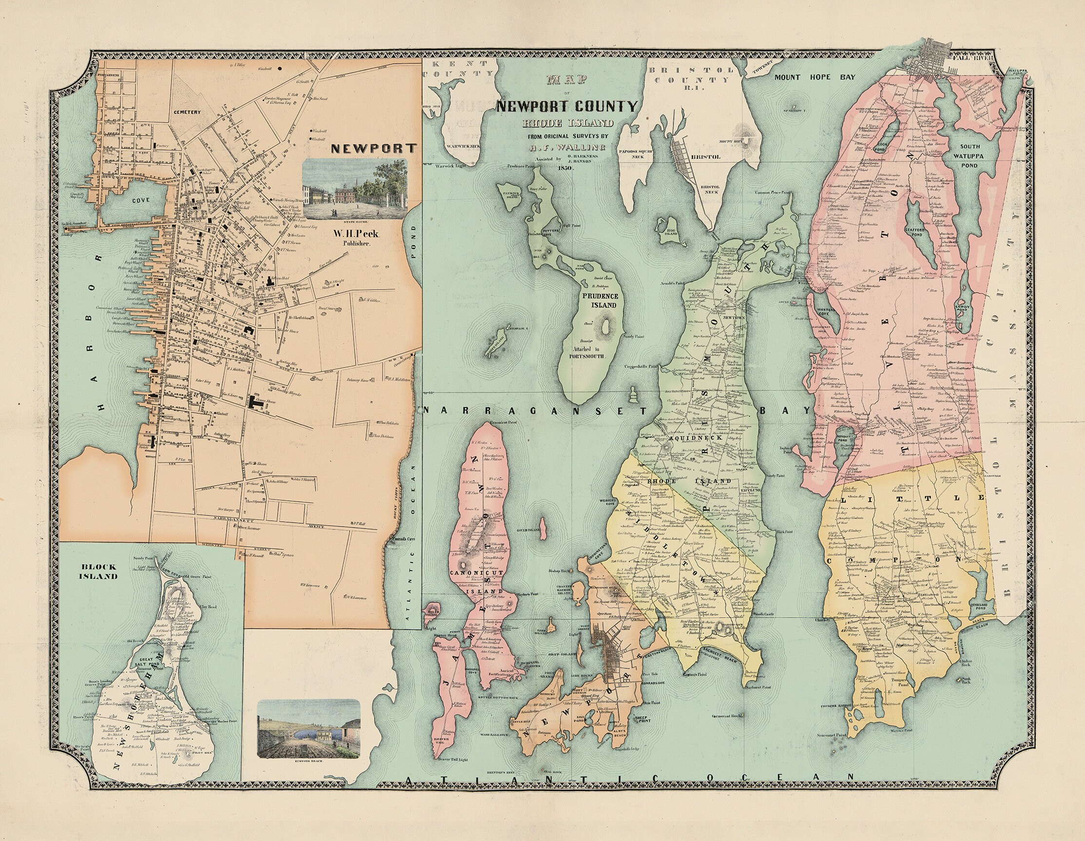
Map of Newport County, Rhode Island, H.F. Walling 1850 - Colored Version - 0658
$39.00
A reproduction of an antique map of Newport County, Rhode Island originally published in 1850 printed on heavy matte fine art paper. Newport County, as it was in 1850, was comprised of the towns and cities of Tiverton, Little Compton, Portsmouth, Middletown, Newport, and Jamestown. Fall River, Bristol, and Block Island/New Shoreham are also depicted towards the periphery. This is a early and detailed map of the area featuring the names and locations of property owners, local businesses, churches, forts, and lighthouses.
This map has been based on a file found in the library of congress. We have colored it to give it addition visual interest. The original file can be downloaded here:
https://www.loc.gov/item/2013591358/
A high resolution, watermarked file of our colored interpretation can be downloaded here:
https://rmicusec.sirv.com/etsy/Newport%20County%201850.jpg
The colors of this map can be customized. If you have different colors in mind please let us know. The additional charge for custom colors is $65.
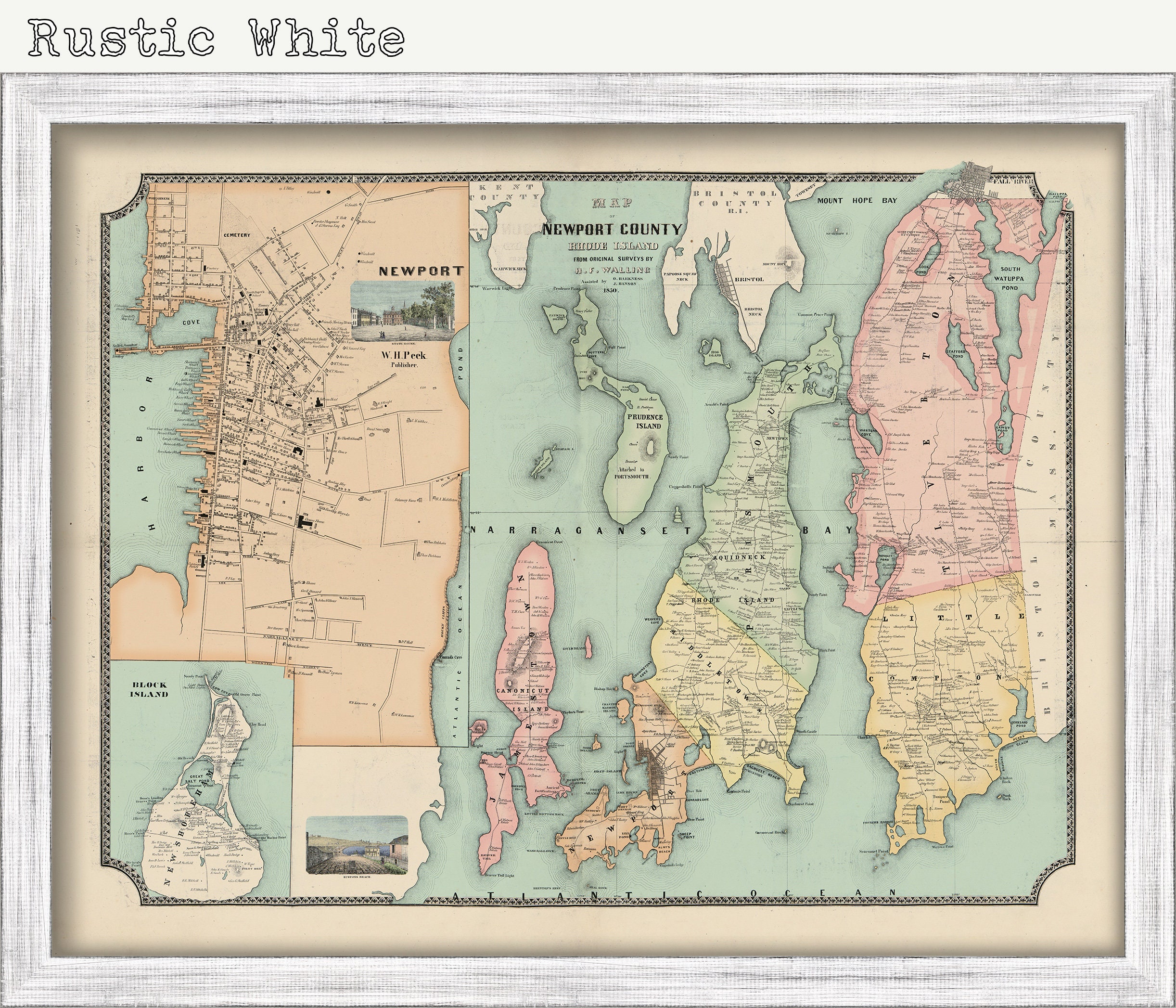
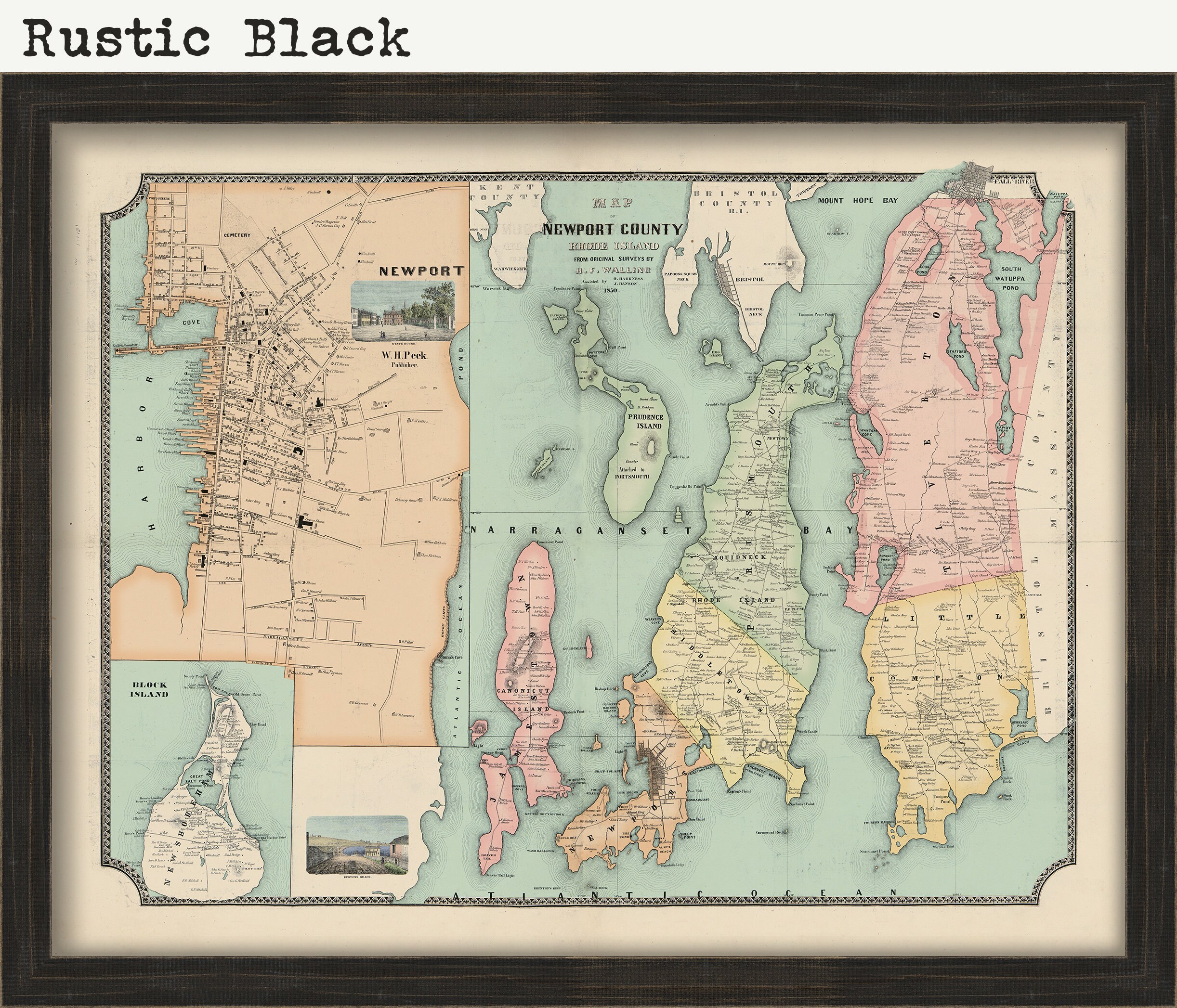
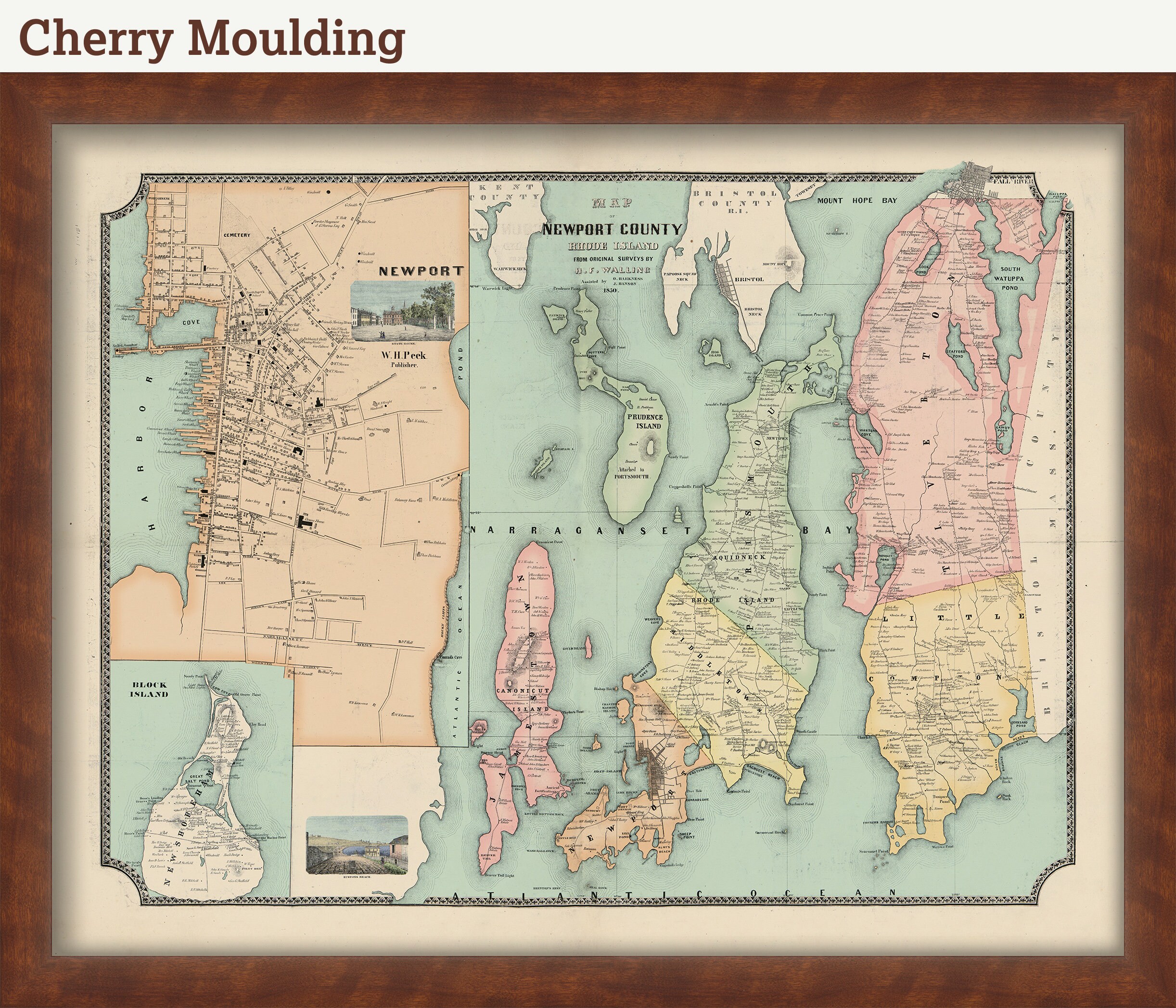
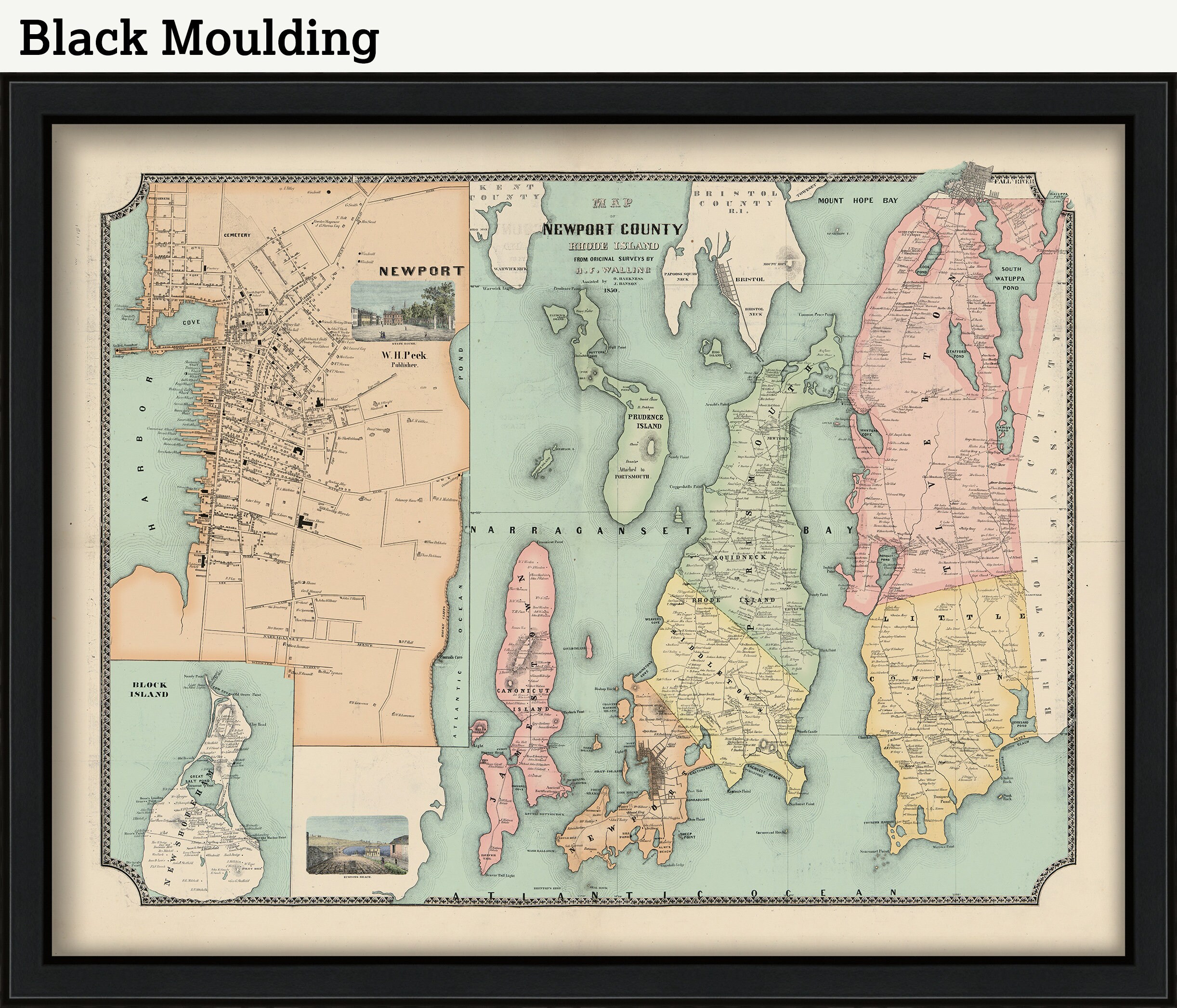
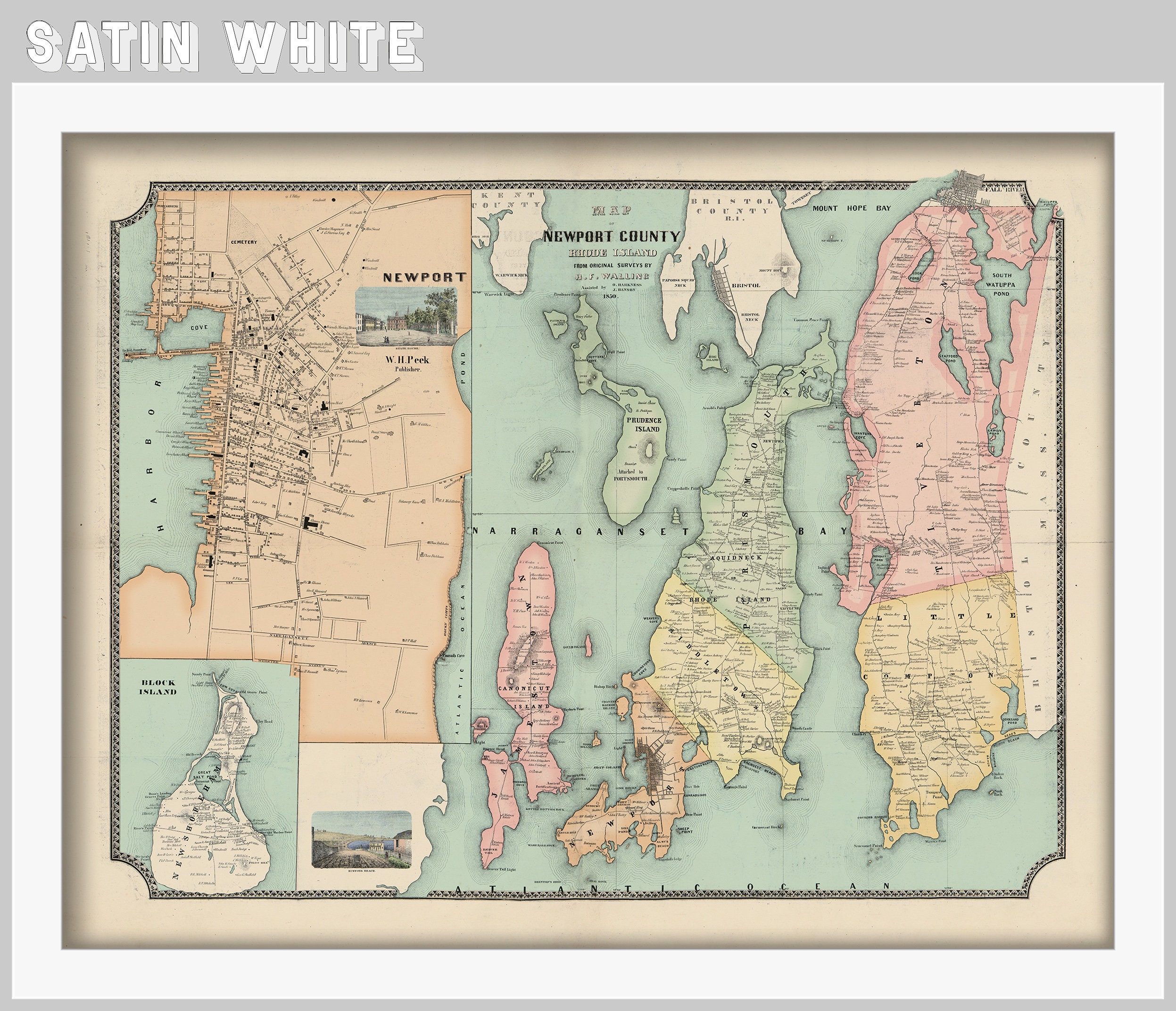
Framed posters include drymounting, UV filtering glass, and your choice of moulding, wired and ready to hang upon delivery. All mouldings are approximately 1.5" wide. Please factor in an additional 3" to the listed size for framed items.
Larger sized are not offered framed due to size restrictions on shipments via common carriers. If you are local to Hanover, MA or would like a freight quote on a large framed item, please contact us.
Retailers who would like to carry our Maps, please contact us through the "ask a question" button in this listing, for information and discounts.
0658
Shipping from United States
Processing time
1-3 business days
Customs and import taxes
Buyers are responsible for any customs and import taxes that may apply. I'm not responsible for delays due to customs.
