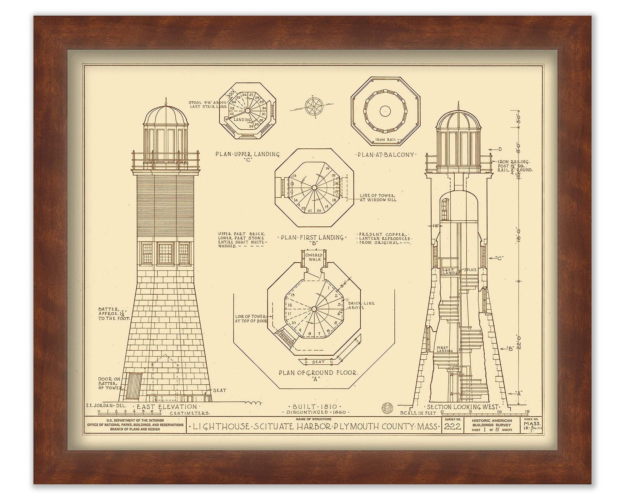
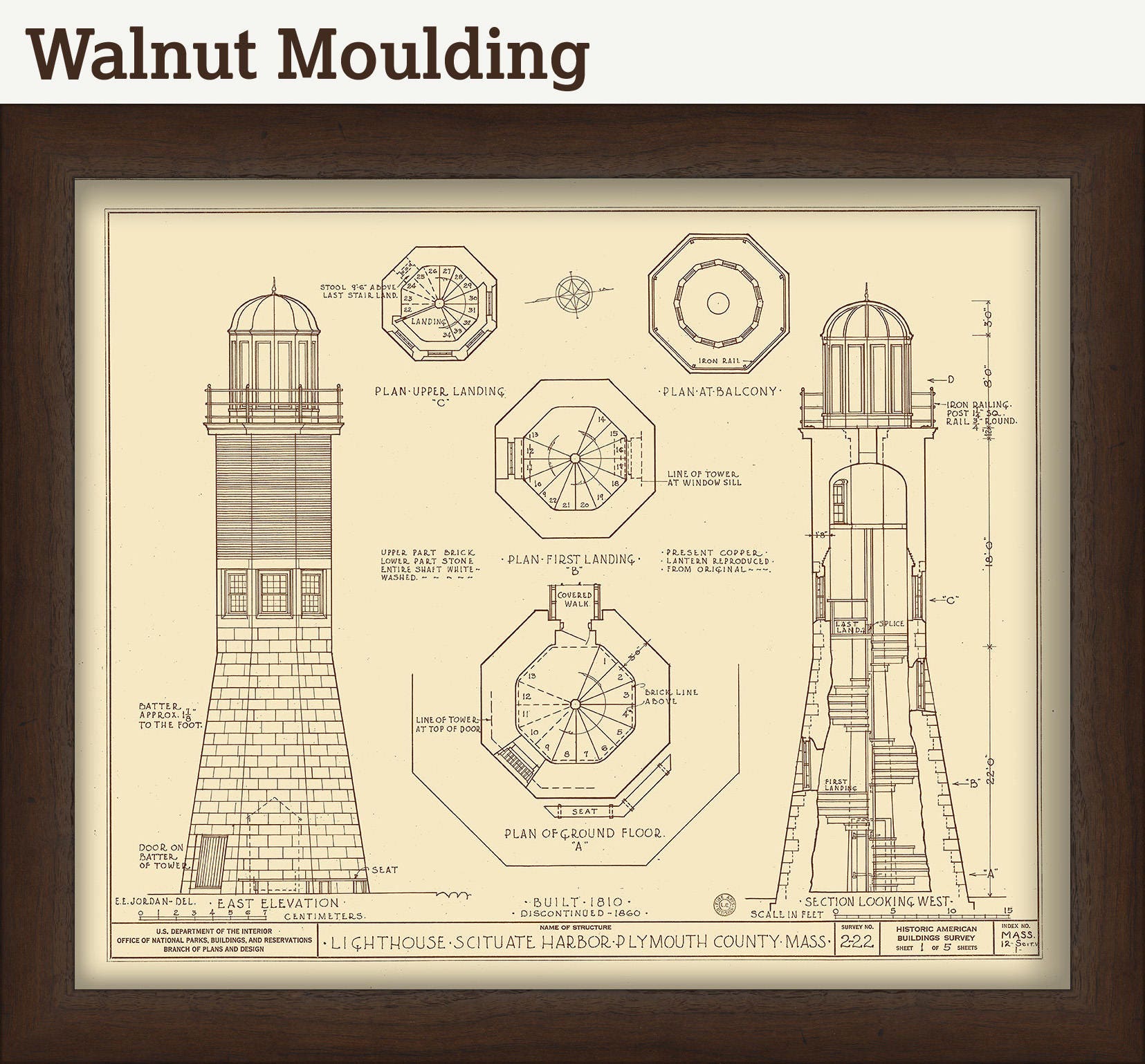
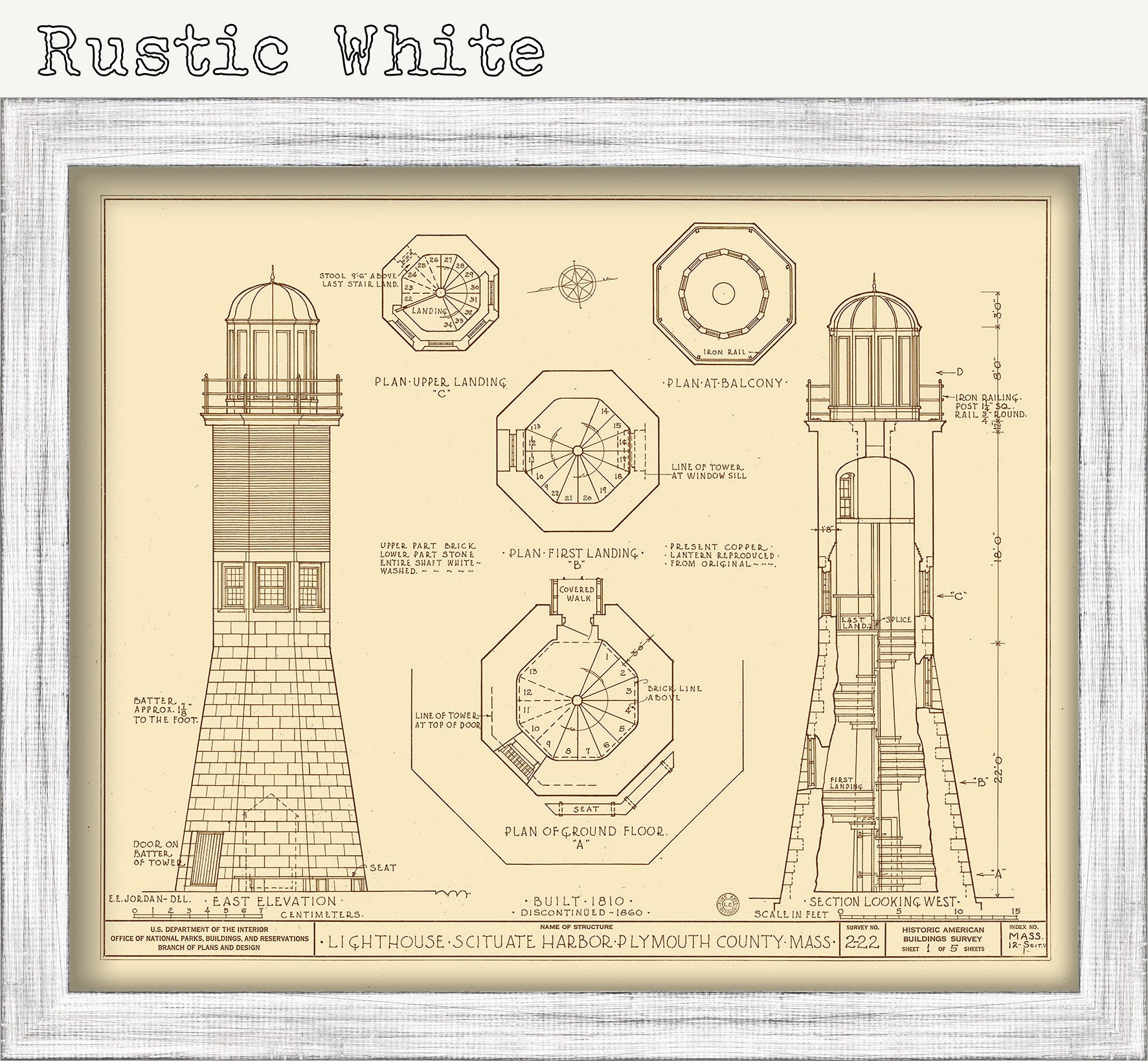
Architectural Drawings of Sciuate Light House built in1810. In May, 1810, the Federal Government appropriated $4,000 for a lighthouse to be built at the entrance of Scituate Harbor. The lighthouse was completed two months ahead of schedule, on September 19, 1811, making it the 11th lighthouse in the United States. In September, 1814, during the War of 1812, Rebecca and Abagail Bates ("The Lighthouse Army of Two") warded off an attack by British soldiers by playing their fife and drum loudly. The British retreated since they thought the sound came from the Scituate Town Militia.
Dimensions of the Map are: 16" wide by 20" tall.
Framed Dimensions are: 19" wide by 23" tall.
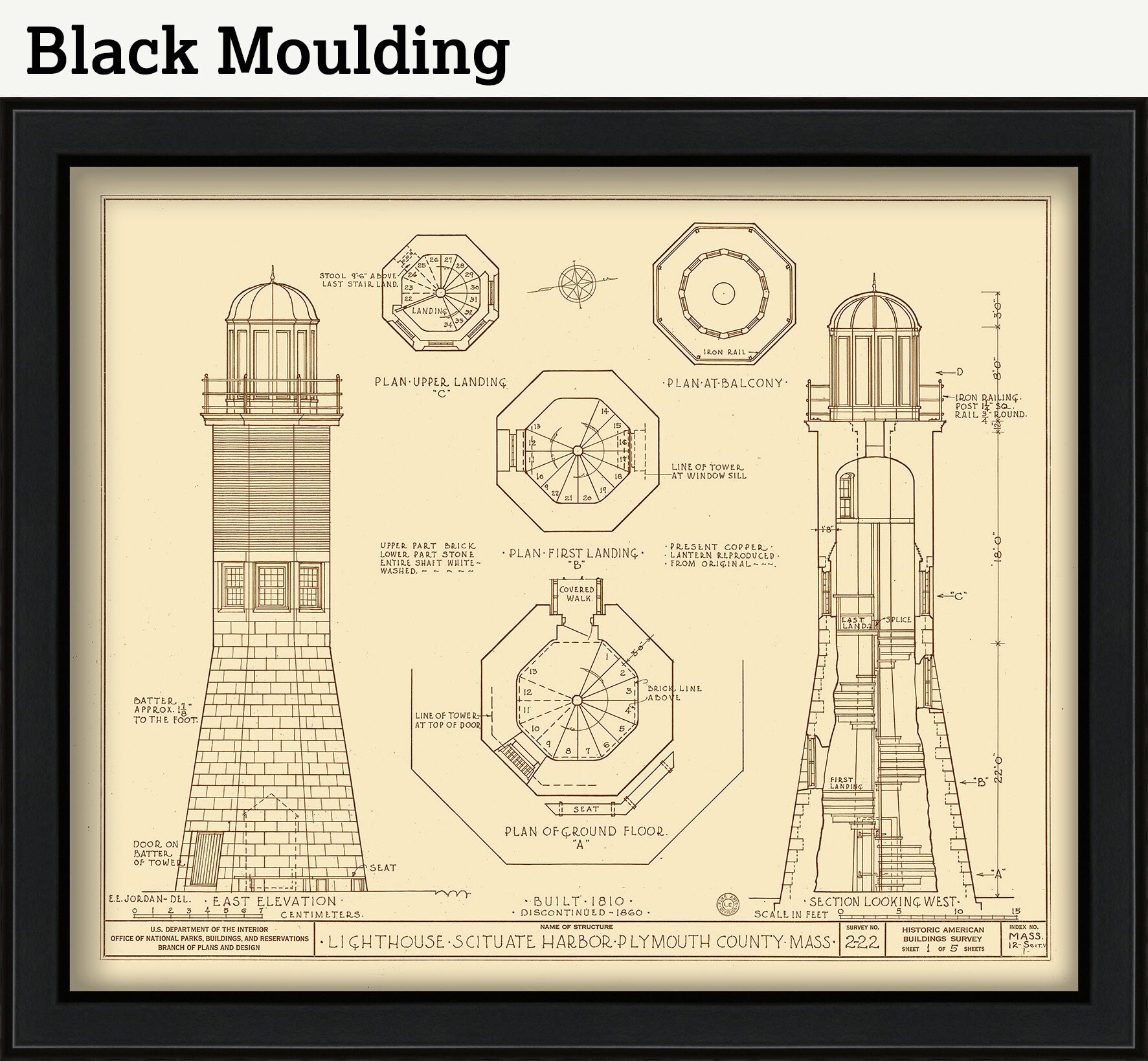
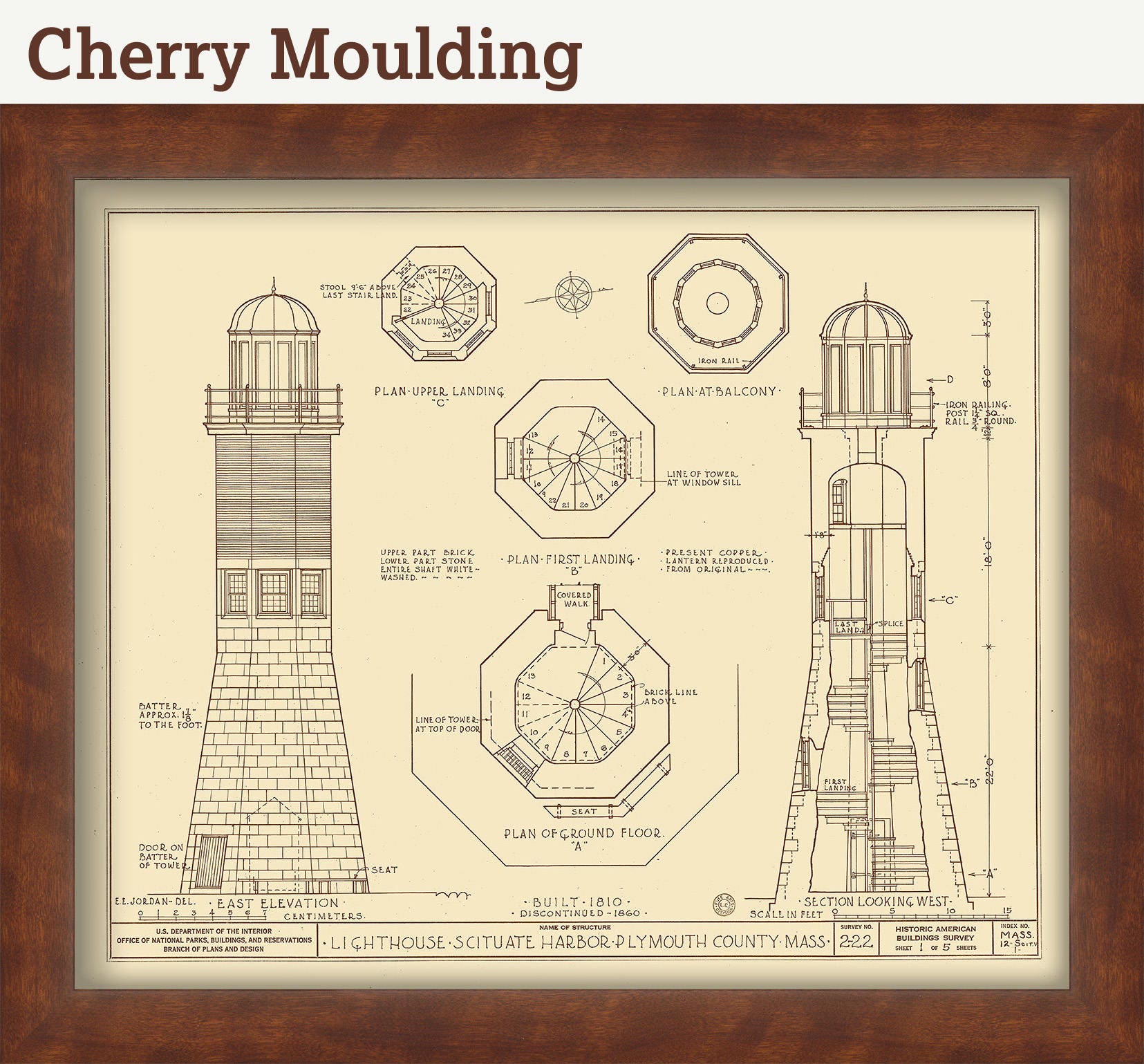
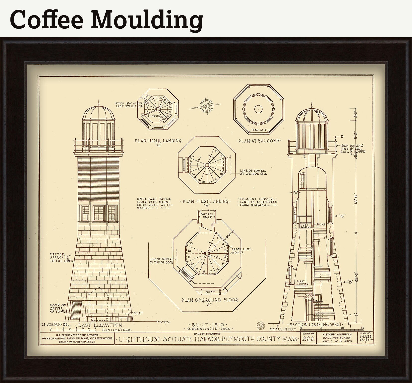
Framed maps include drymounting, UV filtering glass, and your choice of five mouldings, wired and ready to hang upon delivery.
This map has been scanned at 300 dpi using state of the art equipment. The replica map is printed on heavy matte fine art paper using archival pigment inks.
0290
Shipping from United States
Processing time
1-3 business days
Customs and import taxes
Buyers are responsible for any customs and import taxes that may apply. I'm not responsible for delays due to customs.
Payment Options
Returns & Exchanges
I gladly accept cancellations
Reviews (2)
Average:
Jul 19, 2022
Great map! Looks great in frame.
Aug 8, 2019
