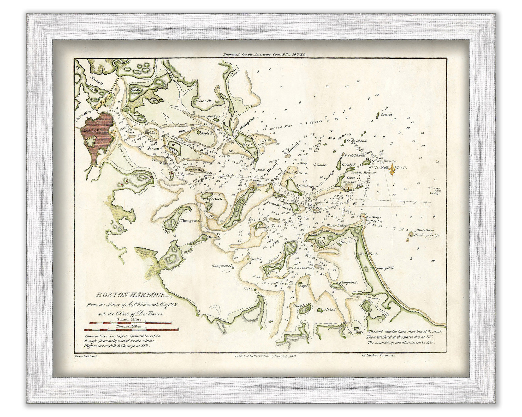
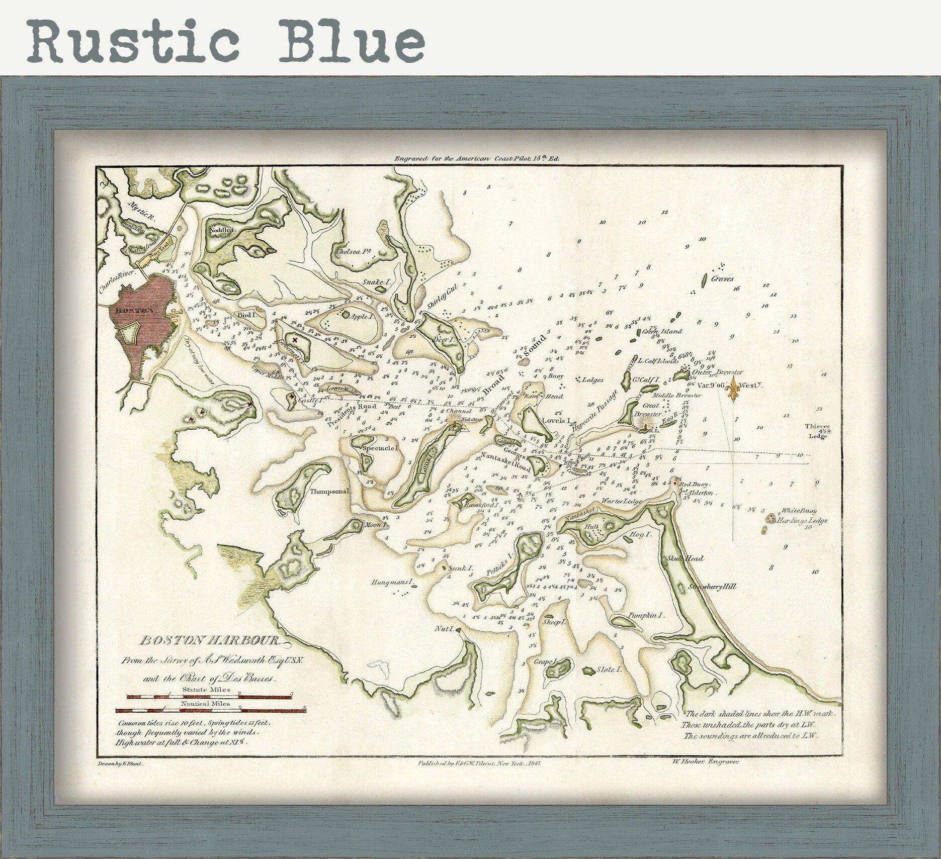
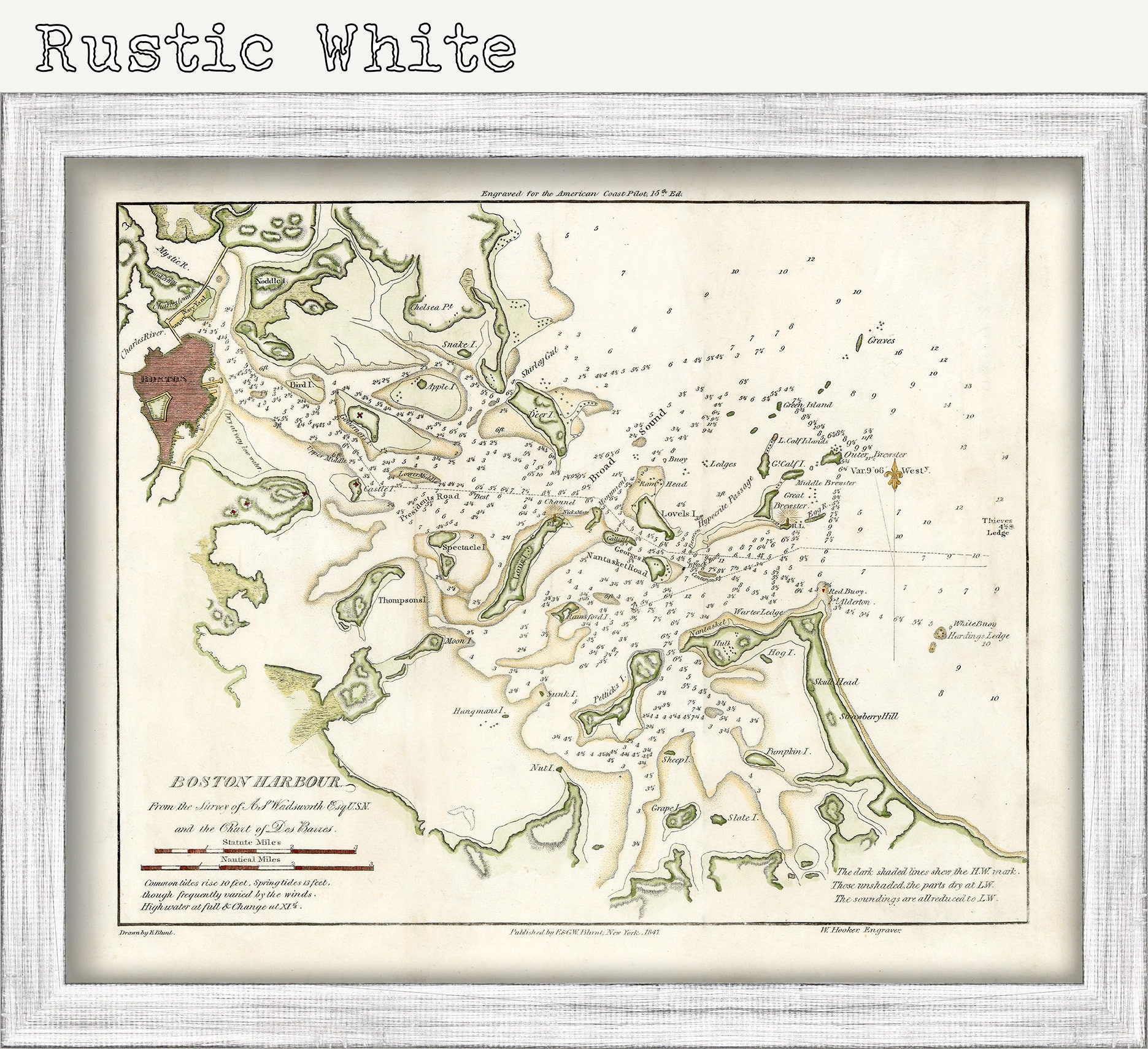

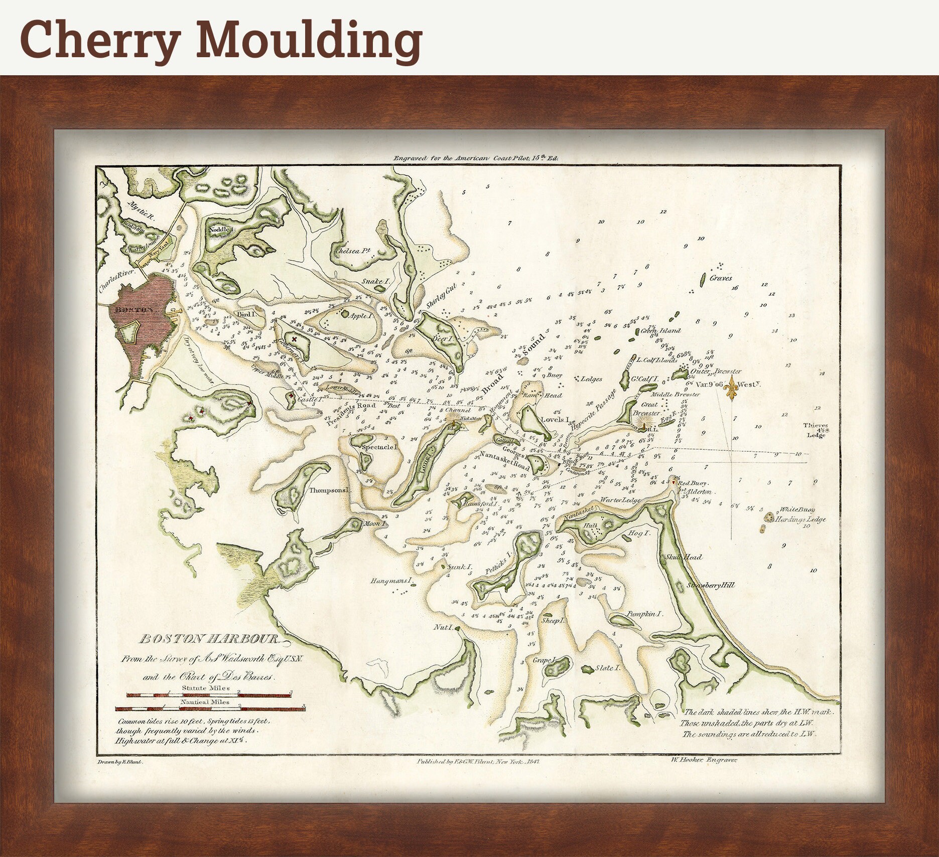

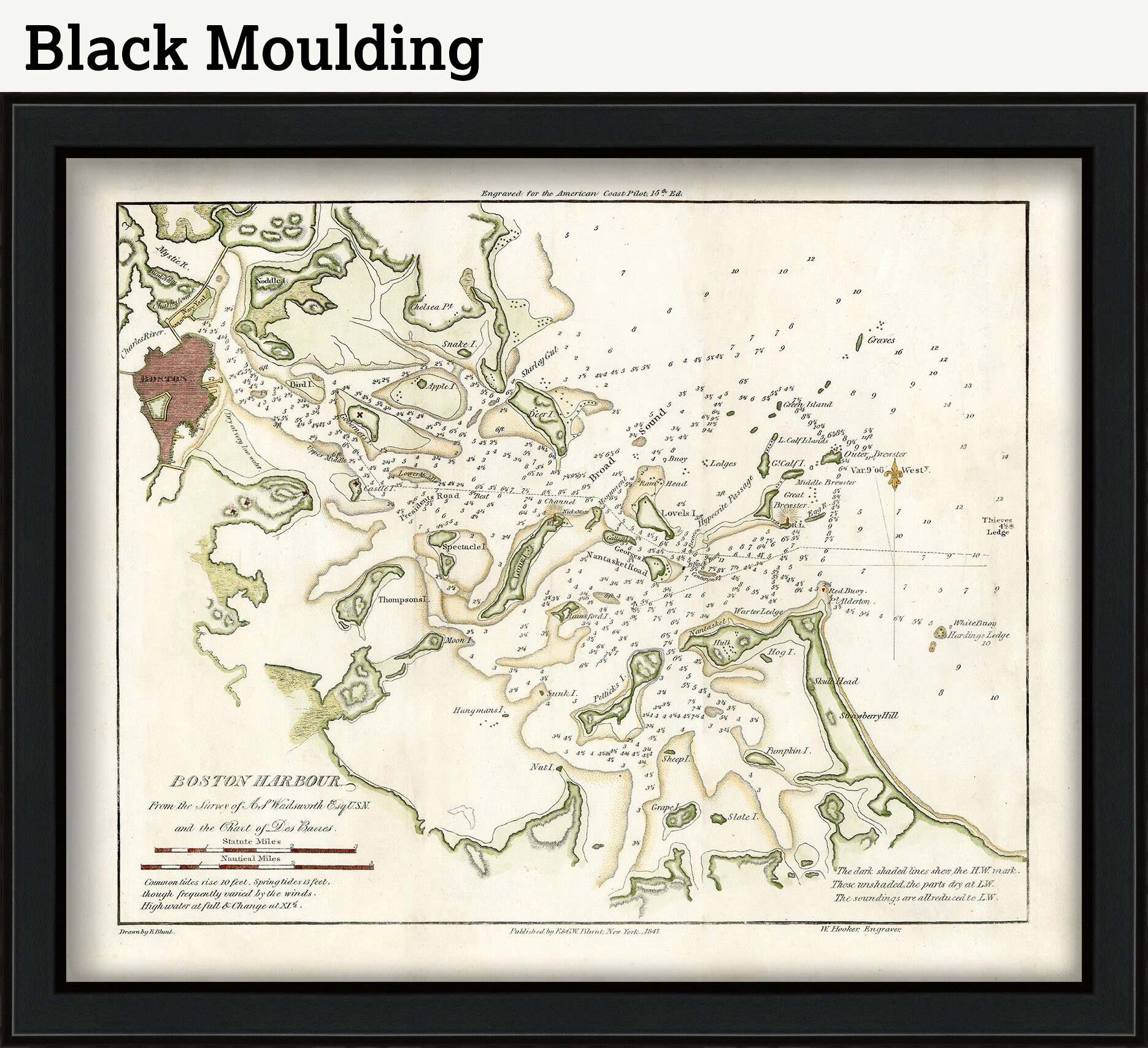
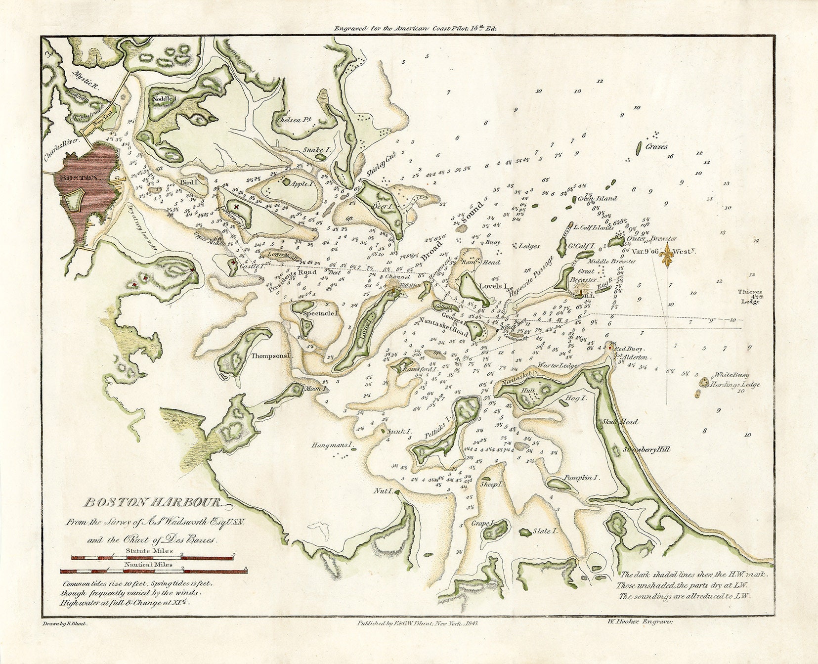
0486-Boston Harbor 1847 - Nautical Chart by Edmund Blunt
$50.00
A Reproduction Nautical Chart of Boston Harbor by Edmund Blunt originally published in 1847.
Edmund Blunt [1799-1866] was the son of New York publisher Edmund March Blunt. He worked as a surveyor for his father’s company and eventually became assistant to Ferdinand Rudolph Hassler on the U.S. Coast Survey.
Custom sizes are available. If you are interested in a custom size, please let us know through the "ask a question" button in this listing
This map has been scanned at 300 dpi using state of the art equipment. The replica map is printed on heavy matte fine art paper using archival pigment inks.
0486
Shipping from United States
Processing time
1-3 business days
Customs and import taxes
Buyers are responsible for any customs and import taxes that may apply. I'm not responsible for delays due to customs.
Payment Options
Returns & Exchanges
Returns & exchanges not accepted
But please contact me if you have problems with your order
I gladly accept cancellations
Request a cancellation within: 1 hours of purchase