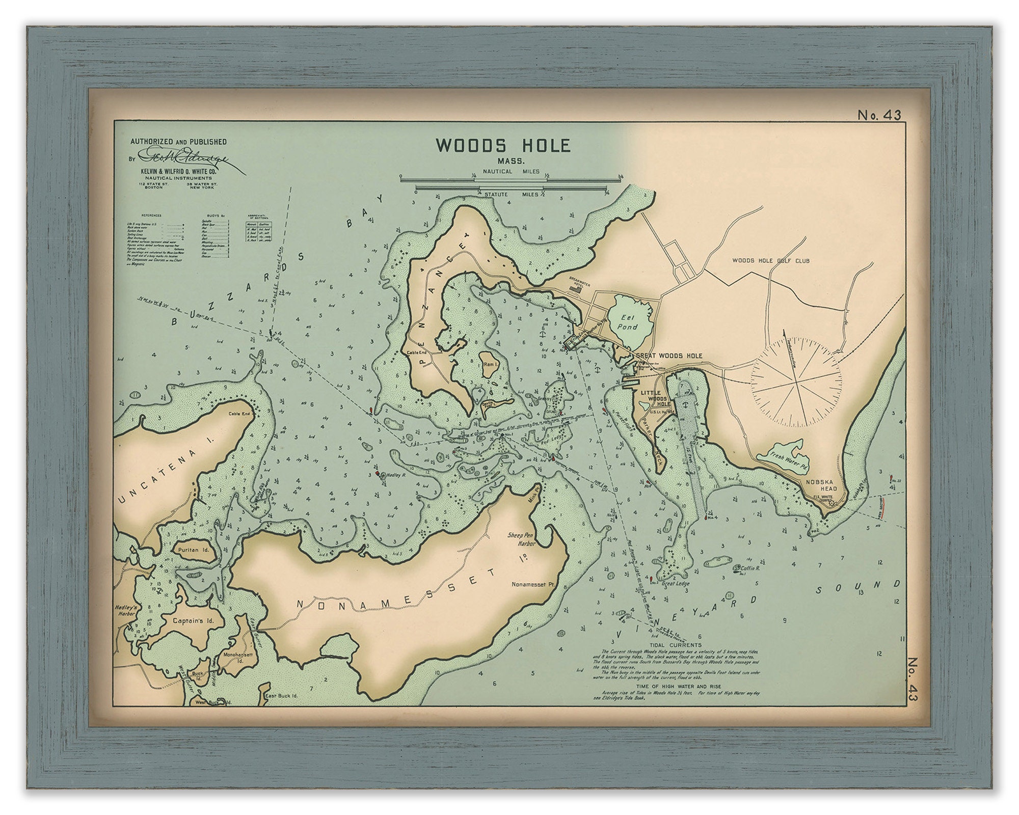
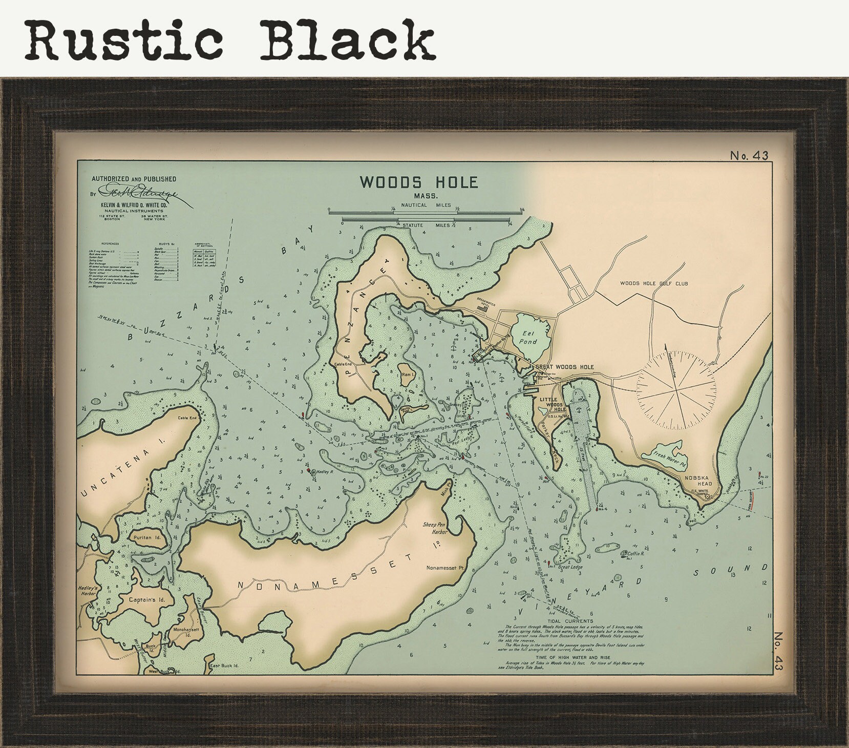
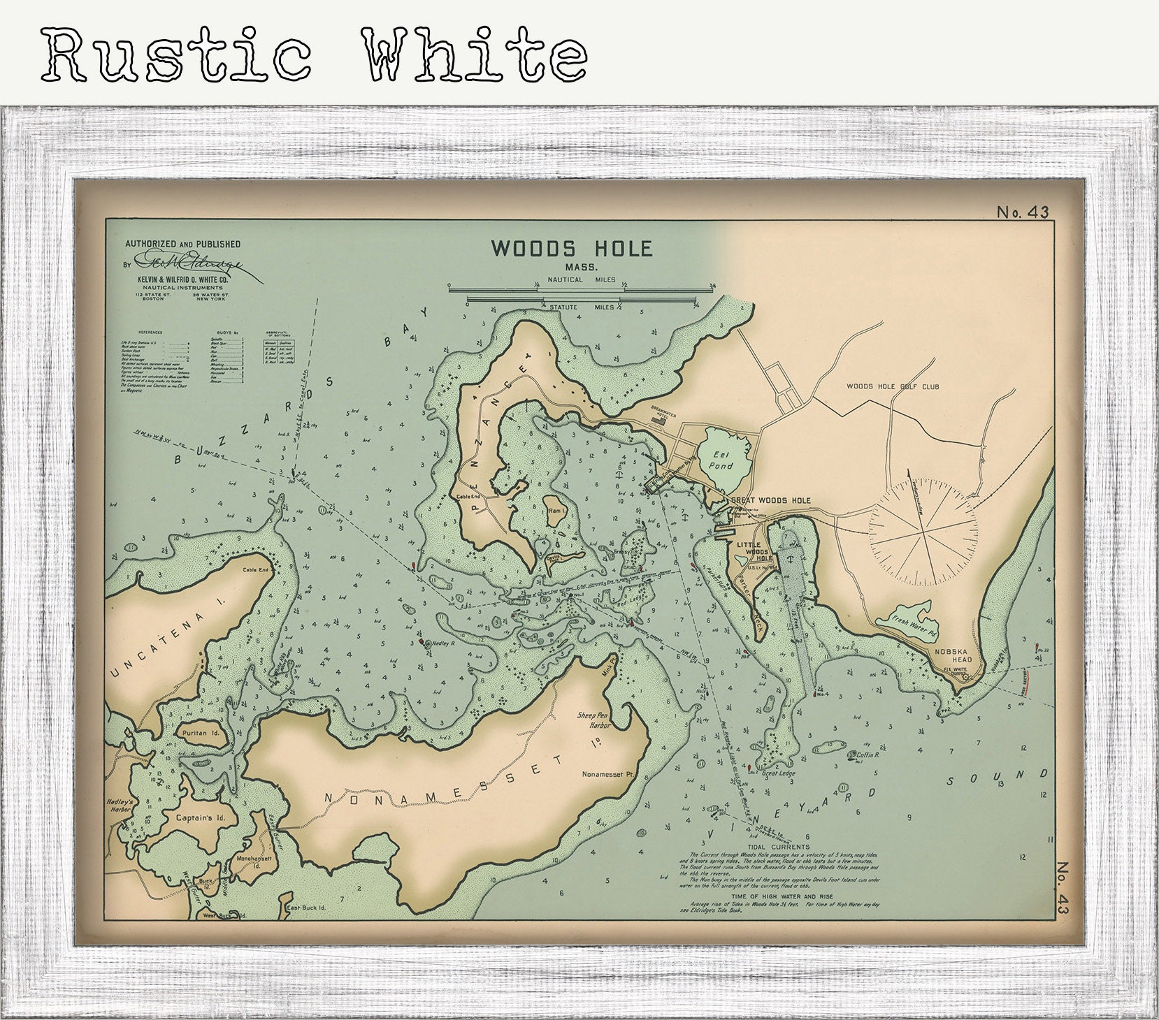
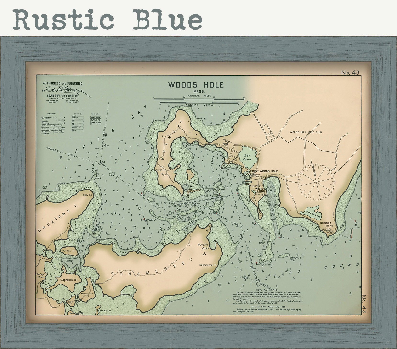

Woods Hole, Falmouth, Massachusetts - Nautical Chart by George W. Eldridge 1901 Colored Version
$40.00
A Nautical Chart of Woods Hole, Cape Cod, Massachusetts by George W. Eldridge originally published in 1901. This map is from the atlas "Geo. W. Eldrige's Harbor-Chart Book, New York to Boston". Eldridge Charts are renowned for bold lines and a clear and concise style.
Dimensions of the Map are: 20" wide by 15" tall
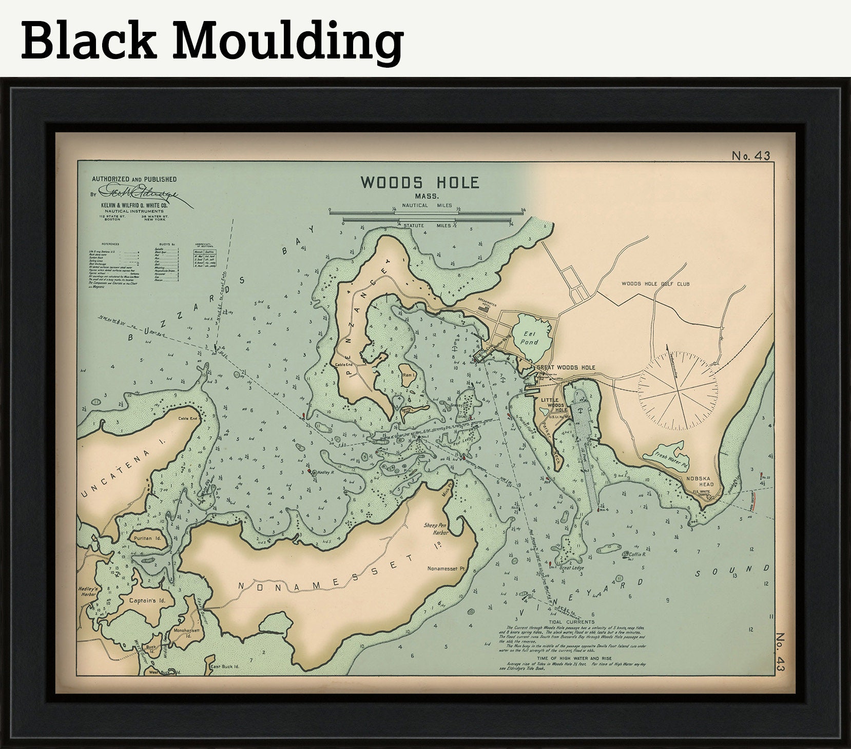
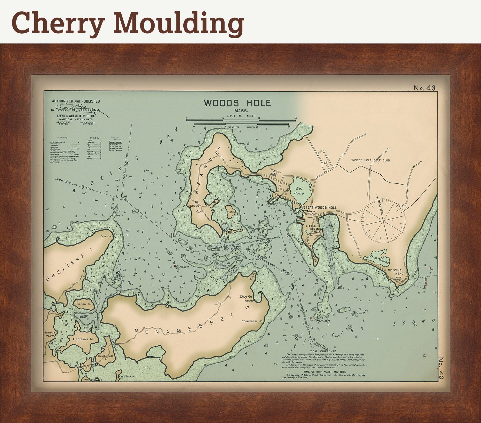
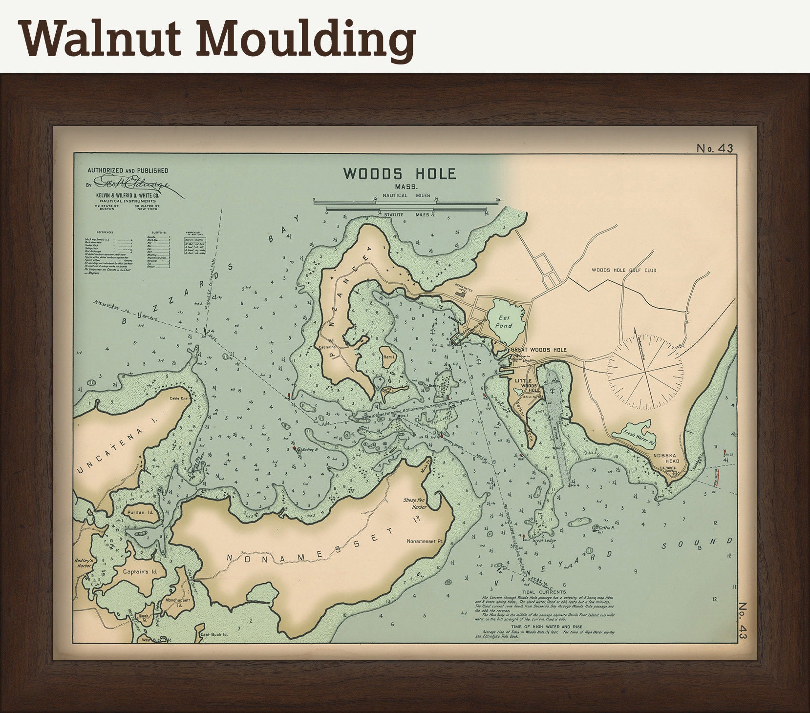
Framed Dimensions are: 23" wide by 18" tall
This map has been scanned at 600 dpi using state of the art equipment. The replica map is printed on heavy matte fine art paper using archival pigment inks.
If you would like to inspect a higher resolution version of this map, please copy and paste this url into a new tab in your browser:
http://rmicusec.sirv.com/etsy/nybc043.jpg
0340
Shipping from United States
Processing time
1-3 business days
Customs and import taxes
Buyers are responsible for any customs and import taxes that may apply. I'm not responsible for delays due to customs.
Payment Options
Returns & Exchanges
Returns & exchanges not accepted
But please contact me if you have problems with your order
I gladly accept cancellations
Request a cancellation within: 1 hours of purchase
Reviews (1)
Average:
Feb 8, 2021
Awesome map- nice frame and delivered quick
loustl