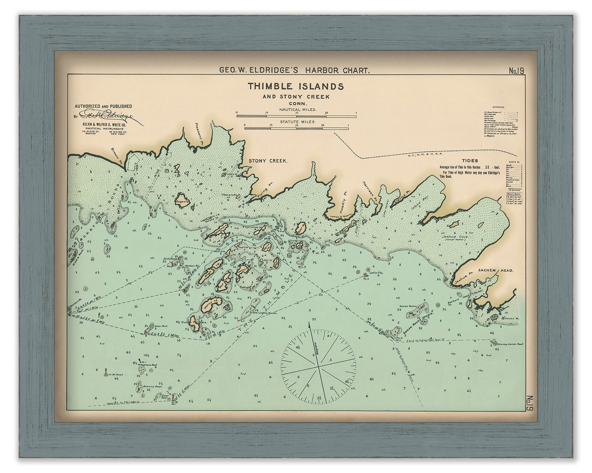
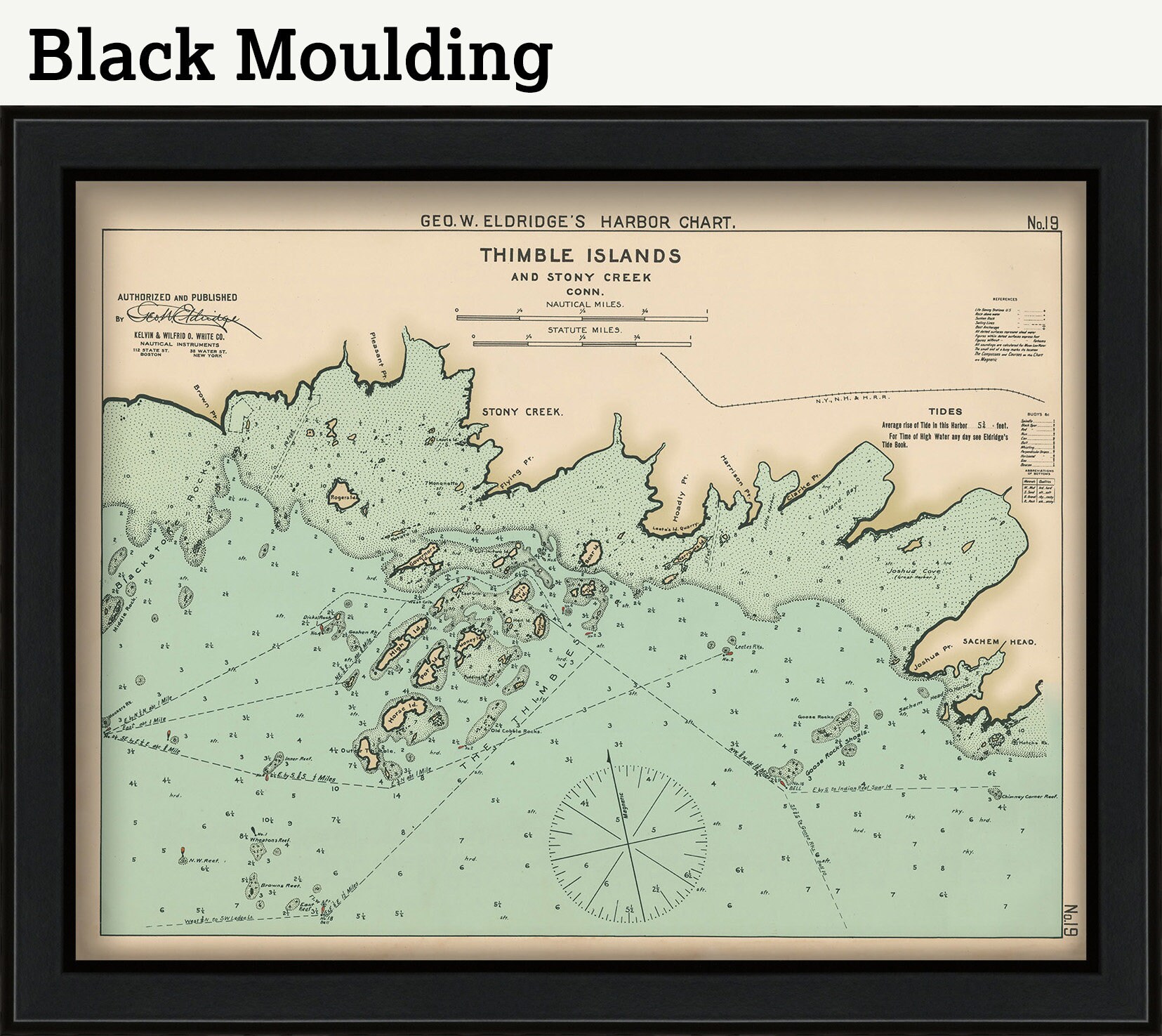
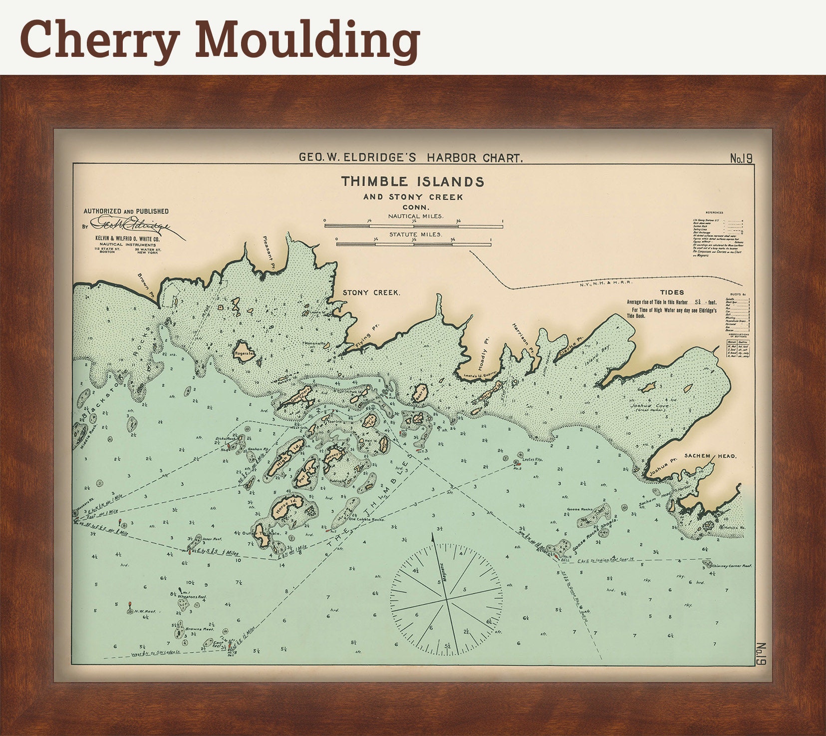
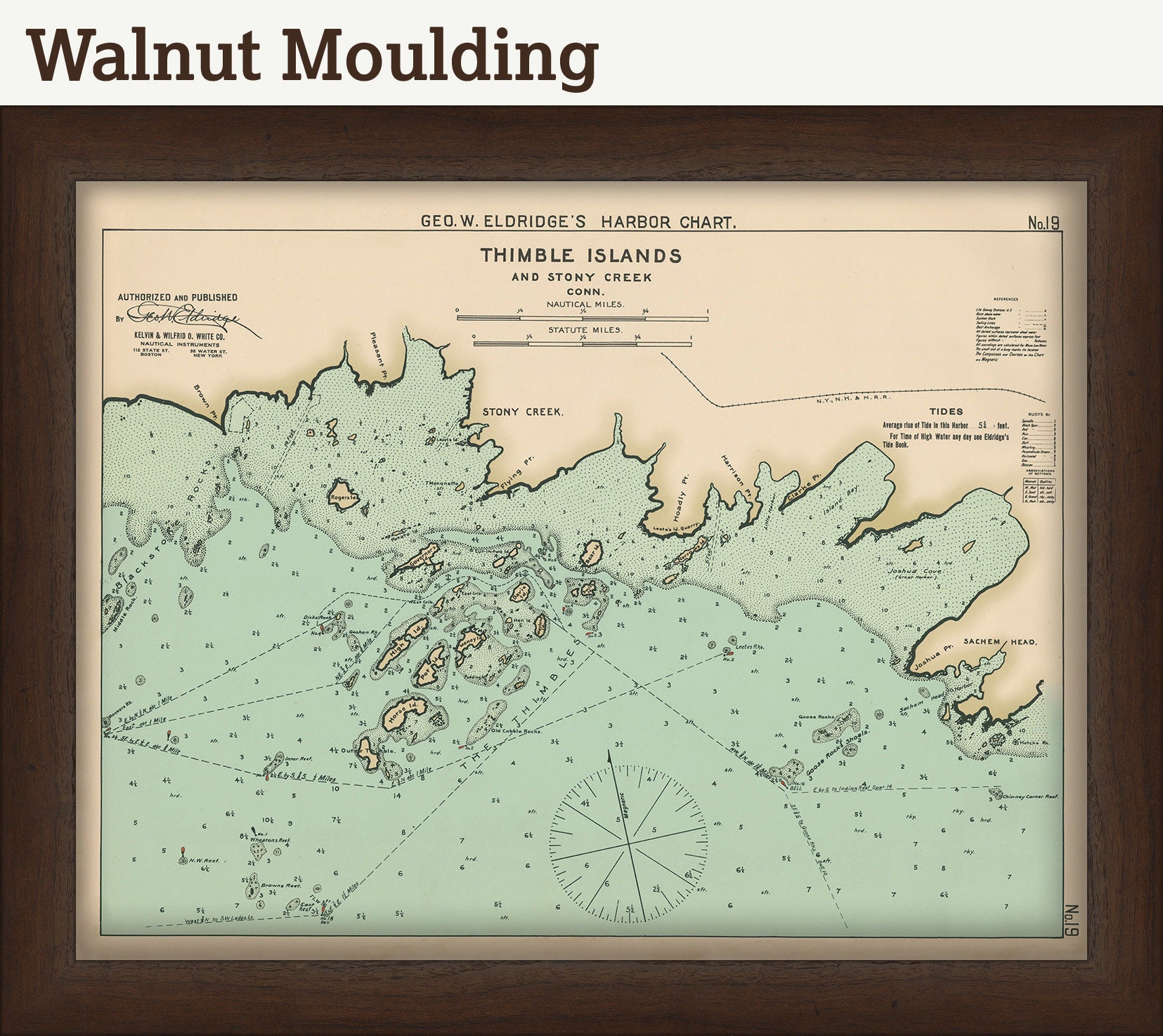
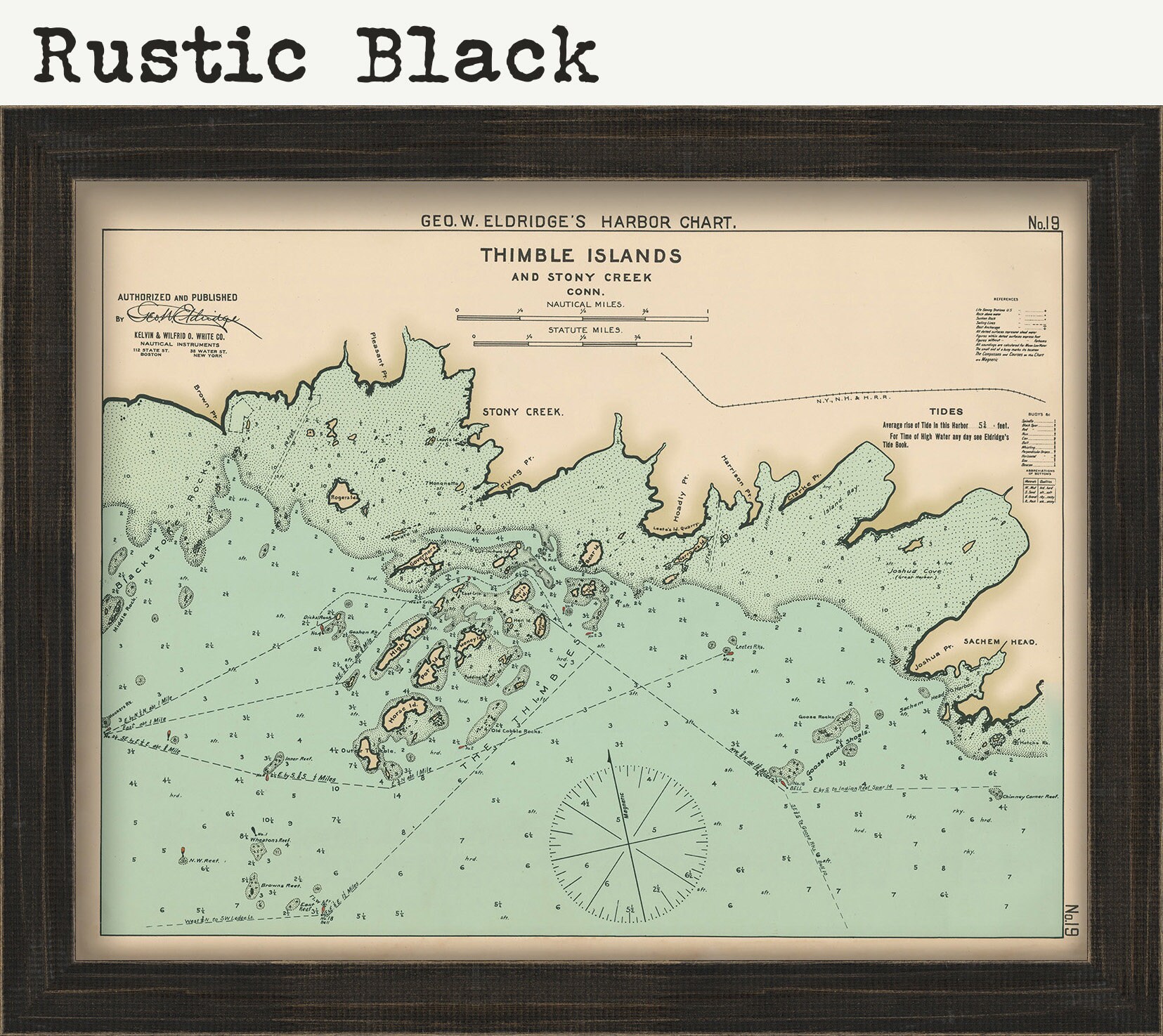
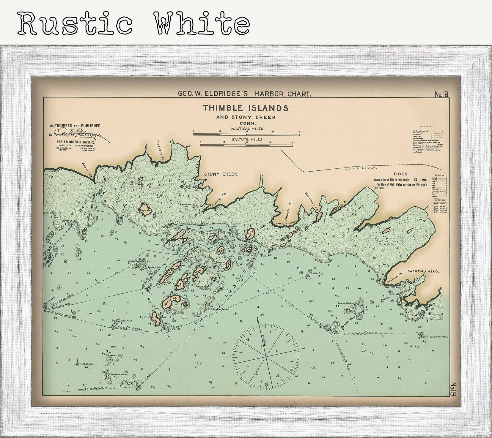
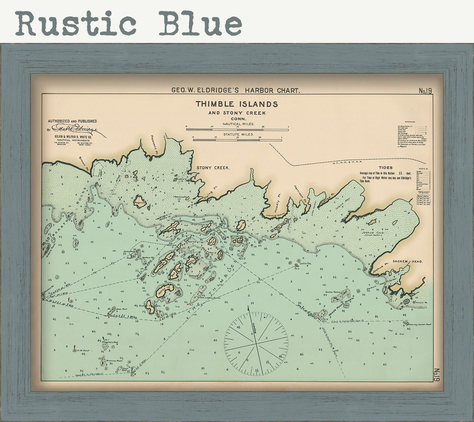
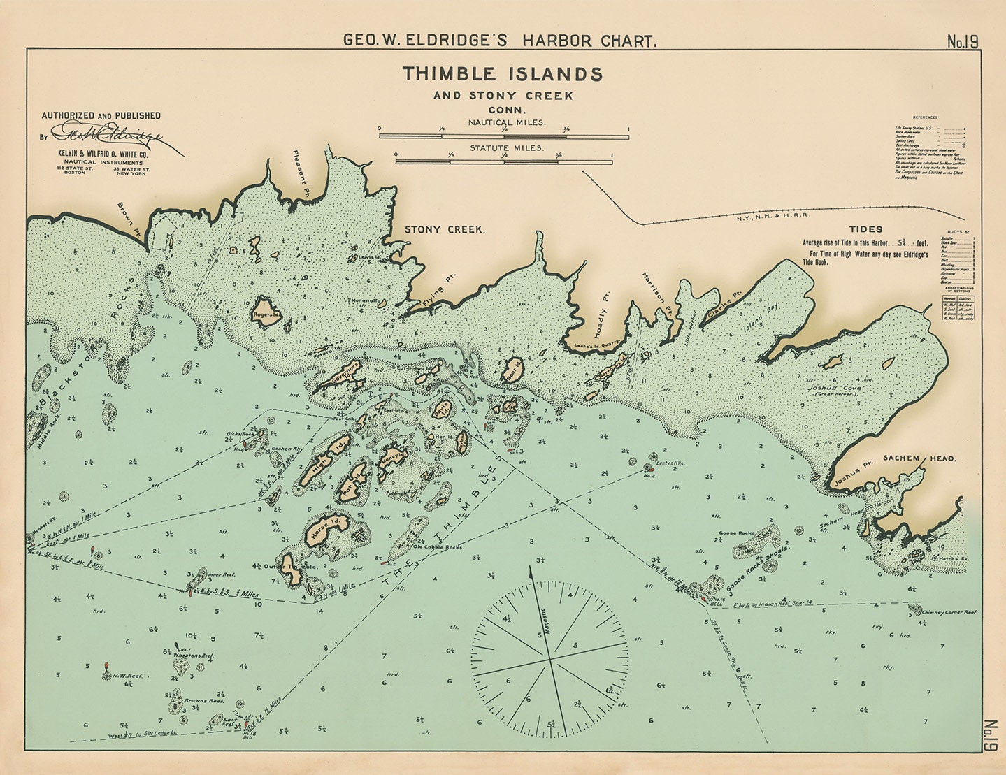
Thimble Islands, Connecticut - Nautical Chart by George W. Eldridge 1901 Colored Version 0317
$50.00
A Nautical Chart of the Thimble Islands by George W. Eldridge originally published in 1901. This map is from the atlas "Geo. W. Eldrige's Harbor-Chart Book, New York to Boston". Eldridge Charts are renowned for bold lines and a clear and concise style.
Original Dimensions of the Map are: 20" wide by 15" tall.
Framed Dimensions are: 23" wide by 18" tall.
Framed maps include drymounting, UV filtering glass, and your choice of five mouldings, wired and ready to hang upon delivery.
This map has been scanned From The Original at 600 dpi using state of the art equipment. The replica map is printed on heavy matte fine art paper using archival pigment inks. This is one of over 5000 Original maps, charts and posters in our collection.
Custom sizes are available. If you are interested in a custom size, please let us know through the "ask a question" button in this listing.
Retailers who would like to carry our Maps, please contact us through the "ask a question" button in this listing, for information and discounts.
If you would like to inspect a higher resolution version of this map, please copy and paste this url into a new tab in your browser:
http://rmicusec.sirv.com/etsy/nybc019.jpg
0317
Shipping from United States
Processing time
1-3 business days
Customs and import taxes
Buyers are responsible for any customs and import taxes that may apply. I'm not responsible for delays due to customs.
Payment Options
Returns & Exchanges
I gladly accept cancellations
Reviews (5)
Average:
Jun 24, 2022
Thank you, very nice item!
Jun 20, 2022
Gorgeous additional to my wall collection of maps for special locations in life ❤️
Apr 12, 2022
High quality print, arrived well packed
Mar 7, 2022
It came so quick, could not believe it! So happy with the product, it exceeded my expectations. So perfect, my husband fishes the thimbles! Very personal gift!
Oct 11, 2021
Came quickly and packaged really well. Print is also beautiful! Thanks!
