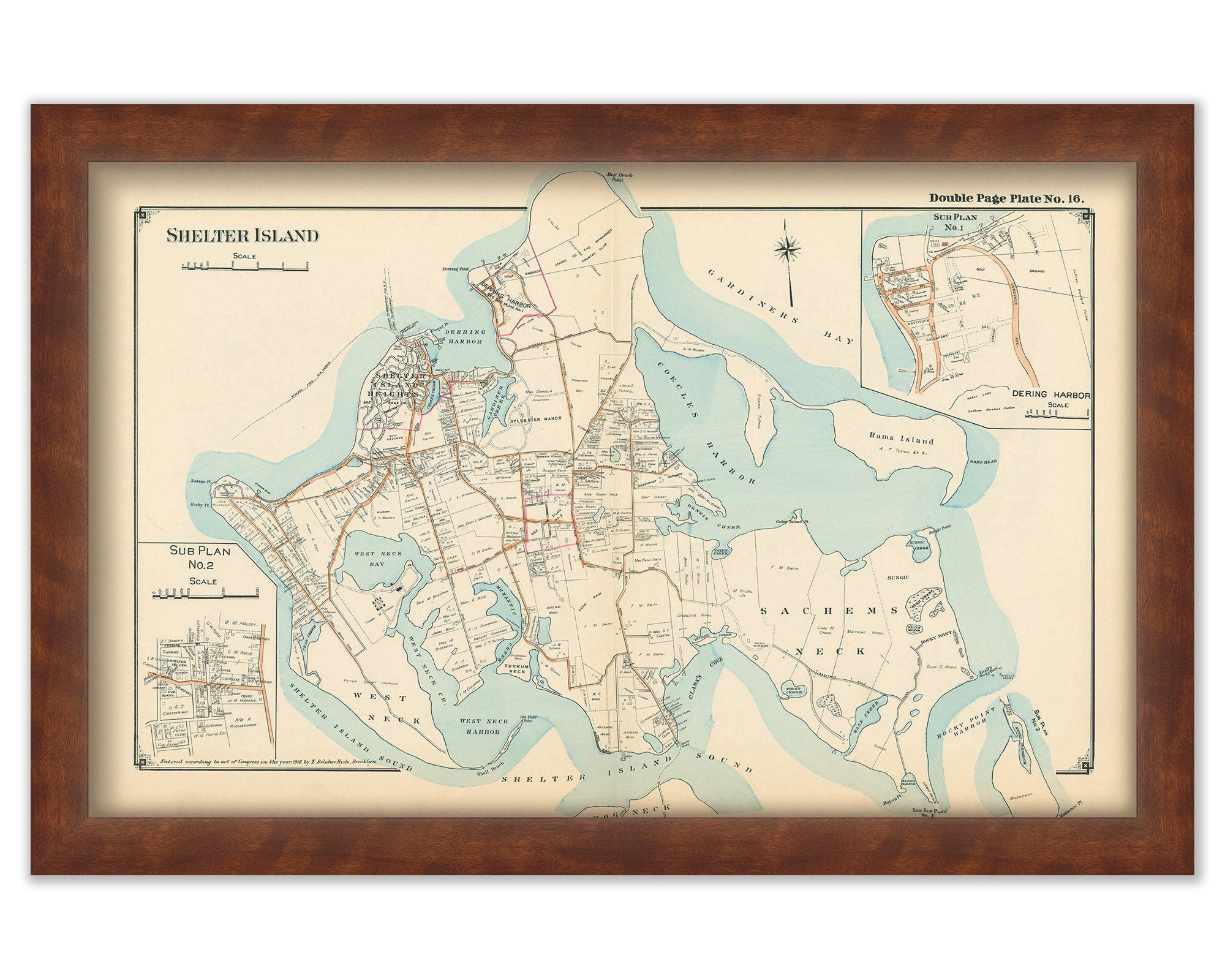
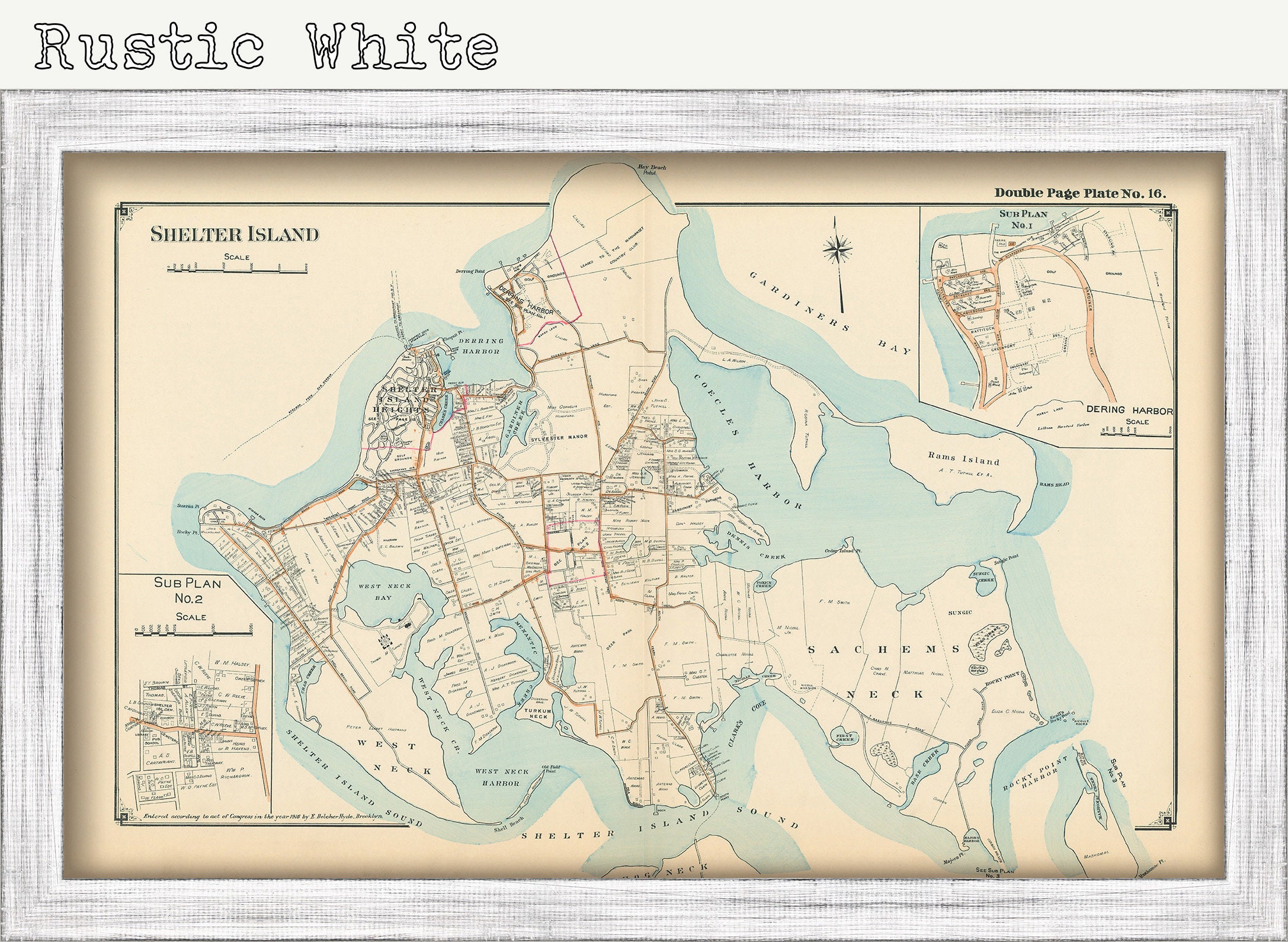
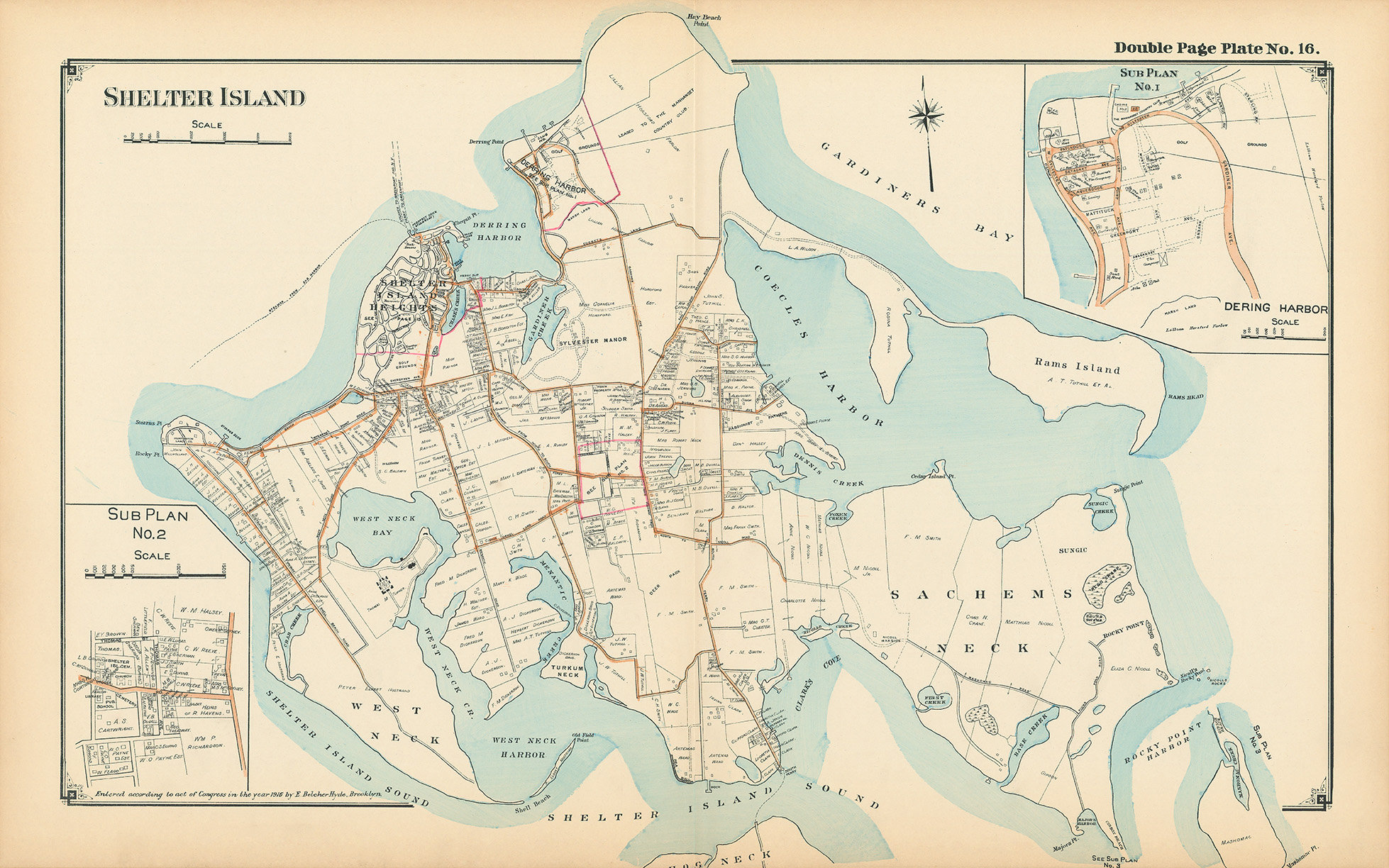
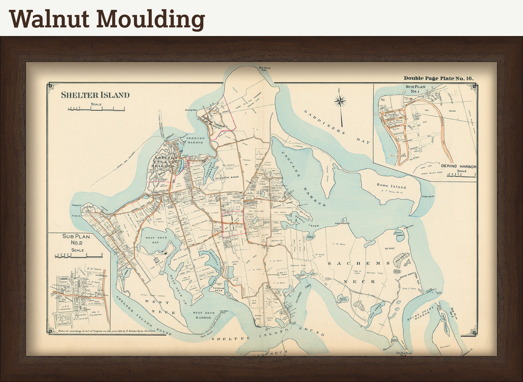
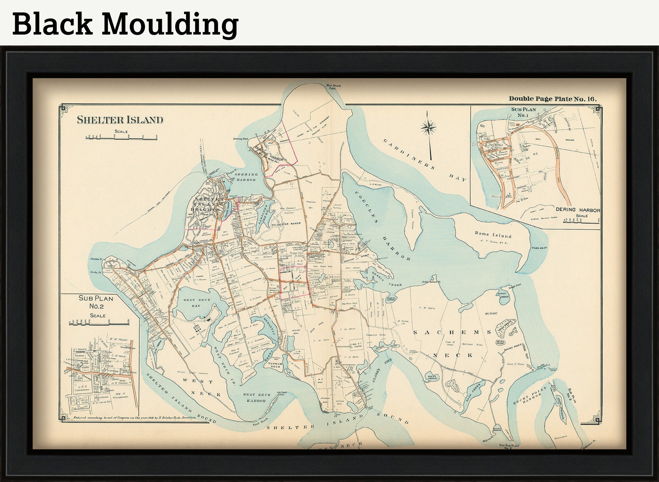
A map of Shelter Island From the 1916 Atlas "Ocean Side of Suffolk County Long Island"
Dimensions of the Map are: 27" wide by 17" tall
Framed Dimensions are: 30" wide by 20" tall
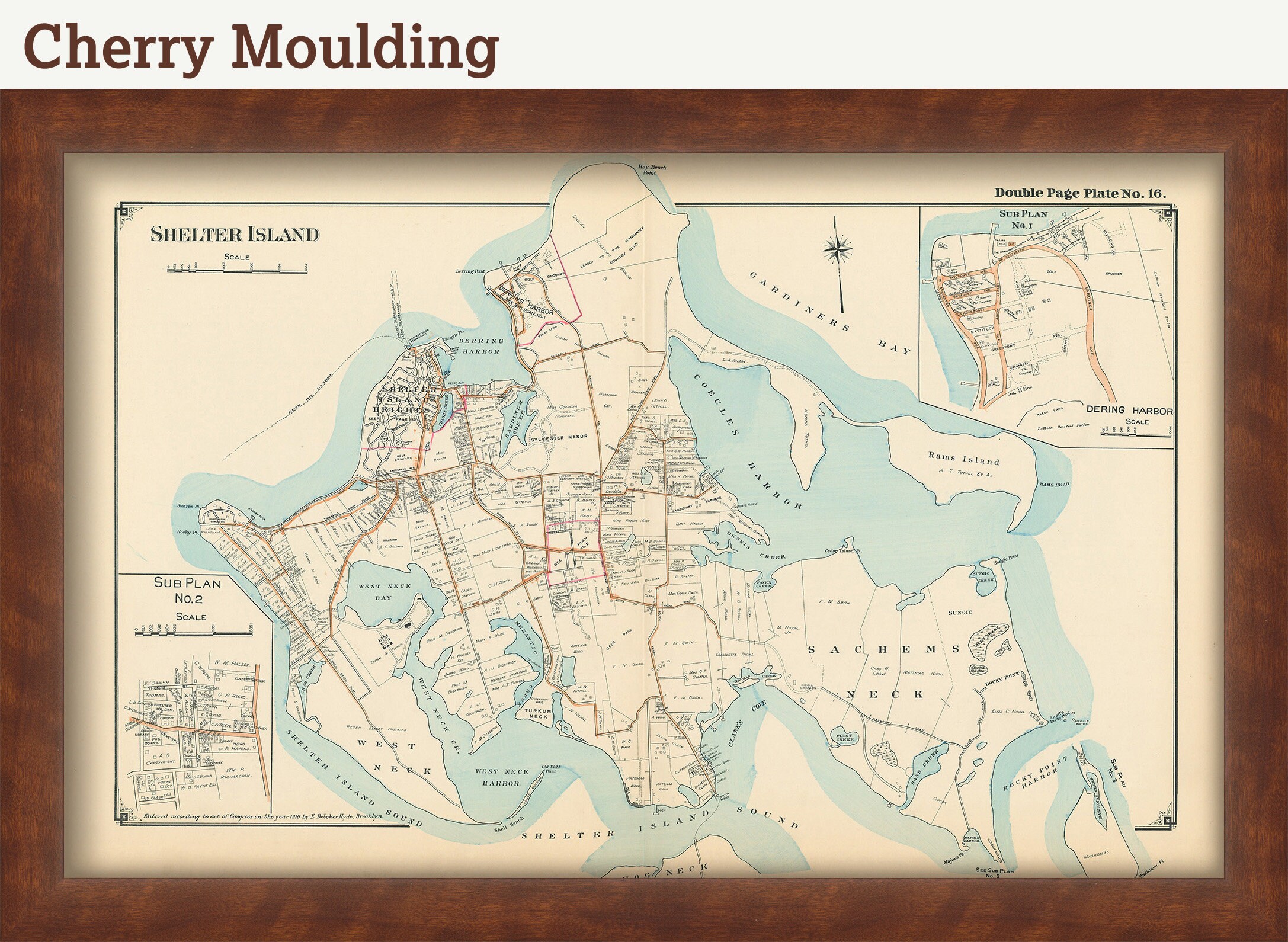
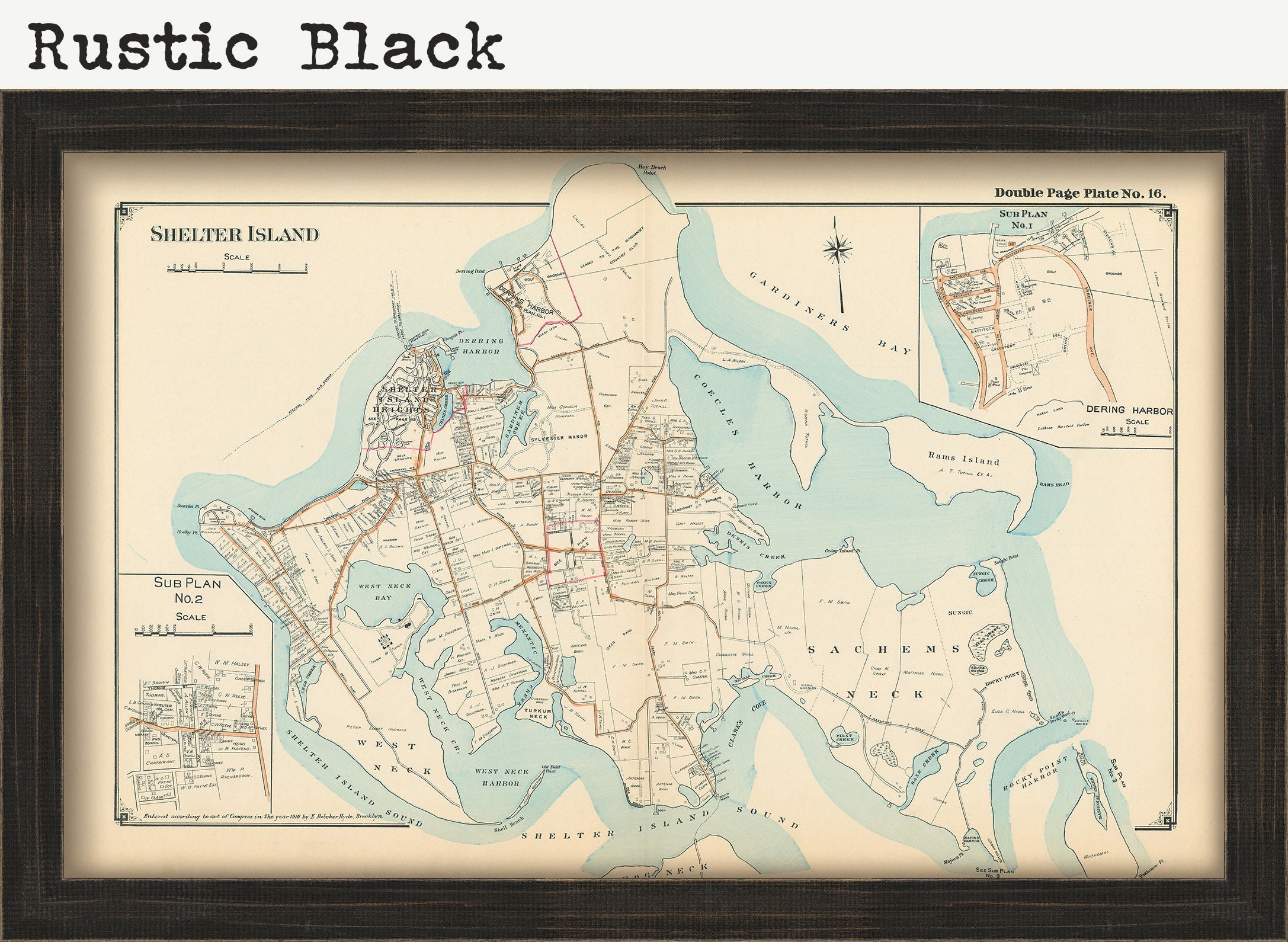
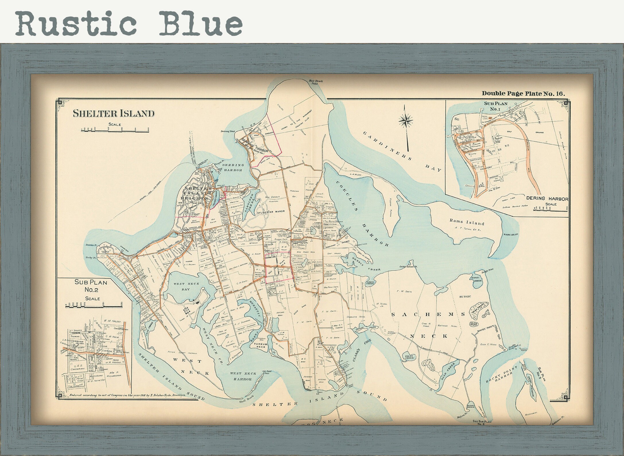
Framed maps include drymounting, UV filtering glass, and your choice of mouldings, wired and ready to hang upon delivery.
This map has been scanned From OUR ORIGINAL at 600 dpi using state of the art equipment. The replica map is printed on heavy matte fine art paper using archival pigment inks. This is one of over 5000 Original maps, charts and posters in our collection.
Many reproduction maps that are available on Etsy are taken directly from public domain sources {NY Public Library, Library of Congress, etc}. Although great for research purposes, these image files frequently suffer from poor color accuracy, lens blur and distortion. The maps in our collection have been scanned from the ORIGINAL, flat, at high resolution and with precisely calibrated color. This allows us to prints replicas that are virtually indistinguishable from the original maps.
The original version of this map from 1916 Has been sold.
Retailers who would like to carry our Maps, please contact us through the "ask a question" button in this listing, for information and discounts.
If you would like to inspect a higher resolution version of this map, please copy and paste this url into a new tab in your browser:
http://rmicusec.sirv.com/OSSC1916/016OSSH.jpg
0050
Shipping from United States
Processing time
1-3 business days
Customs and import taxes
Buyers are responsible for any customs and import taxes that may apply. I'm not responsible for delays due to customs.
Payment Options
Returns & Exchanges
Returns & exchanges not accepted
But please contact me if you have problems with your order
I gladly accept cancellations
Request a cancellation within: 1 hours of purchase
Reviews (4)
Average:
Sep 28, 2023
Beautiful map, and fast shipping!
Ben Sturges
Sep 21, 2022
It’s beautiful! Far nicer than I even expected!
L. Doyle
Sep 30, 2019
Fast shipping, great quality and 100% as described.
ariel mone
Sep 2, 2019
Kim Nemser