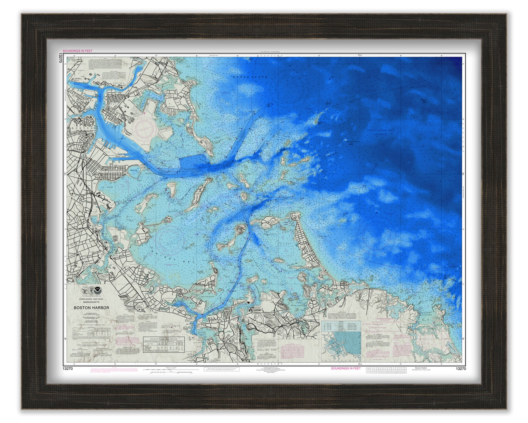
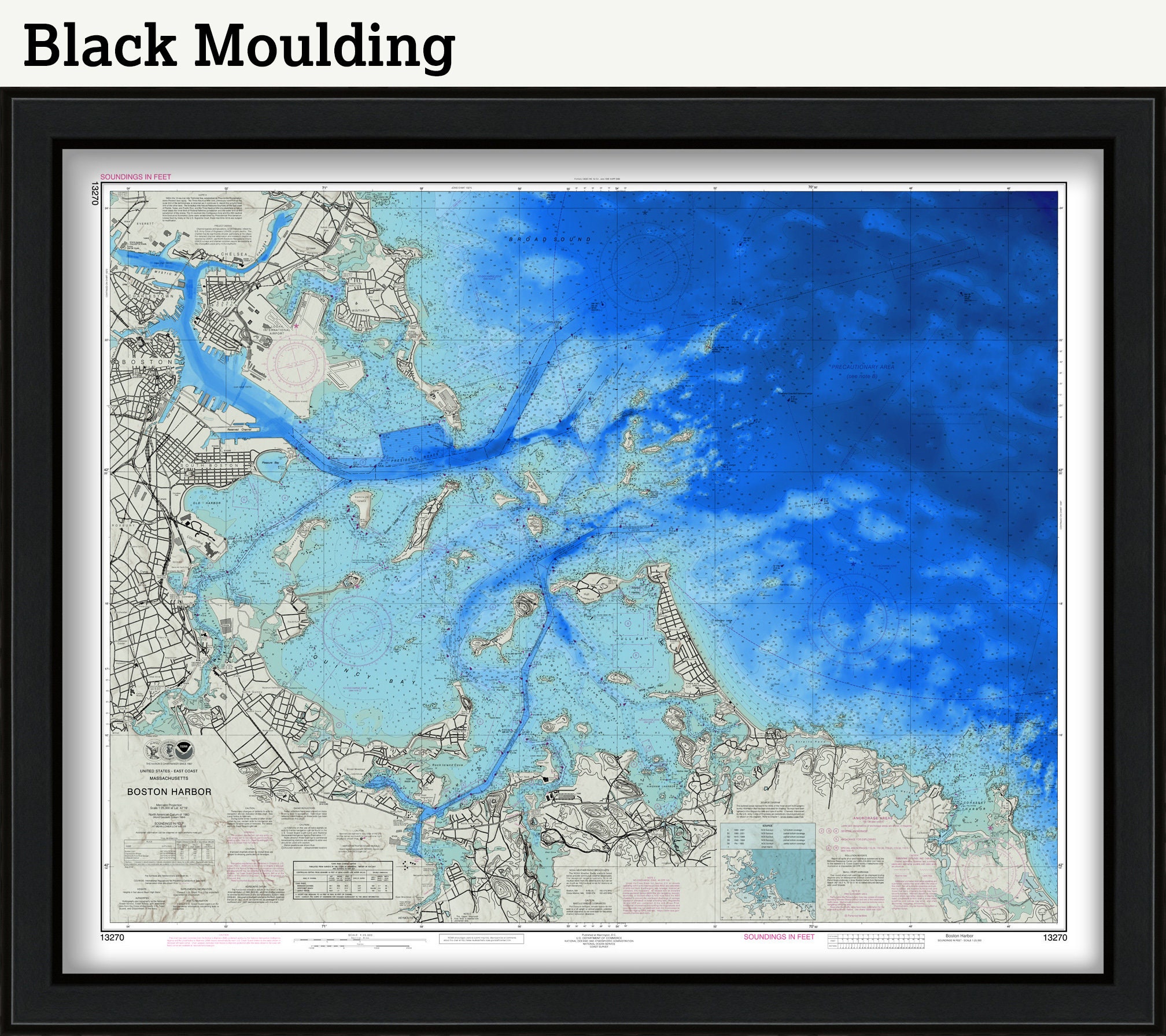
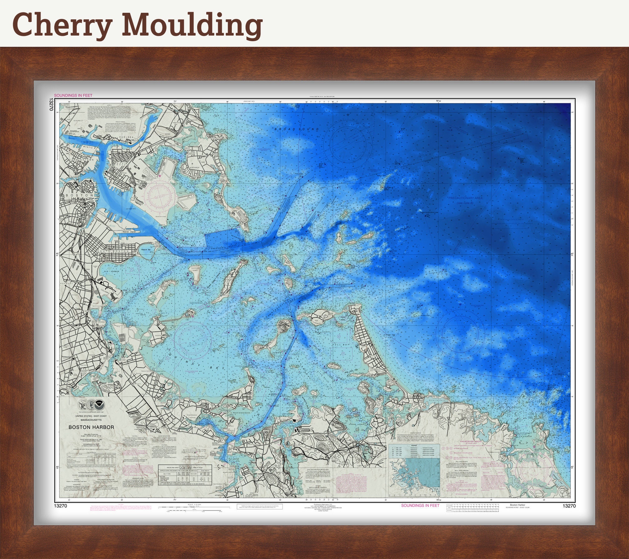
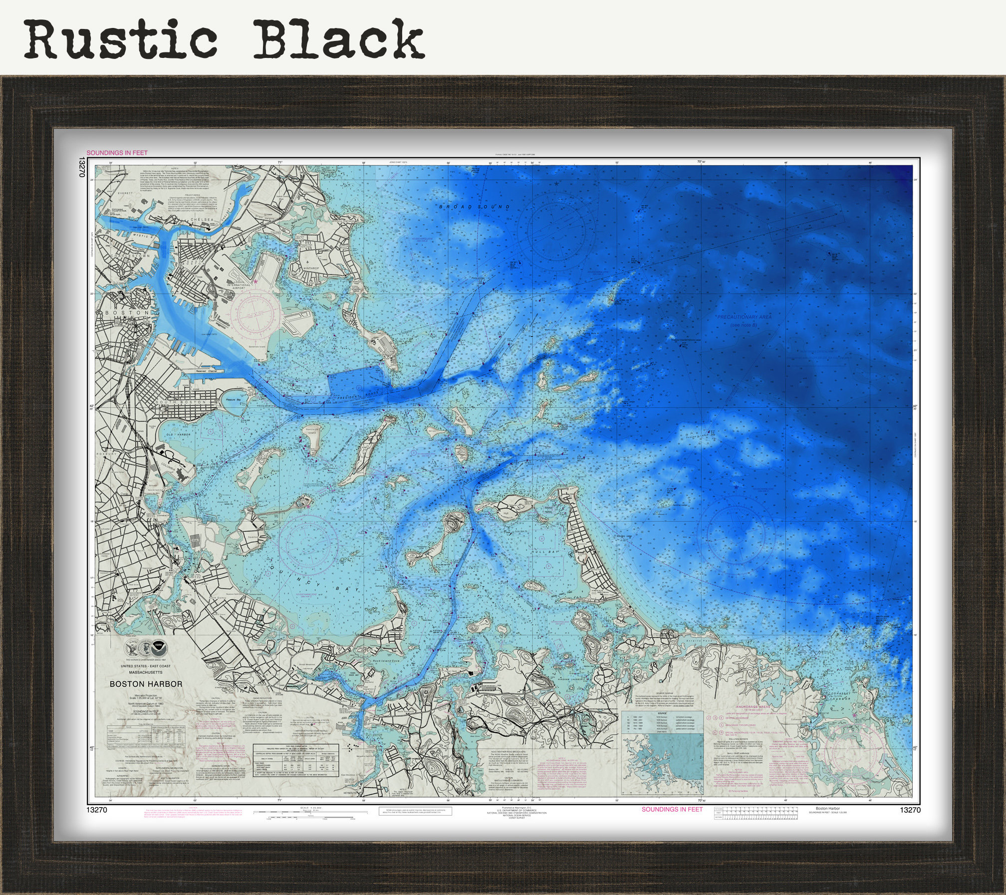
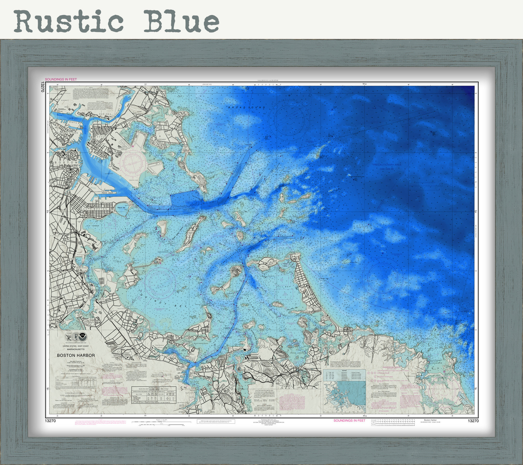
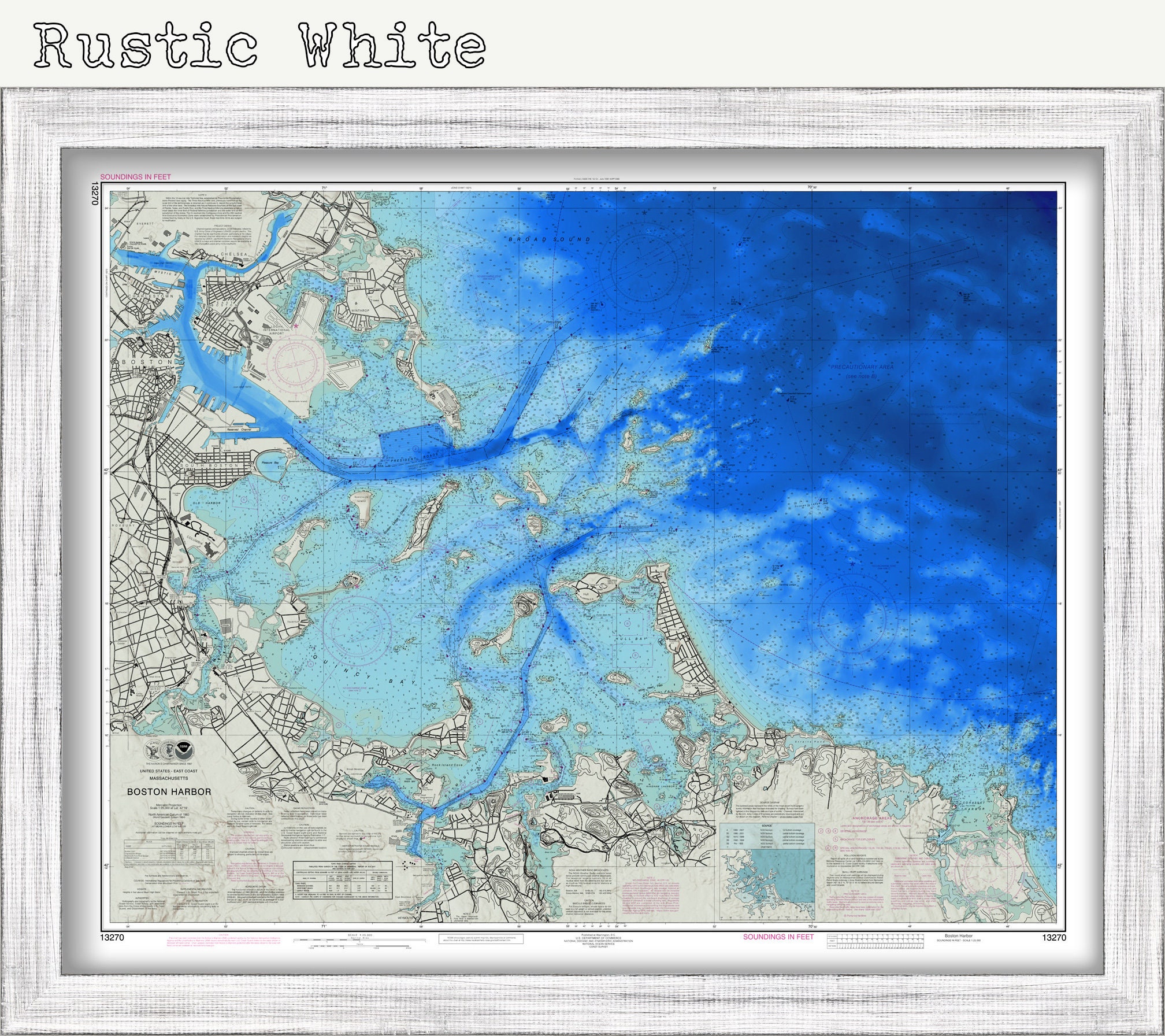
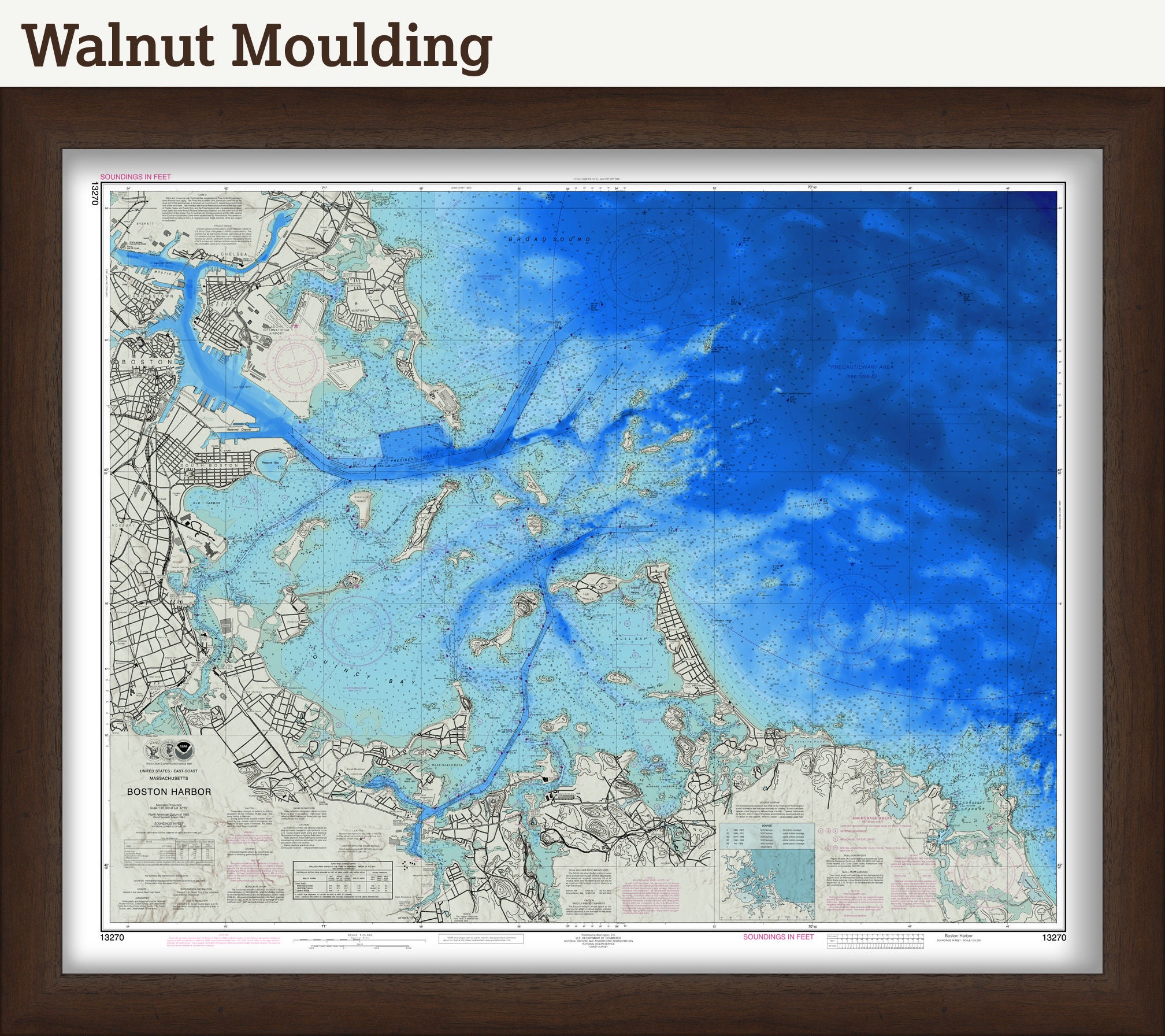
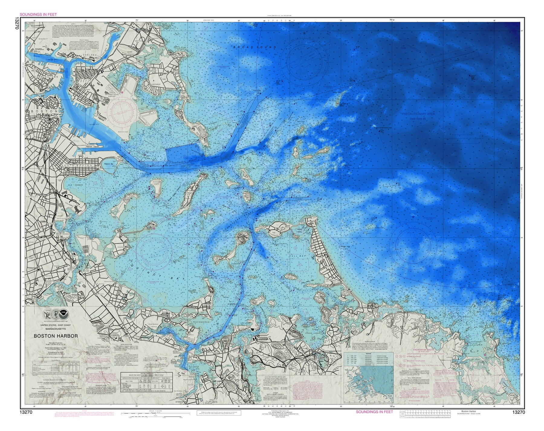
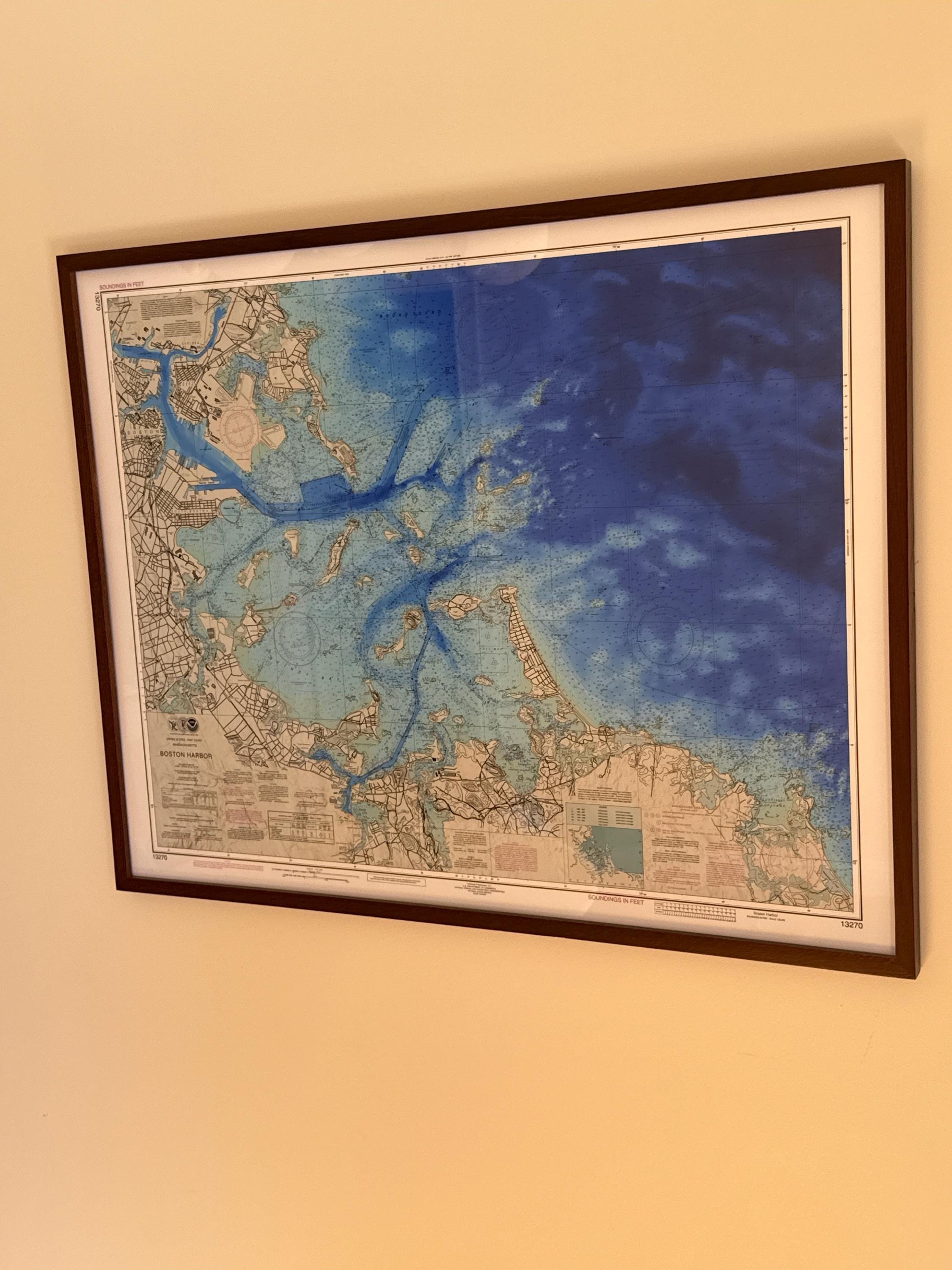
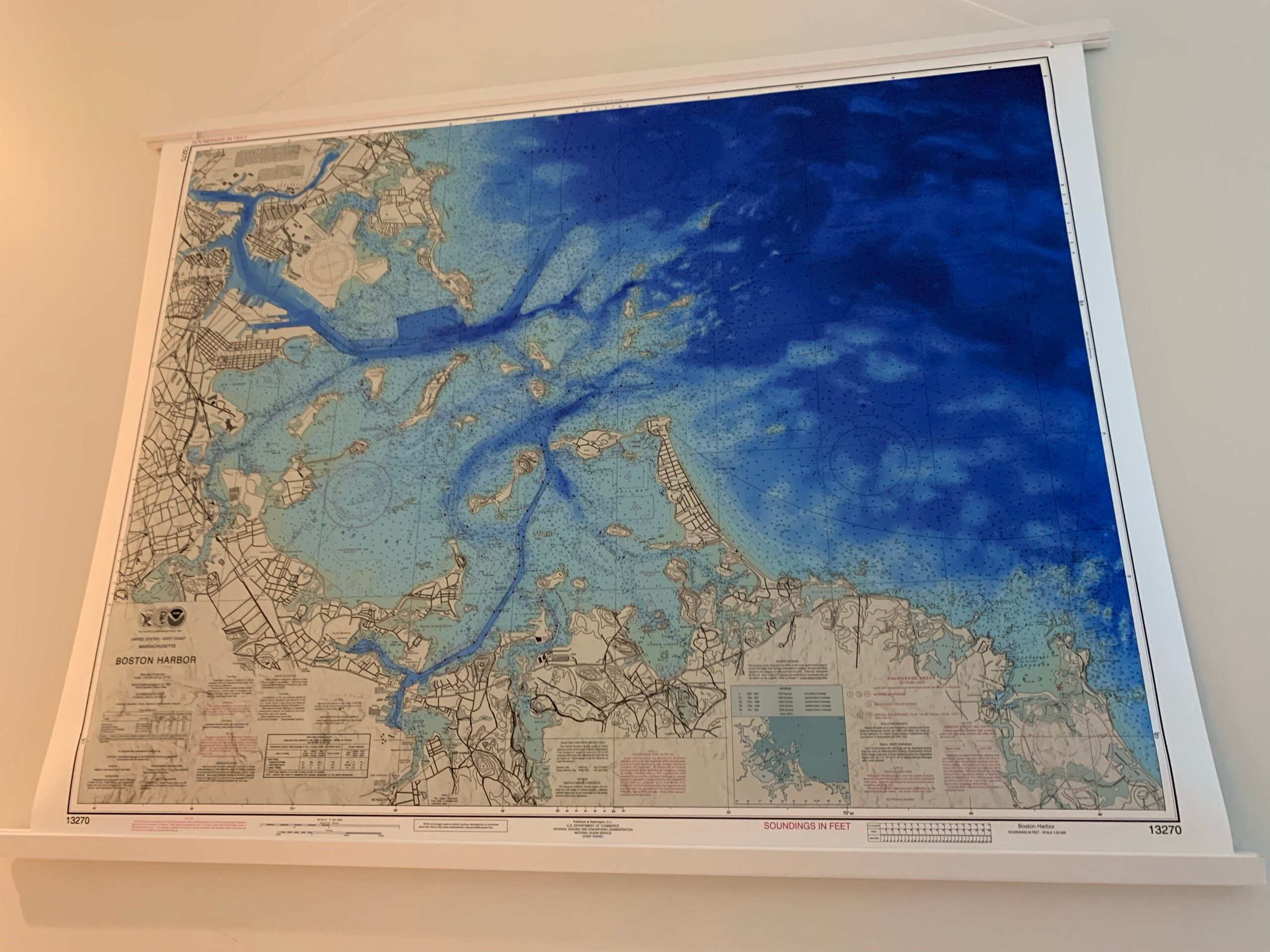
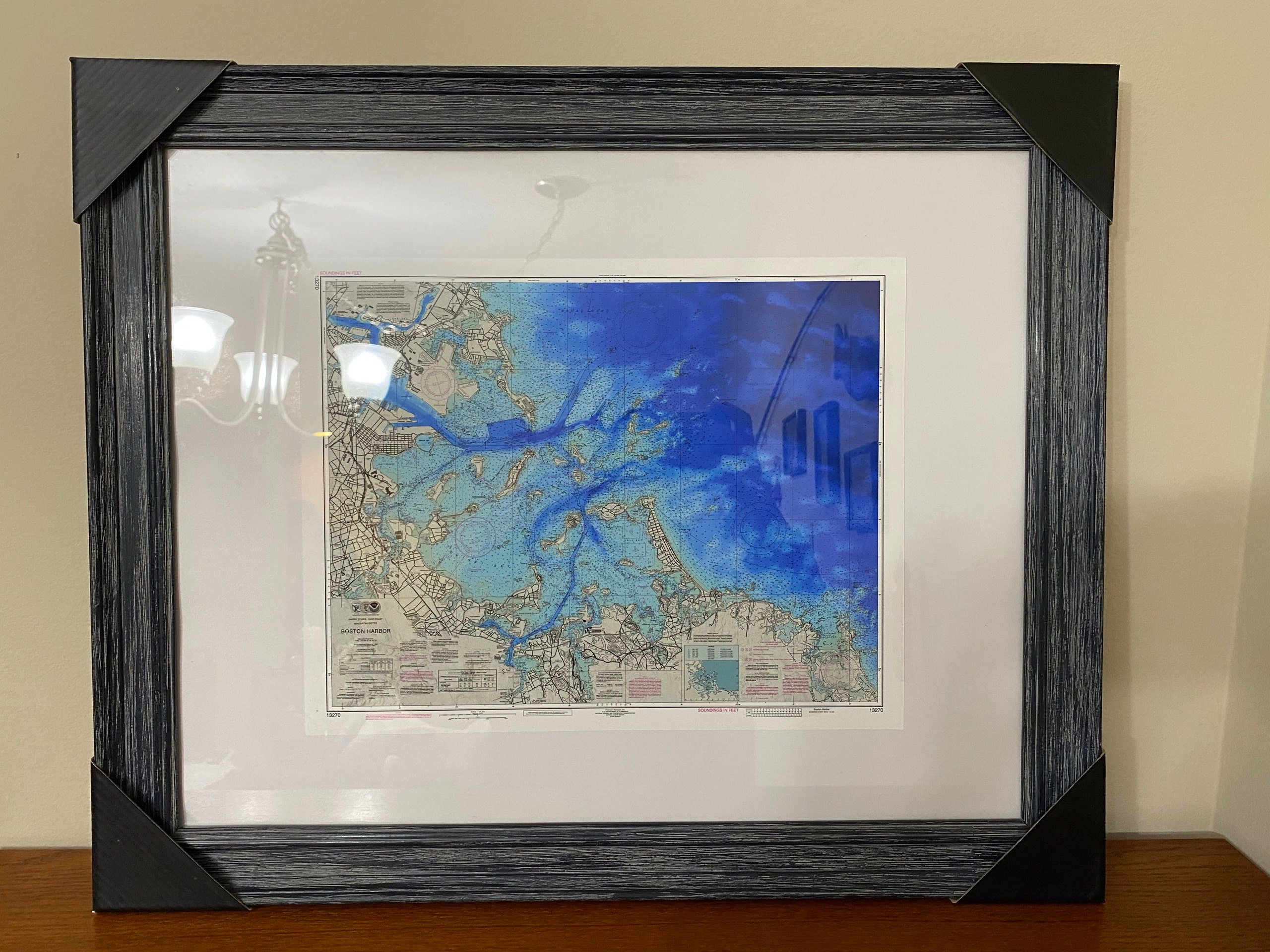
A Reproduction of a Nautical Chart of BOSTON HARBOR, Massachusetts - originally published by NOAA
.
This image is printed on heavy matte fine art paper with archival inks.
Framing is available.
Framed replica maps include dry mounting, UV filtering glass, and your choice of six mouldings, wired and ready to hang upon delivery. All mouldings are approximately 1.5" wide. Please factor in an additional 3" to the listed size for framed items.
Custom sizes or larger sizes are available. If you are interested in a custom size or larger size, please let us know through the "ask a question" button in this listing.
This image is printed on heavy matte fine art paper with archival inks. Framing is available. Framed charts include drymounting, UV filtering glass, and your choice of six mouldings, wired and ready to hang upon delivery. All mouldings are approximately 1.5" wide. Please factor in an additional 3" to the listed size for framed items.
Retailers who would like to carry our Maps and Prints, please contact us through the "ask a question" button in this listing, for information and discounts.
2501
Shipping from United States
Processing time
1-3 business days
Customs and import taxes
Buyers are responsible for any customs and import taxes that may apply. I'm not responsible for delays due to customs.
Payment Options
Returns & Exchanges
Returns & exchanges not accepted
But please contact me if you have problems with your order
I gladly accept cancellations
Request a cancellation within: 1 hours of purchase
Reviews (5)
Average:
Oct 10, 2025
Wonderful print, incredible colors and arrived on time in excellent condition
Scott Brennan
Dec 17, 2024
Looks great - just as shown!
Donna Jenkins
Jan 8, 2024
Perfect for my coastal condo.
Mary
Jun 7, 2023
Absolutely beautiful…we love our new map, and the care taken and speed at which the shop owner shipped this to us was much appreciated. I would highly recommend this shop!
Megan Madison
May 8, 2023
The map is beautiful and of great quality! Bill was very accommodating to our request for a smaller size and it shipped the next business day. 100% would order again and highly recommend.
Tricia S